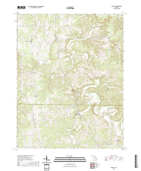
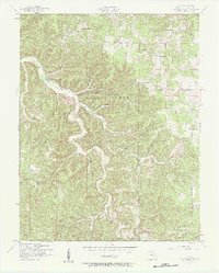
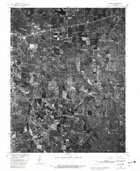
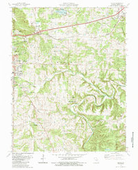
2021 Map of Lecoma
USGS Topo · Published 2021This historical map portrays the area of Lecoma in 2021, primarily covering Phelps County as well as portions of Dent County. Featuring a scale of 1:24000, this map provides a highly detailed snapshot of the terrain, roads, buildings, counties, and historical landmarks in the Lecoma region at the time. Published in 2021, it is the sole known edition of this map.
Map Details
Editions of this 2021 Lecoma Map
This is the sole edition of this map. No revisions or reprints were ever made.
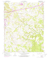
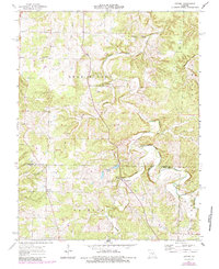
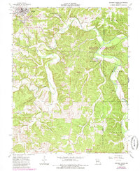
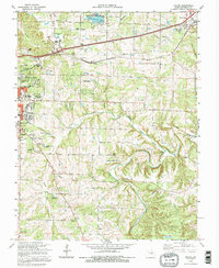
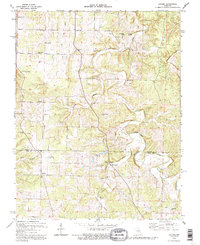
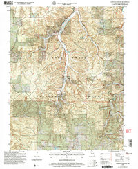
Historical Maps of Hobson Through Time
29 maps found
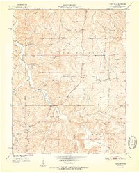
1928 Meramec Spring
Phelps County, MO

1934 Redbird
Phelps County, MO
1938 Redbird
Phelps County, MO
1949 Meramec Spring
Phelps County, MO
1950 Kaintuck Hollow
Phelps County, MO
1950 Yancy Mills
Phelps County, MO
1951 Kaintuck Hollow
Phelps County, MO
1951 Yancy Mills
Phelps County, MO
1954 Flat
Phelps County, MO
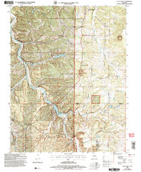
1963 Dillon
Phelps County, MO
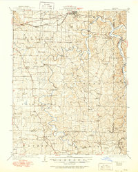
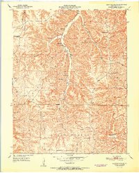
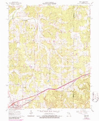
1963 Lecoma
Phelps County, MO
1963 Maramec Spring
Phelps County, MO
1963 Rosati
Phelps County, MO
1963 Seaton
Phelps County, MO
1980 Dillon
Phelps County, MO
1980 Maramec Spring
Phelps County, MO
1985 Dillon
Phelps County, MO
1992 Dillon
Phelps County, MO
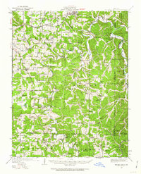
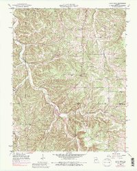
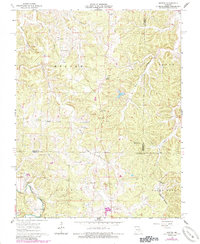
1992 Lecoma
Phelps County, MO
2004 Kaintuck Hollow
Phelps County, MO
2004 Yancy Mills
Phelps County, MO
2021 Dillon
Phelps County, MO

2021 Flat
Phelps County, MO
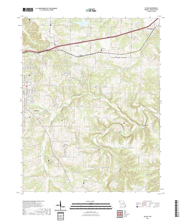
2021 Kaintuck Hollow
Phelps County, MO
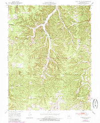
2021 Lecoma
Phelps County, MO
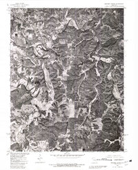
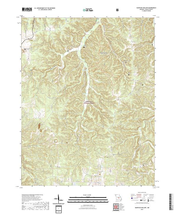
2021 Maramec Spring
Phelps County, MO
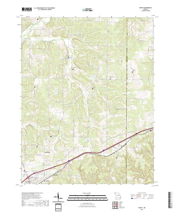
2021 Rosati
Phelps County, MO
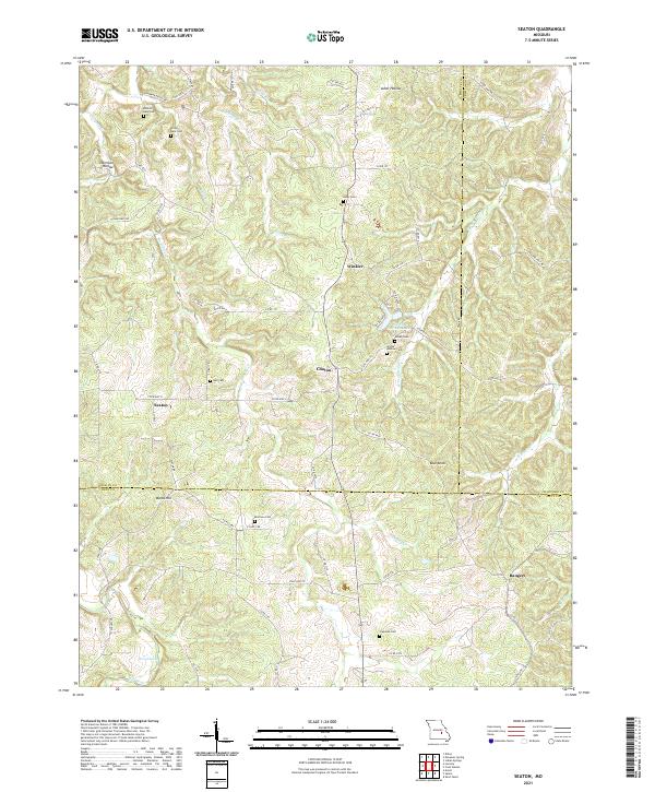
2021 Seaton
Phelps County, MO
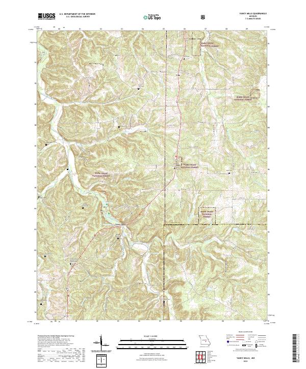
2021 Yancy Mills
Phelps County, MO