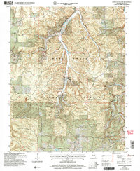
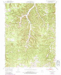
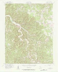
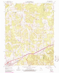
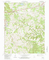
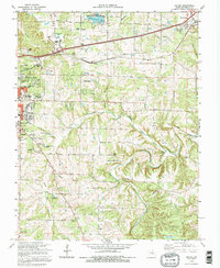
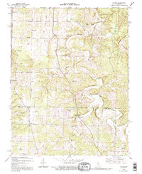
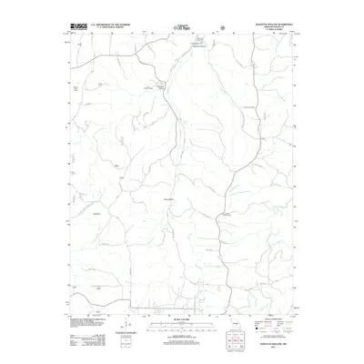
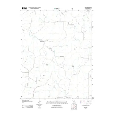
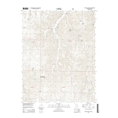
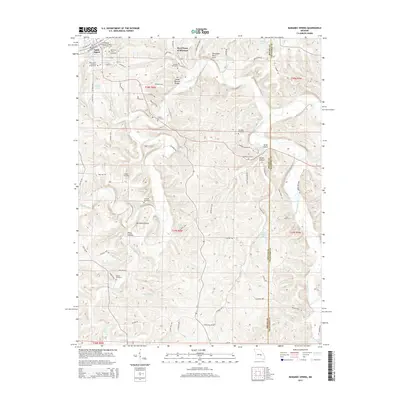
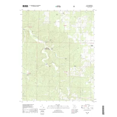
2004 Map of Kaintuck Hollow
USGS Topo · Published 2006About this map
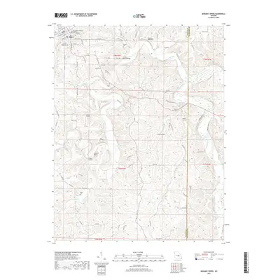
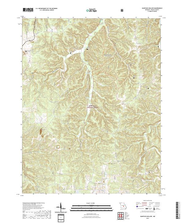
The Mark Twain National Forest dominates this Missouri landscape, where the deeply carved terrain of Kaintuck Hollow and Hardester Hollow reveals a history of rural Missouri education and faith. The map serves as a primary record for genealogists, preserving the locations of numerous vanished institutions including the Western Star Sch (Site) and Colon Sch (Site). While the settlements themselves have largely receded into the forest, their spiritual and civic centers remain visible through labels for the Mill Creek Ch and several burial grounds like Upper Mill Creek Cem. The karst topography is evident in features such as the Natural Bridge and King Sink, which highlight the unique geology of the Ozark Plateau. Water sources such as Wilkins Spring and Elm Spring flow into the larger drainage of Mill Creek, defining the traditional movement patterns and homestead locations of the region.
Find a feature on this map
37 named features on this map. Tap any name to fly to it.
Don’t see what you’re looking for? This feature index may not catch every label — zoom into the map to look around manually.
Map Details
Editions of this 2004 Kaintuck Hollow Map
This is the sole edition of this map. No revisions or reprints were ever made.
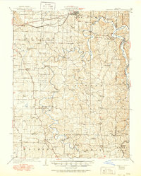
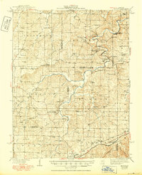
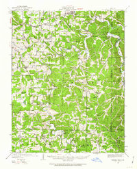
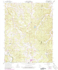
Historical Maps of Phelps County Through Time
53 maps found
1928 Meramec Spring
Phelps County, MO

1934 Redbird
Phelps County, MO
1938 Redbird
Phelps County, MO
1949 Meramec Spring
Phelps County, MO
1950 Kaintuck Hollow
Phelps County, MO
1950 Yancy Mills
Phelps County, MO
1951 Kaintuck Hollow
Phelps County, MO
1951 Yancy Mills
Phelps County, MO
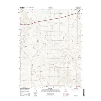
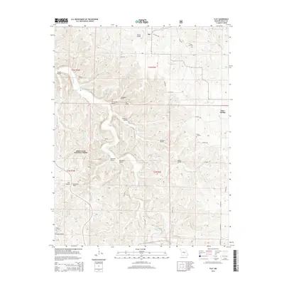
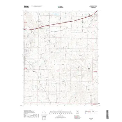
1954 Flat
Phelps County, MO
1963 Dillon
Phelps County, MO
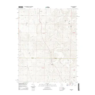
1963 Lecoma
Phelps County, MO
1963 Maramec Spring
Phelps County, MO
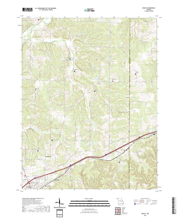
1963 Rosati
Phelps County, MO
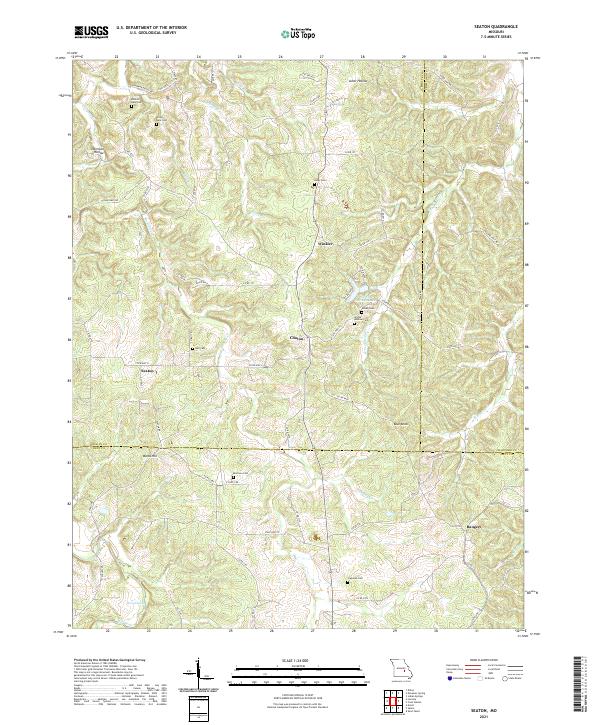
1963 Seaton
Phelps County, MO
1980 Dillon
Phelps County, MO
1980 Maramec Spring
Phelps County, MO
1985 Dillon
Phelps County, MO
1992 Dillon
Phelps County, MO
1992 Lecoma
Phelps County, MO
2004 Kaintuck Hollow
Phelps County, MO
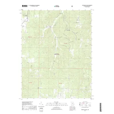
2004 Yancy Mills
Phelps County, MO
2011 Kaintuck Hollow
Phelps County, MO
2011 Seaton
Phelps County, MO
2011 Yancy Mills
Phelps County, MO
2012 Dillon
Phelps County, MO
2012 Flat
Phelps County, MO
2012 Lecoma
Phelps County, MO
2012 Maramec Spring
Phelps County, MO
2012 Rosati
Phelps County, MO
2015 Dillon
Phelps County, MO
2015 Flat
Phelps County, MO
2015 Kaintuck Hollow
Phelps County, MO
2015 Lecoma
Phelps County, MO
2015 Maramec Spring
Phelps County, MO
2015 Rosati
Phelps County, MO
2015 Seaton
Phelps County, MO
2015 Yancy Mills
Phelps County, MO
2017 Dillon
Phelps County, MO
2017 Flat
Phelps County, MO
2017 Kaintuck Hollow
Phelps County, MO
2017 Lecoma
Phelps County, MO
2017 Maramec Spring
Phelps County, MO
2017 Rosati
Phelps County, MO
2017 Seaton
Phelps County, MO
2017 Yancy Mills
Phelps County, MO
2021 Dillon
Phelps County, MO

2021 Flat
Phelps County, MO
2021 Kaintuck Hollow
Phelps County, MO
2021 Lecoma
Phelps County, MO
2021 Maramec Spring
Phelps County, MO
2021 Rosati
Phelps County, MO
2021 Seaton
Phelps County, MO
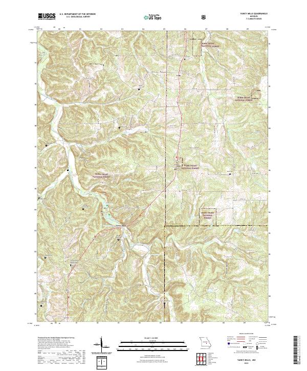
2021 Yancy Mills
Phelps County, MO