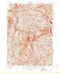
1932 Map of Ludlow
USGS Topo · Published 1945About this map
The Rutland RR serves as a central artery through this Vermont landscape, threading through narrow river valleys and connecting the industrial and social hubs of Ludlow, Proctorsville, and Chester. These settlements, alongside smaller hamlets like Tyson and Gassetts, represent the early 20th-century character of Windsor County, where topography dictated the path of both rail and road. The map records a dense network of local education and community life, featuring numerous rural schoolhouses such as Cavendish Center Sch, Gilchrist Sch, and Whetstone Hill Sch.
Find a feature on this map
123 named features on this map. Tap any name to fly to it.
Don’t see what you’re looking for? This feature index may not catch every label — zoom into the map to look around manually.
Map Details
Editions of this 1932 Ludlow Map
4 editions found

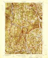
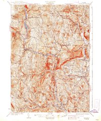
Other maps of this area

1891 · Rutland
USGS Topo · 1:62,500

1893 · Wallingford
USGS Topo · 1:62,500

1893 · Rutland
USGS Topo · 1:62,500

1894 · Londonderry
USGS Topo · 1:62,500

1899 · Londonderry
USGS Topo · 1:62,500

1906 · Hanover
USGS Topo · 1:62,500

1908 · Hanover
USGS Topo · 1:62,500

1911 · Woodstock
USGS Topo · 1:62,500

1913 · Woodstock
USGS Topo · 1:62,500

1926 · Claremont
USGS Topo · 1:62,500