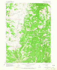
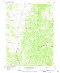
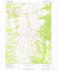
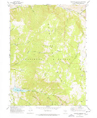
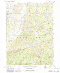
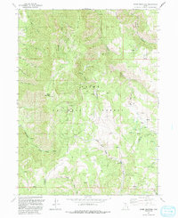
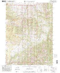
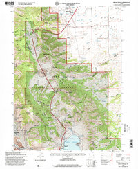
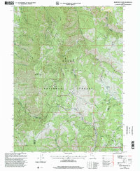
1964 Map of Monte Cristo PK
USGS Topo · Published 1965This historical map portrays the area of Monte Cristo PK in 1964, primarily covering Cache County as well as portions of Weber County and Rich County. Featuring a scale of 1:24000, this map provides a highly detailed snapshot of the terrain, roads, buildings, counties, and historical landmarks in the Monte Cristo PK region at the time. Published in 1965, it is one of 2 known editions of this map due to revisions or reprints.
Find a feature on this map
41 named features on this map. Tap any name to fly to it.
Don’t see what you’re looking for? This feature index may not catch every label — zoom into the map to look around manually.
Map Details
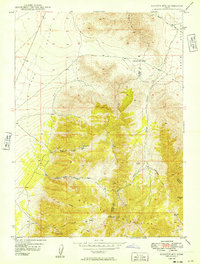
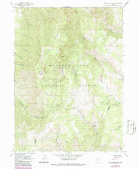
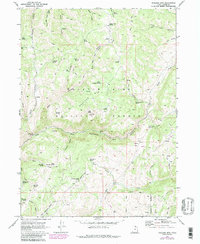
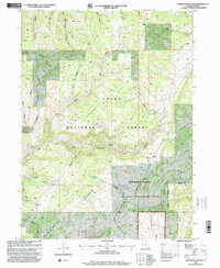
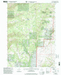
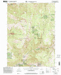
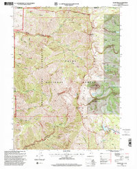
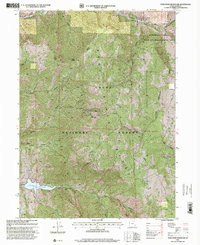
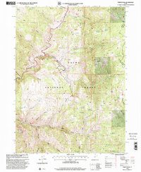
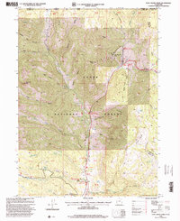
Editions of this 1964 Monte Cristo PK Map
2 editions found
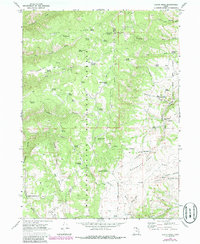
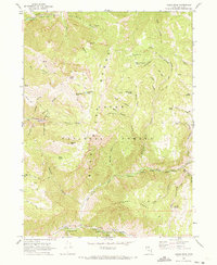
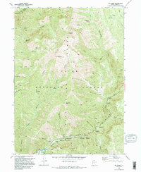
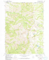
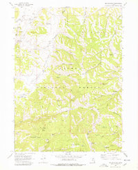
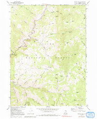
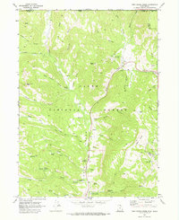
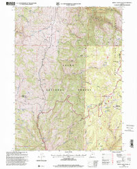
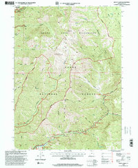
Historical Maps of Rich County Through Time
34 maps found
1949 Boulter Mts
Cache County, UT
1955 James Peak
Cache County, UT
1955 Mount Pisgah
Cache County, UT
1964 Monte Cristo PK
Cache County, UT
1964 Sharp Mountain
Cache County, UT
1969 Boulder Mtn
Cache County, UT
1969 Curtis Ridge
Cache County, UT
1969 Hardware Ranch
Cache County, UT
1969 Logan Peak
Cache County, UT
1969 Mt. Elmer
Cache County, UT
1969 Naomi Peak
Cache County, UT
1969 Porcupine Reservoir
Cache County, UT
1969 Red Spur Mtn
Cache County, UT
1969 Temple Peak
Cache County, UT
1969 Tony Grove Creek
Cache County, UT
1986 Red Spur Mtn
Cache County, UT
1991 James Peak
Cache County, UT
1991 Monte Cristo Peak
Cache County, UT
1991 Mount Pisgah
Cache County, UT
1991 Sharp Mountain
Cache County, UT
1998 Boulder Mountain
Cache County, UT
1998 Curtis Ridge
Cache County, UT
1998 Hardware Ranch
Cache County, UT
1998 James Peak
Cache County, UT
1998 Logan Peak
Cache County, UT
1998 Monte Cristo Peak
Cache County, UT
1998 Mount Elmer
Cache County, UT
1998 Mount Pisgah
Cache County, UT
1998 Naomi Peak
Cache County, UT
1998 Porcupine Reservoir
Cache County, UT
1998 Red Spur Mountain
Cache County, UT
1998 Sharp Mountain
Cache County, UT
1998 Temple Peak
Cache County, UT
1998 Tony Grove Creek
Cache County, UT