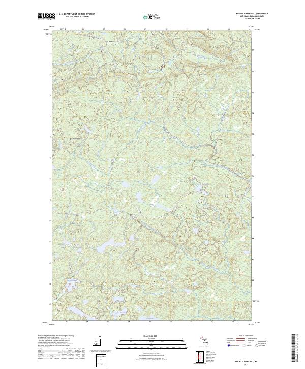
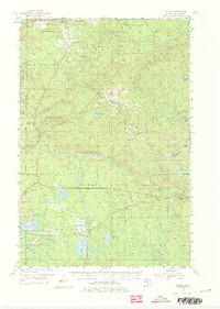
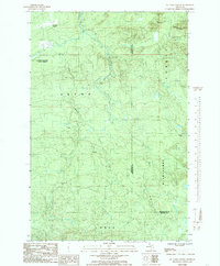
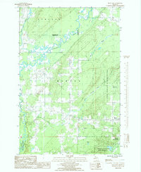
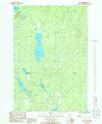
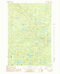
2023 Map of Mount Curwood
USGS Topo · Published 2023This historical map portrays the area of Mount Curwood in 2023, primarily covering Baraga County. Featuring a scale of 1:24000, this map provides a highly detailed snapshot of the terrain, roads, buildings, counties, and historical landmarks in the Mount Curwood region at the time. Published in 2023, it is the sole known edition of this map.
Find a feature on this map
21 named features on this map. Tap any name to fly to it.
Don’t see what you’re looking for? This feature index may not catch every label — zoom into the map to look around manually.
Map Details
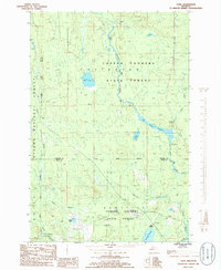
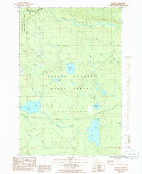
Editions of this 2023 Mount Curwood Map
This is the sole edition of this map. No revisions or reprints were ever made.
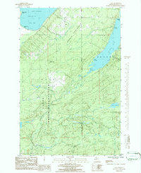
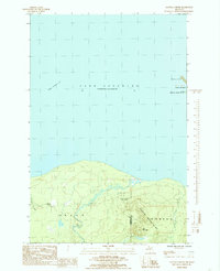
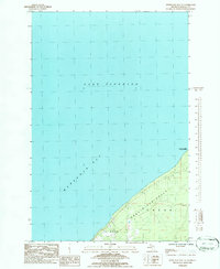
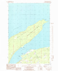
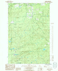
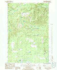
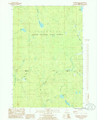
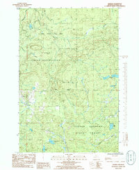
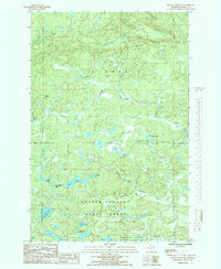
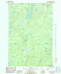
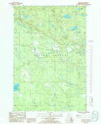
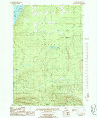
Historical Maps of Spurr Township Through Time
41 maps found
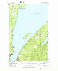
1954 Keweenaw Bay
Baraga County, MI
1954 Sidnaw
Baraga County, MI
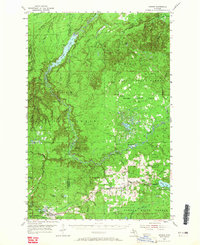
1955 Champion
Baraga County, MI
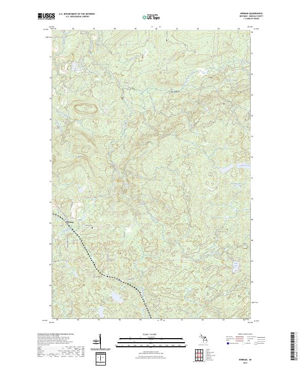
1955 Herman
Baraga County, MI
1984 Aura
Baraga County, MI
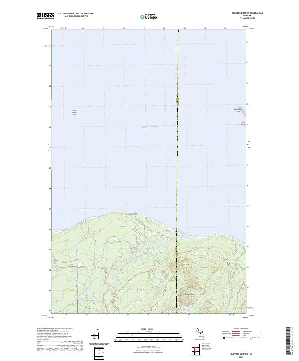
1984 Glovers Corner
Baraga County, MI
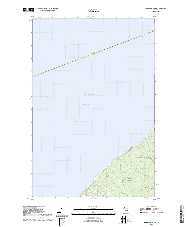
1984 Keweenaw Bay NE
Baraga County, MI
1984 McComb Corner
Baraga County, MI
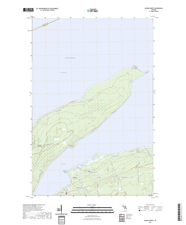
1984 Skanee North
Baraga County, MI
1985 Alberta
Baraga County, MI
1985 Baraga Plains
Baraga County, MI
1985 Bear Town
Baraga County, MI
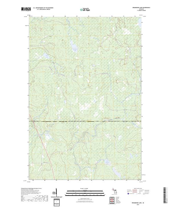
1985 Drummond Lake
Baraga County, MI
1985 Herman
Baraga County, MI
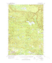
1985 Mount Curwood
Baraga County, MI
1985 Ned Lake
Baraga County, MI
1985 Nelson Lake
Baraga County, MI
1985 Nestoria
Baraga County, MI
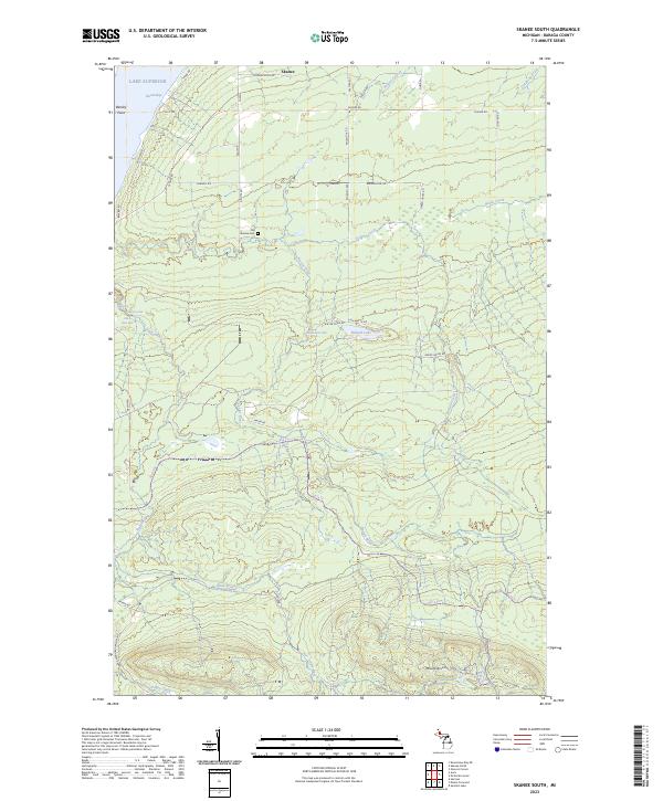
1985 Skanee South
Baraga County, MI
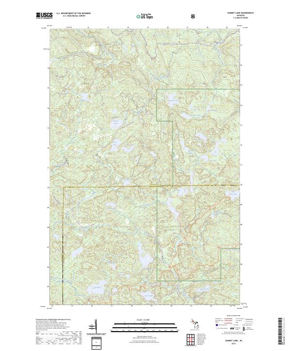
1985 Summit Lake
Baraga County, MI
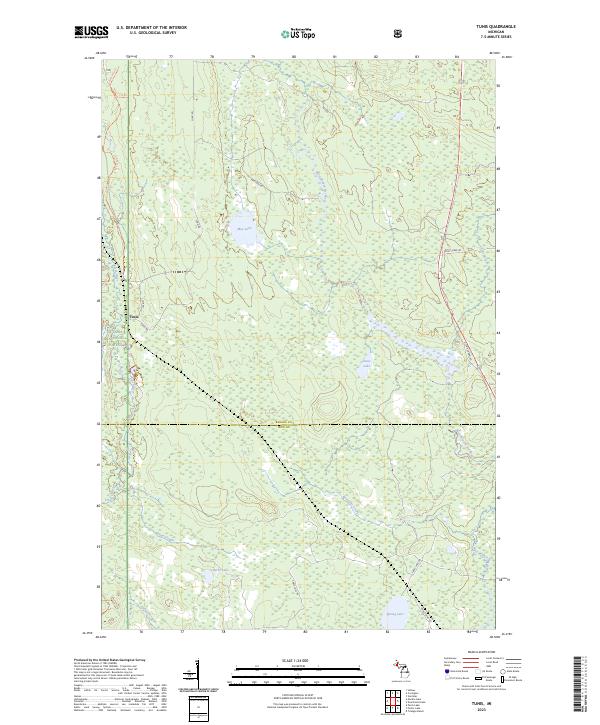
1985 Tunis
Baraga County, MI
1985 Vermilac
Baraga County, MI
1999 Summit Lake
Baraga County, MI
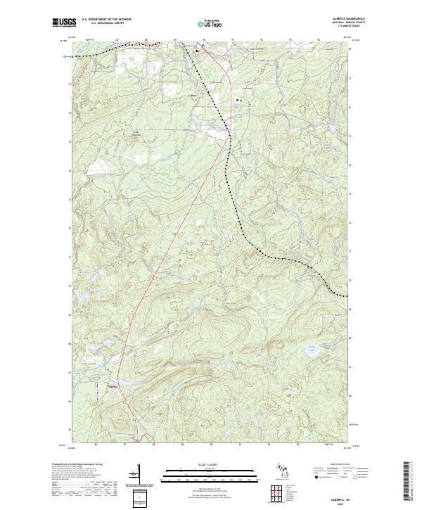
2023 Alberta
Baraga County, MI
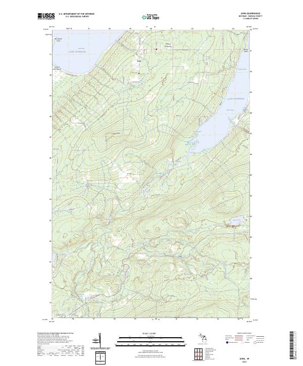
2023 Aura
Baraga County, MI
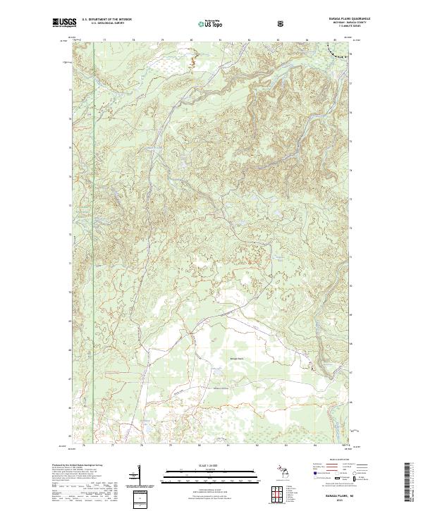
2023 Baraga Plains
Baraga County, MI
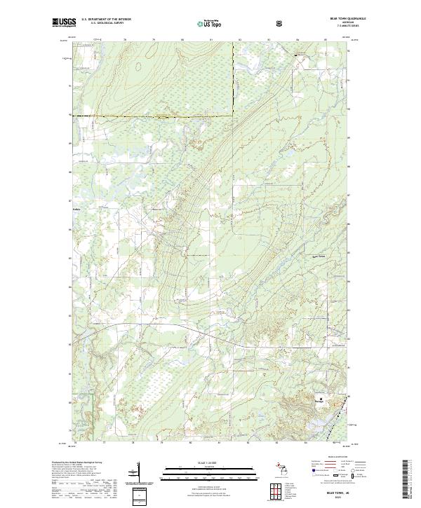
2023 Bear Town
Baraga County, MI
2023 Drummond Lake
Baraga County, MI
2023 Glovers Corner
Baraga County, MI
2023 Herman
Baraga County, MI
2023 Keweenaw Bay NE
Baraga County, MI
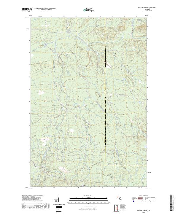
2023 McComb Corner
Baraga County, MI
2023 Mount Curwood
Baraga County, MI
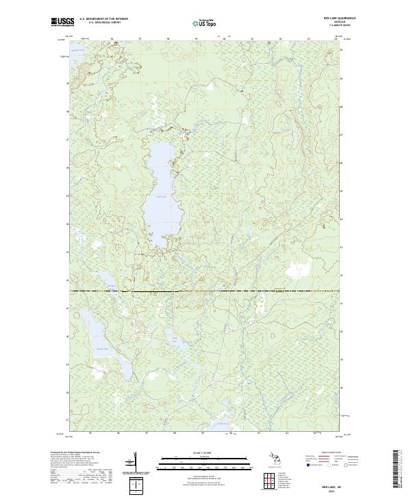
2023 Ned Lake
Baraga County, MI
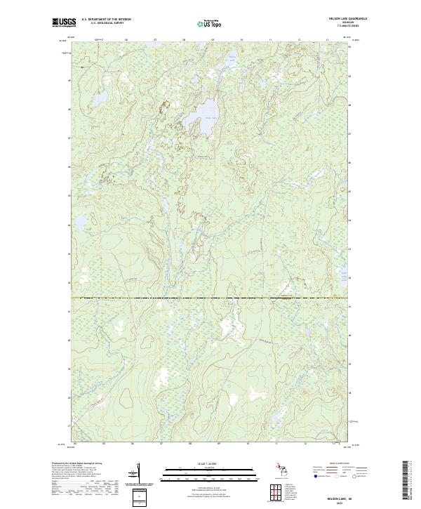
2023 Nelson Lake
Baraga County, MI
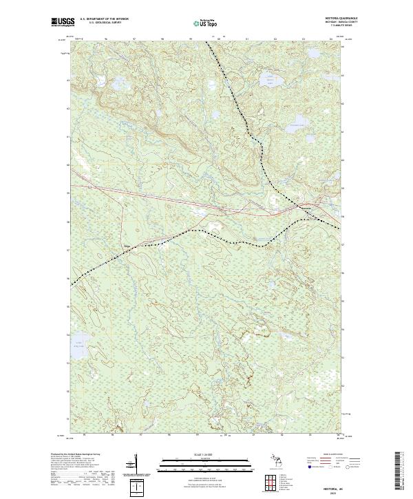
2023 Nestoria
Baraga County, MI
2023 Skanee North
Baraga County, MI
2023 Skanee South
Baraga County, MI
2023 Summit Lake
Baraga County, MI
2023 Tunis
Baraga County, MI
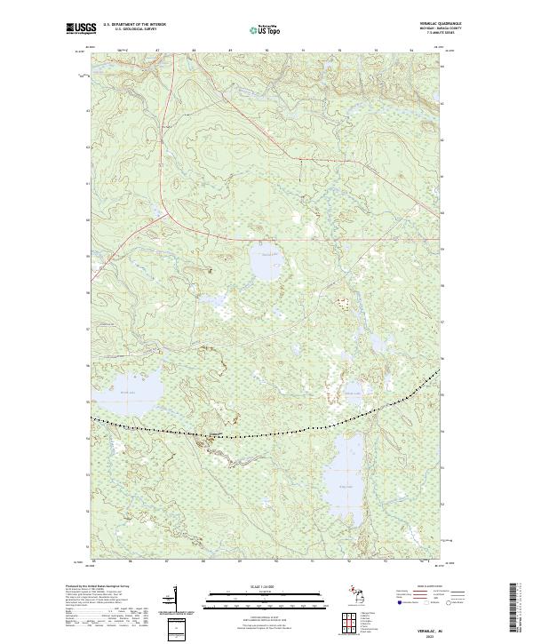
2023 Vermilac
Baraga County, MI