2023 Map of Mount Curwood
USGS Topo · Published 2023About this map
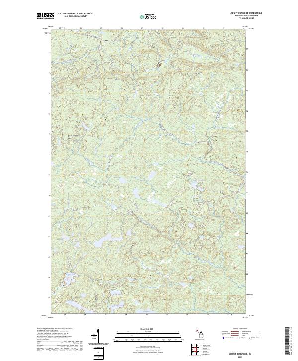
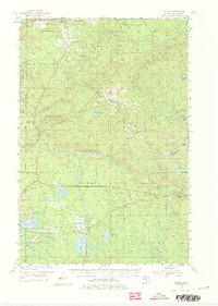
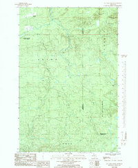
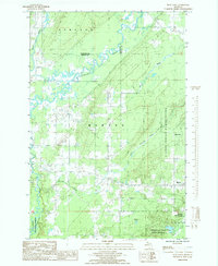
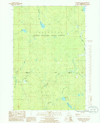
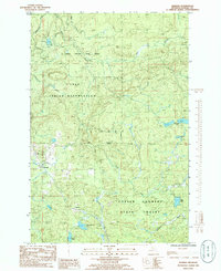
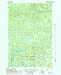
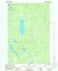
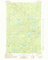
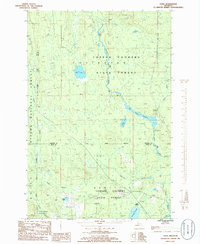
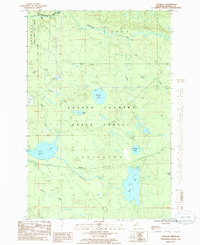
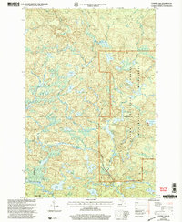
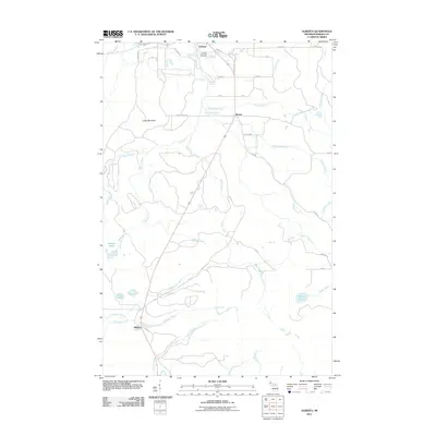
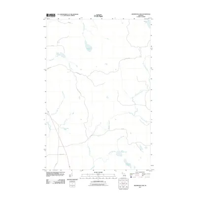
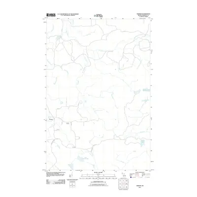
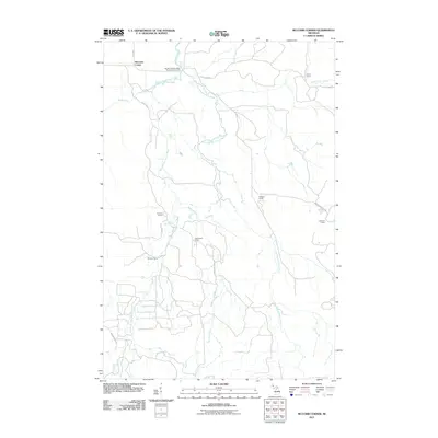
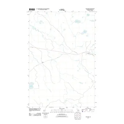
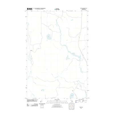
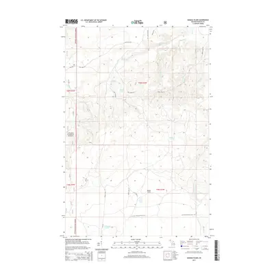
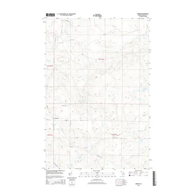
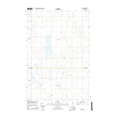
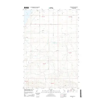
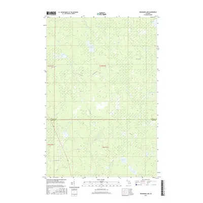
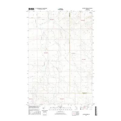
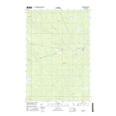
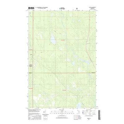
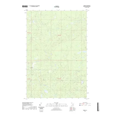
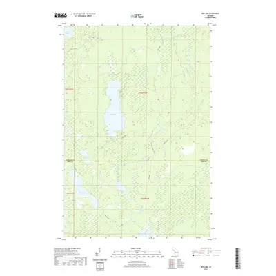
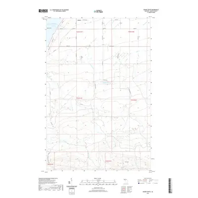
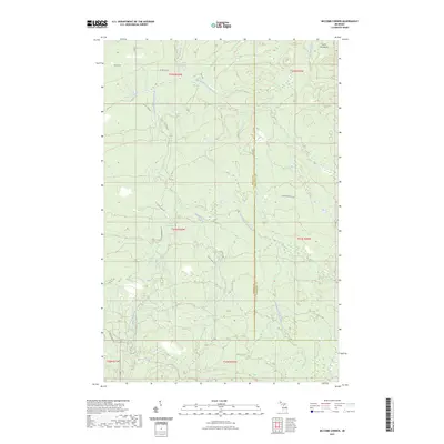
Mount Curwood rises as the central landmark in this portion of the Michigamme Highlands, overseeing a complex network of waterways and historical transport routes. The landscape is defined by the headwaters of the Peshekee River and its West Branch Peshekee River, which flow south toward Lake Michigamme. These river valleys are traced by the Huron Bay-Peshekee Grade, a significant historical corridor once intended for rail to connect the iron ranges to Lake Superior. The map reveals a high concentration of small interior lakes, including Diana Lake, Camp Ten Lake, and Wagner Lake, interspersed with modern forestry access routes like Celotex Rd. This area of Baraga County remains a testament to the intersection of industrial logging history and the natural hydrology of the Upper Peninsula.
Find a feature on this map
21 named features on this map. Tap any name to fly to it.
Don’t see what you’re looking for? This feature index may not catch every label — zoom into the map to look around manually.
Map Details
Editions of this 2023 Mount Curwood Map
This is the sole edition of this map. No revisions or reprints were ever made.
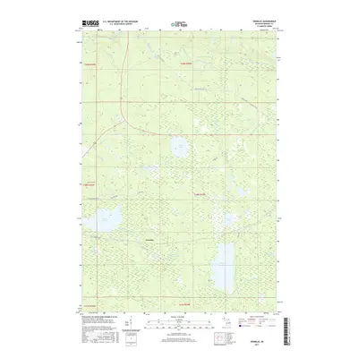
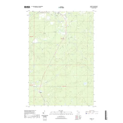
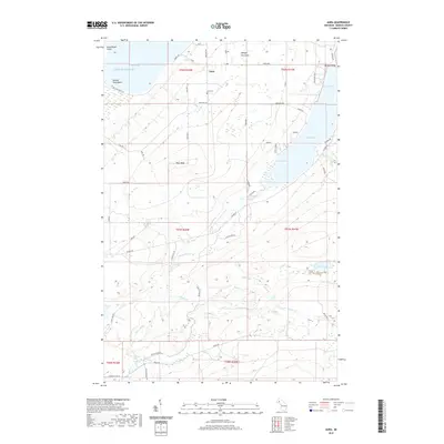
Historical Maps of L'Anse Township Through Time
113 maps found
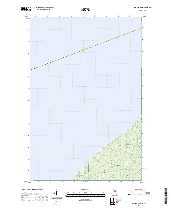
1954 Keweenaw Bay
Baraga County, MI
1954 Sidnaw
Baraga County, MI
1955 Champion
Baraga County, MI
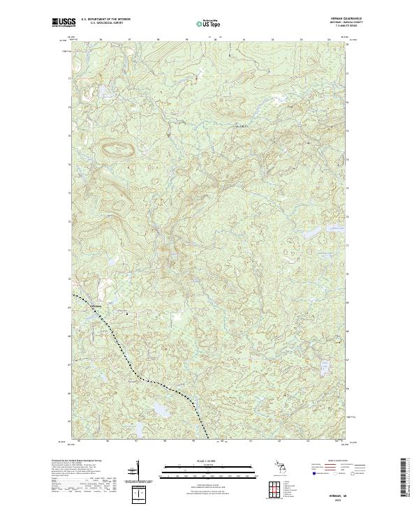
1955 Herman
Baraga County, MI
1984 Aura
Baraga County, MI
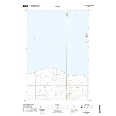
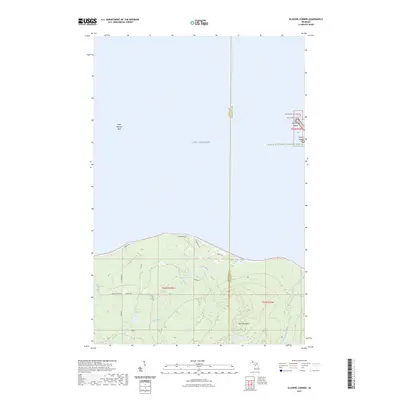
1984 Glovers Corner
Baraga County, MI
1984 Keweenaw Bay NE
Baraga County, MI
1984 McComb Corner
Baraga County, MI
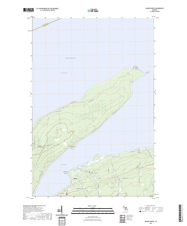
1984 Skanee North
Baraga County, MI
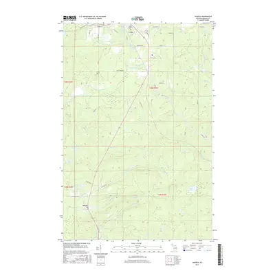
1985 Alberta
Baraga County, MI
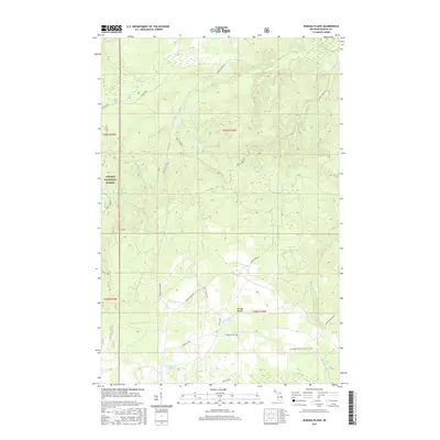
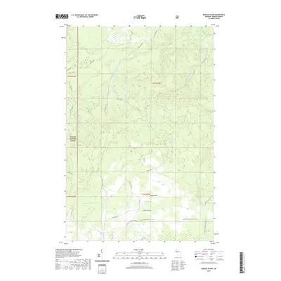
1985 Baraga Plains
Baraga County, MI
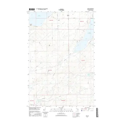
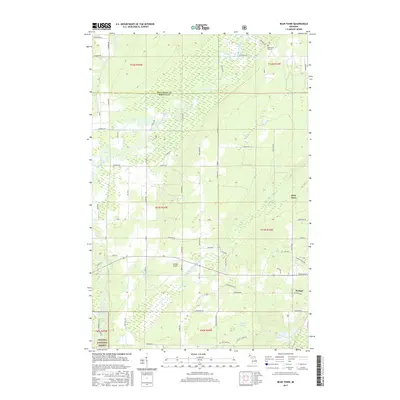
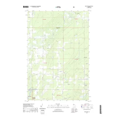
1985 Bear Town
Baraga County, MI
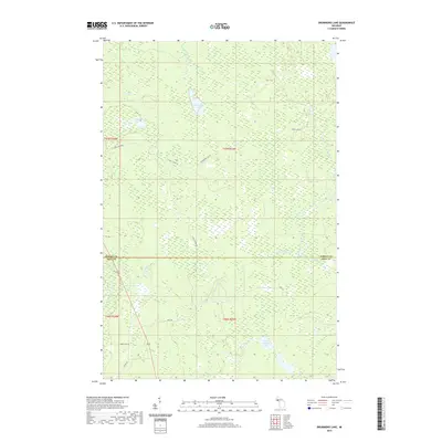
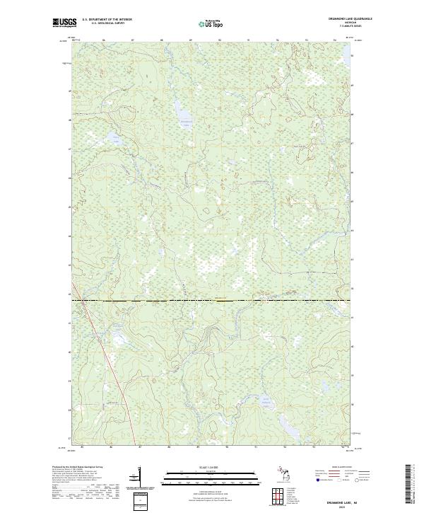
1985 Drummond Lake
Baraga County, MI
1985 Herman
Baraga County, MI
1985 Mount Curwood
Baraga County, MI
1985 Ned Lake
Baraga County, MI
1985 Nelson Lake
Baraga County, MI
1985 Nestoria
Baraga County, MI
1985 Skanee South
Baraga County, MI
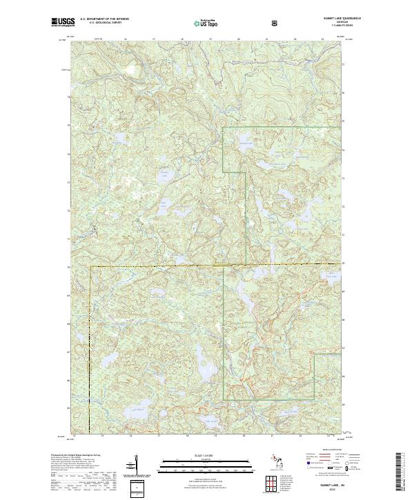
1985 Summit Lake
Baraga County, MI
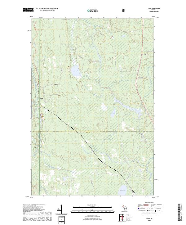
1985 Tunis
Baraga County, MI
1985 Vermilac
Baraga County, MI
1999 Summit Lake
Baraga County, MI
2011 Alberta
Baraga County, MI
2011 Aura
Baraga County, MI
2011 Baraga Plains
Baraga County, MI
2011 Bear Town
Baraga County, MI
2011 Drummond Lake
Baraga County, MI
2011 Glovers Corner
Baraga County, MI
2011 Herman
Baraga County, MI
2011 Keweenaw Bay NE
Baraga County, MI
2011 McComb Corner
Baraga County, MI
2011 Mount Curwood
Baraga County, MI
2011 Ned Lake
Baraga County, MI
2011 Nelson Lake
Baraga County, MI
2011 Nestoria
Baraga County, MI
2011 Skanee North
Baraga County, MI
2011 Skanee South
Baraga County, MI
2011 Summit Lake
Baraga County, MI
2011 Tunis
Baraga County, MI
2011 Vermilac
Baraga County, MI
2014 Alberta
Baraga County, MI
2014 Aura
Baraga County, MI
2014 Baraga Plains
Baraga County, MI
2014 Bear Town
Baraga County, MI
2014 Drummond Lake
Baraga County, MI
2014 Glovers Corner
Baraga County, MI
2014 Herman
Baraga County, MI
2014 Keweenaw Bay NE
Baraga County, MI
2014 McComb Corner
Baraga County, MI
2014 Mount Curwood
Baraga County, MI
2014 Ned Lake
Baraga County, MI
2014 Nelson Lake
Baraga County, MI
2014 Nestoria
Baraga County, MI
2014 Skanee North
Baraga County, MI
2014 Skanee South
Baraga County, MI
2014 Summit Lake
Baraga County, MI
2014 Tunis
Baraga County, MI
2014 Vermilac
Baraga County, MI
2017 Alberta
Baraga County, MI
2017 Aura
Baraga County, MI
2017 Baraga Plains
Baraga County, MI
2017 Bear Town
Baraga County, MI
2017 Drummond Lake
Baraga County, MI
2017 Glovers Corner
Baraga County, MI
2017 Herman
Baraga County, MI
2017 Keweenaw Bay NE
Baraga County, MI
2017 McComb Corner
Baraga County, MI
2017 Mount Curwood
Baraga County, MI
2017 Ned Lake
Baraga County, MI
2017 Nelson Lake
Baraga County, MI
2017 Nestoria
Baraga County, MI
2017 Skanee North
Baraga County, MI
2017 Skanee South
Baraga County, MI
2017 Summit Lake
Baraga County, MI
2017 Tunis
Baraga County, MI
2017 Vermilac
Baraga County, MI
2019 Alberta
Baraga County, MI
2019 Aura
Baraga County, MI
2019 Baraga Plains
Baraga County, MI
2019 Bear Town
Baraga County, MI
2019 Drummond Lake
Baraga County, MI
2019 Glovers Corner
Baraga County, MI
2019 Herman
Baraga County, MI
2019 Keweenaw Bay NE
Baraga County, MI
2019 McComb Corner
Baraga County, MI
2019 Mount Curwood
Baraga County, MI
2019 Ned Lake
Baraga County, MI
2019 Nelson Lake
Baraga County, MI
2019 Nestoria
Baraga County, MI
2019 Skanee North
Baraga County, MI
2019 Skanee South
Baraga County, MI
2019 Summit Lake
Baraga County, MI
2019 Tunis
Baraga County, MI
2019 Vermilac
Baraga County, MI
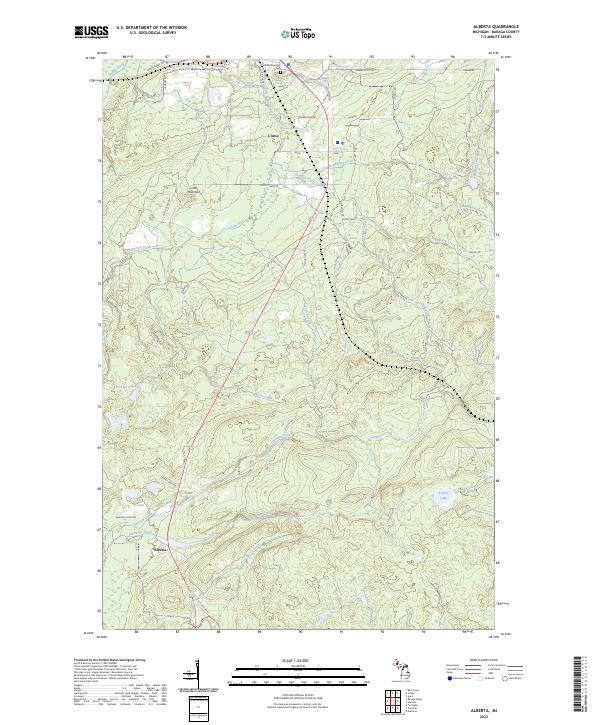
2023 Alberta
Baraga County, MI
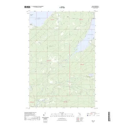
2023 Aura
Baraga County, MI
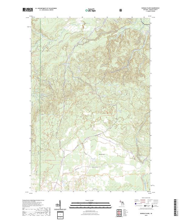
2023 Baraga Plains
Baraga County, MI
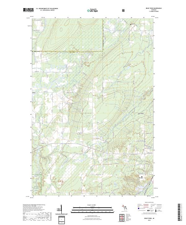
2023 Bear Town
Baraga County, MI
2023 Drummond Lake
Baraga County, MI
2023 Glovers Corner
Baraga County, MI
2023 Herman
Baraga County, MI
2023 Keweenaw Bay NE
Baraga County, MI
2023 McComb Corner
Baraga County, MI
2023 Mount Curwood
Baraga County, MI
2023 Ned Lake
Baraga County, MI
2023 Nelson Lake
Baraga County, MI
2023 Nestoria
Baraga County, MI
2023 Skanee North
Baraga County, MI
2023 Skanee South
Baraga County, MI
2023 Summit Lake
Baraga County, MI
2023 Tunis
Baraga County, MI
2023 Vermilac
Baraga County, MI