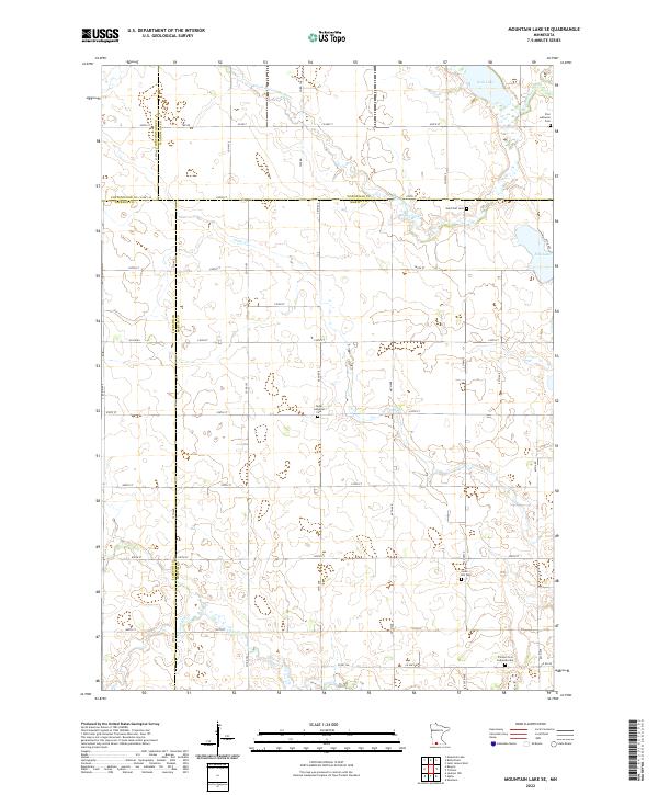
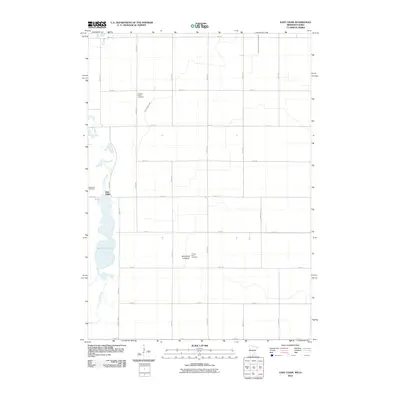
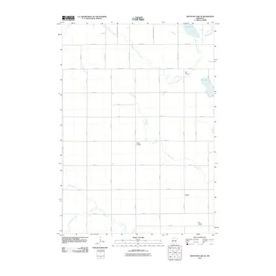
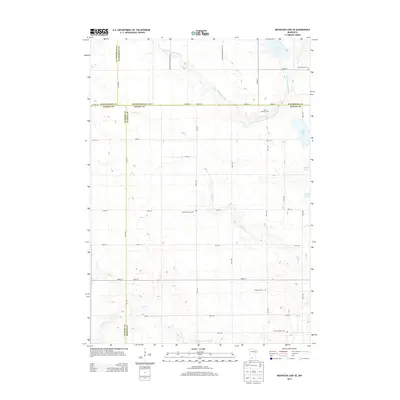
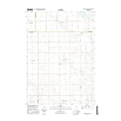
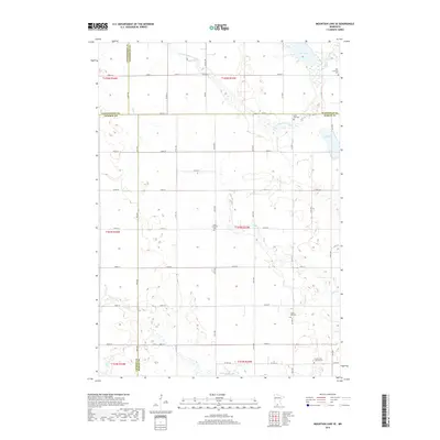
2022 Map of Mountain Lake SE
USGS Topo · Published 2022About this map
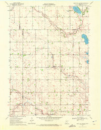
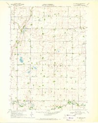
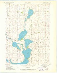
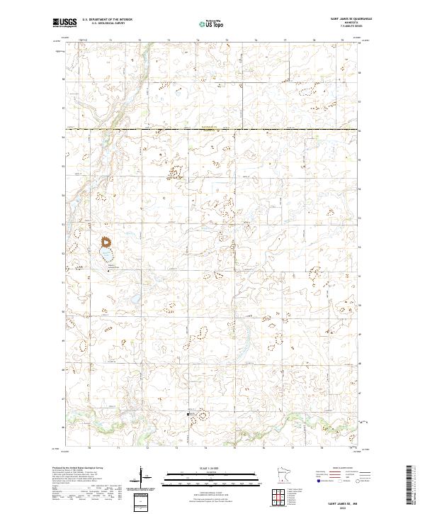
The intersections of Cottonwood, Watonwan, Jackson, and Martin counties form a rural landscape dominated by the winding paths of the S Fork Watonwan River and its various tributaries. This 2022 survey captures a strictly agricultural region defined by a precise section-line road network, including routes like Co HWY 7 and Co HWY 36. For local historians and genealogists, the map is punctuated by several longstanding community landmarks, most notably a series of rural cemeteries like Zion Lutheran Cem and Saint Olaf Cem. The hydrology of the area is distinct, featuring scattered prairie basins such as Irish Lake and Fish Lake. The presence of several distinct church-affiliated burial grounds, such as the Trimont First Lutheran Cem, indicates the enduring settlement patterns and cultural heritage of this southern Minnesota prairie region.
Find a feature on this map
44 named features on this map. Tap any name to fly to it.
Don’t see what you’re looking for? This feature index may not catch every label — zoom into the map to look around manually.
Map Details
Editions of this 2022 Mountain Lake SE Map
This is the sole edition of this map. No revisions or reprints were ever made.
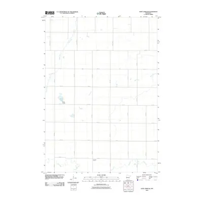
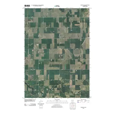
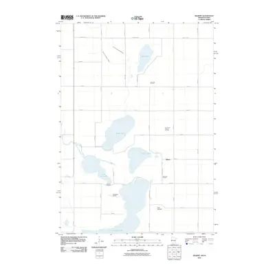
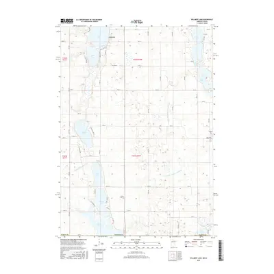
Historical Maps of Martin County Through Time
36 maps found
1967 East Chain
Martin County, MN
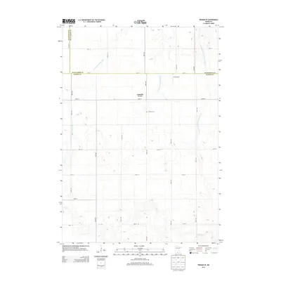
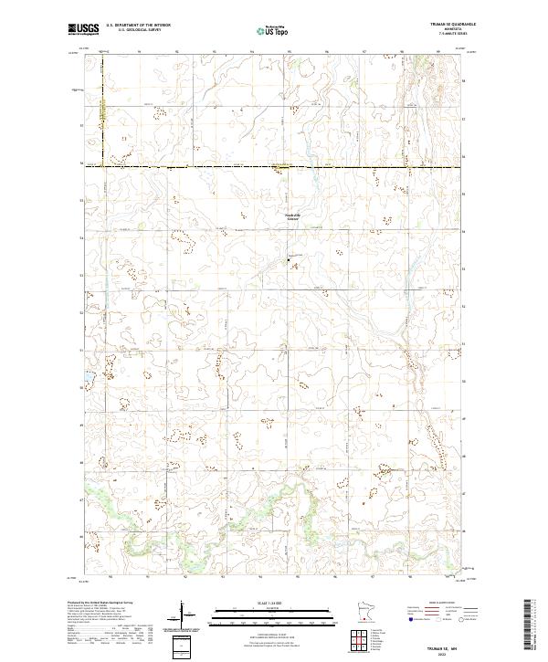
1967 Truman SE
Martin County, MN
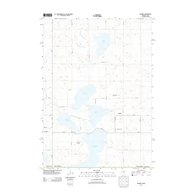
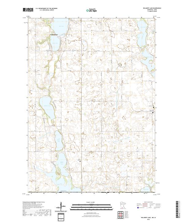
1967 Wilmert Lake
Martin County, MN
1970 Mountain Lake SE
Martin County, MN
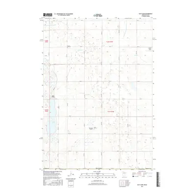
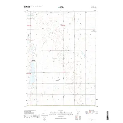
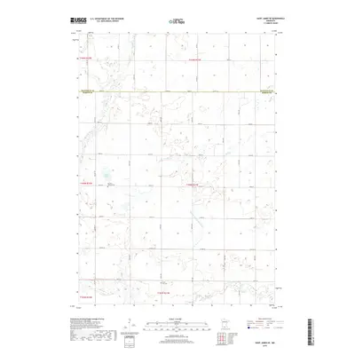
1970 St James SE
Martin County, MN
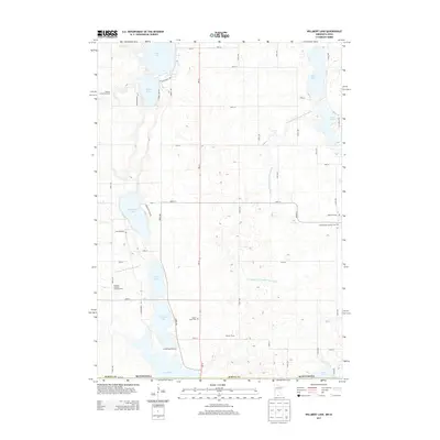
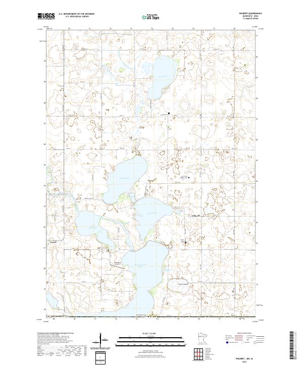
1970 Wilbert
Martin County, MN
2010 East Chain
Martin County, MN
2010 Mountain Lake SE
Martin County, MN
2010 Saint James SE
Martin County, MN
2010 Truman SE
Martin County, MN
2010 Wilbert
Martin County, MN
2010 Willmert Lake
Martin County, MN
2013 East Chain
Martin County, MN
2013 Mountain Lake SE
Martin County, MN
2013 Saint James SE
Martin County, MN
2013 Truman SE
Martin County, MN
2013 Wilbert
Martin County, MN
2013 Willmert Lake
Martin County, MN
2016 East Chain
Martin County, MN
2016 Mountain Lake SE
Martin County, MN
2016 Saint James SE
Martin County, MN
2016 Truman SE
Martin County, MN
2016 Wilbert
Martin County, MN
2016 Willmert Lake
Martin County, MN
2019 East Chain
Martin County, MN
2019 Mountain Lake SE
Martin County, MN
2019 Saint James SE
Martin County, MN
2019 Truman SE
Martin County, MN
2019 Wilbert
Martin County, MN
2019 Willmert Lake
Martin County, MN
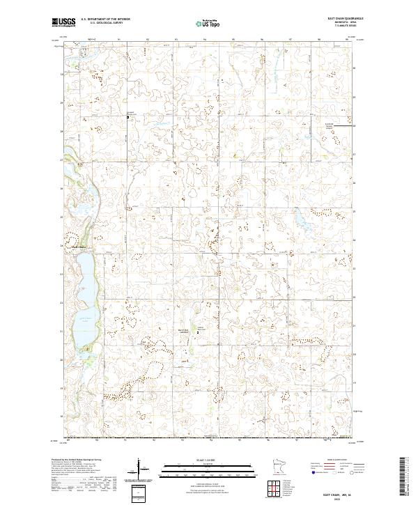
2022 East Chain
Martin County, MN
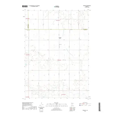
2022 Mountain Lake SE
Martin County, MN
2022 Saint James SE
Martin County, MN
2022 Truman SE
Martin County, MN
2022 Wilbert
Martin County, MN
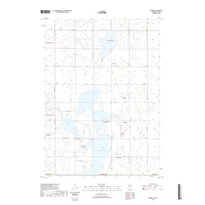
2022 Willmert Lake
Martin County, MN