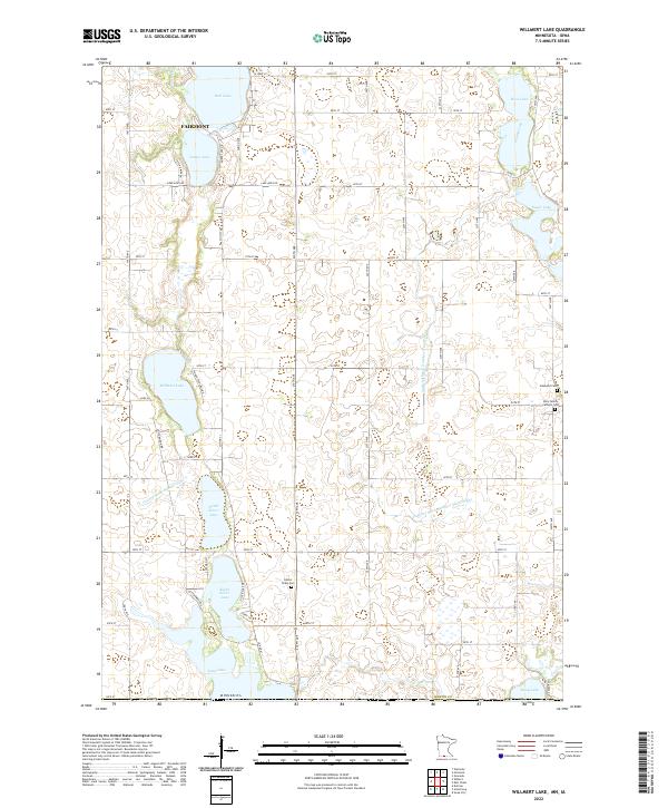
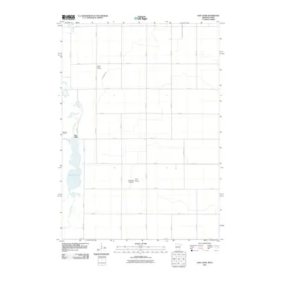
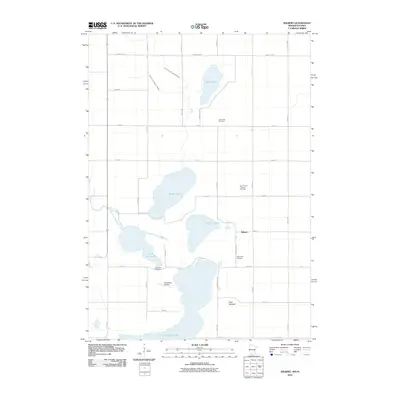
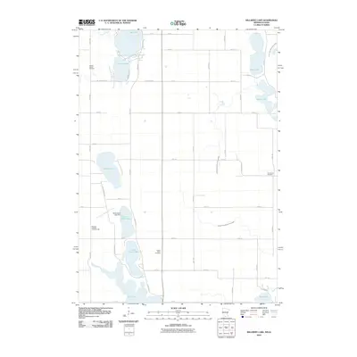
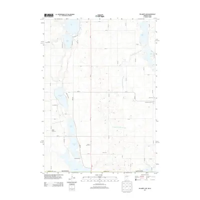
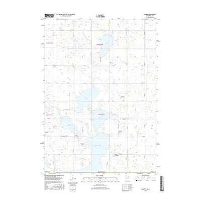
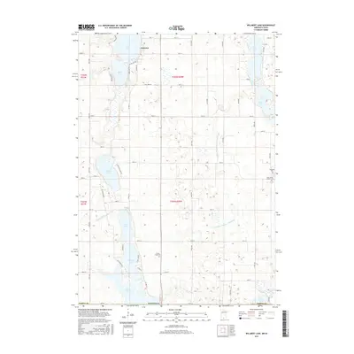
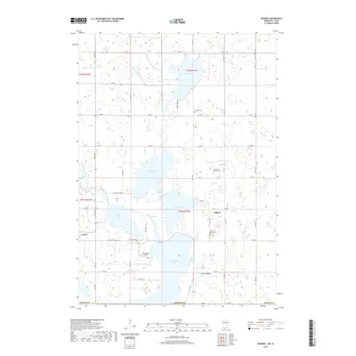
2022 Map of Willmert Lake
USGS Topo · Published 2022About this map
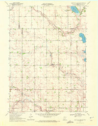
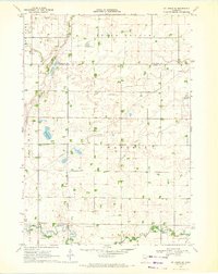
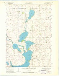
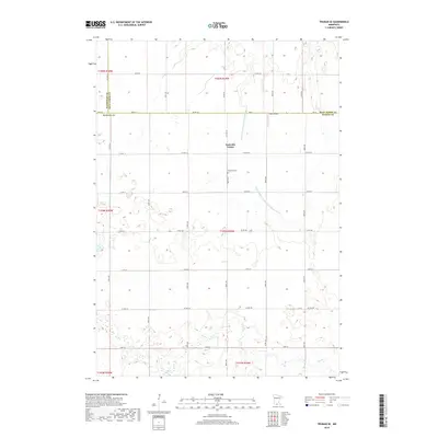
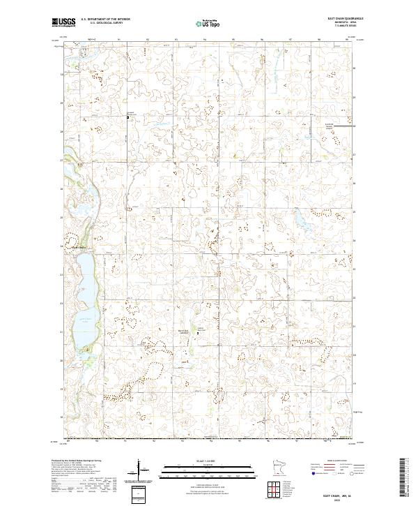
Fairmont anchors the northern reaches of this Martin County landscape, where a dense network of glacial lakes and managed waterways dominates the terrain. The map reveals an intricate hydrographic system defined by prominent bodies of water like Hall Lake, Amber Lake, and the connected basins of North Silver Lake and South Silver Lake. To the south, the state line is marked by Iowa Lake, while the eastern portion features Rose Lake and Sager Lake. The agricultural character of the region is underscored by an extensive drainage network, including Judicial Ditch Number Ninetyeight and County Ditch Number Nine. Genealogists will find interest in several rural burial sites, such as the Center Chain Cem and the Holy Family Catholic Cem, which sit alongside a grid of township roads and county routes that have organized the prairie since early settlement.
Find a feature on this map
60 named features on this map. Tap any name to fly to it.
Don’t see what you’re looking for? This feature index may not catch every label — zoom into the map to look around manually.
Map Details
Editions of this 2022 Willmert Lake Map
This is the sole edition of this map. No revisions or reprints were ever made.
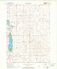
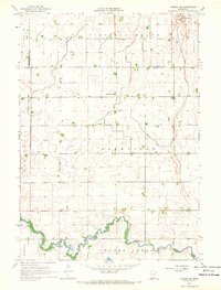
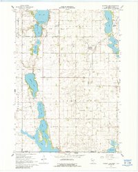
Historical Maps of Fairmont Through Time
36 maps found
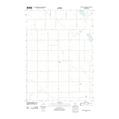
1967 East Chain
Martin County, MN
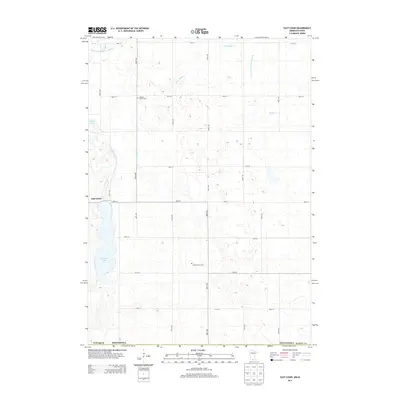
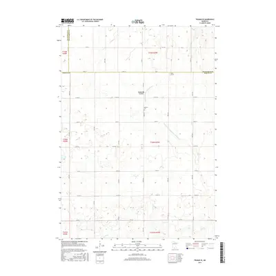
1967 Truman SE
Martin County, MN
1967 Wilmert Lake
Martin County, MN
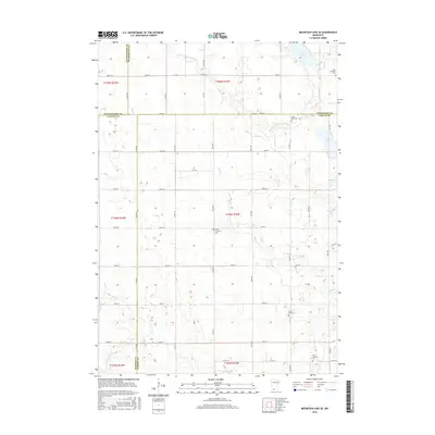
1970 Mountain Lake SE
Martin County, MN
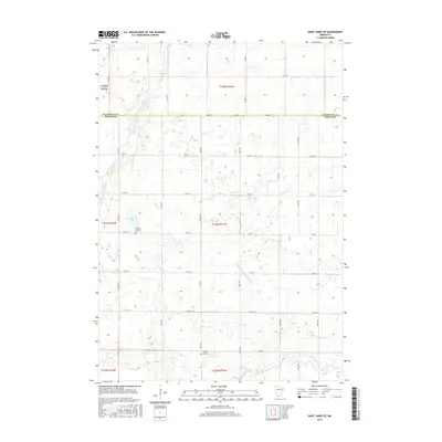
1970 St James SE
Martin County, MN
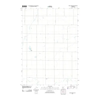
1970 Wilbert
Martin County, MN
2010 East Chain
Martin County, MN
2010 Mountain Lake SE
Martin County, MN
2010 Saint James SE
Martin County, MN
2010 Truman SE
Martin County, MN
2010 Wilbert
Martin County, MN
2010 Willmert Lake
Martin County, MN
2013 East Chain
Martin County, MN
2013 Mountain Lake SE
Martin County, MN
2013 Saint James SE
Martin County, MN
2013 Truman SE
Martin County, MN
2013 Wilbert
Martin County, MN
2013 Willmert Lake
Martin County, MN
2016 East Chain
Martin County, MN
2016 Mountain Lake SE
Martin County, MN
2016 Saint James SE
Martin County, MN
2016 Truman SE
Martin County, MN
2016 Wilbert
Martin County, MN
2016 Willmert Lake
Martin County, MN
2019 East Chain
Martin County, MN
2019 Mountain Lake SE
Martin County, MN
2019 Saint James SE
Martin County, MN
2019 Truman SE
Martin County, MN
2019 Wilbert
Martin County, MN
2019 Willmert Lake
Martin County, MN
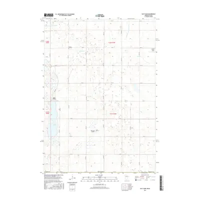
2022 East Chain
Martin County, MN
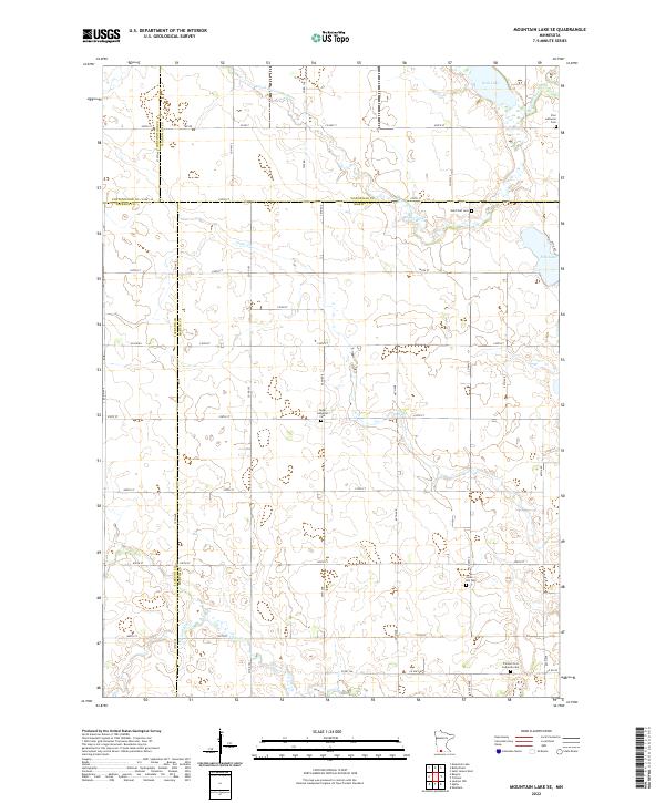
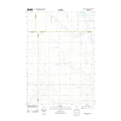
2022 Mountain Lake SE
Martin County, MN
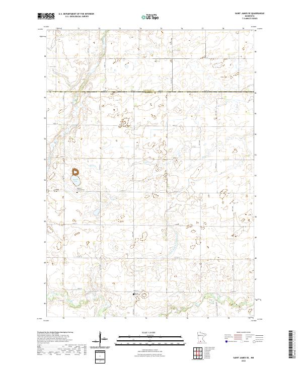
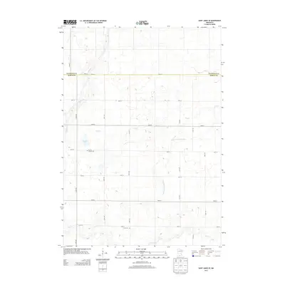
2022 Saint James SE
Martin County, MN
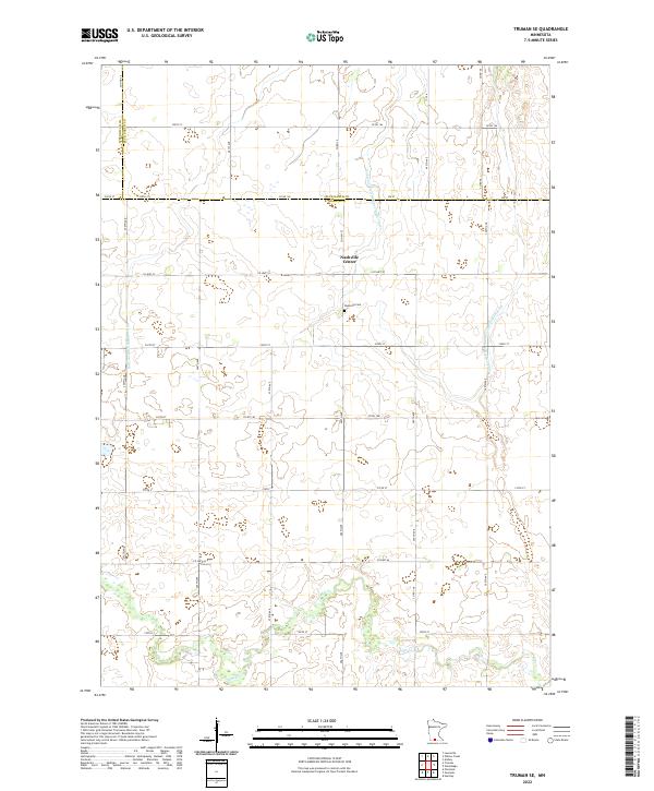
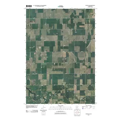
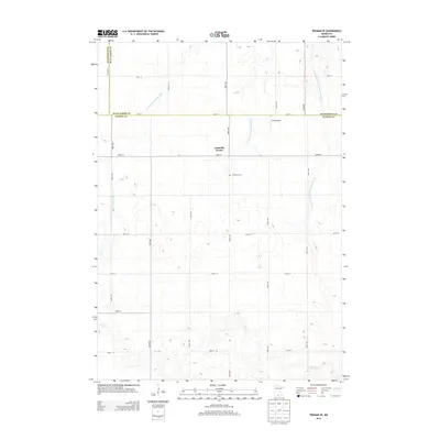
2022 Truman SE
Martin County, MN
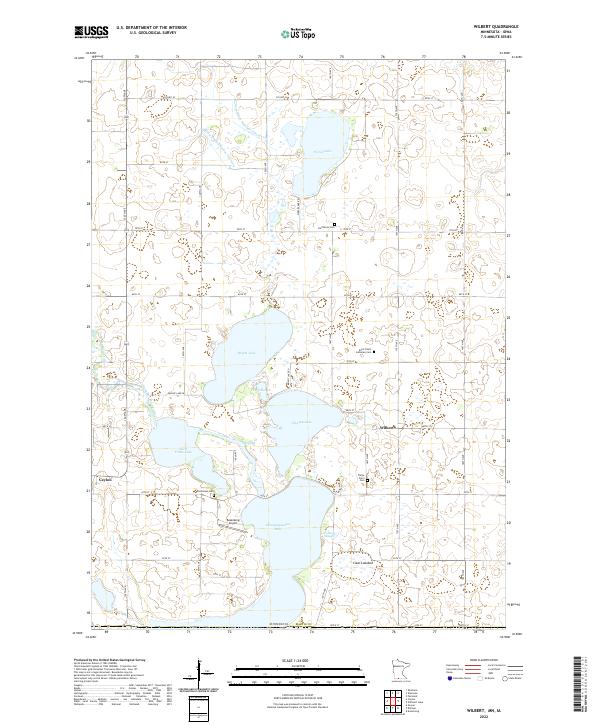
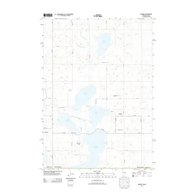
2022 Wilbert
Martin County, MN
2022 Willmert Lake
Martin County, MN