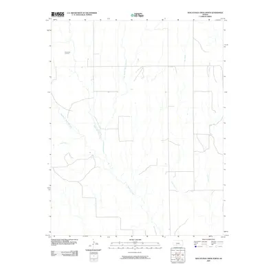
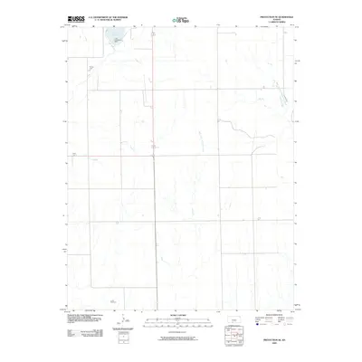
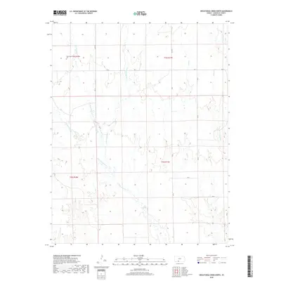
2022 Map of Nescatunga Creek North
USGS Topo · Published 2022About this map
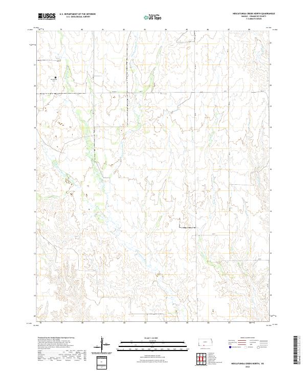
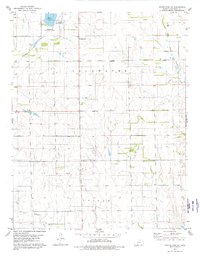
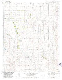
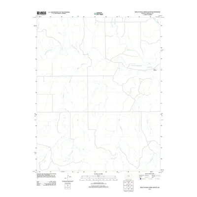
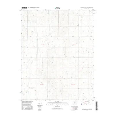
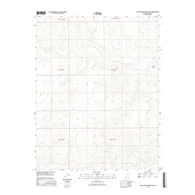
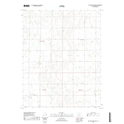
The Nescatunga Cem stands as a solitary historic marker in this section of Comanche County, located near the headwaters of Nescatunga Cr. This landscape is defined by the branching drainage systems of the Red Hills region, where the W Br Nescatunga Cr and E Br Nescatunga Cr converge amidst a network of canyon-like breaks. The terrain is deeply incised by seasonal waterways including Wildcat Cr and Cave Cr, revealing a rural landscape primarily organized by section lines and local ranch roads such as CM RD 19 and Ave L. The distribution of these labels suggests a sparsely populated area where cattle ranching and land management are the primary drivers of human presence. The intricate contouring around Sand Cr and Indian Cr illustrates the erosional patterns characteristic of the Gypsum Hills, providing a clear view of the natural geography before it levels out toward the plains.
Find a feature on this map
22 named features on this map. Tap any name to fly to it.
Don’t see what you’re looking for? This feature index may not catch every label — zoom into the map to look around manually.
Map Details
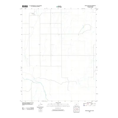
Editions of this 2022 Nescatunga Creek North Map
This is the sole edition of this map. No revisions or reprints were ever made.
Historical Maps of Comanche County Through Time
54 maps found
1968 Wilmore SE
Comanche County, KS
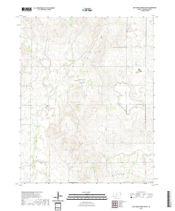
1979 East Kiowa Creek South
Comanche County, KS
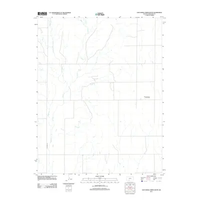
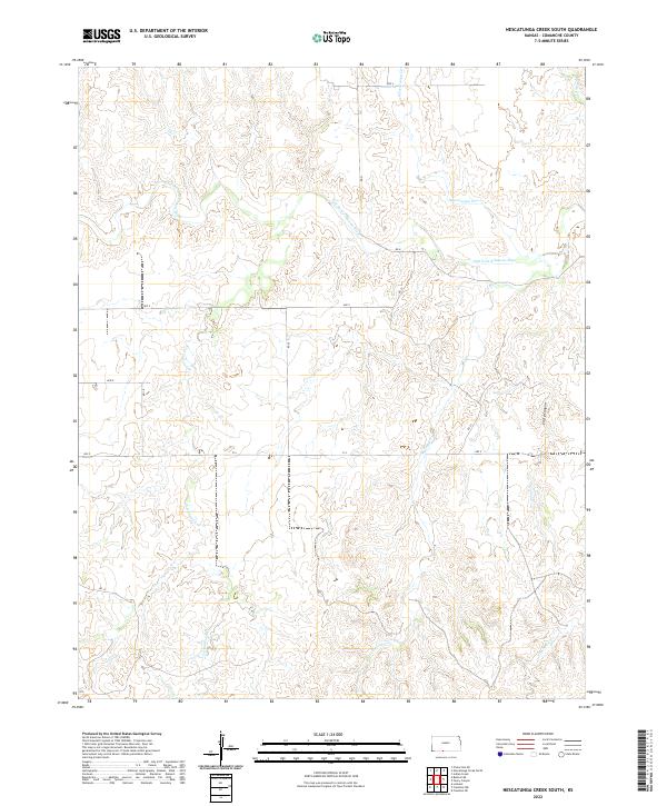
1979 Nescatunga Creek South
Comanche County, KS
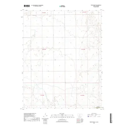
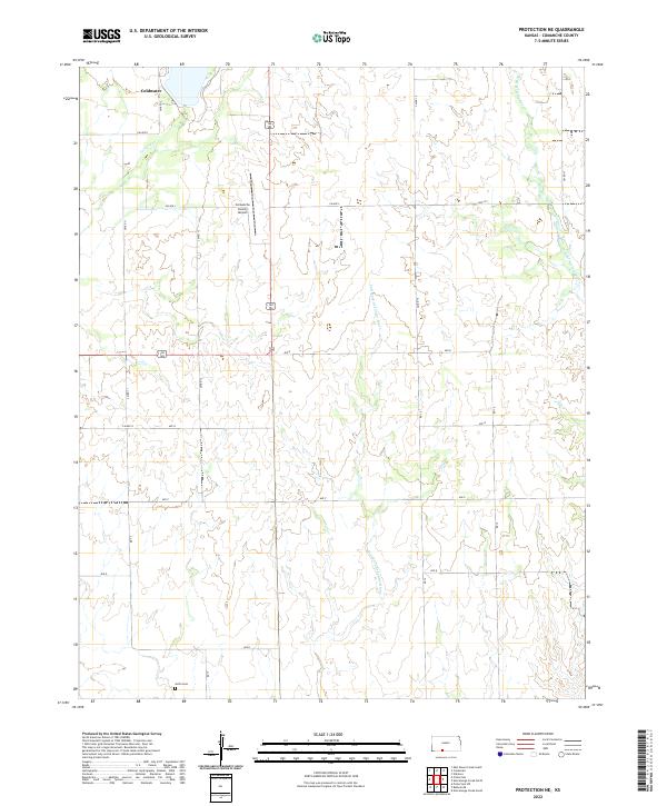
1979 Protection NE
Comanche County, KS
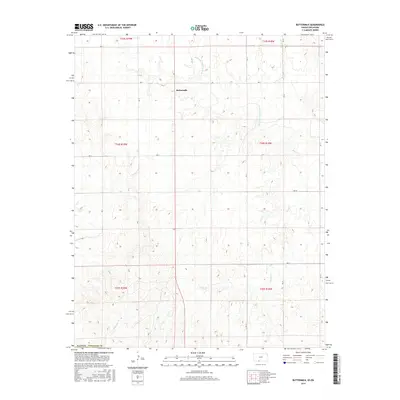
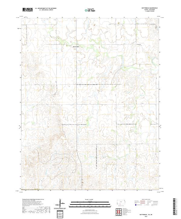
1980 Buttermilk
Comanche County, KS
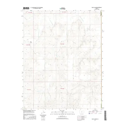
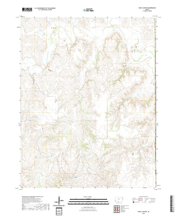
1980 Fancy Canyon
Comanche County, KS
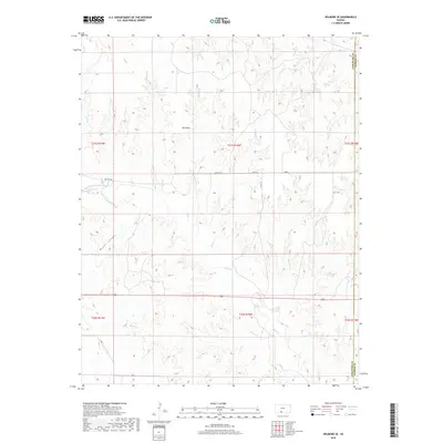
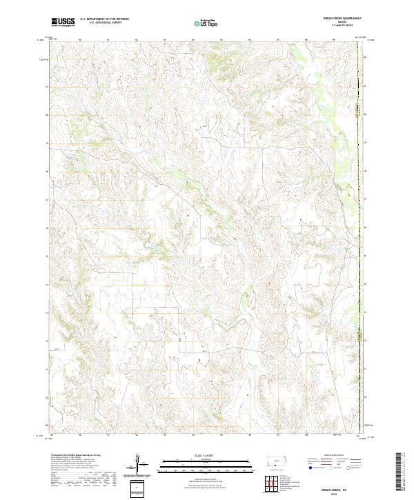
1980 Indian Creek
Comanche County, KS
1980 Nescatunga Creek North
Comanche County, KS
1980 Protection SW
Comanche County, KS
2009 Buttermilk
Comanche County, KS
2009 East Kiowa Creek South
Comanche County, KS
2009 Fancy Canyon
Comanche County, KS
2009 Indian Creek
Comanche County, KS
2009 Nescatunga Creek North
Comanche County, KS
2009 Nescatunga Creek South
Comanche County, KS
2009 Protection NE
Comanche County, KS
2009 Protection SW
Comanche County, KS
2009 Wilmore SE
Comanche County, KS
2012 Buttermilk
Comanche County, KS
2012 East Kiowa Creek South
Comanche County, KS
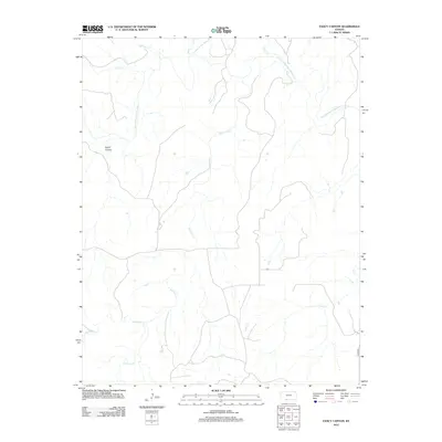
2012 Fancy Canyon
Comanche County, KS
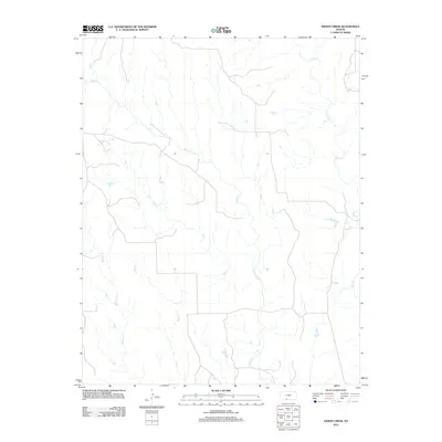
2012 Indian Creek
Comanche County, KS
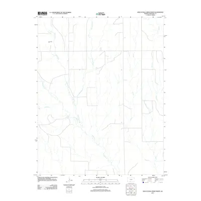
2012 Nescatunga Creek North
Comanche County, KS
2012 Nescatunga Creek South
Comanche County, KS
2012 Protection NE
Comanche County, KS
2012 Protection SW
Comanche County, KS
2012 Wilmore SE
Comanche County, KS
2015 Buttermilk
Comanche County, KS
2015 East Kiowa Creek South
Comanche County, KS
2015 Fancy Canyon
Comanche County, KS
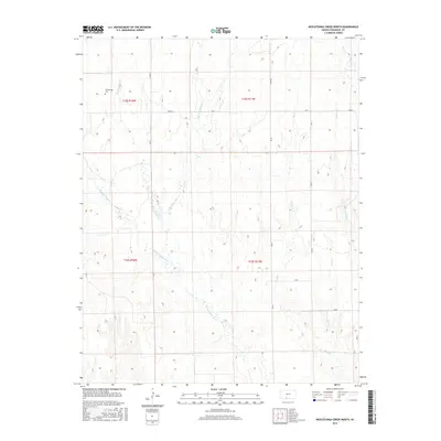
2015 Nescatunga Creek North
Comanche County, KS
2015 Nescatunga Creek South
Comanche County, KS
2015 Protection NE
Comanche County, KS
2016 Indian Creek
Comanche County, KS
2016 Protection SW
Comanche County, KS
2016 Wilmore SE
Comanche County, KS
2018 Buttermilk
Comanche County, KS
2018 East Kiowa Creek South
Comanche County, KS
2018 Fancy Canyon
Comanche County, KS
2018 Indian Creek
Comanche County, KS
2018 Nescatunga Creek North
Comanche County, KS
2018 Nescatunga Creek South
Comanche County, KS
2018 Protection NE
Comanche County, KS
2018 Protection SW
Comanche County, KS
2018 Wilmore SE
Comanche County, KS
2022 Buttermilk
Comanche County, KS
2022 East Kiowa Creek South
Comanche County, KS
2022 Fancy Canyon
Comanche County, KS
2022 Indian Creek
Comanche County, KS
2022 Nescatunga Creek North
Comanche County, KS
2022 Nescatunga Creek South
Comanche County, KS
2022 Protection NE
Comanche County, KS
2022 Protection SW
Comanche County, KS
2022 Wilmore SE
Comanche County, KS