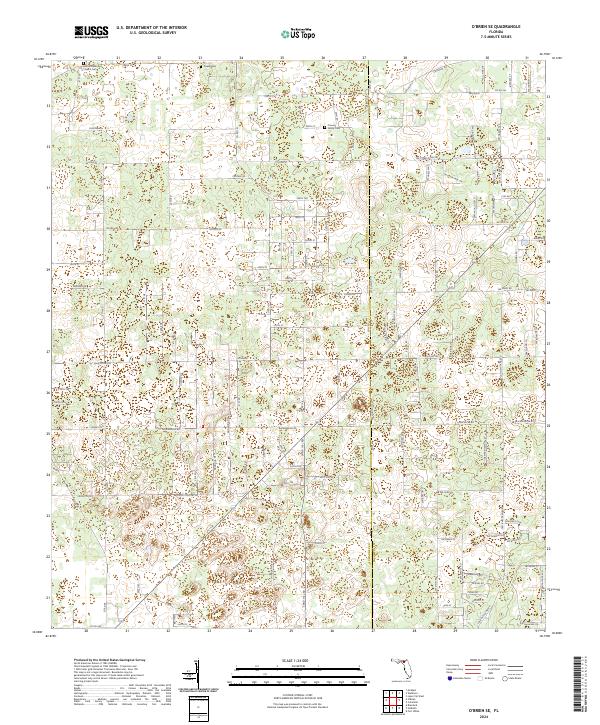
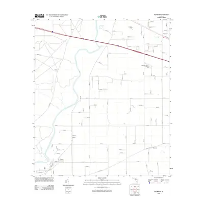
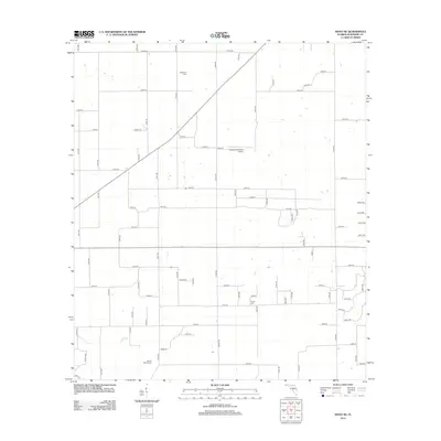
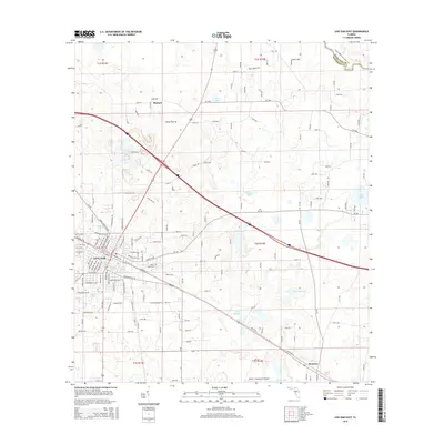
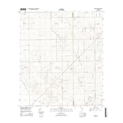
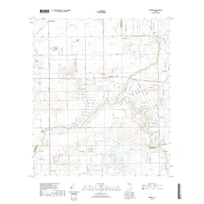
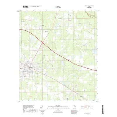
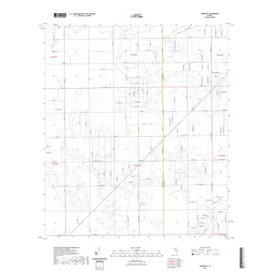
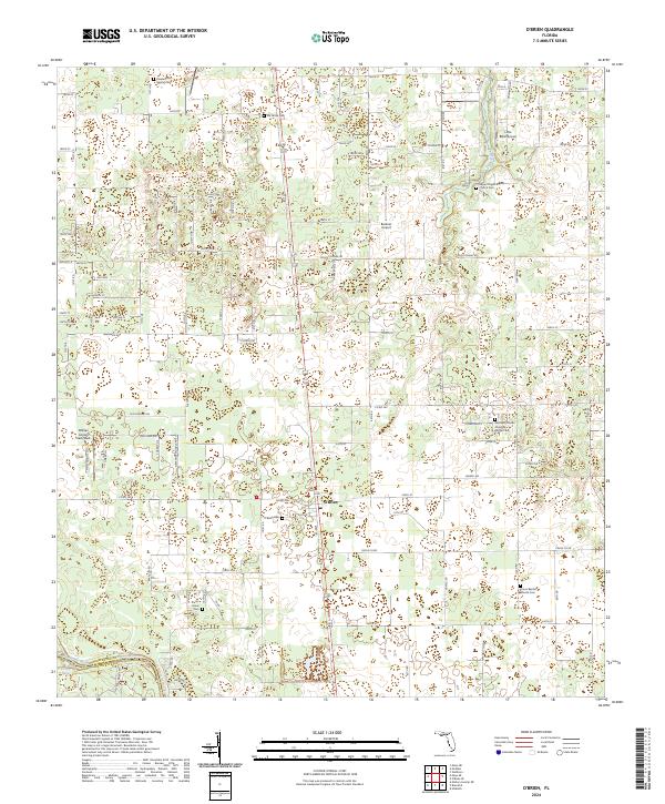
2024 Map of O'Brien SE
USGS Topo · Published 2024About this map
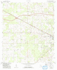
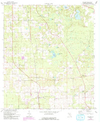
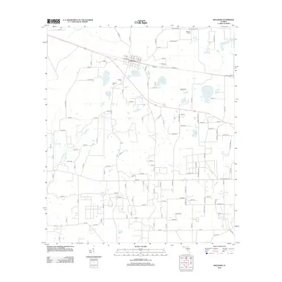
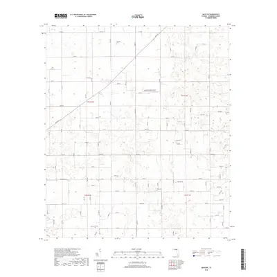
The Columbia Co and Suwannee Co border divides this interior Florida landscape, characterized by a dense network of local roads and family landmarks. The rural character of the region is anchored by several long-standing community sites, including the Leona Methodist Church located in the northwest corner. Genealogists will find the area particularly well-documented with small burial grounds such as the Crusaw Family Cem and Powell Cem positioned along the country roads. The map reveals a transition from the structured grid of the Public Land Survey System to more meandering paths like Appy Hill Rd, reflecting how the local terrain and property lines have shaped the movement of residents over generations. A smaller, unnamed Cem further emphasizes the deep-rooted family history of this quiet stretch of the Florida panhandle interior.
Find a feature on this map
119 named features on this map. Tap any name to fly to it.
Don’t see what you’re looking for? This feature index may not catch every label — zoom into the map to look around manually.
Map Details
Editions of this 2024 O'Brien SE Map
This is the sole edition of this map. No revisions or reprints were ever made.
Historical Maps of Columbia County Through Time
66 maps found
1954 Dowling Park
Suwannee County, FL
1955 Mayo NE
Suwannee County, FL
1959 Falmouth
Suwannee County, FL
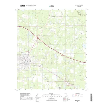
1959 Live Oak West
Suwannee County, FL
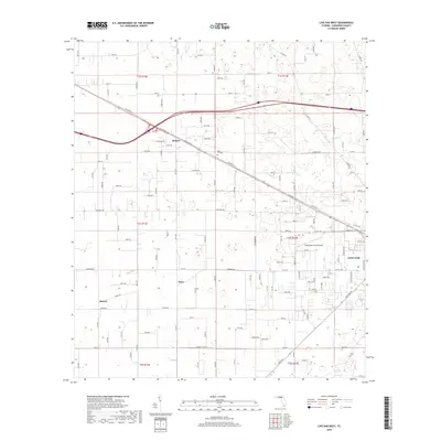
1961 Live Oak East
Suwannee County, FL
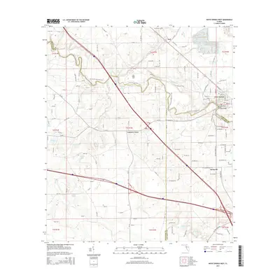
1961 White Springs West
Suwannee County, FL
1968 Hildreth
Suwannee County, FL
1969 McAlpin
Suwannee County, FL
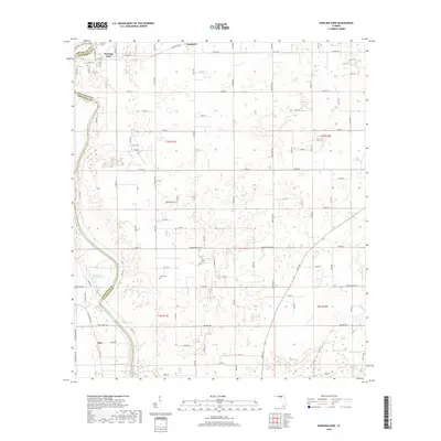
1969 O'Brien SE
Suwannee County, FL
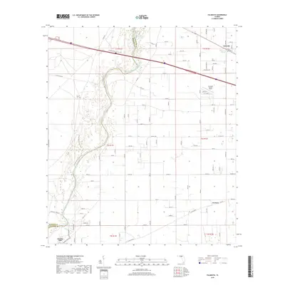
1969 O'Brien
Suwannee County, FL

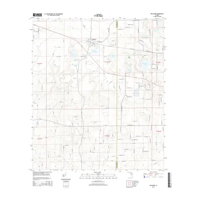
1969 Wellborn
Suwannee County, FL
2012 Dowling Park
Suwannee County, FL
2012 Falmouth
Suwannee County, FL
2012 Hildreth
Suwannee County, FL
2012 Live Oak East
Suwannee County, FL
2012 Live Oak West
Suwannee County, FL
2012 Mayo NE
Suwannee County, FL
2012 McAlpin
Suwannee County, FL
2012 O'Brien SE
Suwannee County, FL
2012 O'Brien
Suwannee County, FL
2012 Wellborn
Suwannee County, FL
2012 White Springs West
Suwannee County, FL
2015 Dowling Park
Suwannee County, FL
2015 Falmouth
Suwannee County, FL

2015 Hildreth
Suwannee County, FL
2015 Live Oak East
Suwannee County, FL
2015 Live Oak West
Suwannee County, FL
2015 Mayo NE
Suwannee County, FL
2015 McAlpin
Suwannee County, FL
2015 O'Brien SE
Suwannee County, FL

2015 O'Brien
Suwannee County, FL
2015 Wellborn
Suwannee County, FL
2015 White Springs West
Suwannee County, FL
2018 Dowling Park
Suwannee County, FL
2018 Falmouth
Suwannee County, FL
2018 Hildreth
Suwannee County, FL
2018 Live Oak East
Suwannee County, FL
2018 Live Oak West
Suwannee County, FL
2018 Mayo NE
Suwannee County, FL
2018 McAlpin
Suwannee County, FL
2018 O'Brien SE
Suwannee County, FL

2018 O'Brien
Suwannee County, FL
2018 Wellborn
Suwannee County, FL
2018 White Springs West
Suwannee County, FL
2021 Dowling Park
Suwannee County, FL
2021 Falmouth
Suwannee County, FL
2021 Hildreth
Suwannee County, FL
2021 Live Oak East
Suwannee County, FL
2021 Live Oak West
Suwannee County, FL
2021 Mayo NE
Suwannee County, FL
2021 McAlpin
Suwannee County, FL
2021 O'Brien SE
Suwannee County, FL
2021 O'Brien
Suwannee County, FL
2021 Wellborn
Suwannee County, FL
2021 White Springs West
Suwannee County, FL
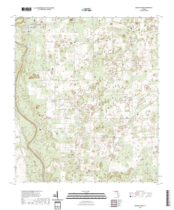
2024 Dowling Park
Suwannee County, FL
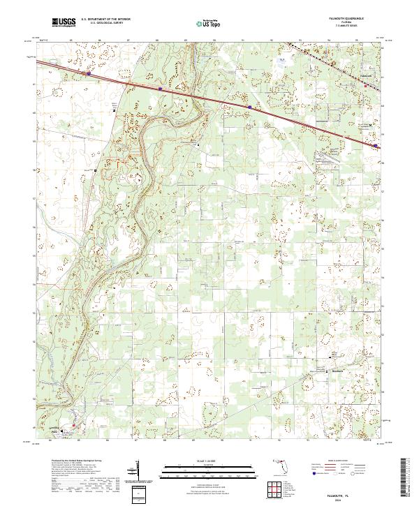
2024 Falmouth
Suwannee County, FL
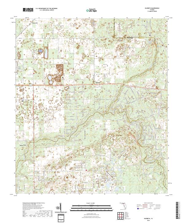
2024 Hildreth
Suwannee County, FL
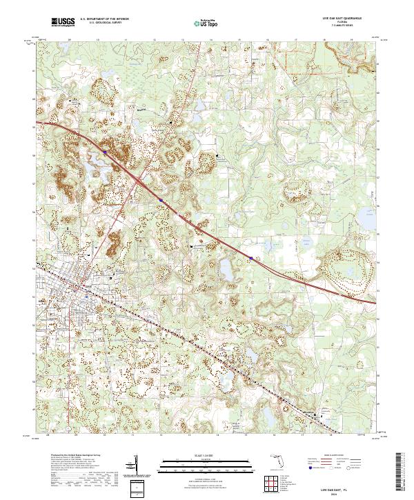
2024 Live Oak East
Suwannee County, FL
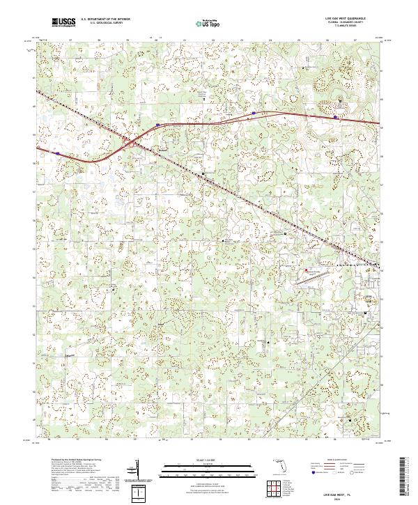
2024 Live Oak West
Suwannee County, FL
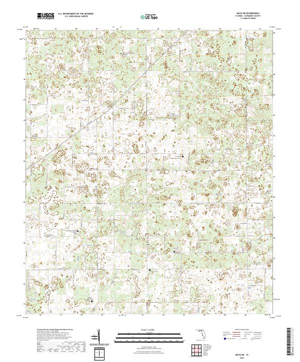
2024 Mayo NE
Suwannee County, FL
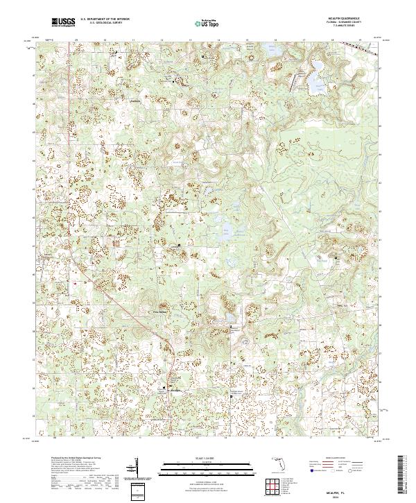
2024 McAlpin
Suwannee County, FL
2024 O'Brien SE
Suwannee County, FL
2024 O'Brien
Suwannee County, FL
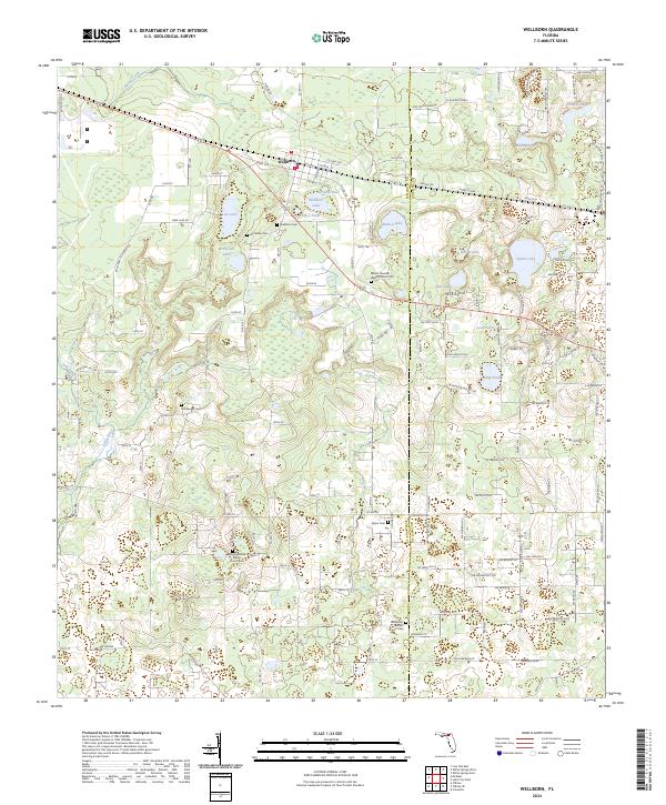
2024 Wellborn
Suwannee County, FL
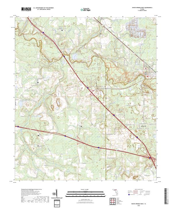
2024 White Springs West
Suwannee County, FL