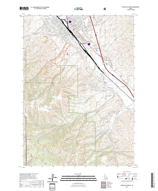
2023 Map of Pocatello South
USGS Topo · Published 2023About this map
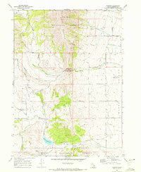
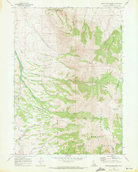
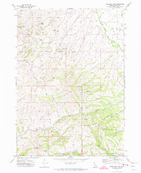
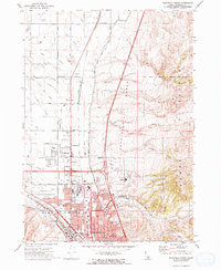
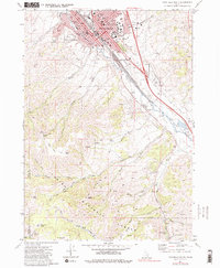
The city of Pocatello anchors the northern portion of this survey, serving as a gateway between the urban centers of the Snake River Plain and the high peaks of the Caribou National Forest. The landscape is defined by the sharp transition from the structured street grid and cultural institutions like Idaho State University and the Bannock County Courthouse to the complex trail networks of the south. The Portneuf River and the Union Pacific Railroad parallel one another through the valley, highlighting the historical importance of this corridor for transport and industry.
Find a feature on this map
170 named features on this map. Tap any name to fly to it.
Don’t see what you’re looking for? This feature index may not catch every label — zoom into the map to look around manually.
Map Details
Editions of this 2023 Pocatello South Map
This is the sole edition of this map. No revisions or reprints were ever made.
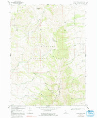
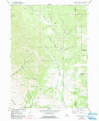
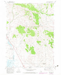
Historical Maps of Pocatello Through Time
30 maps found
1968 Bonneville Peak
Bannock County, ID
1968 Downey East
Bannock County, ID
1968 Downey West
Bannock County, ID
1968 Hawkins
Bannock County, ID
1968 Haystack Mtn
Bannock County, ID
1968 Mc Cammon
Bannock County, ID
1968 Scout Mtn
Bannock County, ID
1968 South Putnam Mtn
Bannock County, ID
1968 Wakley Peak
Bannock County, ID
1969 Cottonwood Peak
Bannock County, ID
1969 Swan Lake
Bannock County, ID
1971 Moonlight Mtn
Bannock County, ID
1971 Pocatello North
Bannock County, ID
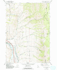
1971 Pocatello South
Bannock County, ID
1974 Pocatello North
Bannock County, ID
1982 Sedgwick Peak
Bannock County, ID
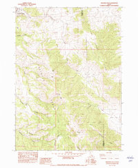
2023 Bonneville Peak
Bannock County, ID
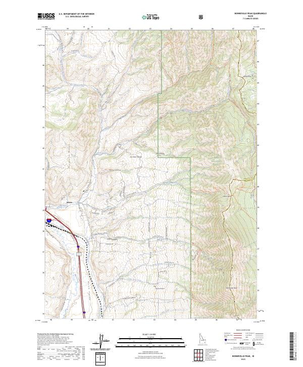
2023 Cottonwood Peak
Bannock County, ID
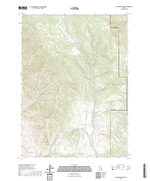
2023 Haystack Mountain
Bannock County, ID
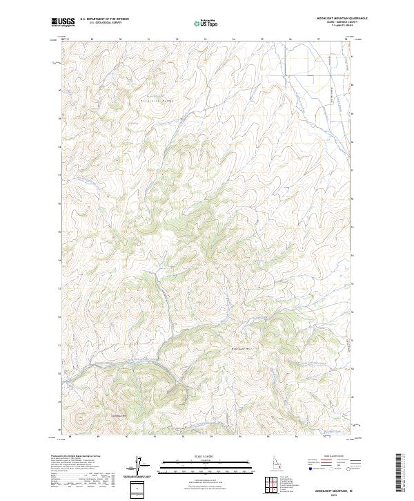
2023 Moonlight Mountain
Bannock County, ID
2023 Pocatello South
Bannock County, ID
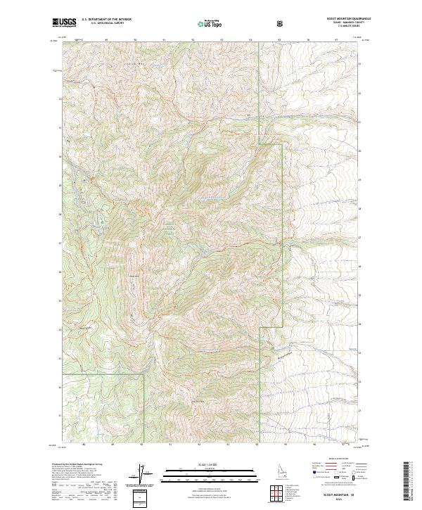
2023 Scout Mountain
Bannock County, ID
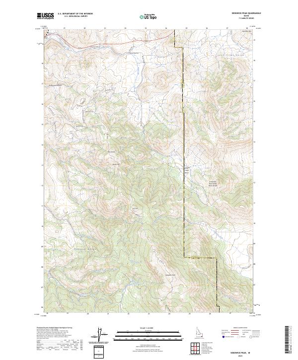
2023 Sedgwick Peak
Bannock County, ID
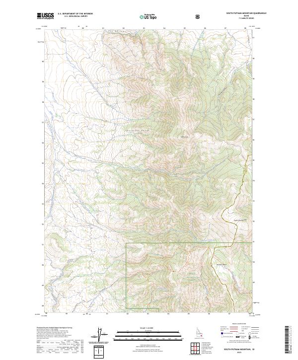
2023 South Putnam Mountain
Bannock County, ID
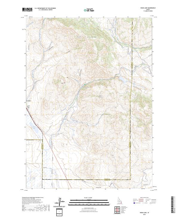
2023 Swan Lake
Bannock County, ID
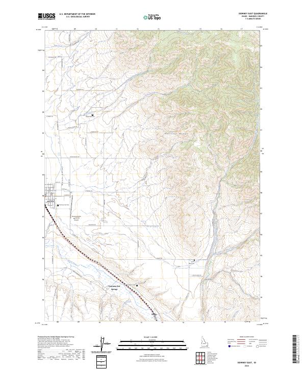
2024 Downey East
Bannock County, ID
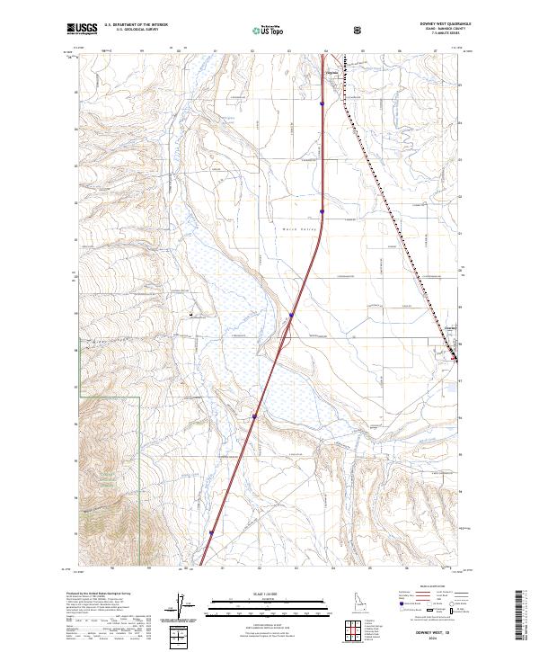
2024 Downey West
Bannock County, ID
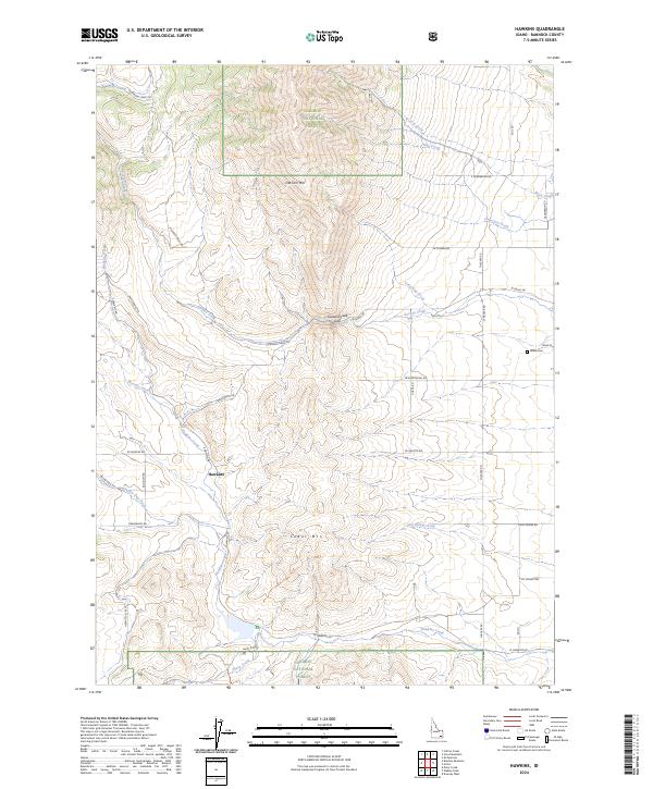
2024 Hawkins
Bannock County, ID
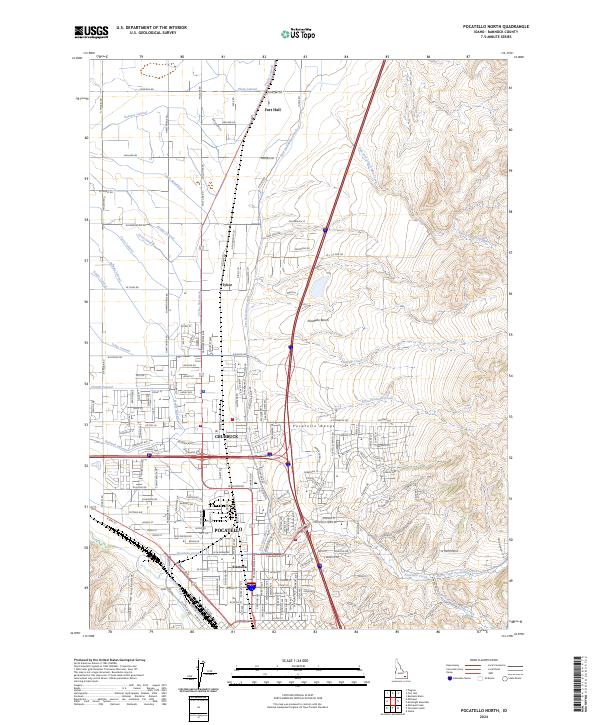
2024 Pocatello North
Bannock County, ID
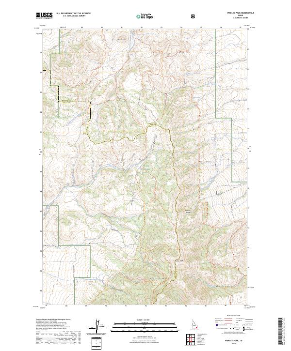
2024 Wakley Peak
Bannock County, ID