
2024 Map of Port Tampa
USGS Topo · Published 2024About this map
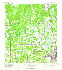
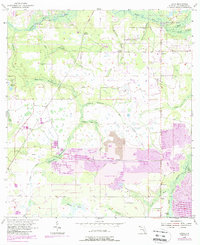
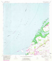
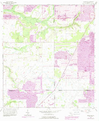
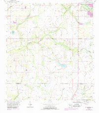
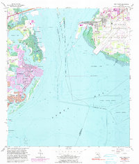
MacDill Air Force Base dominates the Interbay Peninsula in this modern survey, marking a significant military presence where the waters of Old Tampa Bay meet the primary Tampa Bay. Across the channel, the residential finger islands and canals of Venetian Isles and Shore Acres illustrate the sophisticated mid-century and modern coastal engineering of St. Petersburg. The map captures a landscape defined by its intricate shoreline, from the preserved natural environments of Weedon Island and Weedon Hammock to the industrial and logistical hubs at Port Tampa. Navigational features like the Port Tampa Channel and aviation facilities at Albert Whitted Airport highlight the region's enduring reliance on maritime and air transport. This geography reveals the complex interface between high-density urban development, strategic military land use, and the fragile mangrove-lined islands like Snake Island and Christmas Island.
Find a feature on this map
115 named features on this map. Tap any name to fly to it.
Don’t see what you’re looking for? This feature index may not catch every label — zoom into the map to look around manually.
Map Details
Editions of this 2024 Port Tampa Map
This is the sole edition of this map. No revisions or reprints were ever made.
Historical Maps of Pinewood Through Time
42 maps found

1942 Cockroach Bay
Hillsborough County, FL

1943 Gandy Bridge
Hillsborough County, FL

1943 Port Tampa
Hillsborough County, FL
1944 Antioch
Hillsborough County, FL
1944 Egmont Key
Hillsborough County, FL

1944 Sulphur Springs
Hillsborough County, FL

1945 Cockroach Bay
Hillsborough County, FL

1945 Gadsden Point
Hillsborough County, FL

1945 Sulphur Springs
Hillsborough County, FL

1947 Cockroach Bay
Hillsborough County, FL

1947 Gadsden Point
Hillsborough County, FL

1947 Gandy Bridge
Hillsborough County, FL
1947 Port Tampa
Hillsborough County, FL

1949 Sulphur Springs
Hillsborough County, FL
1955 Keysville
Hillsborough County, FL
1955 Lithia
Hillsborough County, FL

1955 Nichols
Hillsborough County, FL
1956 Cockroach Bay
Hillsborough County, FL
1956 Duette NE
Hillsborough County, FL
1956 Fort Lonesome
Hillsborough County, FL

1956 Gandy Bridge
Hillsborough County, FL
1956 Port Tampa
Hillsborough County, FL
1956 Sulphur Springs
Hillsborough County, FL
1964 Egmont Key
Hillsborough County, FL
1975 Plant City East
Hillsborough County, FL
1975 Plant City West
Hillsborough County, FL

1981 St Petersburg
Hillsborough County, FL

1994 Plant City East
Hillsborough County, FL

1995 Sulphur Springs
Hillsborough County, FL

1998 Gandy Bridge
Hillsborough County, FL
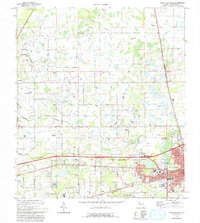
2024 Cockroach Bay
Hillsborough County, FL
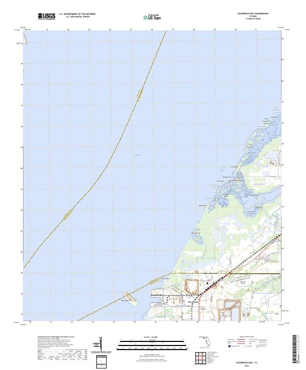
2024 Duette NE
Hillsborough County, FL
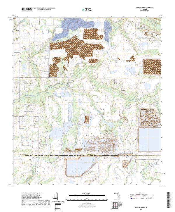
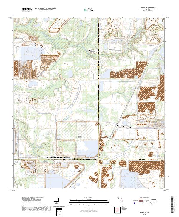
2024 Fort Lonesome
Hillsborough County, FL

2024 Gandy Bridge
Hillsborough County, FL
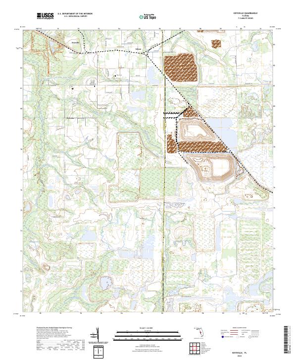
2024 Keysville
Hillsborough County, FL

2024 Lithia
Hillsborough County, FL
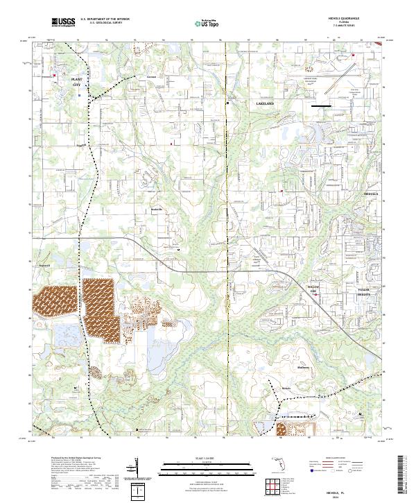
2024 Nichols
Hillsborough County, FL
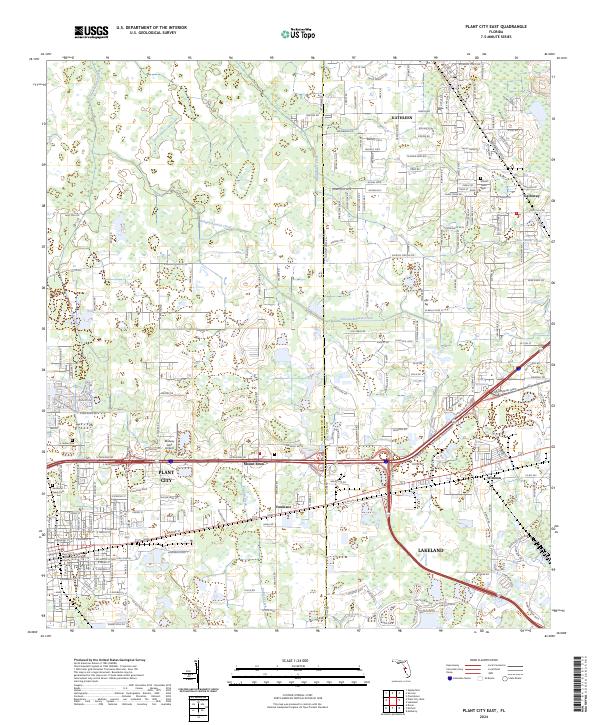
2024 Plant City East
Hillsborough County, FL
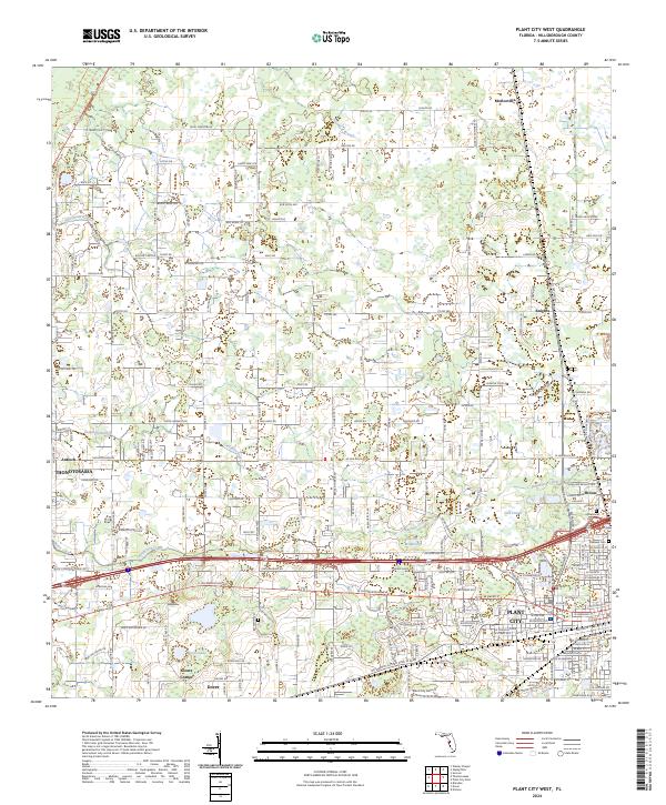
2024 Plant City West
Hillsborough County, FL
2024 Port Tampa
Hillsborough County, FL

2024 Sulphur Springs
Hillsborough County, FL
2025 Egmont Key
Hillsborough County, FL