
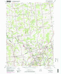
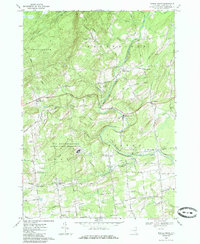
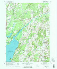
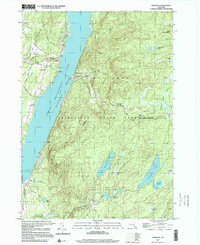
2023 Map of Porter Corners
USGS Topo · Published 2023About this map
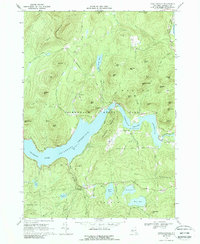
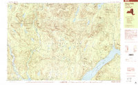
Porter Corners stands as the primary hub of activity in this upland area of Saratoga County, where the southern reaches of the Kayaderosseras Range meet the Adirondack foothills. The landscape is defined by its complex hydrology, featuring numerous wetlands and vly formations such as Big "Brewer" Vly and Macomber Vly. These areas, along with larger bodies like Black Pond and Lake Desolation, illustrate a terrain where drainage was once a significant factor in local land use and development.
Find a feature on this map
85 named features on this map. Tap any name to fly to it.
Don’t see what you’re looking for? This feature index may not catch every label — zoom into the map to look around manually.
Map Details
Editions of this 2023 Porter Corners Map
This is the sole edition of this map. No revisions or reprints were ever made.
Historical Maps of Providence Through Time
38 maps found
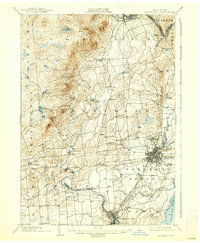
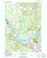
1902 Saratoga
Saratoga County, NY

1934 Quaker Springs
Saratoga County, NY

1935 Corinth
Saratoga County, NY

1935 Gansevoort
Saratoga County, NY

1935 Middle Grove
Saratoga County, NY
1942 Saratoga
Saratoga County, NY

1945 Edinburg
Saratoga County, NY

1945 Galway
Saratoga County, NY

1946 Edinburg
Saratoga County, NY
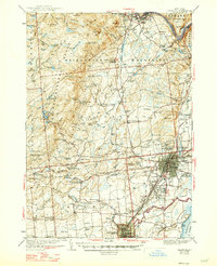
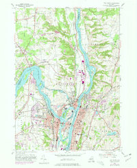
1947 Saratoga
Saratoga County, NY

1949 Saratoga
Saratoga County, NY
1954 Burnt Hills
Saratoga County, NY
1954 Niskayuna
Saratoga County, NY
1954 Troy North
Saratoga County, NY
1966 Conklingville
Saratoga County, NY
1967 Middle Grove
Saratoga County, NY
1967 Quaker Springs
Saratoga County, NY
1968 Corinth
Saratoga County, NY
1968 Gansevoort
Saratoga County, NY
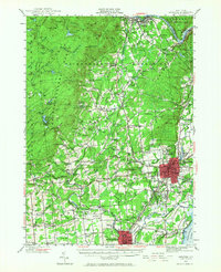
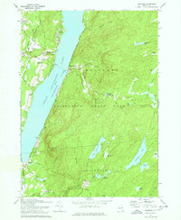
1968 Porter Corners
Saratoga County, NY
1970 Edinburg
Saratoga County, NY
1970 Galway
Saratoga County, NY
1978 Troy North
Saratoga County, NY

1990 Hope Falls
Saratoga County, NY
1997 Edinburg
Saratoga County, NY
1999 Hope Falls
Saratoga County, NY

2023 Burnt Hills
Saratoga County, NY

2023 Conklingville
Saratoga County, NY

2023 Corinth
Saratoga County, NY

2023 Edinburg
Saratoga County, NY

2023 Galway
Saratoga County, NY

2023 Gansevoort
Saratoga County, NY

2023 Middle Grove
Saratoga County, NY

2023 Niskayuna
Saratoga County, NY

2023 Ohmer Mountain
Saratoga County, NY
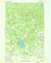
2023 Porter Corners
Saratoga County, NY

2023 Quaker Springs
Saratoga County, NY

2023 Troy North
Saratoga County, NY