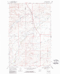
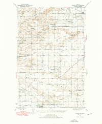
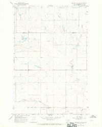
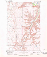
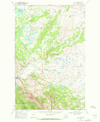
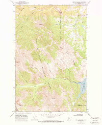
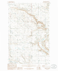
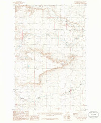
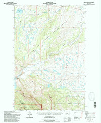
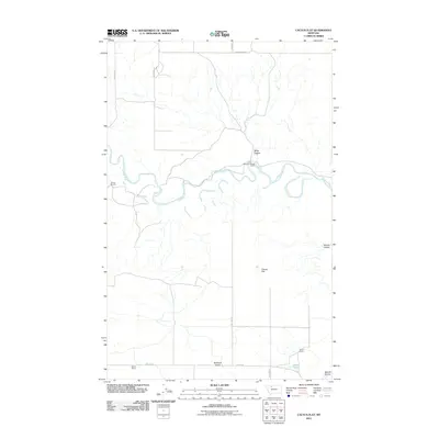
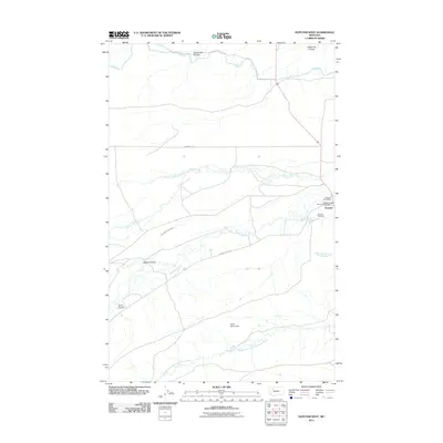
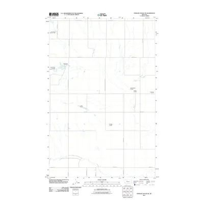
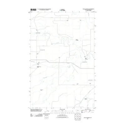
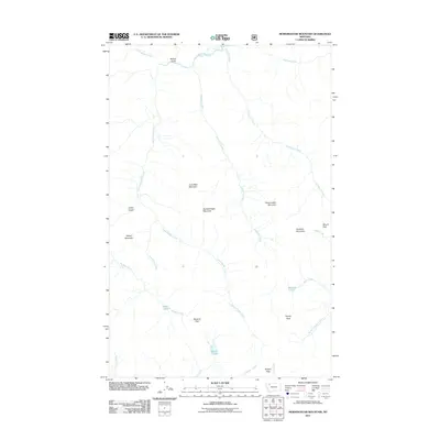
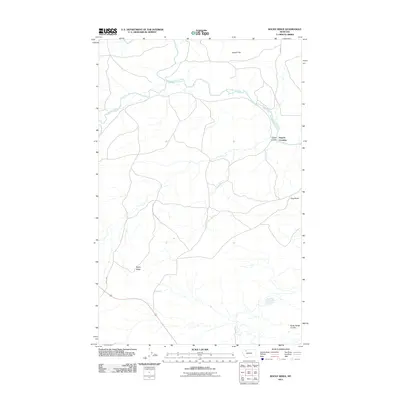
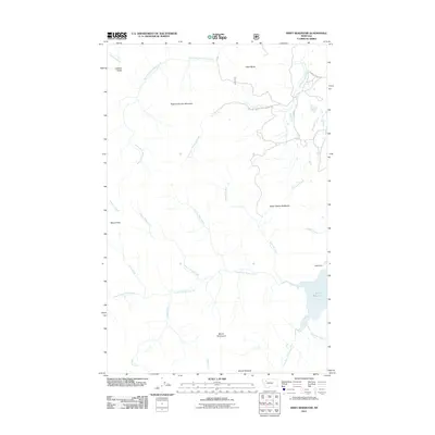
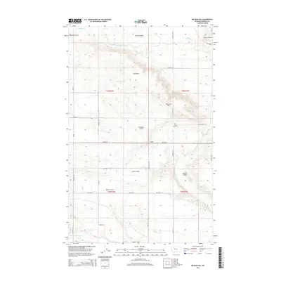
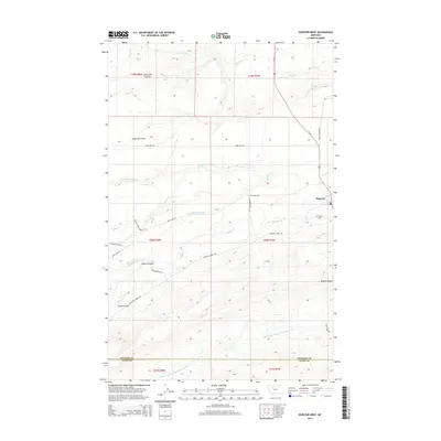
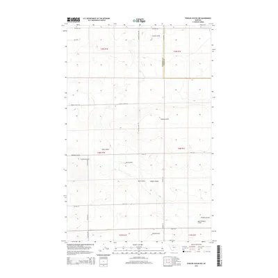
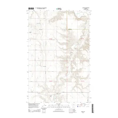
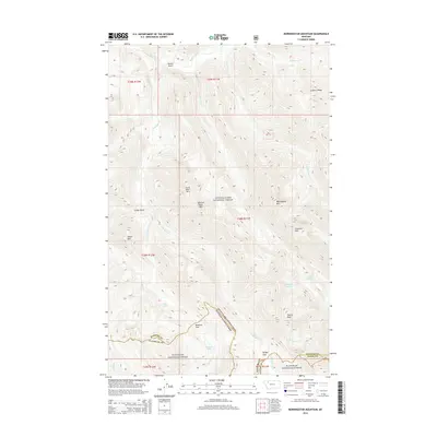
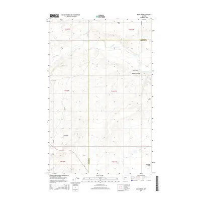
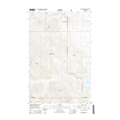
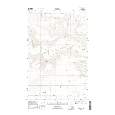
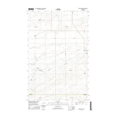
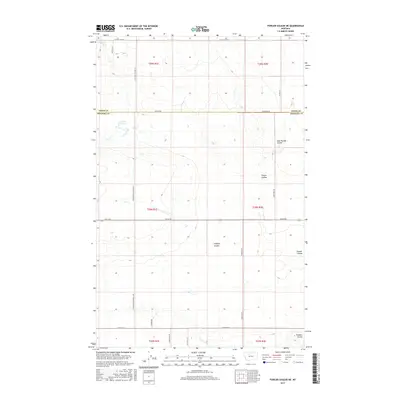
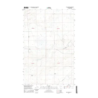
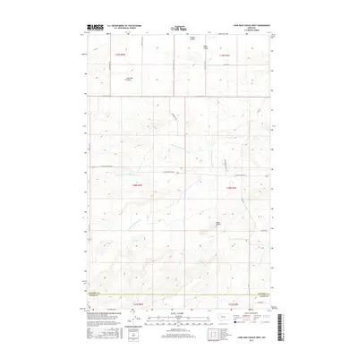
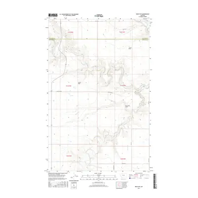
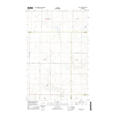
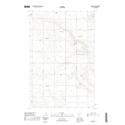
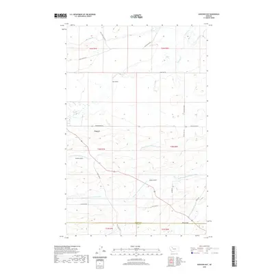
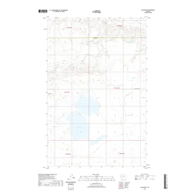
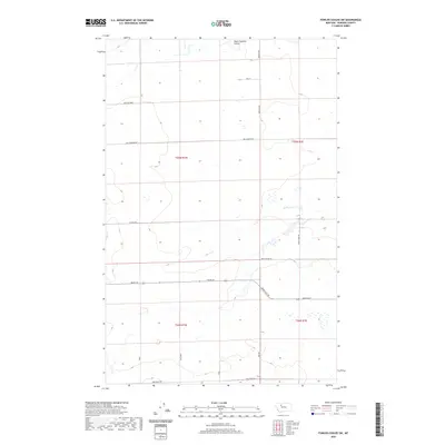
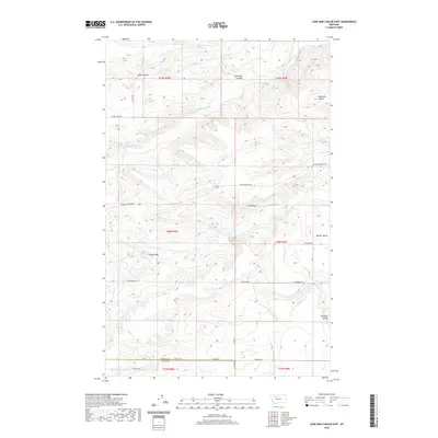
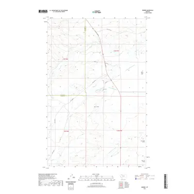
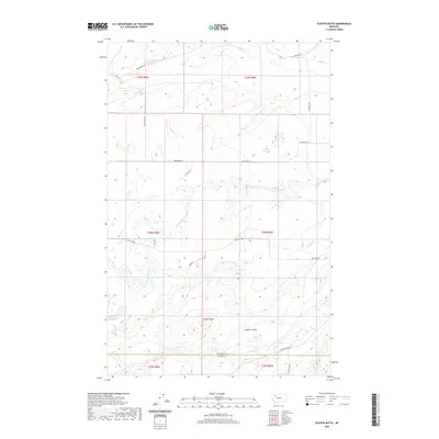
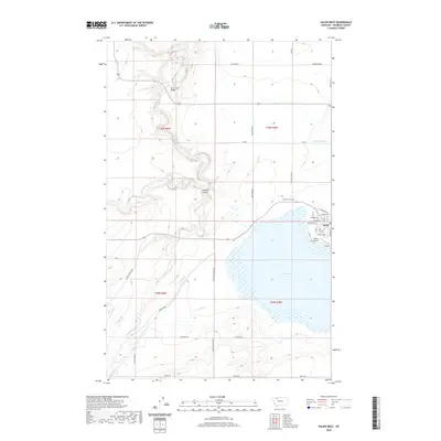
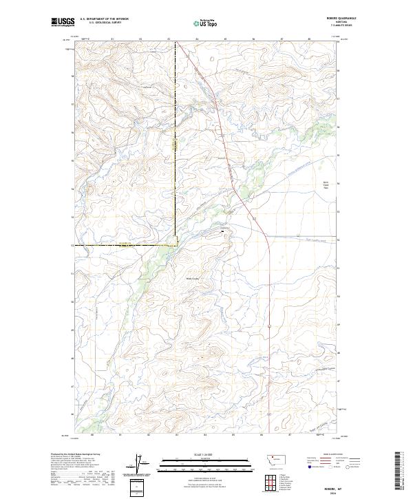
1968 Map of Robere
USGS Topo · Published 1987About this map
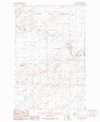
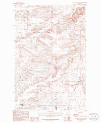
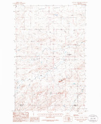
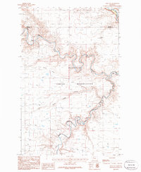
The Blackfeet Indian Reservation Bdy divides this stretch of the northern plains, where the open landscape is defined by an intricate network of irrigation systems and natural watercourses. The map centers on the Robere (site), with its nearby Robere Cem and the Birch Creek Rodeo Ground, reflecting the community's cultural and social touchpoints in the late 1960s. Education and travel are anchored by the Grandview Sch and the historic route of the Lewis and Clark Trail, which cuts diagonally across the terrain.
Find a feature on this map
25 named features on this map. Tap any name to fly to it.
Don’t see what you’re looking for? This feature index may not catch every label — zoom into the map to look around manually.
Map Details
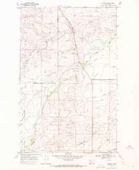
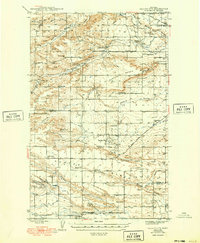
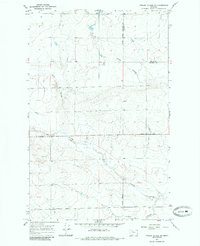
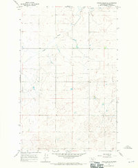
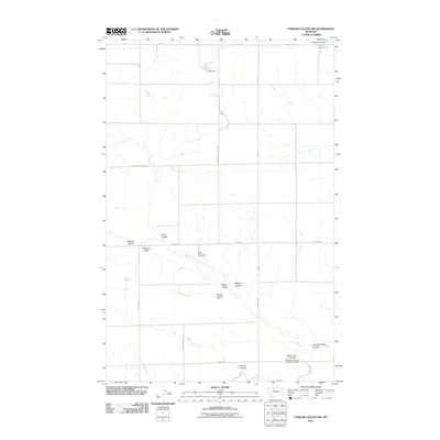
Editions of this 1968 Robere Map
2 editions found
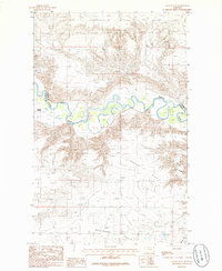
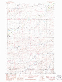
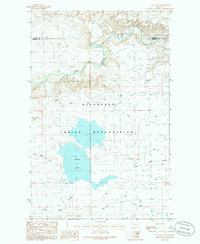
Historical Maps of Pondera County Through Time
188 maps found
1934 Lake Frances
Pondera County, MT
1937 Lake Frances
Pondera County, MT
1938 Gallup City
Pondera County, MT
1942 Gallup City
Pondera County, MT
1958 Crescent Cliff
Pondera County, MT
1967 Conrad SW
Pondera County, MT
1967 Fowler Coulee NE
Pondera County, MT
1967 Fowler Coulee NW
Pondera County, MT
1967 Fowler Coulee SE
Pondera County, MT
1967 Fowler Coulee SW
Pondera County, MT
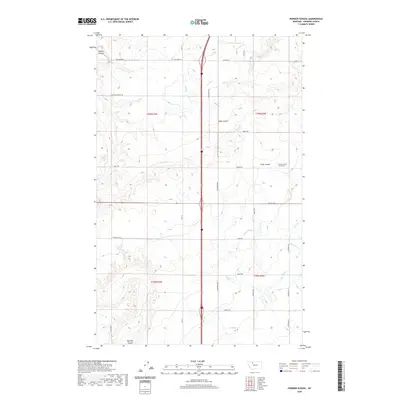
1967 Ledger
Pondera County, MT
1967 Letz Lake
Pondera County, MT
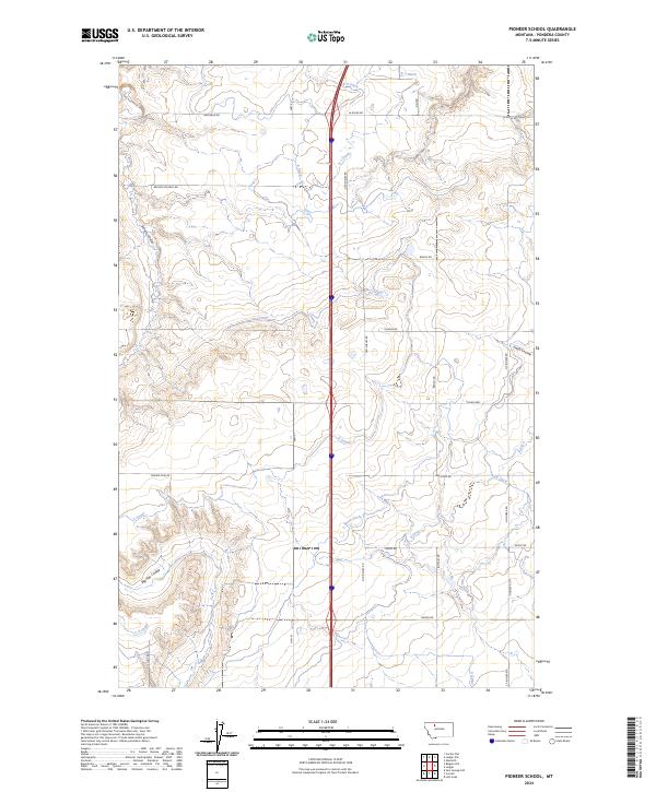
1967 Pioneer School
Pondera County, MT
1968 Dupuyer West
Pondera County, MT
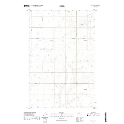
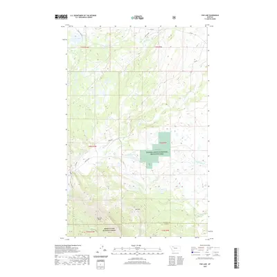
1968 Fish Lake
Pondera County, MT
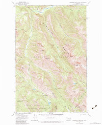
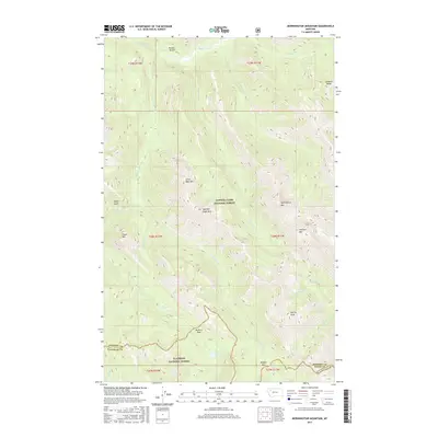
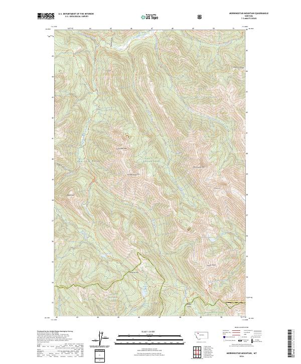
1968 Morningstar Mountain
Pondera County, MT
1968 Robere
Pondera County, MT
1968 Rocky Ridge
Pondera County, MT
1968 Scoffin Butte
Pondera County, MT
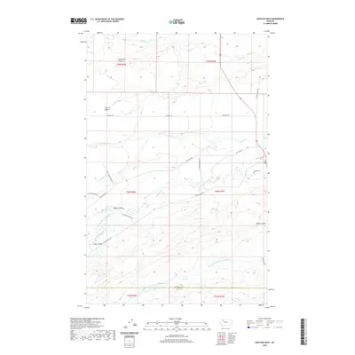
1968 Swift Reservoir
Pondera County, MT
1970 Faris School
Pondera County, MT
1970 Sollid School
Pondera County, MT
1985 Abbott Lake
Pondera County, MT
1985 Belgian Hill
Pondera County, MT
1985 Cactus Flat
Pondera County, MT
1985 Dupuyer East
Pondera County, MT
1985 Flag Butte
Pondera County, MT
1985 Kuka Crossing
Pondera County, MT
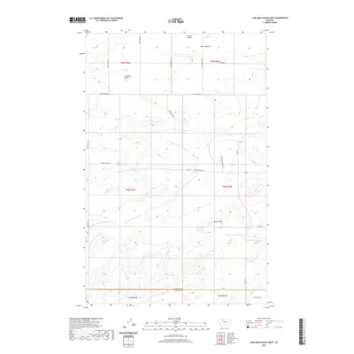
1985 Lone Man Coulee East
Pondera County, MT
1985 Lone Man Coulee West
Pondera County, MT
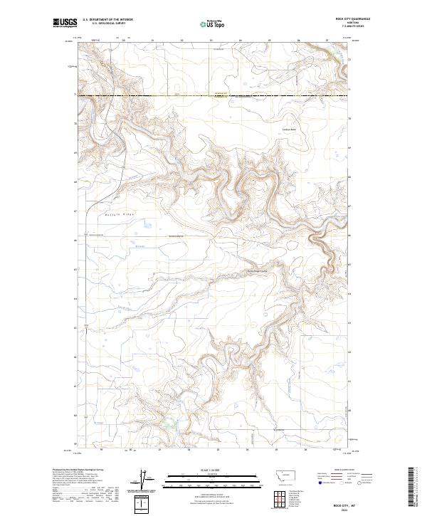
1985 Rock City
Pondera County, MT
1985 Sam George Hill
Pondera County, MT
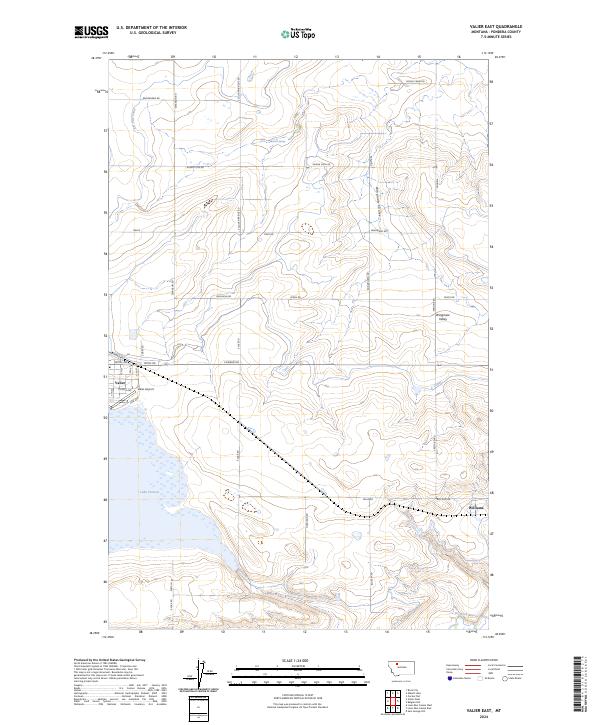
1985 Valier East
Pondera County, MT
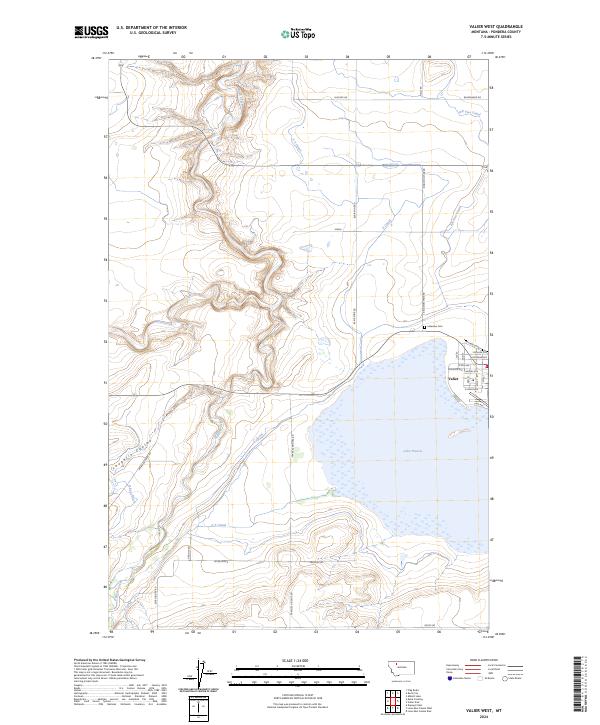
1985 Valier West
Pondera County, MT
1995 Crescent Cliff
Pondera County, MT
1995 Fish Lake
Pondera County, MT
1995 Morningstar Mountain
Pondera County, MT
1995 Swift Reservoir
Pondera County, MT

2011 Abbott Lake
Pondera County, MT
2011 Belgian Hill
Pondera County, MT
2011 Cactus Flat
Pondera County, MT
2011 Conrad SW
Pondera County, MT
2011 Crescent Cliff
Pondera County, MT
2011 Dupuyer East
Pondera County, MT
2011 Dupuyer West
Pondera County, MT
2011 Faris School
Pondera County, MT
2011 Fish Lake
Pondera County, MT
2011 Flag Butte
Pondera County, MT
2011 Fowler Coulee NE
Pondera County, MT
2011 Fowler Coulee NW
Pondera County, MT
2011 Fowler Coulee SE
Pondera County, MT
2011 Fowler Coulee SW
Pondera County, MT
2011 Kuka Crossing
Pondera County, MT

2011 Ledger
Pondera County, MT
2011 Letz Lake
Pondera County, MT
2011 Lone Man Coulee East
Pondera County, MT
2011 Lone Man Coulee West
Pondera County, MT
2011 Morningstar Mountain
Pondera County, MT
2011 Pioneer School
Pondera County, MT
2011 Robere
Pondera County, MT
2011 Rock City
Pondera County, MT
2011 Rocky Ridge
Pondera County, MT
2011 Sam George Hill
Pondera County, MT
2011 Scoffin Butte
Pondera County, MT
2011 Sollid School
Pondera County, MT
2011 Swift Reservoir
Pondera County, MT
2011 Valier East
Pondera County, MT
2011 Valier West
Pondera County, MT
2014 Abbott Lake
Pondera County, MT
2014 Belgian Hill
Pondera County, MT
2014 Cactus Flat
Pondera County, MT
2014 Conrad SW
Pondera County, MT
2014 Crescent Cliff
Pondera County, MT

2014 Dupuyer East
Pondera County, MT
2014 Dupuyer West
Pondera County, MT

2014 Faris School
Pondera County, MT
2014 Fish Lake
Pondera County, MT
2014 Flag Butte
Pondera County, MT
2014 Fowler Coulee NE
Pondera County, MT
2014 Fowler Coulee NW
Pondera County, MT
2014 Fowler Coulee SE
Pondera County, MT
2014 Fowler Coulee SW
Pondera County, MT
2014 Kuka Crossing
Pondera County, MT
2014 Ledger
Pondera County, MT
2014 Letz Lake
Pondera County, MT
2014 Lone Man Coulee East
Pondera County, MT
2014 Lone Man Coulee West
Pondera County, MT
2014 Morningstar Mountain
Pondera County, MT
2014 Pioneer School
Pondera County, MT
2014 Robere
Pondera County, MT
2014 Rock City
Pondera County, MT
2014 Rocky Ridge
Pondera County, MT
2014 Sam George Hill
Pondera County, MT
2014 Scoffin Butte
Pondera County, MT
2014 Sollid School
Pondera County, MT
2014 Swift Reservoir
Pondera County, MT
2014 Valier East
Pondera County, MT
2014 Valier West
Pondera County, MT
2017 Abbott Lake
Pondera County, MT

2017 Belgian Hill
Pondera County, MT
2017 Cactus Flat
Pondera County, MT
2017 Conrad SW
Pondera County, MT
2017 Crescent Cliff
Pondera County, MT
2017 Dupuyer East
Pondera County, MT
2017 Dupuyer West
Pondera County, MT
2017 Faris School
Pondera County, MT
2017 Fish Lake
Pondera County, MT
2017 Flag Butte
Pondera County, MT
2017 Fowler Coulee NE
Pondera County, MT
2017 Fowler Coulee NW
Pondera County, MT
2017 Fowler Coulee SE
Pondera County, MT
2017 Fowler Coulee SW
Pondera County, MT
2017 Kuka Crossing
Pondera County, MT
2017 Ledger
Pondera County, MT
2017 Letz Lake
Pondera County, MT
2017 Lone Man Coulee East
Pondera County, MT
2017 Lone Man Coulee West
Pondera County, MT
2017 Morningstar Mountain
Pondera County, MT
2017 Pioneer School
Pondera County, MT
2017 Robere
Pondera County, MT
2017 Rock City
Pondera County, MT
2017 Rocky Ridge
Pondera County, MT
2017 Sam George Hill
Pondera County, MT
2017 Scoffin Butte
Pondera County, MT
2017 Sollid School
Pondera County, MT
2017 Swift Reservoir
Pondera County, MT
2017 Valier East
Pondera County, MT

2017 Valier West
Pondera County, MT
2020 Abbott Lake
Pondera County, MT
2020 Belgian Hill
Pondera County, MT
2020 Cactus Flat
Pondera County, MT
2020 Conrad SW
Pondera County, MT
2020 Crescent Cliff
Pondera County, MT
2020 Dupuyer East
Pondera County, MT
2020 Dupuyer West
Pondera County, MT
2020 Faris School
Pondera County, MT
2020 Fish Lake
Pondera County, MT
2020 Flag Butte
Pondera County, MT
2020 Fowler Coulee NE
Pondera County, MT
2020 Fowler Coulee NW
Pondera County, MT
2020 Fowler Coulee SE
Pondera County, MT
2020 Fowler Coulee SW
Pondera County, MT
2020 Kuka Crossing
Pondera County, MT
2020 Ledger
Pondera County, MT
2020 Letz Lake
Pondera County, MT
2020 Lone Man Coulee East
Pondera County, MT
2020 Lone Man Coulee West
Pondera County, MT
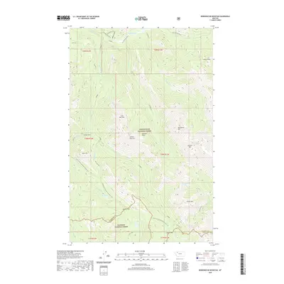
2020 Morningstar Mountain
Pondera County, MT
2020 Pioneer School
Pondera County, MT
2020 Robere
Pondera County, MT
2020 Rock City
Pondera County, MT
2020 Rocky Ridge
Pondera County, MT
2020 Sam George Hill
Pondera County, MT
2020 Scoffin Butte
Pondera County, MT
2020 Sollid School
Pondera County, MT
2020 Swift Reservoir
Pondera County, MT
2020 Valier East
Pondera County, MT
2020 Valier West
Pondera County, MT
2024 Abbott Lake
Pondera County, MT
2024 Belgian Hill
Pondera County, MT
2024 Cactus Flat
Pondera County, MT
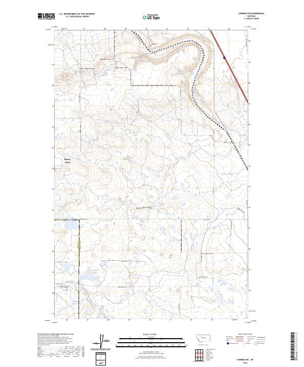
2024 Conrad SW
Pondera County, MT
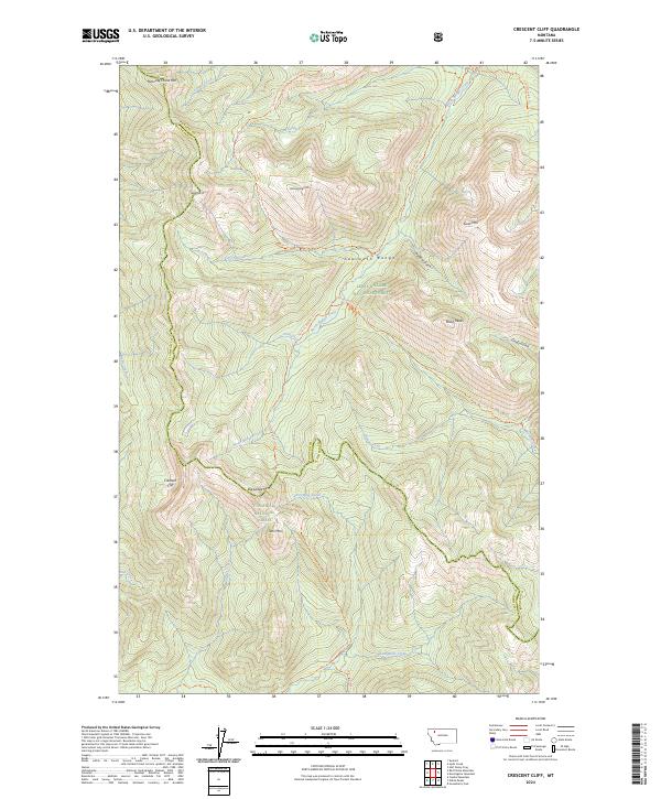
2024 Crescent Cliff
Pondera County, MT
2024 Dupuyer East
Pondera County, MT
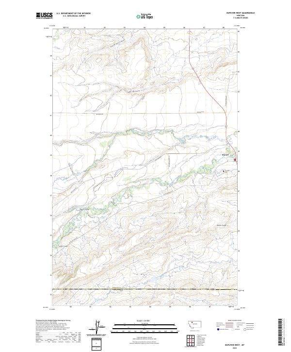
2024 Dupuyer West
Pondera County, MT
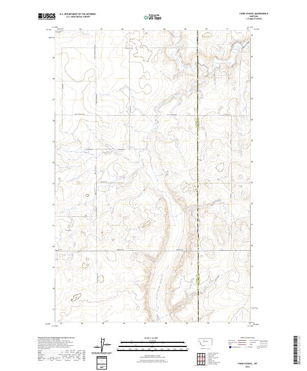
2024 Faris School
Pondera County, MT
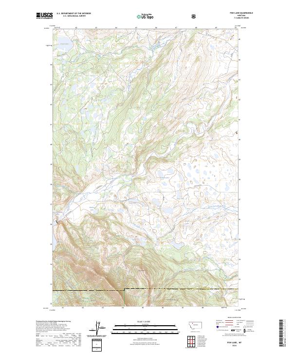
2024 Fish Lake
Pondera County, MT
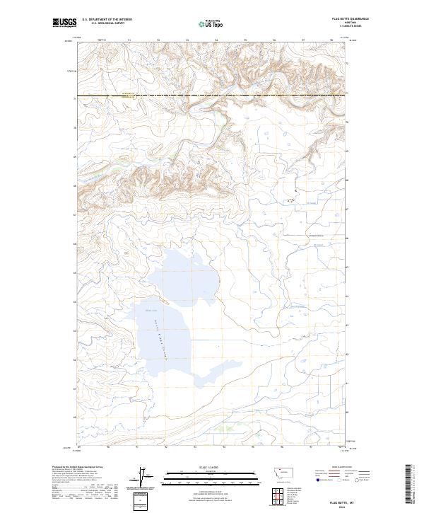
2024 Flag Butte
Pondera County, MT
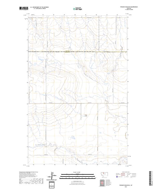
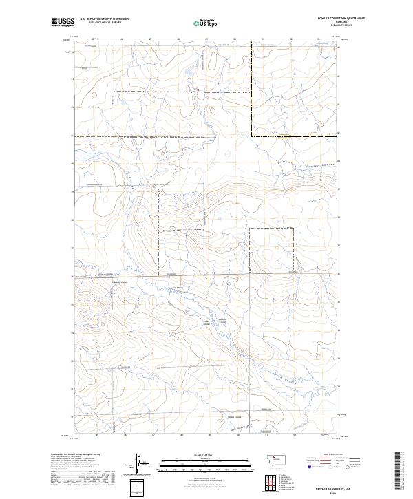
2024 Fowler Coulee NE
Pondera County, MT
2024 Fowler Coulee NW
Pondera County, MT
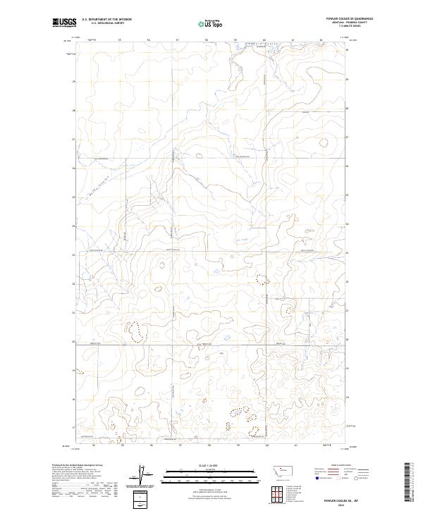
2024 Fowler Coulee SE
Pondera County, MT
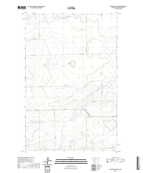
2024 Fowler Coulee SW
Pondera County, MT
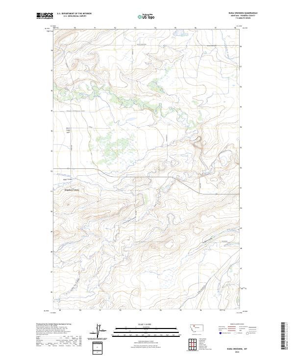
2024 Kuka Crossing
Pondera County, MT
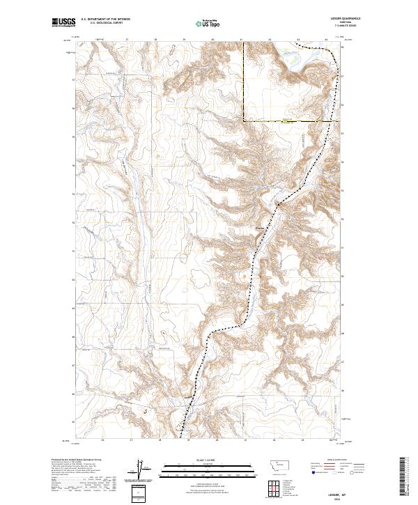
2024 Ledger
Pondera County, MT
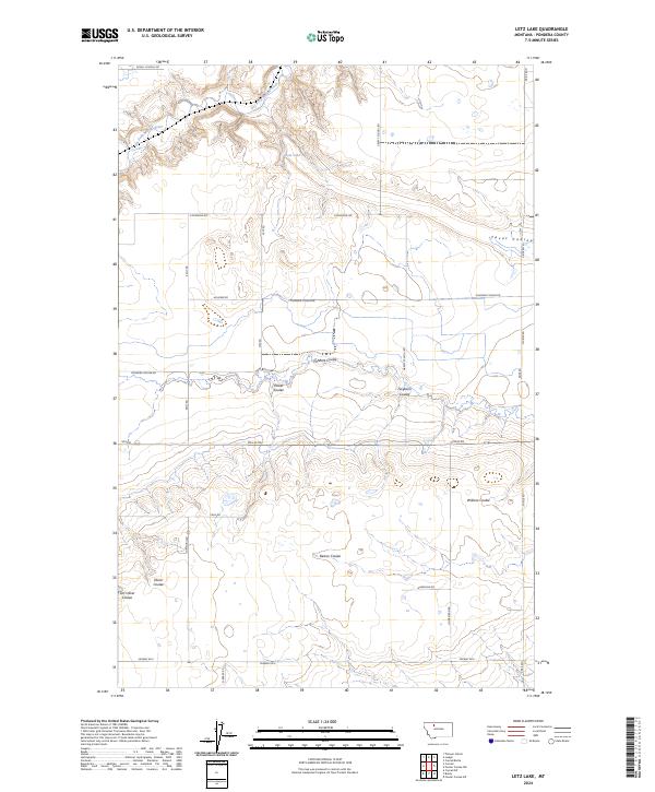
2024 Letz Lake
Pondera County, MT
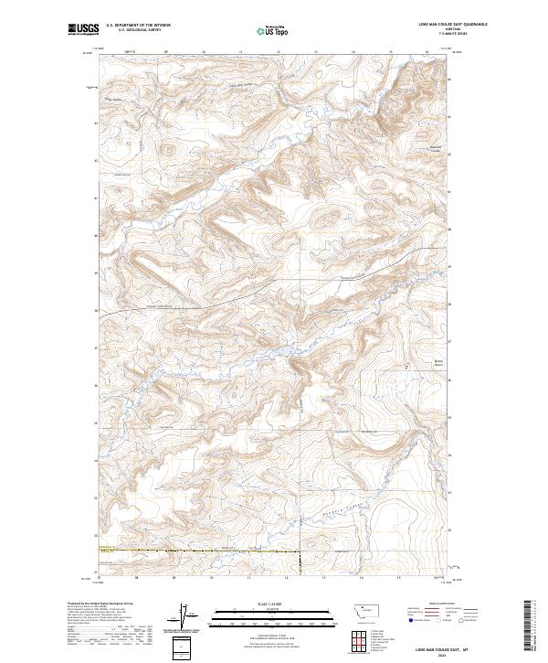
2024 Lone Man Coulee East
Pondera County, MT
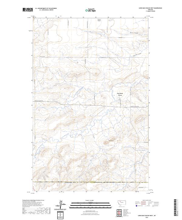
2024 Lone Man Coulee West
Pondera County, MT
2024 Morningstar Mountain
Pondera County, MT
2024 Pioneer School
Pondera County, MT
2024 Robere
Pondera County, MT
2024 Rock City
Pondera County, MT

2024 Rocky Ridge
Pondera County, MT
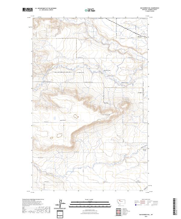
2024 Sam George Hill
Pondera County, MT
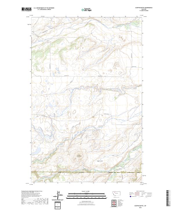
2024 Scoffin Butte
Pondera County, MT
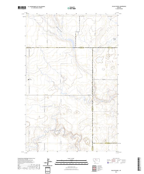
2024 Sollid School
Pondera County, MT
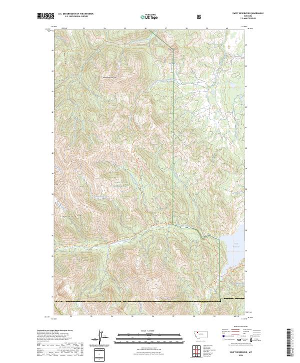
2024 Swift Reservoir
Pondera County, MT
2024 Valier East
Pondera County, MT
2024 Valier West
Pondera County, MT