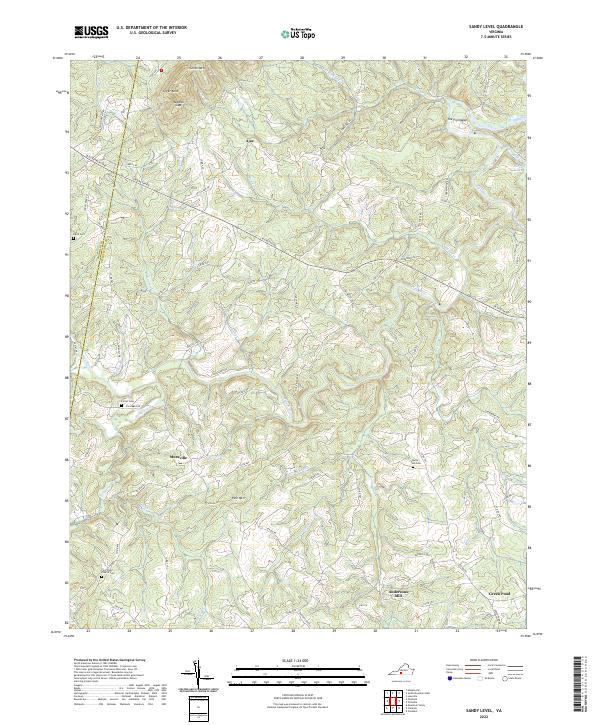
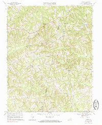
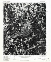
2022 Map of Sandy Level
USGS Topo · Published 2022About this map
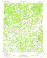
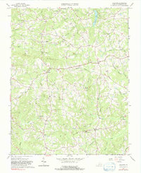
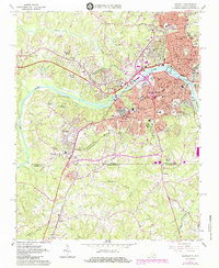
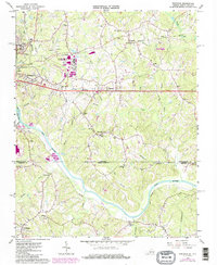
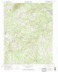
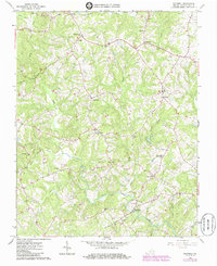
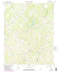
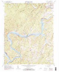
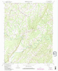
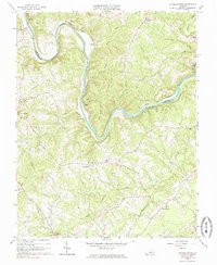
The Pigg River carves a winding path through the borderlands of Franklin and Pittsylvania counties, defining a landscape of narrow ridges and complex drainage basins. Small agricultural communities such as Ajax and Museville serve as anchors in a region defined by family legacies, evidenced by the numerous small burial grounds like Davis Cem, Carter Cem, and the Owen - Tosh Cem. This 2022 survey captures the persistent rural character of the area, where historic routes like the Old Franklin Tpke still traverse the terrain.
Find a feature on this map
82 named features on this map. Tap any name to fly to it.
Don’t see what you’re looking for? This feature index may not catch every label — zoom into the map to look around manually.
Map Details
Editions of this 2022 Sandy Level Map
This is the sole edition of this map. No revisions or reprints were ever made.
Historical Maps of Andersons Mill Through Time
36 maps found

1922 Callands
Pittsylvania County, VA

1923 Danville
Pittsylvania County, VA
1924 Callands
Pittsylvania County, VA

1924 Draper
Pittsylvania County, VA
1925 Danville
Pittsylvania County, VA
1926 Draper
Pittsylvania County, VA

1944 Callands
Pittsylvania County, VA

1944 Draper
Pittsylvania County, VA
1964 Pittsville
Pittsylvania County, VA
1964 Spring Garden
Pittsylvania County, VA
1965 Brosville
Pittsylvania County, VA
1965 Callands
Pittsylvania County, VA
1965 Danville
Pittsylvania County, VA
1965 Ringgold
Pittsylvania County, VA
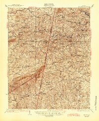
1965 Sandy Level
Pittsylvania County, VA
1965 Whitmell
Pittsylvania County, VA
1966 Java
Pittsylvania County, VA
1966 Leesville
Pittsylvania County, VA
1966 Mount Airy
Pittsylvania County, VA
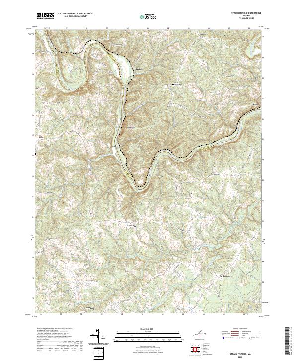
1966 Straightstone
Pittsylvania County, VA
1968 Ingram
Pittsylvania County, VA
1977 Brosville
Pittsylvania County, VA

1984 Danville
Pittsylvania County, VA
2022 Brosville
Pittsylvania County, VA
2022 Callands
Pittsylvania County, VA
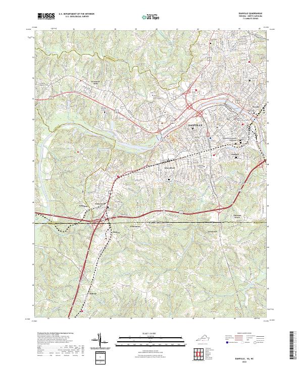
2022 Danville
Pittsylvania County, VA
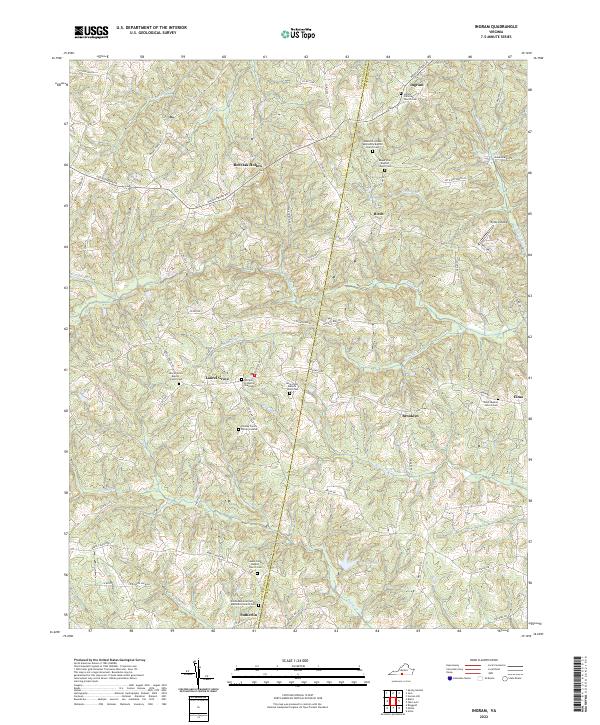
2022 Ingram
Pittsylvania County, VA
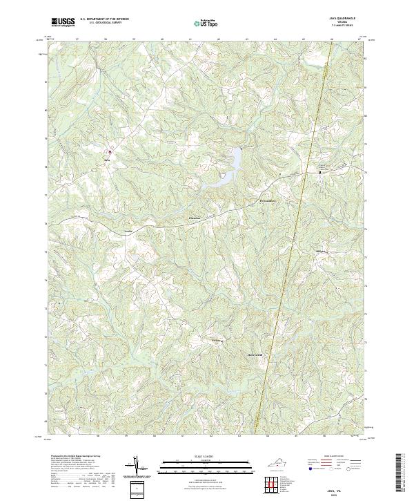
2022 Java
Pittsylvania County, VA
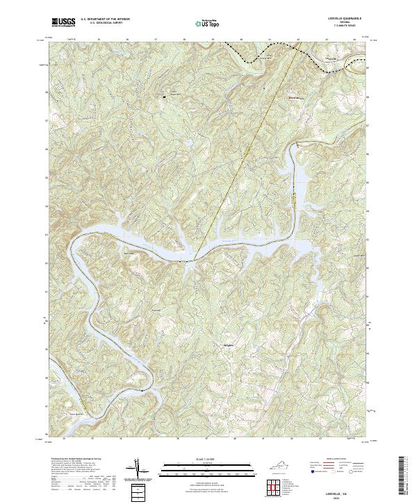
2022 Leesville
Pittsylvania County, VA
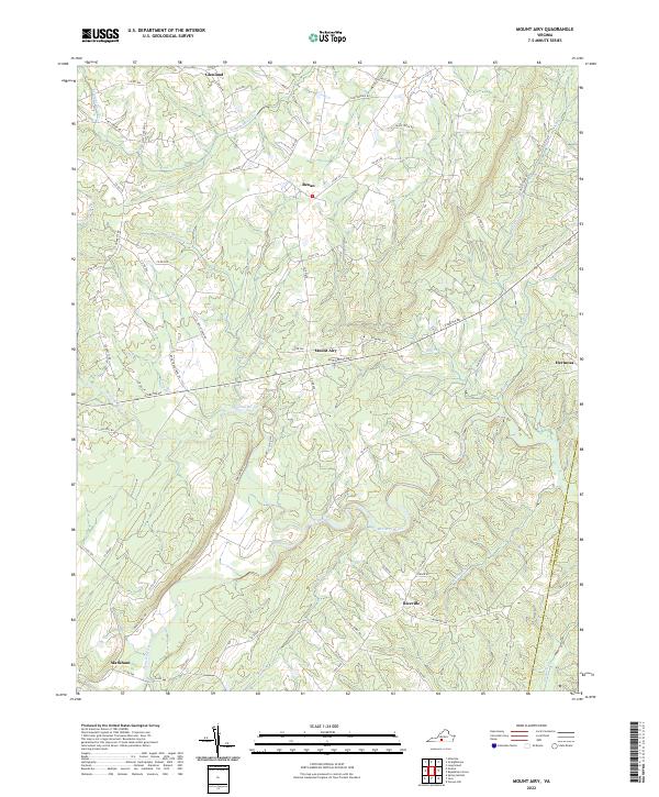
2022 Mount Airy
Pittsylvania County, VA
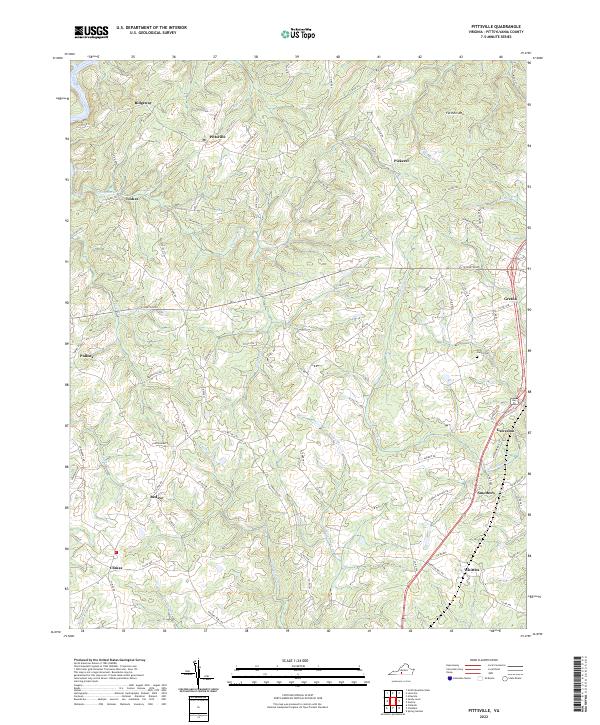
2022 Pittsville
Pittsylvania County, VA
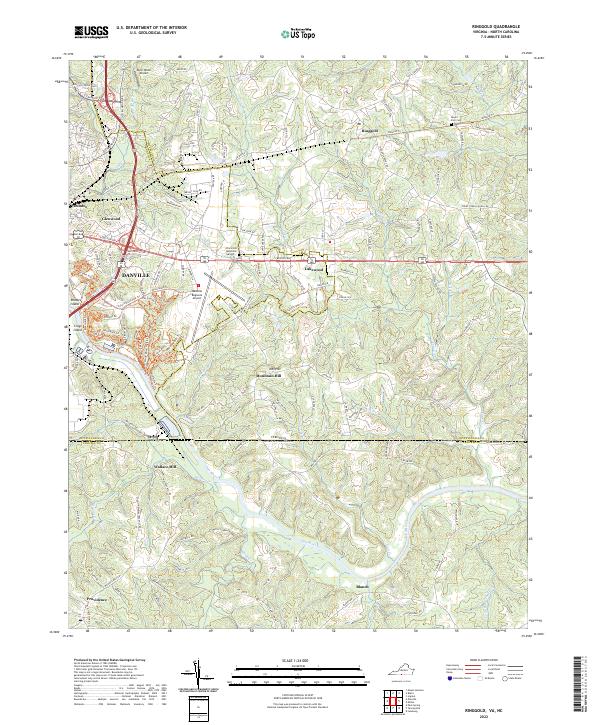
2022 Ringgold
Pittsylvania County, VA
2022 Sandy Level
Pittsylvania County, VA
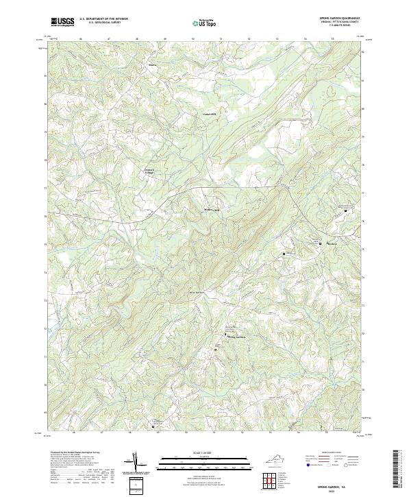
2022 Spring Garden
Pittsylvania County, VA
2022 Straightstone
Pittsylvania County, VA

2022 Whitmell
Pittsylvania County, VA