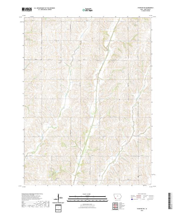
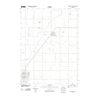
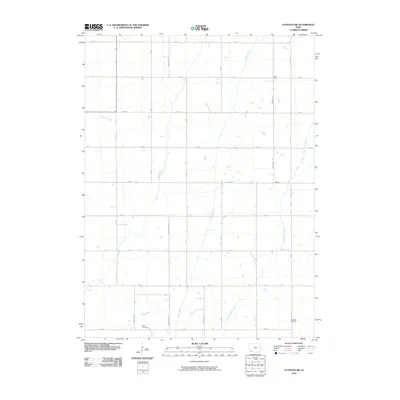
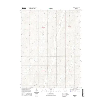
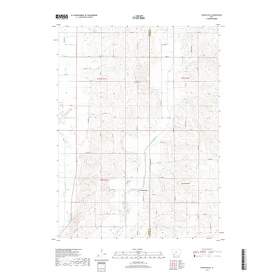
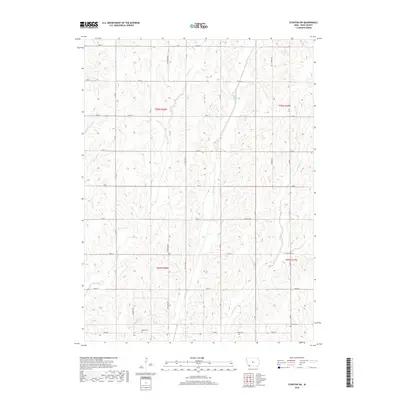
2022 Map of Stanton SW
USGS Topo · Published 2022About this map
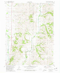
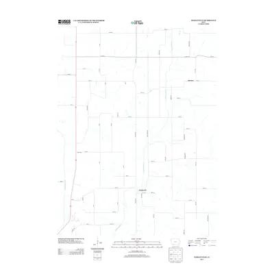
The Tarkio River and its accompanying tributaries define this section of Page County, Iowa, as seen in this 2022 U.S. Geological Survey representation. The landscape is dominated by the north-south flow of W Tarkio Cr and E Tarkio Cr, which flank the central river valley. This agricultural region is meticulously divided by a section-line road grid, including corridors like Ironwood Ave, Lumber Ave, and Hickory Ave. Genealogists will find the locations of Baker Cem in the southwestern quadrant and Summit Cem near the eastern border particularly useful for tracing local family history. The topography shows the characteristic drainage patterns of the western Iowa loess hills area, with small stream branches like Rocky Br carving into the upland plains.
Find a feature on this map
28 named features on this map. Tap any name to fly to it.
Don’t see what you’re looking for? This feature index may not catch every label — zoom into the map to look around manually.
Map Details
Editions of this 2022 Stanton SW Map
This is the sole edition of this map. No revisions or reprints were ever made.
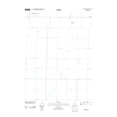
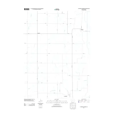
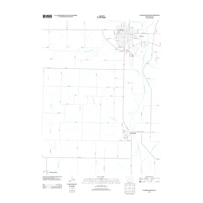
Historical Maps of Page County Through Time
36 maps found
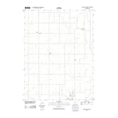
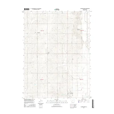
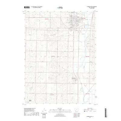
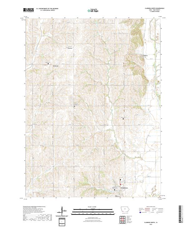
1978 Clarinda North
Page County, IA
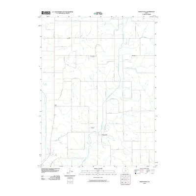
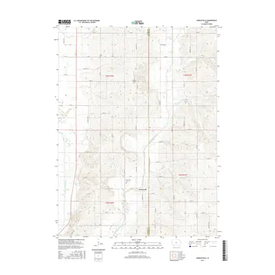
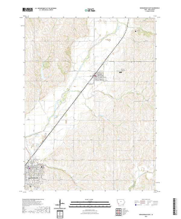
1978 Shenandoah East
Page County, IA
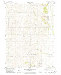
1978 Stanton SW
Page County, IA
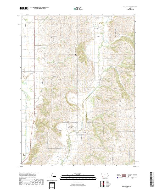
1980 Hawleyville
Page County, IA
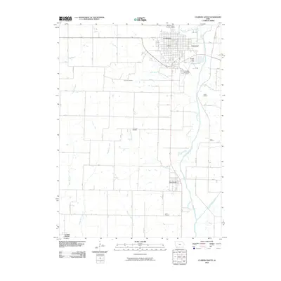
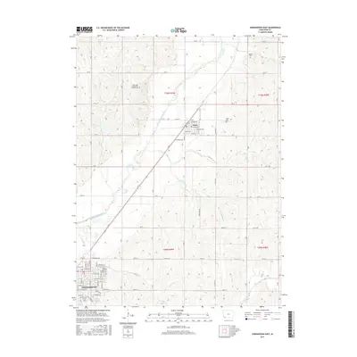
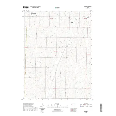
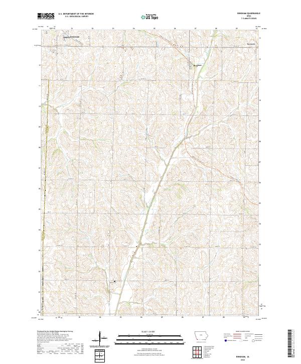
1981 Bingham
Page County, IA
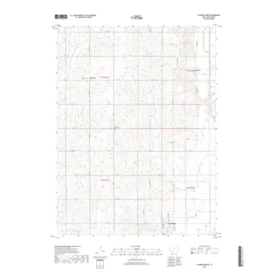
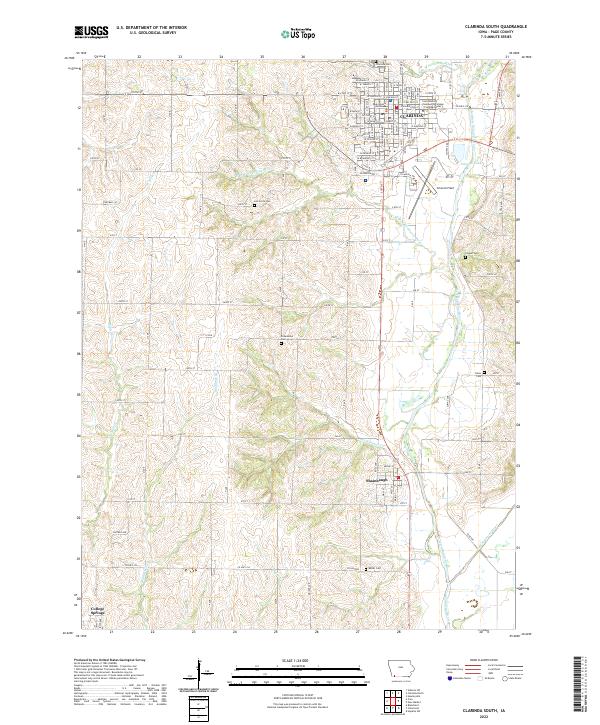
1981 Clarinda South
Page County, IA
2010 Bingham
Page County, IA
2010 Clarinda North
Page County, IA
2010 Clarinda South
Page County, IA
2010 Hawleyville
Page County, IA
2010 Shenandoah East
Page County, IA
2010 Stanton SW
Page County, IA
2013 Bingham
Page County, IA
2013 Clarinda North
Page County, IA
2013 Clarinda South
Page County, IA
2013 Hawleyville
Page County, IA
2013 Shenandoah East
Page County, IA
2013 Stanton SW
Page County, IA
2015 Bingham
Page County, IA
2015 Clarinda North
Page County, IA

2015 Clarinda South
Page County, IA
2015 Hawleyville
Page County, IA
2015 Shenandoah East
Page County, IA
2015 Stanton SW
Page County, IA
2018 Bingham
Page County, IA
2018 Clarinda North
Page County, IA
2018 Clarinda South
Page County, IA
2018 Hawleyville
Page County, IA

2018 Shenandoah East
Page County, IA
2018 Stanton SW
Page County, IA
2022 Bingham
Page County, IA
2022 Clarinda North
Page County, IA
2022 Clarinda South
Page County, IA
2022 Hawleyville
Page County, IA
2022 Shenandoah East
Page County, IA
2022 Stanton SW
Page County, IA