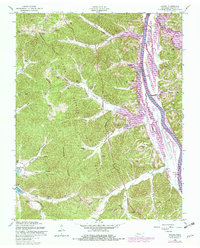
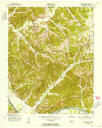
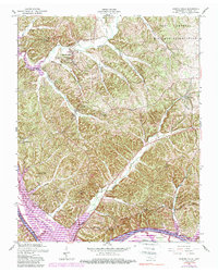
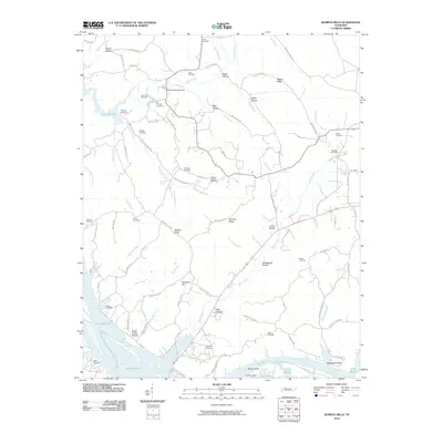
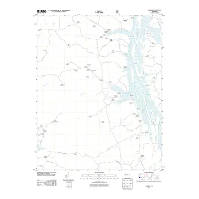
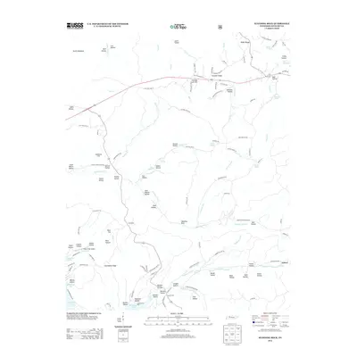
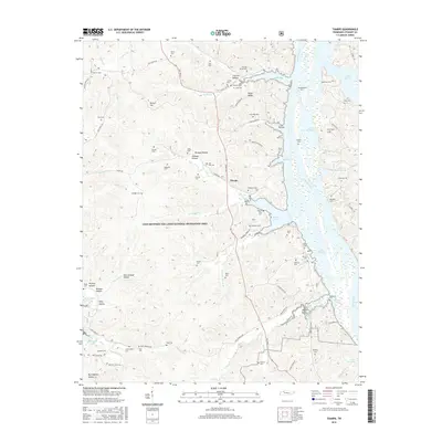
1957 Map of Tharpe
USGS Topo · Published 1980About this map
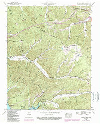
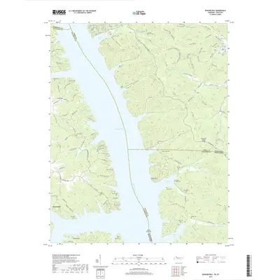
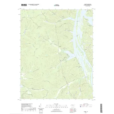
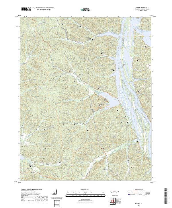
The Divide Between Tennessee Valley and Cumberland River Valley dominates this landscape, defining a ridge system where numerous hollows and creeks descend toward two major waterways. On the western edge, Kentucky Lake reaches into the terrain via Panther Bay and Dry Fork Bay, while the eastern side is defined by the Cumberland River and the subsequent formation of Lake Barkley. The small settlement of Tharpe sits centrally, surrounded by a dense network of family cemeteries that speak to the deep genealogical roots of Stewart County.
Find a feature on this map
63 named features on this map. Tap any name to fly to it.
Don’t see what you’re looking for? This feature index may not catch every label — zoom into the map to look around manually.
Map Details
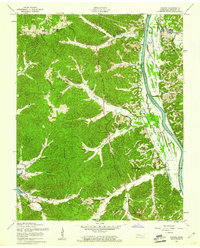
Editions of this 1957 Tharpe Map
2 editions found
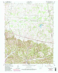
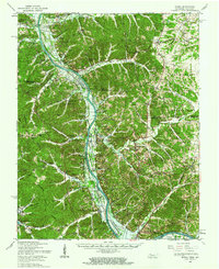
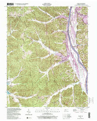
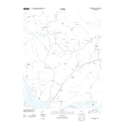
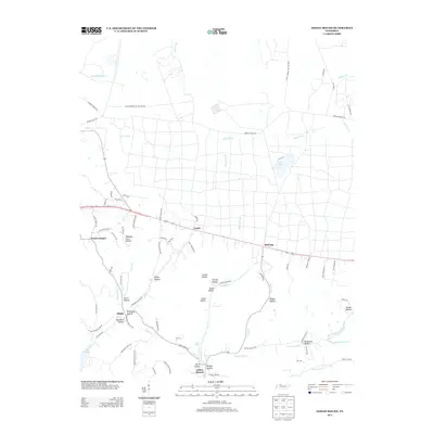
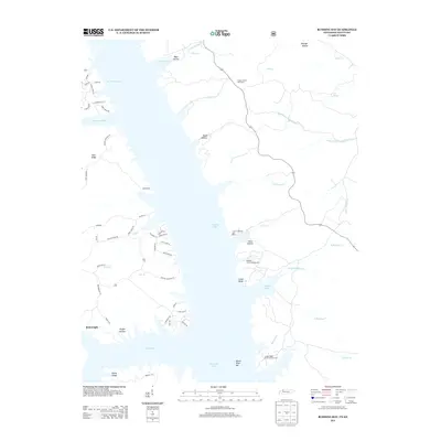
Historical Maps of Stewart County Through Time
36 maps found
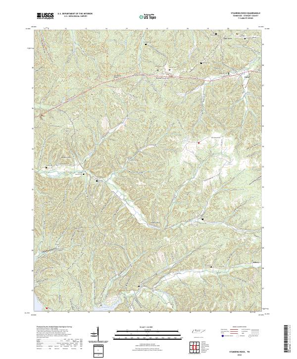
1936 Standing Rock
Stewart County, TN
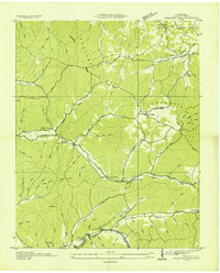
1936 Tharpe
Stewart County, TN
1950 Standing Rock
Stewart County, TN
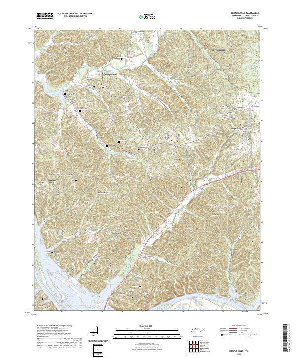
1951 Bumpus Mills
Stewart County, TN
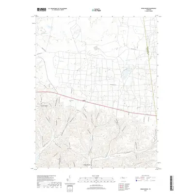
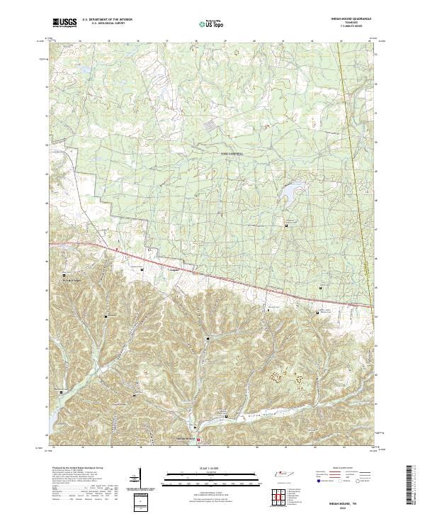
1951 Indian Mound
Stewart County, TN
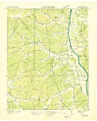
1951 Tharpe
Stewart County, TN
1957 Bumpus Mills
Stewart County, TN
1957 Indian Mound
Stewart County, TN
1957 Model
Stewart County, TN
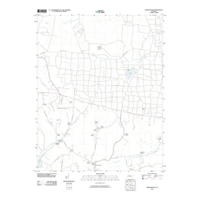
1957 Tharpe
Stewart County, TN
1999 Tharpe
Stewart County, TN
2010 Bumpus Mills
Stewart County, TN
2010 Indian Mound
Stewart County, TN
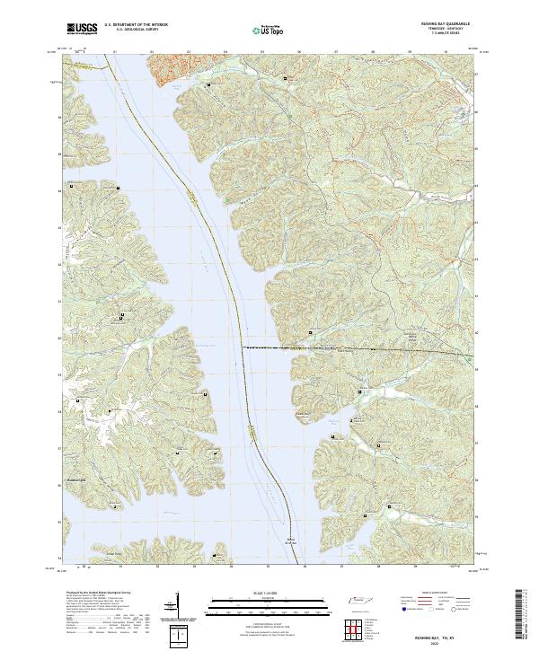
2011 Rushing Bay
Stewart County, TN
2011 Standing Rock
Stewart County, TN
2011 Tharpe
Stewart County, TN
2013 Bumpus Mills
Stewart County, TN
2013 Indian Mound
Stewart County, TN
2013 Rushing Bay
Stewart County, TN
2013 Standing Rock
Stewart County, TN
2013 Tharpe
Stewart County, TN
2016 Bumpus Mills
Stewart County, TN
2016 Indian Mound
Stewart County, TN
2016 Rushing Bay
Stewart County, TN
2016 Standing Rock
Stewart County, TN
2016 Tharpe
Stewart County, TN
2019 Bumpus Mills
Stewart County, TN
2019 Indian Mound
Stewart County, TN
2019 Rushing Bay
Stewart County, TN
2019 Standing Rock
Stewart County, TN
2019 Tharpe
Stewart County, TN
2022 Bumpus Mills
Stewart County, TN
2022 Indian Mound
Stewart County, TN
2022 Rushing Bay
Stewart County, TN
2022 Standing Rock
Stewart County, TN
2022 Tharpe
Stewart County, TN