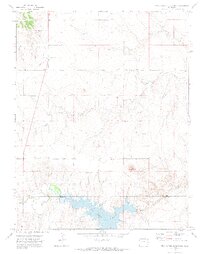
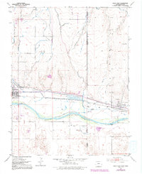
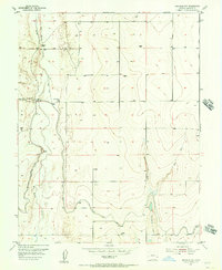
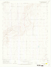
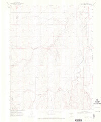
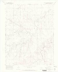
1971 Map of Two Buttes Reservoir
USGS Topo · Published 1973This historical map portrays the area of Two Buttes Reservoir in 1971, primarily covering Prowers County as well as portions of Baca County. Featuring a scale of 1:24000, this map provides a highly detailed snapshot of the terrain, roads, buildings, counties, and historical landmarks in the Two Buttes Reservoir region at the time. Published in 1973, it is one of 2 known editions of this map due to revisions or reprints.
Find a feature on this map
15 named features on this map. Tap any name to fly to it.
Don’t see what you’re looking for? This feature index may not catch every label — zoom into the map to look around manually.
Map Details
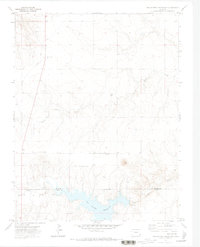
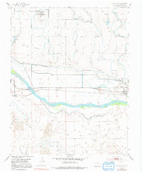
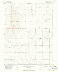
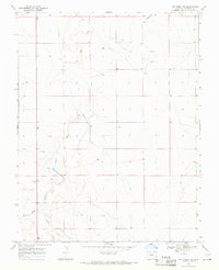
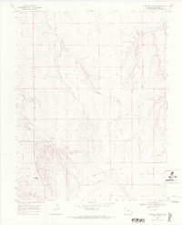
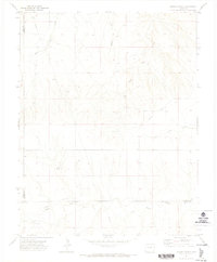
Editions of this 1971 Two Buttes Reservoir Map
2 editions found
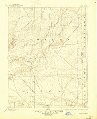
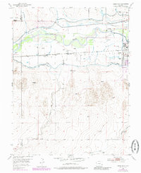
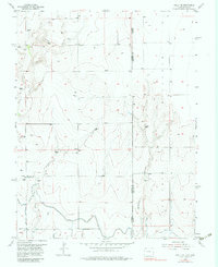
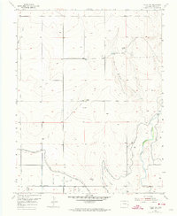
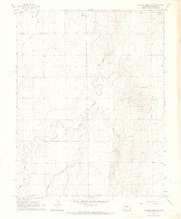
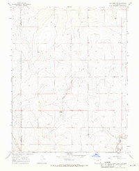
Historical Maps of Prowers County Through Time
31 maps found

1891 Albany
Prowers County, CO
1893 Albany
Prowers County, CO

1952 Carlton
Prowers County, CO
1952 Lamar West
Prowers County, CO
1953 Holly East
Prowers County, CO
1953 Holly West
Prowers County, CO
1953 Lamar East
Prowers County, CO
1955 Granada NE
Prowers County, CO
1955 Granada NW
Prowers County, CO
1955 Holly NE
Prowers County, CO
1955 Holly NW
Prowers County, CO

1955 May Valley
Prowers County, CO

1966 Durkee Creek NE
Prowers County, CO
1966 Durkee Creek NW
Prowers County, CO

1966 Durkee Creek SE
Prowers County, CO
1966 Two Butte Springs
Prowers County, CO
1968 Barrel Spring
Prowers County, CO
1968 Cat Creek NE
Prowers County, CO
1968 Cat Creek NW
Prowers County, CO
1968 Cat Creek
Prowers County, CO
1968 Gobblers Knob
Prowers County, CO
1968 North Plum Creek NE
Prowers County, CO
1968 North Plum Creek NW
Prowers County, CO
1968 North Plum Creek SE
Prowers County, CO
1971 Hasser Ranch
Prowers County, CO

1971 Lycan NE
Prowers County, CO
1971 Plains Community
Prowers County, CO
1971 Two Buttes NW
Prowers County, CO
1971 Two Buttes Reservoir
Prowers County, CO

1971 Webb
Prowers County, CO

1984 Two Buttes Reservoir
Prowers County, CO