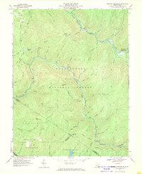
1967 Map of Webster Springs SW
USGS Topo · Published 1970About this map
Monongahela National Forest dominates this highland region where the Williams River and Cranberry River carve through high ridges. In the late 1960s, this area of Webster and Nicholas counties remained largely undeveloped, characterized by a network of trails and primitive roads accessing prominent summits like Red Oak Knob, which features lookout towers, and Bishop Knob. The mapping captures the intersection of three counties, including a portion of Greenbrier Co at the southern edge near Richwood. For genealogists and local historians, the sheet preserves the locations of the Mills Mtn Ch and a small Cem on Mills Mtn. The landscape is dotted with early forest service infrastructure, including the Cranberry Campground and remote outposts like the Pleasant Hollow Camping Shelter and Dogway Camping Shelter along the river forks.
Find a feature on this map
55 named features on this map. Tap any name to fly to it.
Don’t see what you’re looking for? This feature index may not catch every label — zoom into the map to look around manually.
Map Details
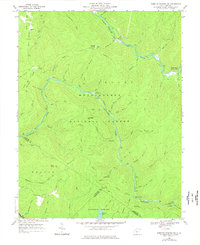
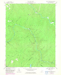
Editions of this 1967 Webster Springs SW Map
Other maps of this area

1889 · Nicholas
USGS Topo · 1:125,000

1891 · Nicholas
USGS Topo · 1:125,000

1891 · Huntersville
USGS Topo · 1:125,000

1894 · Huntersville
USGS Topo · 1:125,000

1901 · Nicholas
USGS Topo · 1:125,000

1915 · Webster Springs
USGS Topo · 1:48,000

1915 · Cowen
USGS Topo · 1:48,000

1917 · Cowen
USGS Topo · 1:62,500

1918 · Webster Springs
USGS Topo · 1:62,500

1918 · Richwood
USGS Topo · 1:62,500