2020s Maps of Miami-Dade County, Florida
Explore 84 historic maps of Miami-Dade County from the 2020s. These maps offer a rare glimpse into what life looked like during the 2020s — showing old roads, neighborhoods, homes, and landmarks that have changed or disappeared over time.
Whether you're researching your family's past, planning a metal detecting trip, or studying how Miami-Dade County's landscape evolved across the 2020s, these high-resolution maps are a powerful tool for exploring the history of this region.
- Focus on a specific era: All maps on this page are from the 2020s, giving you a focused view of this time period.
- See what’s changed: Compare century-old streets, trails, and buildings to today's modern landscape using overlays and satellite layers.
- Research with precision: Use these maps for genealogy, historical research, land use analysis, or educational projects.
- View, download, or print: Maps are fully viewable online in high resolution, and can be downloaded or printed for your own records.
Start exploring Miami-Dade County's history through authentic maps from the 2020s. This is your window into the past.
Miami-Dade County, FL maps
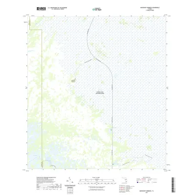
(84)- 2021 Map of Custard Apple Hammock, 2021 Print
 2021 Custard Apple Hammock2021 Print · USGSCovers Miami-Dade County, including Broward County, United States, and other nearby areas
 - 2021 Map of Pennsuco, 2021 Print
 2021 Pennsuco2021 Print · USGSCovers Miami-Dade County, including Medley, Pennsuco, and other nearby areas
 - 2021 Map of South of Coopertown, 2021 Print
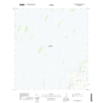 2021 South of Coopertown2021 Print · USGSCovers Miami-Dade County, including United States, Florida, and other nearby areas
 - 2021 Map of West Lake, 2021 Print
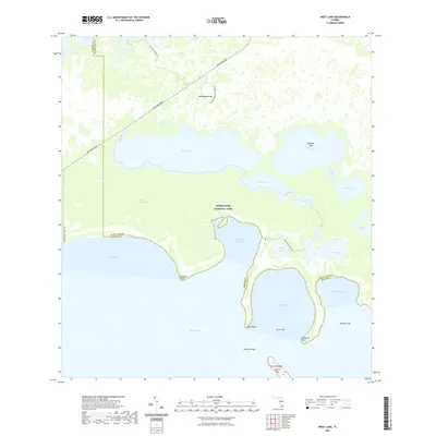 2021 West Lake2021 Print · USGSCovers Miami-Dade County, including Monroe County, United States, and other nearby areas
 - 2021 Map of Grossman Hammock, 2021 Print
 2021 Grossman Hammock2021 Print · USGSCovers Miami-Dade County, including United States, Florida, and other nearby areas
 - 2021 Map of Chekika Island, 2021 Print
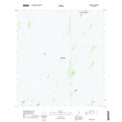 2021 Chekika Island2021 Print · USGSCovers Miami-Dade County, including United States, Florida, and other nearby areas
 - 2021 Map of Joe Bay, 2021 Print
 2021 Joe Bay2021 Print · USGSCovers Miami-Dade County, including Monroe County, United States, and other nearby areas
 - 2021 Map of Perrine, 2021 Print
 2021 Perrine2021 Print · USGSCovers Miami-Dade County, including Cutler Bay, Palmetto Bay, and other nearby areas
 - 2021 Map of Madeira Bay, 2021 Print
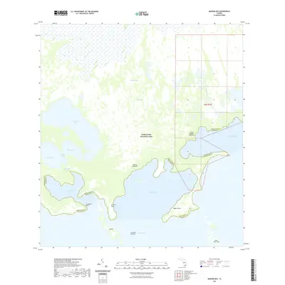 2021 Madeira Bay2021 Print · USGSCovers Miami-Dade County, including Monroe County, United States, and other nearby areas
 - 2021 Map of Panther Mound, 2021 Print
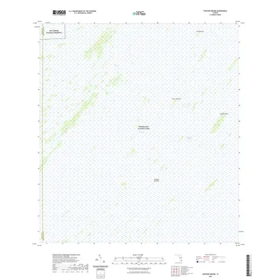 2021 Panther Mound2021 Print · USGSCovers Miami-Dade County, including Tenmile Corner, Monroe County, and other nearby areas
 - 2021 Map of North of Fortymile Bend, 2021 Print
 2021 North of Fortymile Bend2021 Print · USGSCovers Miami-Dade County, including Broward County, Collier County, and other nearby areas
 - 2021 Map of Goulds, 2021 Print
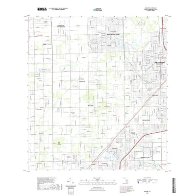 2021 Goulds2021 Print · USGSCovers Miami-Dade County, including Princeton, Goulds, and other nearby areas
 - 2021 Map of West of Pennsuco, 2021 Print
 2021 West of Pennsuco2021 Print · USGSCovers Miami-Dade County, including Broward County, United States, and other nearby areas
 - 2021 Map of Long Pine Key, 2021 Print
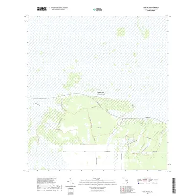 2021 Long Pine Key2021 Print · USGSCovers Miami-Dade County, including United States, Florida, and other nearby areas
 - 2021 Map of Black Hammock, 2021 Print
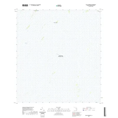 2021 Black Hammock2021 Print · USGSCovers Miami-Dade County, including United States, Florida, and other nearby areas
 - 2021 Map of Shark Valley Lookout Tower, 2021 Print
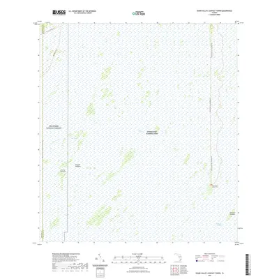 2021 Shark Valley Lookout Tower2021 Print · USGSCovers Miami-Dade County, including Pops Hammock Seminole Village, Monroe County, and other nearby areas
 - 2021 Map of Taylor Slough, 2021 Print
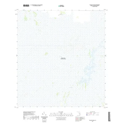 2021 Taylor Slough2021 Print · USGSCovers Miami-Dade County, including United States, Florida, and other nearby areas
 - 2021 Map of Card Sound, 2021 Print
 2021 Card Sound2021 Print · USGSCovers Miami-Dade County, including Carysfort Yacht Harbor, Florida Home, and other nearby areas
 - 2021 Map of Pa-Hay-Okee Lookout Tower, 2021 Print
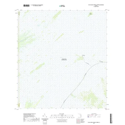 2021 Pa-Hay-Okee Lookout Tower2021 Print · USGSCovers Miami-Dade County, including Monroe County, United States, and other nearby areas
 - 2021 Map of Mahogany Hammock, 2021 Print
 2021 Mahogany Hammock2021 Print · USGSCovers Miami-Dade County, including Monroe County, United States, and other nearby areas
 - 2021 Map of Miami OE E, 2021 Print
 2021 Miami OE E2021 Print · USGSCovers Miami-Dade County, including Miami Beach, Surfside, and other nearby areas
 - 2021 Map of Arsenicker Keys, 2021 Print
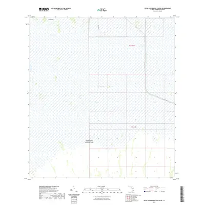
 2021 Arsenicker Keys2021 Print · USGSCovers Miami-Dade County, including Sponge Rocks, Cutter Bank, and other nearby areas
 - 2021 Map of Royal Palm Ranger Station SE, 2021 Print
 2021 Royal Palm Ranger Station SE2021 Print · USGSCovers Miami-Dade County, including United States, Florida, and other nearby areas
 - 2021 Map of Fortymile Bend, 2021 Print
 2021 Fortymile Bend2021 Print · USGSCovers Miami-Dade County, including Miccosukee Indian Village, Smallpox Tommies Old Place, and other nearby areas
 - 2021 Map of South Miami NW, 2021 Print
 2021 South Miami NW2021 Print · USGSCovers Miami-Dade County, including Kendall, Calusa Manor, and other nearby areas
Showing maps 1-25 of 84
Top cities of Miami-Dade County
- Miami historical maps
- Hialeah historical maps
- Kendall historical maps
- Miami Gardens historical maps
- Miami Beach historical maps
- Homestead historical maps
See more
Frequently asked questions
- What are the different types of historical maps available for Miami-Dade County?
- What is the oldest map of Miami-Dade County?
- Where can I purchase historical maps of Miami-Dade County for my home or office?
- Where can I download high-res historical maps of Miami-Dade County?
- Are there historical topographic maps available for Miami-Dade County?
- Is there historical aerial imagery available for Miami-Dade County?
- Where are historical maps of Miami-Dade County sourced from?