1980s Maps of Louisiana
Explore 451 historic maps of Louisiana from the 1980s. These maps offer a rare glimpse into what life looked like during the 1980s — showing old roads, neighborhoods, homes, and landmarks that have changed or disappeared over time.
Whether you're researching your family's past, planning a metal detecting trip, or studying how Louisiana's landscape evolved across the 1980s, these high-resolution maps are a powerful tool for exploring the history of this region.
- Focus on a specific era: All maps on this page are from the 1980s, giving you a focused view of this time period.
- See what’s changed: Compare century-old streets, trails, and buildings to today's modern landscape using overlays and satellite layers.
- Research with precision: Use these maps for genealogy, historical research, land use analysis, or educational projects.
- View, download, or print: Maps are fully viewable online in high resolution, and can be downloaded or printed for your own records.
Start exploring Louisiana's history through authentic maps from the 1980s. This is your window into the past.
Louisiana maps
(451)- 1980 Map of Bayou Pierre Lake
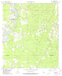
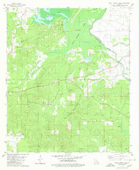 1980 Bayou Pierre Lake1980 Print · USGSDe Soto and Red River Parishes are shown in the late 1970s, where an expansive oil and gas field meets the winding bayous. Researchers can locate family landmarks like Rock Chapel, Bethlehem Cemetery, and the settlement of Naborton.2 unique versions available
 - 1980 Map of Shreveport East
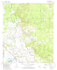
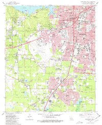
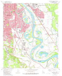 1980 Shreveport East1980 Print · USGSThe riverfront and expanding suburbs of Shreveport and Bossier City are captured here during the late 1970s. Researchers can trace local landmarks like Centenary College, Red River Cem, and the development of Anderson Island.3 unique versions available
 - 1980 Map of Mansfield
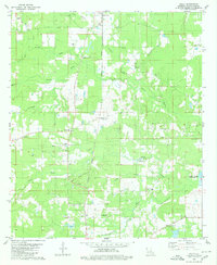
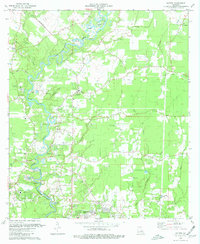
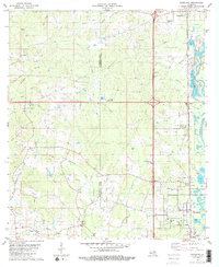
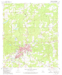 1980 Mansfield1980 Print · USGSDe Soto Parish centers on the rail-served town of Mansfield during the early 1980s, revealing a community balanced between its industrial roots and its preserved heritage. Genealogists and historians can trace family locations at St Elizabeth Cem, Patricio, and the Mansfield Battle Memorial Park.
 - 1980 Map of Catfish Lake
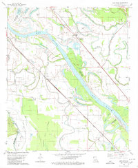
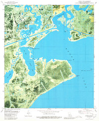
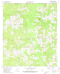
 1980 Catfish Lake1980 Print · USGSCoastal marshlands and isolated ridges define this 1980s Cameron Parish landscape where the Mermentau River meets the Gulf wetlands. Researchers can trace remote outposts like Little Pecan Island and the Little Pecan Island Landing Strip among the intricate bayous.
 - 1980 Map of Elm Grove
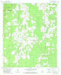
 1980 Elm Grove1980 Print · USGSThe Red River bottomlands near the Bossier-Caddo Parish line are shown here in the late seventies, where river bends and bayous dictate the local geography. Genealogists can locate rural landmarks like Mechanicsville, George Washington Carver School, and the Mt Pleasant Church near Lachute.2 unique versions available
 - 1980 Map of Wallace Lake
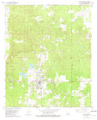
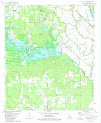 1980 Wallace Lake1980 Print · USGSNorthwest Louisiana in the late seventies is captured here at the junction of Caddo and De Soto Parishes. Trace the rail lines of the Kansas City Southern or locate old community centers like Frierson, St Elizabeth Ch, and Antioch Cem.2 unique versions available
 - 1980 Map of Grand Chenier
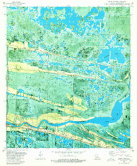 1980 Grand Chenier1980 Print · USGSCoastal Louisiana in the late seventies is captured here, showing the narrow strips of high ground that supported generations of marsh residents. Genealogists can locate family landmarks like Doxey Cem, St James Ch, and the Grand Chenier Sch.2 unique versions available
 - 1980 Map of Clear Lake
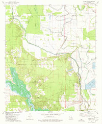 1980 Clear Lake1980 Print · USGSLouisiana's bayou country is captured here in the 1970s, showing a transition between the Red River wetlands and local industry. Genealogists can locate family landmarks like Star Point, the New Friendship Cem, and Red Lake Ch.2 unique versions available
 - 1980 Map of Harmon
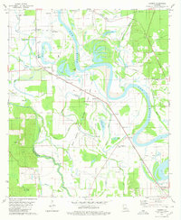 1980 Harmon1980 Print · USGSThe Red River valley at the start of the 1980s reveals a landscape of industrial gas wells and traditional river settlements. Researchers can trace family history at Taylor Cem and Gahagan or locate old rail landmarks along the Kansas City Southern.
 - 1980 Map of Lake Misere
 1980 Lake Misere1980 Print · USGSThe marshlands of Cameron Parish in the early eighties show a landscape defined by wildlife conservation and energy extraction. Trace the intersection of the Intracoastal Waterway and the Lacassine National Wildlife Refuge near Lake Misere.
 - 1980 Map of Holly
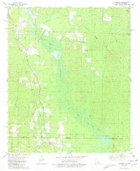
 1980 Holly1980 Print · USGSDe Soto Parish in the late 1970s was a landscape where old plantation heritage met the modern energy industry. Researchers can trace the Kansas City Southern rail line to find Lands End Plantation, the Holly Gas and Oil Field, and St Marks Cem.2 unique versions available
 - 1980 Map of Sligo
 1980 Sligo1980 Print · USGSThe Red River floodplain southeast of Bossier City comes into focus during the late 1970s as a landscape of military reserves and active oil fields. You can trace family roots at Oakland Cem and Mayflower Cem, or locate landmarks in Sligo and Taylortown.
 - 1980 Map of Latania Lake
 1980 Latania Lake1980 Print · USGSCameron Parish in the late seventies is captured here as a working landscape of coastal marshes and energy infrastructure. Genealogists and environmental researchers can trace the winding course of Bayou Lacassine past Lacassine Point or locate family-named landmarks like Latania Hill and Cypress Ridge.2 unique versions available
 - 1980 Map of Hall Summit
 1980 Hall Summit1980 Print · USGSThe rural landscape around Hall Summit and Martin is documented here as it appeared in the late 1970s. Genealogists and local historians can trace legacy sites like Mt Zion Cem, New Light Ch, and the workings of the Coushatta Oil Field.
 - 1980 Map of Kentwood, 1981 Print
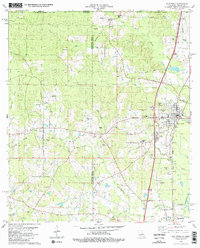 1980 Kentwood1981 Print · USGSKentwood and Tangipahoa appear during the early 1980s as the railroad and timber landscape of the Louisiana-Mississippi line remains firmly established. Researchers can find dozens of family burial sites like Westmoreland Cem and the Camp Moore Confederate Cem.2 unique versions available
 - 1980 Map of Pride, 1981 Print
 1980 Pride1981 Print · USGSThe rural parishes north of Baton Rouge are documented here in the early eighties as the gravel industry expanded along the Amite River. Genealogists can trace family roots through numerous sites like Mahoney Cem, South Union Cem, and the Pride Lookout Tower.
 - 1980 Map of North Highlands, 1981 Print
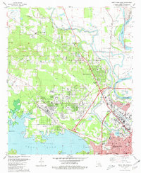 1980 North Highlands1981 Print · USGSShreveport and North Highlands are shown in a period of significant suburban and industrial expansion in the early eighties. Genealogists and local historians can locate many community landmarks, including Walker Hill Cem, Southern University, and St Luke Ch.3 unique versions available
 - 1980 Map of Satsuma, 1981 Print
 1980 Satsuma1981 Print · USGSLivingston Parish in the late seventies is captured here as a landscape of rural churches and family cemeteries connected by an extensive network of creeks. Researchers can trace the Illinois Central Gulf Railroad Grade or locate historic sites like Salem Cem, Sibley Cem, and the Livingston Lookout Tower.
 - 1980 Map of Pine Grove, 1981 Print
 1980 Pine Grove1981 Print · USGSParish life in the early eighties centers on the riverbanks and timberlands near Pine Grove. Genealogists and researchers can trace family landmarks like Mt Pleasant Ch Cem and Grangeville or follow the path of the Old Railroad Grade.
 - 1980 Map of Shreveport West, 1981 Print
 1980 Shreveport West1981 Print · USGSShreveport and the Caddo Parish suburbs are captured here during a period of significant westward growth. Genealogists and local historians can trace family plots across Forest Park West Cemetery or locate community anchors like Summer Grove and Union Mission Church.2 unique versions available
 - 1980 Map of Watson, 1981 Print
 1980 Watson1981 Print · USGSSettlements along the Amite River corridor thrived in the late seventies as rural communities like Watson and Greenwell Springs expanded. Researchers can find old family cemeteries like Newsom Cem and significant local landmarks like the Indian Mound.
 - 1981 Map of Liverpool
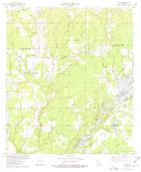
 1981 Liverpool1981 Print · USGSThe rural borderlands of St. Helena Parish come to life in the early 1980s, where small settlements sit amidst a network of naming-rich creeks and timber tracks. Genealogists can trace family legacies at Old Venable Cem, Bates Cem, and New Zion Sch.
 - 1981 Map of Roseland
 1981 Roseland1981 Print · USGSTangipahoa Parish enters the 1980s with a landscape defined by the Illinois Central Gulf railroad and the Tangipahoa River. Researchers can trace the footprints of Roseland and Arcola, locating the Arcola-Roseland Cem and Fluker Chapel.2 unique versions available
 - 1981 Map of Lockhart
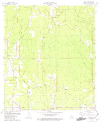
 1981 Lockhart1981 Print · USGSThe Arkansas-Louisiana borderlands in the early eighties were defined by petroleum extraction and quiet rural parishes. Genealogists can trace the location of community centers like Lockhart and family-named sites such as Hillsboro Cem and Olive Branch Ch.
 - 1981 Map of Plain Dealing
 1981 Plain Dealing1981 Print · USGSNorthern Bossier Parish in the early eighties shows a landscape of active extraction and deep-rooted community settlements. Genealogists and historians can trace the positions of Union Chapel Cem, Macedonia Ch, and the small settlement of Lela along the rail line.
Showing maps 1-25 of 451
Top cities of Louisiana
- New Orleans historical maps
- Baton Rouge historical maps
- Shreveport historical maps
- Metairie historical maps
- Lafayette historical maps
- Saint George historical maps
See more
Top parishes of Louisiana
- Jefferson Parish historical maps
- Orleans Parish historical maps
- Caddo Parish historical maps
- St. Tammany Parish historical maps
- Lafayette Parish historical maps
- Calcasieu Parish historical maps
See more
Frequently asked questions
- What are the different types of historical maps available for Louisiana?
- What is the oldest map of Louisiana?
- Where can I purchase historical maps of Louisiana for my home or office?
- Where can I download high-res historical maps of Louisiana?
- Are there historical topographic maps available for Louisiana?
- Is there historical aerial imagery available for Louisiana?
- Where are historical maps of Louisiana sourced from?