2020s Maps of Louisiana
Explore 1,827 historic maps of Louisiana from the 2020s. These maps offer a rare glimpse into what life looked like during the 2020s — showing old roads, neighborhoods, homes, and landmarks that have changed or disappeared over time.
Whether you're researching your family's past, planning a metal detecting trip, or studying how Louisiana's landscape evolved across the 2020s, these high-resolution maps are a powerful tool for exploring the history of this region.
- Focus on a specific era: All maps on this page are from the 2020s, giving you a focused view of this time period.
- See what’s changed: Compare century-old streets, trails, and buildings to today's modern landscape using overlays and satellite layers.
- Research with precision: Use these maps for genealogy, historical research, land use analysis, or educational projects.
- View, download, or print: Maps are fully viewable online in high resolution, and can be downloaded or printed for your own records.
Start exploring Louisiana's history through authentic maps from the 2020s. This is your window into the past.
Louisiana maps
(1,827)- 2020 Map of Walkerville, 2020 Print
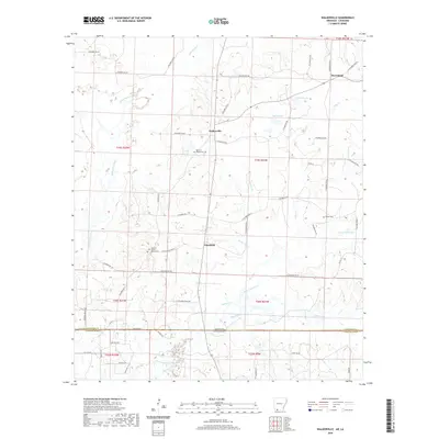 2020 Walkerville2020 Print · USGSThe Arkansas-Louisiana borderlands come into focus in this recent survey of Columbia County. Genealogists and local historians can trace family locations near Walkerville and Plainfield, or locate rural landmarks like the Western Baptist Church Cem and Glover Cem.
 - 2020 Map of Emerson, 2020 Print
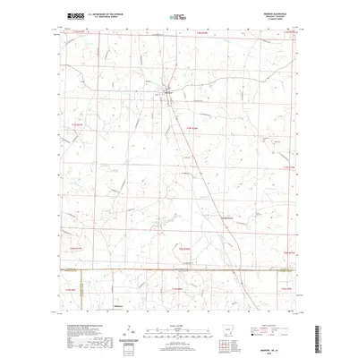 2020 Emerson2020 Print · USGSThe Arkansas-Louisiana state line is captured here in the years following the millennium, documenting the rural communities of Columbia County. Researchers can trace local heritage through sites like Anderson Cem and the small town centers of Emerson and Millerton.
 - 2020 Map of Emerson SE, 2020 Print
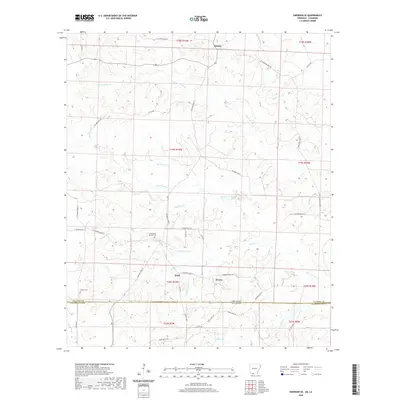 2020 Emerson SE2020 Print · USGSThe rural border between Arkansas and Louisiana is captured here in the years before 2020, centered on the community of Atlanta. Genealogists and local historians can trace family land and landmarks near Chalybeate Springs Cem, Traylor Cem, and the waters of Little Corney Cr.
 - 2020 Map of Bradley, 2020 Print
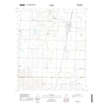 2020 Bradley2020 Print · USGSThis southwestern Arkansas landscape at the Louisiana border reveals a rural network of bayous and border towns. Genealogists can trace family footprints at Walnut Hill Cem, Saint Mary Cem, and the historic settlements of Bradley and Arkana.
 - 2020 Map of Bradley SE, 2020 Print
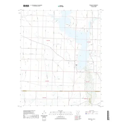 2020 Bradley SE2020 Print · USGSThe Arkansas and Louisiana borderlands are captured here in 2020, showing a landscape defined by the waters of Lake Erling. Researchers can trace the rural road network and wetland boundaries along Bodcau Cr, Dooley Cr, and Walker Cr.
 - 2020 Map of Doddridge SE, 2020 Print
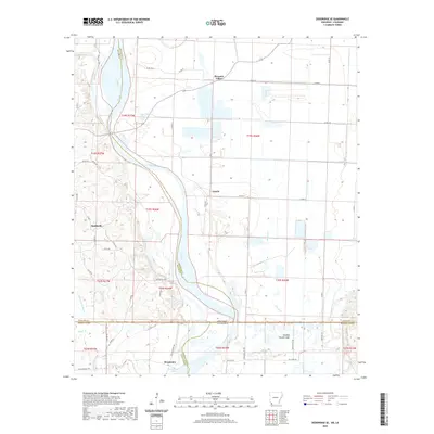 2020 Doddridge SE2020 Print · USGSThe borderlands of Arkansas and Louisiana are mapped here in the early twenty-first century, showing the winding Red River valley. Genealogists and local historians can locate rural landmarks like Blanton Cem, the settlement of Missionary, and the waters of Missionary Lake.
 - 2020 Map of Taylor, 2020 Print
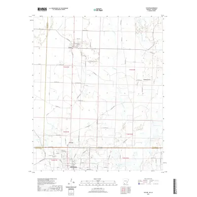 2020 Taylor2020 Print · USGSThe Arkansas-Louisiana state line divides this border region as it appeared in recent years, connecting the communities of Taylor and Springhill. Genealogists and local historians can trace the area's geography through Springhill Cem and the banks of Bayou Dorcheat.
 - 2020 Map of Doddridge, 2020 Print
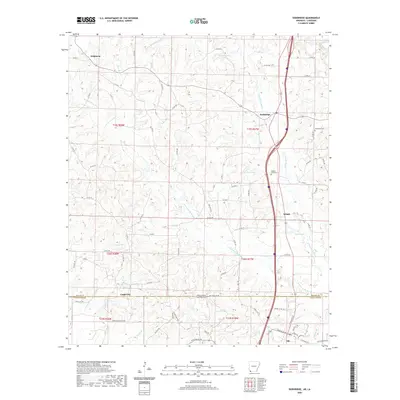 2020 Doddridge2020 Print · USGSThe Arkansas-Louisiana borderlands come into focus here in the years before 2020, showing a landscape shaped by the Kelly Bayou watershed. Researchers can trace rural settlements from Brightstar down to Ida, while locating family sites near New Hope Cem and Jones Lake.
 - 2020 Map of Ravanna, 2020 Print
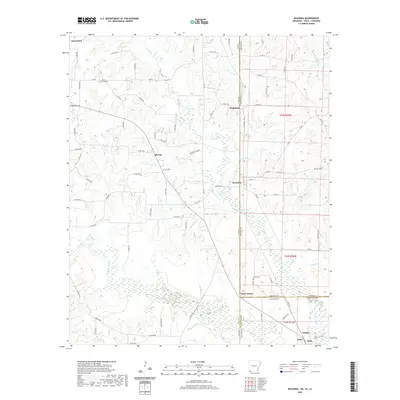 2020 Ravanna2020 Print · USGSThe tri-state junction of Texas, Arkansas, and Louisiana comes into focus in this recent survey of the Ark-La-Tex borderlands. Genealogists and local historians can trace family roots through rural communities like Ravanna and Three States or locate burial sites at Beech Creek Cem and Brown Cem.
 - 2020 Map of Crossett South, 2020 Print
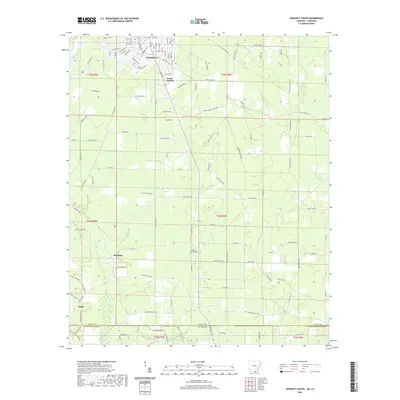 2020 Crossett South2020 Print · USGSThe Arkansas-Louisiana borderlands come into focus in this recent survey of the timber country south of Crossett. Genealogists and local historians can trace rural landmarks like Hickory Grove Cemetery, Meridian, and the small settlement of White.
 - 2020 Map of Empire, 2020 Print
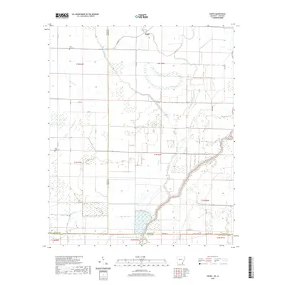 2020 Empire2020 Print · USGSThe Arkansas-Louisiana borderlands in the early twenty-first century are defined by the winding Boeuf River and a deep network of delta bayous. Researchers can locate the settlement of Empire and trace family heritage at Millers Chapel Cem or Green Grove Cem.
 - 2020 Map of Eudora South, 2020 Print
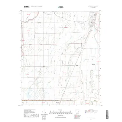 2020 Eudora South2020 Print · USGSThe Arkansas-Louisiana state line south of Eudora comes to life in this recent survey of the Delta borderlands. Genealogists and local historians can locate Mount Carmel Cemetery, trace the course of Bayou Macon, and find the rural community of Indian.
 - 2020 Map of Berlin, 2020 Print
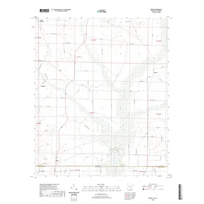 2020 Berlin2020 Print · USGSThe Arkansas-Louisiana borderlands come into focus in this recent survey of the timberlands where Ashley County meets Morehouse Parish. Researchers can trace rural settlement patterns at Berlin and Geddie or locate historical points like Extra Cem and the rail junction at Rolfe Junction.
 - 2020 Map of Wilmot SW, 2020 Print
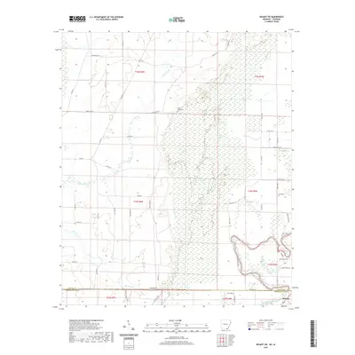 2020 Wilmot SW2020 Print · USGSThe Arkansas-Louisiana borderlands come into focus in this recent survey of the Bayou Bartholomew corridor. Researchers can trace rural lineages through local landmarks like Poley Bridge Cem, Harris Cem, and the quiet settlement of McGinty.
 - 2020 Map of Wesson SW, 2020 Print
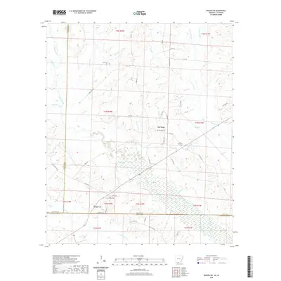 2020 Wesson SW2020 Print · USGSThe Arkansas-Louisiana borderlands come into focus in 2020, showing a landscape defined by creeks and rural settlements. Genealogists can trace family connections at Union ARC Church Cem, New Hope Cem, and Salem Cem.
 - 2020 Map of Huttig, 2020 Print
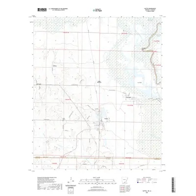 2020 Huttig2020 Print · USGSThe Arkansas-Louisiana state line comes alive in this survey of the Ouachita River borderlands during the early twenty-first century. Researchers can trace local heritage through sites like Old Lapile Cem, Twenty Acre Millpond, and the settlement at Dollar Junction.
 - 2020 Map of Junction City, 2020 Print
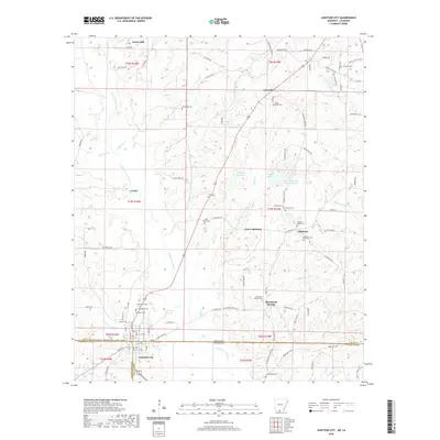 2020 Junction City2020 Print · USGSJunction City sits squarely on the Arkansas-Louisiana line in the early twenty-first century, surrounded by the creeks and bayous of the piney woods. Genealogists can locate family burial sites like Meek Family Cem, Cobb Cem, and Morgan-Wade Cem among the settlements of Caledonia and Cornie.
 - 2020 Map of Wesson, 2020 Print
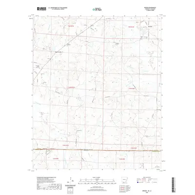 2020 Wesson2020 Print · USGSThe Arkansas-Louisiana state line defines the southern edge of this territory during the early twenty-first century. Genealogists and local historians can trace legacy sites like Three Creeks Baptist Church Cem, Wesson Cem, and Macedonia Cem.
 - 2020 Map of Strong, 2020 Print
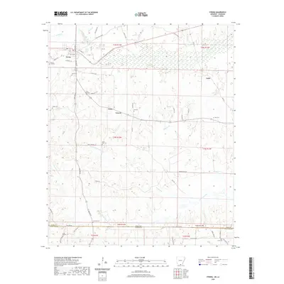 2020 Strong2020 Print · USGSCrossing the Arkansas and Louisiana state line, this recent study shows the rural landscape of Union County. Genealogists can trace family heritage through numerous burial grounds like Pilgrims Rest Cem, Strong Cem, and Good Hope Cem.
 - 2020 Map of Gardner, 2020 Print
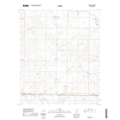 2020 Gardner2020 Print · USGSThe Arkansas-Louisiana state line bisects this quiet border region at the turn of the decade, following the route of State Line Rd. Genealogists can trace family roots through several rural burial grounds like Pine Grove Cem, Forest Hill Cem, and the community of Aurelle.
 - 2020 Map of Readland, 2020 Print
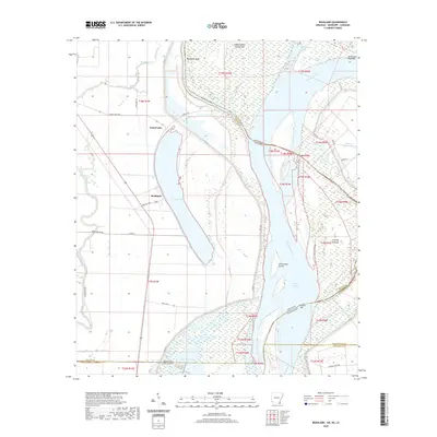 2020 Readland2020 Print · USGSThe Arkansas-Mississippi-Louisiana border region comes into sharp focus during this modern survey of the river's alluvial plain. Researchers can trace the shifting river channel through Matthews Bend, the settlement at Readland, and remote backwaters like Gassoway Lake.
 - 2020 Map of Felsenthal Dam, 2020 Print
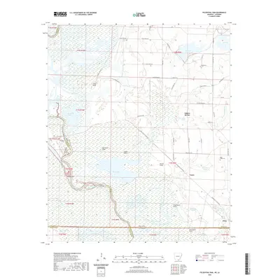 2020 Felsenthal Dam2020 Print · USGSThe river bottomlands of southern Arkansas meet the Louisiana border in this 2020 topographic study. Researchers can trace the path of the Union Pacific RR Tram Rd or locate historic burial sites like Macedonian Cem and Boyd-Hedge Cem.
 - 2020 Map of Wilmot, 2020 Print
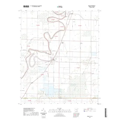 2020 Wilmot2020 Print · USGSThe Arkansas-Louisiana borderlands come into focus in 2020 as the winding Bayou Bartholomew snakes through the rich delta soil. Researchers can trace the local landscape through Wilmot Cem, the Johnson Memorial Airport, and the agricultural networks around Wilmot and Kimball.
 - 2020 Map of Logansport West, 2020 Print
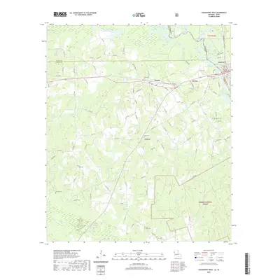 2020 Logansport West2020 Print · USGSThe Texas-Louisiana borderlands come into focus in the early twenty-first century as the Sabine River feeds into the Toledo Bend Reservoir. Researchers can trace old family lineages through numerous local burial grounds like Brookland Cem and Jackson Cem.
 - 2020 Map of Trees, 2020 Print
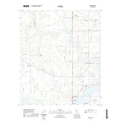 2020 Trees2020 Print · USGSThe Texas-Louisiana borderlands come into focus in this recent survey of the bayous and settlements northwest of Shreveport. Genealogists can locate numerous small burial grounds such as Core Cem African American and Gray Cem near the community of Trees.
Showing maps 1-25 of 1,827
Top cities of Louisiana
- New Orleans historical maps
- Baton Rouge historical maps
- Shreveport historical maps
- Metairie historical maps
- Lafayette historical maps
- Saint George historical maps
See more
Top parishes of Louisiana
- Jefferson Parish historical maps
- Orleans Parish historical maps
- Caddo Parish historical maps
- St. Tammany Parish historical maps
- Lafayette Parish historical maps
- Calcasieu Parish historical maps
See more
Frequently asked questions
- What are the different types of historical maps available for Louisiana?
- What is the oldest map of Louisiana?
- Where can I purchase historical maps of Louisiana for my home or office?
- Where can I download high-res historical maps of Louisiana?
- Are there historical topographic maps available for Louisiana?
- Is there historical aerial imagery available for Louisiana?
- Where are historical maps of Louisiana sourced from?