2000-2009 Maps of Louisiana
Explore 76 historic maps of Louisiana from 2000-2009. These maps offer a rare glimpse into what life looked like during the 2000s — showing old roads, neighborhoods, homes, and landmarks that have changed or disappeared over time.
Whether you're researching your family's past, planning a metal detecting trip, or studying how Louisiana's landscape evolved across the 2000s, these high-resolution maps are a powerful tool for exploring the history of this region.
- Focus on a specific era: All maps on this page are from the 2000s, giving you a focused view of this time period.
- See what’s changed: Compare century-old streets, trails, and buildings to today's modern landscape using overlays and satellite layers.
- Research with precision: Use these maps for genealogy, historical research, land use analysis, or educational projects.
- View, download, or print: Maps are fully viewable online in high resolution, and can be downloaded or printed for your own records.
Start exploring Louisiana's history through authentic maps from the 2000s. This is your window into the past.
Louisiana maps
(76)- 2002 Map of Wilmot, 2003 Print
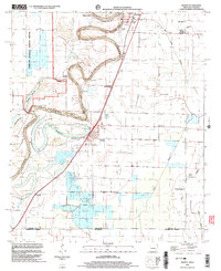 2002 Wilmot2003 Print · USGSThe Arkansas-Louisiana borderlands come into focus in this early 2000s survey of the delta region. Local historians can trace the community life of Wilmot and Parkdale through landmarks like Savage High Sch, Wilmot Cem, and Union Ch.
 - 2002 Map of Crossett South, 2003 Print
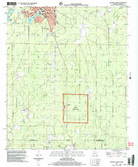 2002 Crossett South2003 Print · USGSCrossing the state line into Louisiana at the turn of the millennium, this survey captures the industrial edge of the timber country and the quiet crossroads of the borderlands. Researchers can trace the Old Railroad Grade or locate family roots at Western Cem and the Norman Sch site.
 - 2002 Map of Berlin, 2003 Print
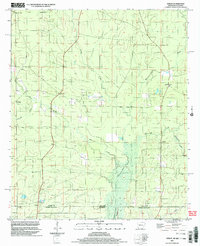 2002 Berlin2003 Print · USGSThe Arkansas-Louisiana state line south of Ashley County is captured here at the turn of the millennium. Genealogists and historians can trace rural communities like Berlin and Gulledge, or locate family-named landmarks such as Mapleville Ch and Rawls.
 - 2002 Map of Wilmot SW, 2003 Print
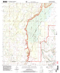 2002 Wilmot SW2003 Print · USGSThe Arkansas-Louisiana borderlands come alive in this turn-of-the-millennium survey of the wetlands surrounding Overflow National Wildlife Refuge. Researchers can trace rural lineages at Harris Cem and Bethel Cem or follow the winding Bayou Bartholomew.
 - 2003 Map of Brushy Creek, 2004 Print
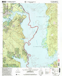 2003 Brushy Creek2004 Print · USGSThe Sabine River borderlands in the early 2000s show a mix of industrial activity and shoreline recreation within the Sabine National Forest. Researchers can trace old land grants and local sites like West Hamilton Ch, Ebarb, and the Ragtown Recreation Area.
 - 2003 Map of Logansport West, 2004 Print
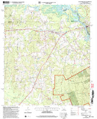 2003 Logansport West2004 Print · USGSThe Sabine River borderlands at the turn of the twenty-first century reveal a landscape of timber and energy production. Genealogists can locate Johnson Cem and Fruit Cem, or trace rural life through Lone Cedar Ch and Hewitt Camp.
 - 2003 Map of Milam, 2004 Print
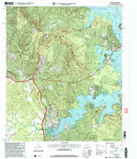 2003 Milam2004 Print · USGSSabine County at the start of the new millennium shows a balance between deep timberlands and the growing waterfront communities of Toledo Bend Reservoir. Trace family roots at Buckley Cem and Vickers Cem, or follow the path of the historic El Camino Real.
 - 2003 Map of East Hamilton, 2004 Print
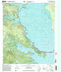 2003 East Hamilton2004 Print · USGSThe Texas-Louisiana border at the start of the twenty-first century is defined here by the massive waters of the Toledo Bend Reservoir and the deep woods of the Sabine National Forest. Researchers can map local heritage through sites like East Hamilton Ch, Liberty Springs Ch, and the quiet grounds of Bennett Cem.
 - 2003 Map of Salter Creek, 2004 Print
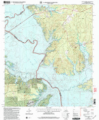 2003 Salter Creek2004 Print · USGSThe Texas-Louisiana borderlands appear here just after the millennium, centered on the vast Toledo Bend Reservoir. Genealogists and local historians can trace legacy sites like Sabinetown, Harpers Chapel, and the Miller Cem among the pine-covered hills.
 - 2003 Map of Haddens, 2004 Print
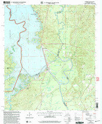 2003 Haddens2004 Print · USGSThe Louisiana-Texas borderlands are captured here in the early 2000s, centered on the engineering of the Toledo Bend Reservoir. Genealogists and local historians can locate the Scott Cem, Mt Olive Ch, and the small settlement at Haddens.
 - 2003 Map of Union Springs, 2004 Print
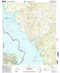 2003 Union Springs2004 Print · USGSThe Louisiana-Texas borderlands are captured here at the turn of the millennium as the Toledo Bend Reservoir reshapes the local geography. Genealogists and historians can locate legacy sites like Bossier Cem, Henretta Ch, and the historical Las Ormigas Grant Lot No 3.
 - 2003 Map of Logansport East, 2004 Print
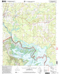 2003 Logansport East2004 Print · USGSDe Soto Parish at the turn of the twenty-first century shows a landscape transitioning between river bottomlands and the vast Sabine National Forest. Genealogists and local historians can trace family roots at Smith Cem and Mt Olivet Ch Cem or locate old community centers like Pine Grove Ch.
 - 2003 Map of Beech Bayou, 2004 Print
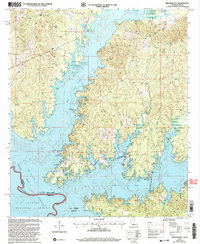 2003 Beech Bayou2004 Print · USGSThe Sabine River valley and the eastern edge of the Toledo Bend Reservoir are shown here at the start of the 21st century. Researchers can trace land divisions within the La Nana Grant or locate landmarks like the Alliance settlement and the Cem near the forest edge.
 - 2003 Map of Huxley, 2004 Print
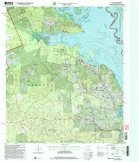 2003 Huxley2004 Print · USGSShelby County, Texas, meets the Louisiana border in this detailed look at the Sabine River valley during the early 2000s. Researchers can trace rural lineages through sites like Star Spring Cem, Carrollton Ch, and the historic Las Ormigas Grant Lot No 4.
 - 2003 Map of Dry Prong, 2005 Print
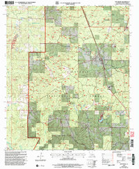 2003 Dry Prong2005 Print · USGSDry Prong and the central Louisiana woodlands are documented here just after the turn of the millennium. Researchers can trace local landmarks like Grant Parish High School, find family sites at Oak Grove, or locate early settlements such as Fairfield and Faircloth.
 - 2003 Map of Haynesville East, 2005 Print
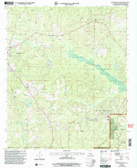 2003 Haynesville East2005 Print · USGSThe timberlands and oil fields of northern Louisiana come into focus at the turn of the millennium. Genealogists and historians can trace family-named landmarks and rural infrastructure near Haynesville, Gordon, and the winding Middle Fork Bayou D'Arbonne.
 - 2003 Map of Flora, 2005 Print
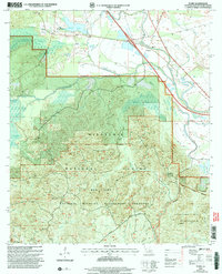 2003 Flora2005 Print · USGSNatchitoches Parish at the start of the twenty-first century is a landscape of protected wilderness and creek-side settlements. Local researchers can pinpoint family landmarks like Weaver Cem, the community of Flora (Weaver Sta), and the winding course of Bayou Brevelle.
 - 2003 Map of Afeman, 2005 Print
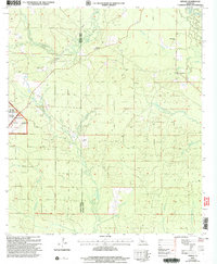 2003 Afeman2005 Print · USGSRapides and Vernon Parishes come together in the early 2000s in this detailed look at the forest lands near the Calcasieu River. Researchers can trace local lineages through several landmarks, including Lone Star Cemeteries, Doyle Cem, and the rural community of Afeman.
 - 2003 Map of Pollock, 2005 Print
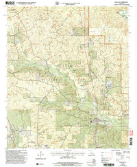 2003 Pollock2005 Print · USGSGrant Parish at the turn of the millennium shows a landscape defined by federal timberlands and small-town junctions. Researchers can trace local landmarks like the Catahoula Ranger Station, Cem, and the distinct No Ground Penetration Area.
 - 2003 Map of Glenmora, 2005 Print
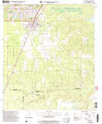 2003 Glenmora2005 Print · USGSThe crossroads of Rapides and Evangeline parishes come into focus at the turn of the twenty-first century. Genealogists can locate family landmarks like Rose Lawn Cem and Science Hill Cem, or trace rural aviation at Angrus Landing Field.
 - 2003 Map of Melder, 2005 Print
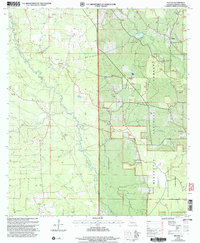 2003 Melder2005 Print · USGSRapides Parish in the early 2000s remains a region of deep forest and rural outposts centered on the Calcasieu River. Genealogists and local researchers can trace long-standing landmarks like St Mark Cem, Oak Grove Ch, and the settlement at Melder.
 - 2003 Map of Pawnee, 2005 Print
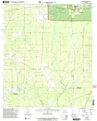 2003 Pawnee2005 Print · USGSRapides and Allen Parishes are shown at the turn of the millennium as centers of forestry and quiet rural life. Researchers can trace family roots at the Osburn Willis Cem or locate community hubs like Union Hill, Davis Crossing Ch, and the remote Pawnee settlement.
 - 2003 Map of Green Gables, 2005 Print
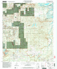 2003 Green Gables2005 Print · USGSRapides and Grant Parish are captured here at the start of the 21st century, showing the intersection of military training grounds and national forest. Researchers can trace family history through sites like Pleasant Grove Cem and the settlement at Hickman.2 unique versions available
 - 2003 Map of Fishville, 2005 Print
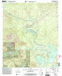 2003 Fishville2005 Print · USGSLouisiana's river-bottom timberlands and oxbow lakes come to life in this early 2000s study of the Grant and La Salle Parish border. Genealogists and researchers can trace local landmarks like White Sulphur Springs, the settlement of Fishville, and the many landings along the Little River.
 - 2003 Map of Forest Hill, 2005 Print
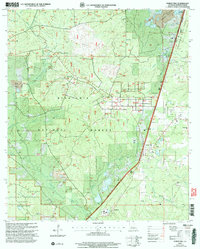 2003 Forest Hill2005 Print · USGSThe pine forests of Rapides Parish come alive in this map, showing the intersection of Kisatchie National Forest and the timber-focused settlement of Longleaf. Researchers can trace rural life through landmarks like Amiable Ch, Liberty Hill Cem, and the Drag Strip.
Showing maps 1-25 of 76
Top cities of Louisiana
- New Orleans historical maps
- Baton Rouge historical maps
- Shreveport historical maps
- Metairie historical maps
- Lafayette historical maps
- Saint George historical maps
See more
Top parishes of Louisiana
- Jefferson Parish historical maps
- Orleans Parish historical maps
- Caddo Parish historical maps
- St. Tammany Parish historical maps
- Lafayette Parish historical maps
- Calcasieu Parish historical maps
See more
Frequently asked questions
- What are the different types of historical maps available for Louisiana?
- What is the oldest map of Louisiana?
- Where can I purchase historical maps of Louisiana for my home or office?
- Where can I download high-res historical maps of Louisiana?
- Are there historical topographic maps available for Louisiana?
- Is there historical aerial imagery available for Louisiana?
- Where are historical maps of Louisiana sourced from?