2020s Maps of Cascade County, Montana
Explore 144 historic maps of Cascade County from the 2020s. These maps offer a rare glimpse into what life looked like during the 2020s — showing old roads, neighborhoods, homes, and landmarks that have changed or disappeared over time.
Whether you're researching your family's past, planning a metal detecting trip, or studying how Cascade County's landscape evolved across the 2020s, these high-resolution maps are a powerful tool for exploring the history of this region.
- Focus on a specific era: All maps on this page are from the 2020s, giving you a focused view of this time period.
- See what’s changed: Compare century-old streets, trails, and buildings to today's modern landscape using overlays and satellite layers.
- Research with precision: Use these maps for genealogy, historical research, land use analysis, or educational projects.
- View, download, or print: Maps are fully viewable online in high resolution, and can be downloaded or printed for your own records.
Start exploring Cascade County's history through authentic maps from the 2020s. This is your window into the past.
Cascade County, MT maps
(144)- 2020 Map of Neihart, 2020 Print
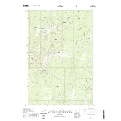 2020 Neihart2020 Print · USGSThe mountain town of Neihart is documented here in the early twenty-first century as it remains tucked within the Little Belt Mountains. Genealogists and historians can trace the local landscape through names like Narrow Gauge Gulch, Neihart Reservoir, and Lucy Park.
 - 2020 Map of Bubbling Springs, 2020 Print
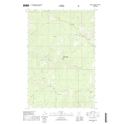 2020 Bubbling Springs2020 Print · USGSThe high meadows and mining history of the Little Belt Mountains are preserved in this 2020 map of the Cascade and Meagher county line. Researchers can trace historic industrial sites like the Iron Mines and remote landmarks including Bubbling Springs and Williams Park.
 - 2020 Map of Moose Mountain, 2020 Print
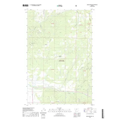 2020 Moose Mountain2020 Print · USGSThe Little Belt Mountains of Meagher County are shown here in the contemporary era, illustrating the high-country ranching and timber landscape. Researchers can locate remote sites like Hanson Mill and the E Ranch, or trace the path of the Holmstrom Ditch through the forest.
 - 2020 Map of Monarch NE, 2020 Print
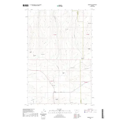 2020 Monarch NE2020 Print · USGSCascade County high country comes into focus in this recent survey of the mountains south of Belt. Researchers can locate family landmarks like the Monarch Cemetery and trace rugged local routes through Monarch Canyon and Rattlesnake Butte.
 - 2020 Map of Riceville, 2020 Print
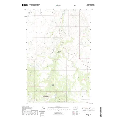 2020 Riceville2020 Print · USGSThe foothills of the Little Belt Mountains come into focus in this recent survey of the Cascade County backcountry. Researchers can trace the rugged drainage of Belt Creek through the Sluice Boxes or locate landmarks like Crown Butte and Isaac Walton Spring.
 - 2020 Map of Armington, 2020 Print
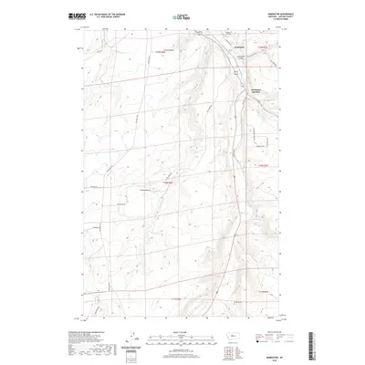 2020 Armington2020 Print · USGSCascade County highland ranching and valley settlements are documented here during the early twenty-first century. Genealogists and researchers can trace local family landmarks like Pleasant View Cem, Swede Bench, and the winding path of Belt Creek.
 - 2020 Map of Highwood, 2020 Print
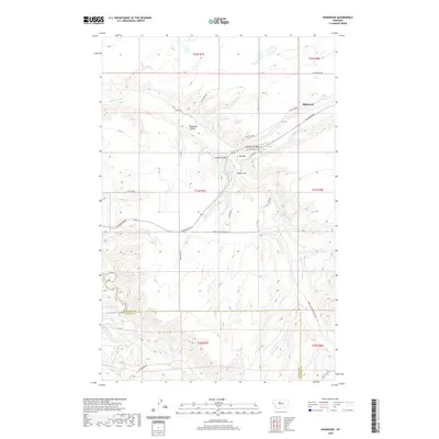 2020 Highwood2020 Print · USGSHighwood and the surrounding central Montana ranchlands are shown in detail during the early twenty-first century. Genealogists and local historians can trace family land ties near Highwood Cr and landmarks like Dunbar Hill or Big Sag.
 - 2020 Map of Belt NE, 2020 Print
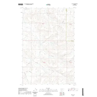 2020 Belt NE2020 Print · USGSThe rural borders of Cascade and Chouteau Counties are captured here in the early twenty-first century, showing a landscape defined by ranch roads and deep creek drainages. Researchers can trace the paths of Big Willow Cr and Little Belt Cr alongside local thoroughfares like Thibedeau Rd and Jarvi Rd.
 - 2020 Map of Raynesford, 2020 Print
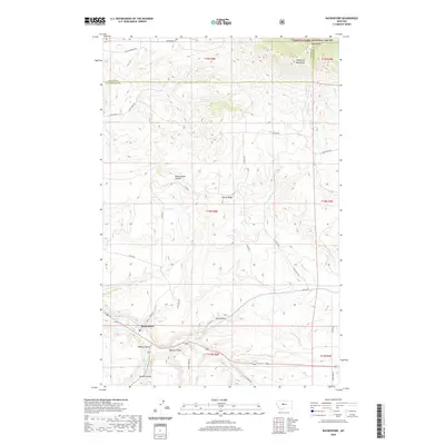 2020 Raynesford2020 Print · USGSRaynesford and the surrounding Judith Basin landscape are captured here as they appeared in 2020. Local researchers can trace the drainages of Big Otter Cr, explore the slopes of the Highwood Mountains, or locate sites near Ridley Coulee.
 - 2020 Map of Waltham, 2020 Print
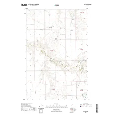 2020 Waltham2020 Print · USGSThe ranching country on the Chouteau and Cascade county line is defined by the deep canyons of Belt Creek and its many coulees. Researchers can trace the engineering of the railway through Amphitheater Tunnel Number 4 and Lacey Tunnel Number 3 near Waltham.
 - 2020 Map of Blythe, 2020 Print
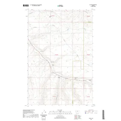 2020 Blythe2020 Print · USGSCentral Montana's high plains are revealed here in the modern era, showing the intersection of Blythe with a dense network of prairie drainages. Researchers can trace the rugged topography of Never Sweat Coulee, Big Otter Cr, and the county line shared with Judith Basin.
 - 2020 Map of Thunder Mountain, 2020 Print
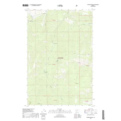 2020 Thunder Mountain2020 Print · USGSThe Little Belt Mountains are shown in high detail at the start of the 2020s, revealing a landscape of steep gulches and high peaks. Researchers can trace the rugged drainages of Pilgrim Creek, Sawmill Gulch, and the heights of Thunder Mountain.
 - 2020 Map of Belt, 2020 Print
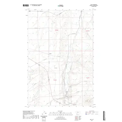 2020 Belt2020 Print · USGSThe rural landscape of Cascade County comes into focus in this recent survey of the area surrounding Belt. Trace local family roots at the Lower Belt Cem and explore the rugged coulee systems including Orr Coulee and B and M Coulee.
 - 2020 Map of Monarch, 2020 Print
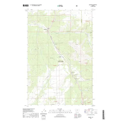 2020 Monarch2020 Print · USGSMonarch and the surrounding Little Belt Mountains are shown in the 2020s, highlighting the area's deep canyons and forest settlements. Researchers can trace the Dry Fork Road Cem near McGee Coulee or follow the course of Belt Cr through Monarch Canyon.
 - 2020 Map of Middle Creek Lake, 2020 Print
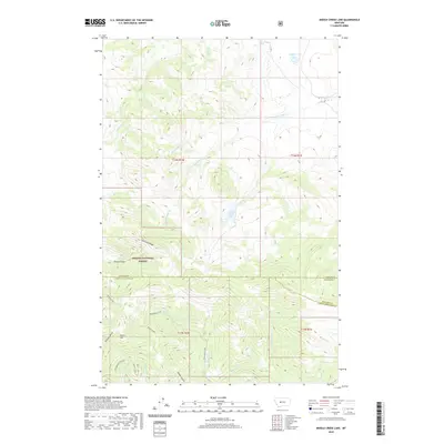 2020 Middle Creek Lake2020 Print · USGSThe high country of the Helena National Forest is detailed in this 2020 study of the Montana wilderness. Trace the topography of Shellrock Ridge and the remote waters of Middle Creek Lake or Cannon Lake.
 - 2020 Map of Highwood Baldy, 2020 Print
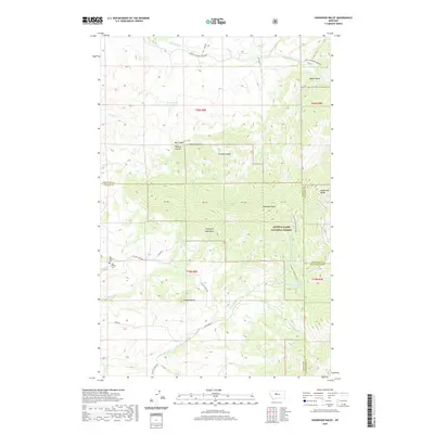 2020 Highwood Baldy2020 Print · USGSCascade County's high country is documented here in the modern era, showing the intersection of three counties within the mountain peaks. Researchers can trace land use and local heritage at Big Willow Cem and follow the drainage of Highwood Creek.
 - 2020 Map of Candle Mountain, 2020 Print
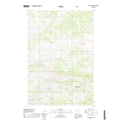 2020 Candle Mountain2020 Print · USGSThe Big Belt Mountains along the Lewis and Clark and Cascade county lines are shown here in the early twenty-first century. Outdoorsmen and researchers can locate remote landmarks like Kennedy Spring, Bear Prairie, and the deep Refrigerator Canyon.
 - 2020 Map of Barker, 2020 Print
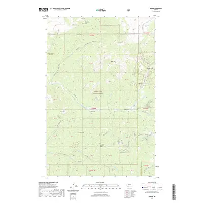 2020 Barker2020 Print · USGSThe Little Belt Mountains of central Montana appear in high detail during the early twenty-first century. Researchers can locate the mountain settlement of Hughesville and the Barker Cem while tracing drainage patterns along Bender Creek and Sawmill Creek.
 - 2020 Map of B K Ranch, 2020 Print
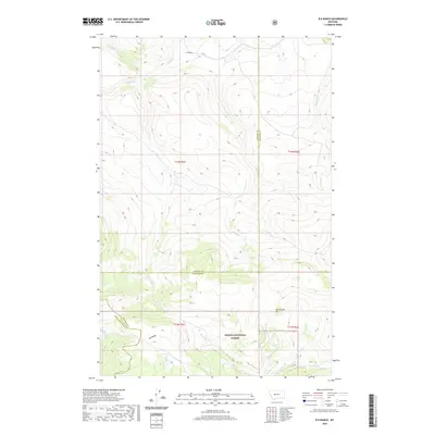 2020 B K Ranch2020 Print · USGSThe high country of the Big Belt Mountains comes into focus in this recent survey of the Cascade and Meagher county lines. Researchers can trace the remote B K Ranch and the headwaters of numerous streams like Hound Cr and Crooked Cr within the Helena National Forest.
 - 2020 Map of Eden, 2020 Print
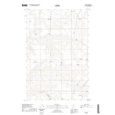 2020 Eden2020 Print · USGSEden and the surrounding Cascade County uplands are captured here in the early twenty-first century. Genealogists and historians can trace family land ties across Truly Bench and locate the Red Butte Cem or the winding Butch Cassidy Loop.
 - 2020 Map of Stockett, 2020 Print
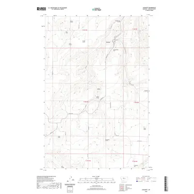 2020 Stockett2020 Print · USGSCascade County's coulee country is documented here in the early twenty-first century, showing the rural landscape around Stockett. Researchers can trace local landmarks like Cottonwood Bench Cem and geographic features such as Powderhouse Hill and Giffen.
 - 2020 Map of Blankenbaker Flats, 2020 Print
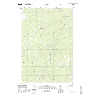 2020 Blankenbaker Flats2020 Print · USGSCascade and Meagher counties meet in these high forest lands during the early 2020s. Researchers can trace the path of old forest roads like Logging Creek Rd and locate landmarks such as Blankenbaker Flats or Devil Canyon.
 - 2020 Map of Benton Lake East, 2020 Print
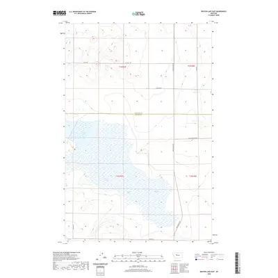 2020 Benton Lake East2020 Print · USGSThe high plains of Montana meet the extensive wetlands of Benton Lake in this 2020 survey of the Cascade and Chouteau county line. Researchers can trace the section-line roads and transport routes like Bootlegger Trl and Black Horse Lake Rd.
 - 2020 Map of Evans, 2020 Print
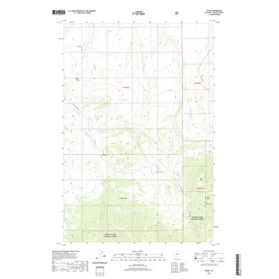 2020 Evans2020 Print · USGSCascade County ranching country meets the forest edge in the twenty-first century. Researchers can trace rural road networks and water rights along Sand Coulee Cr or find the high ground at Tiger Butte and Lewis & Clark National Forest.
 - 2020 Map of Truly, 2020 Print
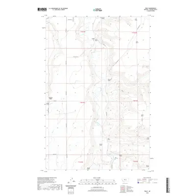 2020 Truly2020 Print · USGSCascade County high country comes into focus in this recent survey of the lands around the Smith River and the settlement of Truly. Genealogists and historians can trace local landmarks like Belt Park Cem, Truly Bridge, and the naming of Swede Bench.
Showing maps 1-25 of 144
Top cities of Cascade County
- Great Falls historical maps
- Cascade historical maps
- Belt historical maps
- Stockett historical maps
- Neihart historical maps
Frequently asked questions
- What are the different types of historical maps available for Cascade County?
- What is the oldest map of Cascade County?
- Where can I purchase historical maps of Cascade County for my home or office?
- Where can I download high-res historical maps of Cascade County?
- Are there historical topographic maps available for Cascade County?
- Is there historical aerial imagery available for Cascade County?
- Where are historical maps of Cascade County sourced from?