2020s Maps of Granite County, Montana
Explore 97 historic maps of Granite County from the 2020s. These maps offer a rare glimpse into what life looked like during the 2020s — showing old roads, neighborhoods, homes, and landmarks that have changed or disappeared over time.
Whether you're researching your family's past, planning a metal detecting trip, or studying how Granite County's landscape evolved across the 2020s, these high-resolution maps are a powerful tool for exploring the history of this region.
- Focus on a specific era: All maps on this page are from the 2020s, giving you a focused view of this time period.
- See what’s changed: Compare century-old streets, trails, and buildings to today's modern landscape using overlays and satellite layers.
- Research with precision: Use these maps for genealogy, historical research, land use analysis, or educational projects.
- View, download, or print: Maps are fully viewable online in high resolution, and can be downloaded or printed for your own records.
Start exploring Granite County's history through authentic maps from the 2020s. This is your window into the past.
Granite County, MT maps
(97)- 2020 Map of Warren Peak, 2020 Print
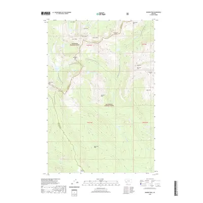 2020 Warren Peak2020 Print · USGSHigh in the Anaconda Range during the early twenty-first century, this area shows the intersection of two National Forests along the backbone of the continent. Hikers and historians can trace the Continental Divide National Scenic Trail past Warren Peak and the remote Pintler Meadows.
 - 2020 Map of Lick Creek, 2020 Print
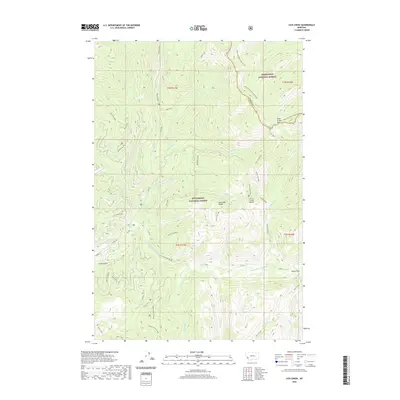 2020 Lick Creek2020 Print · USGSHigh in the Anaconda Range during the early twenty-first century, this survey tracks the complex wilderness where two national forests and two counties meet. Researchers can trace the rugged topography of the Bitterroot-Rock Creek Divide, Lick Creek Saddle, and the Hole in the Wall pass.
 - 2020 Map of Kelly Lake, 2020 Print
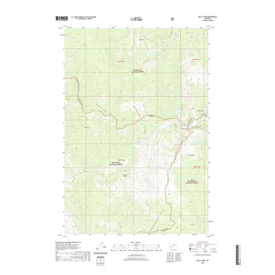 2020 Kelly Lake2020 Print · USGSHigh in the Montana mountains during the early twenty-first century, this area marks the intersection of four counties at the Continental Divide. Trace the high-altitude route of the Continental Divide National Scenic Trail as it passes Pintler Peak and the remote Kelly Lake.
 - 2020 Map of Maukey Gulch, 2020 Print
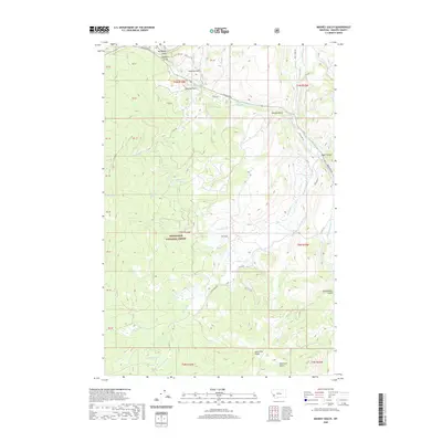 2020 Maukey Gulch2020 Print · USGSGranite County's high-country terrain is captured here in the modern era, dominated by the wooded expanses of the Deerlodge National Forest. Genealogists and researchers can trace the old corridors of Skalkaho Rd and locate historically named landmarks like Schoolmarm Gulch and Stephens Reservoir.
 - 2020 Map of Wild Horse Parks, 2020 Print
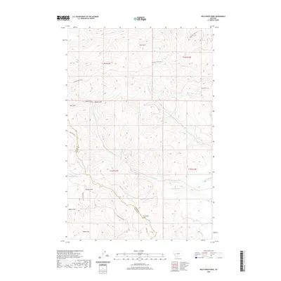 2020 Wild Horse Parks2020 Print · USGSGranite and Powell counties meet at this high-altitude mountain landscape in the 2020s, a place defined by its creek systems and remote access roads. Researchers can trace the drainage patterns of Douglas Cr or locate specific landmarks like Nelson Spring and Wild Horse Parks.
 - 2020 Map of Silver Lake, 2020 Print
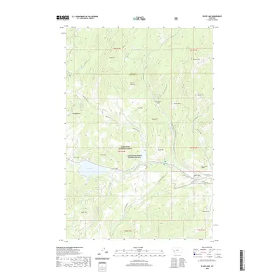 2020 Silver Lake2020 Print · USGSThe mountain basin around Georgetown and Silver Lake comes into focus in this recent survey of the Flint Creek Range. Researchers can trace old thoroughfares like Southern Cross Rd and locate high-country landmarks from Yankee Flat to Cable Mtn.
 - 2020 Map of Hall, 2020 Print
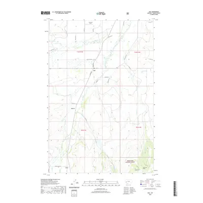 2020 Hall2020 Print · USGSGranite County's ranching and mountain landscape is captured here in the contemporary era, centered on the valley of Flint Creek. Researchers can trace the legacy of local land use through features like the Allendale Ditch, the Drummond Airport, and the small settlements of Hall and Stone.
 - 2020 Map of Nirling Hill, 2020 Print
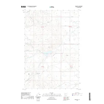 2020 Nirling Hill2020 Print · USGSGranite County high country comes into focus in this recent survey of the ridges and valleys north of the Clark Fork. Genealogists and researchers can trace the footprint of early settlers through landmarks like Conn Homestead Ln, Gaylord Gulch, and the complex irrigation systems of Allen Dale Ditch.
 - 2020 Map of Elevation Mountain, 2020 Print
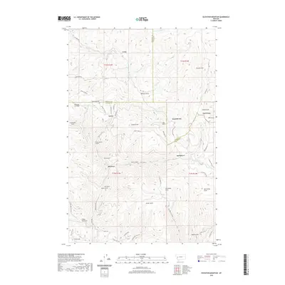 2020 Elevation Mountain2020 Print · USGSGarnet and the surrounding high-country mining camps are documented here as they appeared in 2020. Local historians and researchers can trace the old gulch-and-ridge routes connecting Beartown, Reynolds City, and Top O'Deep along the Garnet Range Rd.
 - 2020 Map of Henderson Mountain, 2020 Print
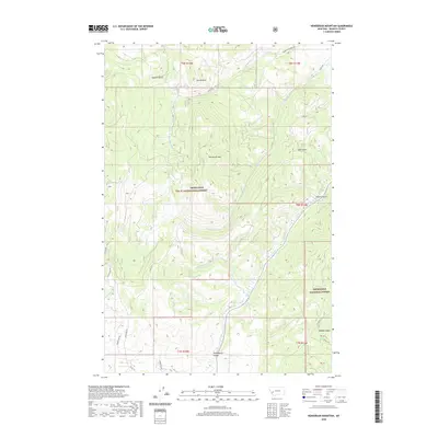 2020 Henderson Mountain2020 Print · USGSGranite County's high country remains a landscape of steep gulches and mountain peaks in the early twenty-first century. Researchers can trace the drainage of Flint Creek through the Phillipsburg Valley or locate historical access routes like Black Pine Rd and Henderson Creek Rd.
 - 2020 Map of Elk Mountain, 2020 Print
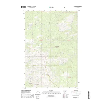 2020 Elk Mountain2020 Print · USGSThe high Montana ridges where three counties meet are documented in this contemporary topographic survey. Researchers can trace the remote Two Y Junction and find named high-country features like Last Drink Springs and Cleveland Mountain.
 - 2020 Map of Kent Peak, 2020 Print
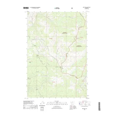 2020 Kent Peak2020 Print · USGSHigh in the Bitterroot Range during the early twenty-first century, this map shows the convergence of national forest lands and rugged alpine divides. Hikers and historians can trace high-country landmarks like Rooster Comb and the trio of Charity, Faith, and Hope lakes.
 - 2020 Map of Limestone Ridge, 2020 Print
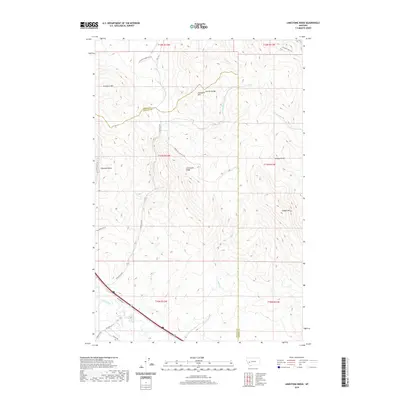 2020 Limestone Ridge2020 Print · USGSThe high country of Granite and Powell Counties comes into focus in this recent survey of the Garnet Range. Local researchers can trace rugged access routes like Saddle Mt Lookout Rd and the drainage patterns of Edwards Gulch and the Clark Fork.
 - 2020 Map of Harvey Point, 2020 Print
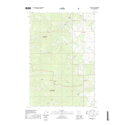 2020 Harvey Point2020 Print · USGSGranite County's high-country terrain is mapped here in the early twenty-first century, showing the boundaries between two major national forests. Researchers can trace the drainages of Eightmile Cr and find named mountain landmarks like Silver King Mtn and Harvey Point.
 - 2020 Map of Cornish Gulch, 2020 Print
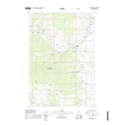 2020 Cornish Gulch2020 Print · USGSGranite County's mountain drainages and forest lands are captured here in the contemporary era. Researchers can trace the rugged network of mining-era landmarks like Bi-Metalic Gulch, find Bobcat Field, and locate the Squaw Rock Airstrip.
 - 2020 Map of Fred Burr Lake, 2020 Print
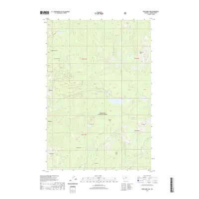 2020 Fred Burr Lake2020 Print · USGSGranite and Rumsey sit at the western edge of the Flint Creek Range in this 2020 survey of high Montana backcountry. Researchers can trace historic mining-era sites near Granite or follow alpine trails toward Fred Burr Lake, Cable Mtn, and Fred Burr Pass.
 - 2020 Map of Union Peak, 2020 Print
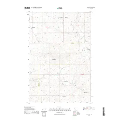 2020 Union Peak2020 Print · USGSThe Garnet Range highlands at the Missoula and Granite county line come into sharp focus in this recent survey. Researchers can trace the layout of Coloma near its cemetery, locate Copper Cliff, and follow the winding Hole-In-The-Wall Rd.
 - 2020 Map of Grayhorse Creek, 2020 Print
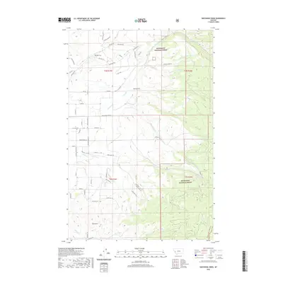 2020 Grayhorse Creek2020 Print · USGSRavalli County’s eastern foothills meet the forest boundary in this contemporary survey of a changing Montana landscape. Genealogists and local historians can trace rural property lines and community landmarks like Sunnyside Cem, Lone Rock Sch Rd, and the ranching lanes near Reed Butte.
 - 2020 Map of Drummond, 2020 Print
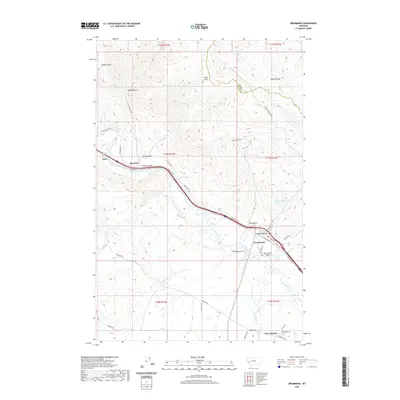 2020 Drummond2020 Print · USGSDrummond and the Flint Creek Valley are captured here in the early twenty-first century as a vital crossroads of river, rail, and road. Researchers can trace the heritage of the region through the Valley Cem near New Chicago and the landmark Drummond Bridge.
 - 2020 Map of Pozega Lakes, 2020 Print
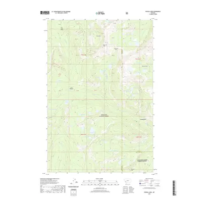 2020 Pozega Lakes2020 Print · USGSThe Flint Creek Range high country comes into focus in this modern survey of the Deerlodge National Forest. Researchers can locate the settlement of Danielsville and trace the high-altitude drainages near Racetrack Peak and Big Pozega Lake.
 - 2020 Map of Black Pine Ridge, 2020 Print
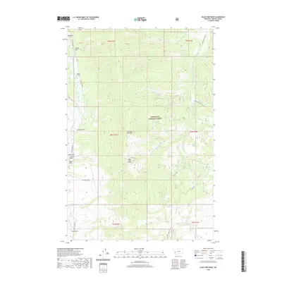 2020 Black Pine Ridge2020 Print · USGSGranite County's high mountain terrain is shown here during the early twenty-first century as part of the Forest Service system. Genealogists and historians can trace old mining-era placenames like Alder Gulch, Arbuckle Gulch, and the namesake Black Pine Ridge.
 - 2020 Map of Philipsburg, 2020 Print
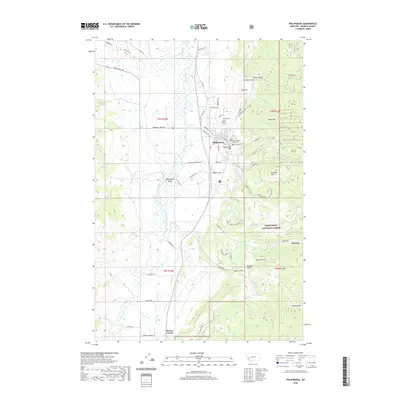 2020 Philipsburg2020 Print · USGSThe silver-mining heritage of Granite County is preserved in this recent survey of Philipsburg and its surrounding mountain valleys. Genealogists and historians can trace local landmarks like the Granite County Courthouse, the settlement of Rumsey, and the Philipsburg Cem.
 - 2020 Map of Grizzly Point, 2020 Print
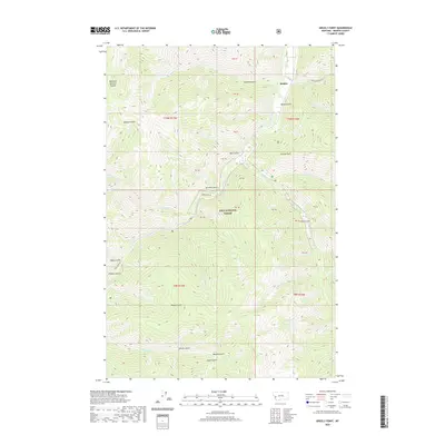 2020 Grizzly Point2020 Print · USGSThe Sapphire Mountains of western Montana appear here in high detail during the early twenty-first century. Researchers can trace the rugged geography of the Lolo National Forest through local landmarks like Quigley, Grizzly Point, and Gunbarrel Spring.
 - 2020 Map of Sawmill Saddle, 2020 Print
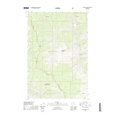 2020 Sawmill Saddle2020 Print · USGSThe high Montana divide between Ravalli and Granite counties is documented here in the early twenty-first century. Outdoor enthusiasts and researchers can trace the ridge from Many Horse Peak to Sawmill Saddle and follow the headwaters of the Burnt Fork Bitterroot River.
 - 2020 Map of Whetstone Ridge, 2020 Print
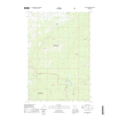 2020 Whetstone Ridge2020 Print · USGSThe high Divide between Granite and Ravalli counties is captured here in the contemporary era, showing a landscape defined by forest boundaries and wilderness. Hikers and explorers can trace the high-elevation waters of Green Canyon Lake or locate landmarks like Table Mtn and Point Lookout.
Showing maps 1-25 of 97
Top cities of Granite County
Frequently asked questions
- What are the different types of historical maps available for Granite County?
- What is the oldest map of Granite County?
- Where can I purchase historical maps of Granite County for my home or office?
- Where can I download high-res historical maps of Granite County?
- Are there historical topographic maps available for Granite County?
- Is there historical aerial imagery available for Granite County?
- Where are historical maps of Granite County sourced from?