2010s Maps of Teton County, Montana
Explore 198 historic maps of Teton County from the 2010s. These maps offer a rare glimpse into what life looked like during the 2010s — showing old roads, neighborhoods, homes, and landmarks that have changed or disappeared over time.
Whether you're researching your family's past, planning a metal detecting trip, or studying how Teton County's landscape evolved across the 2010s, these high-resolution maps are a powerful tool for exploring the history of this region.
- Focus on a specific era: All maps on this page are from the 2010s, giving you a focused view of this time period.
- See what’s changed: Compare century-old streets, trails, and buildings to today's modern landscape using overlays and satellite layers.
- Research with precision: Use these maps for genealogy, historical research, land use analysis, or educational projects.
- View, download, or print: Maps are fully viewable online in high resolution, and can be downloaded or printed for your own records.
Start exploring Teton County's history through authentic maps from the 2010s. This is your window into the past.
Teton County, MT maps
(198)- 2011 Map of Volcano Reef, 2011 Print
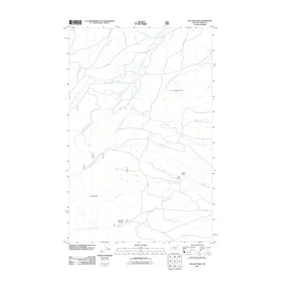 2011 Volcano Reef2011 Print · USGSTeton County ranching and conservation lands come into focus in this early twenty-first-century survey of the Rocky Mountain Front. Researchers can locate the Theodore Roosevelt Memorial Ranch and trace rugged landmarks like Volcano Reef and Blackleaf Canyon.
 - 2011 Map of Walling Reef, 2011 Print
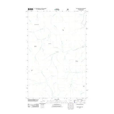 2011 Walling Reef2011 Print · USGSTeton County's front range is documented here in the early twenty-first century, showing the complex headwaters of the Teton and Dupuyer systems. Trace the high-altitude landmarks like Hurricane Mountain, Walling Reef, and the uniquely named Bum Shot Mountain.
 - 2011 Map of Fish Lake, 2011 Print
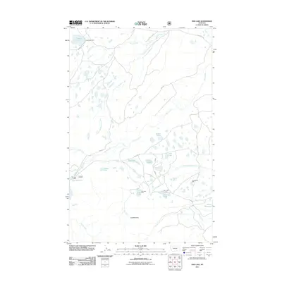 2011 Fish Lake2011 Print · USGSTeton County’s high-country water systems are captured in detail here during the early twenty-first century. Researchers can trace the complex network of mountain drainages and infrastructure, from the Swift Dam to isolated landmarks like Split Mountain and Hell Roaring Spring.
 - 2011 Map of Gateway Pass, 2011 Print
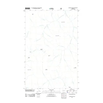 2011 Gateway Pass2011 Print · USGSFlathead County at the dawn of the twenty-first century shows a landscape of high summits and seasonal wilderness outposts. Researchers can trace the drainages of Middle Fork Birch Creek past Big River Meadows and identify isolated landmarks like Gateway Cabin.
 - 2011 Map of Ear Mountain, 2011 Print
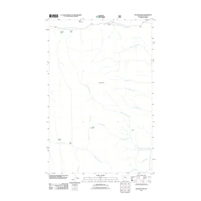 2011 Ear Mountain2011 Print · USGSTeton County's high-altitude drainages and peaks are captured here in the early twenty-first century. Researchers can trace the paths of the South Fork Teton River and find localized landmarks like Gleason Resort, Ear Mountain, and Sheep Gulch.
 - 2011 Map of Patricks Basin, 2011 Print
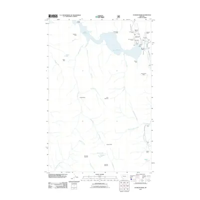 2011 Patricks Basin2011 Print · USGSLewis and Clark County's high country is documented here in the early twenty-first century, centered on the waters of the Sun River. Local history and outdoor researchers can trace paths to the Gibson Lake Lodge, the Gibson Dam, and the remote Sheep Sheds.
 - 2011 Map of Castle Reef, 2011 Print
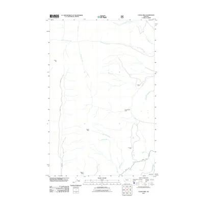 2011 Castle Reef2011 Print · USGSLewis and Clark County is shown at the start of the 2010s as a high-plains landscape defined by ranching and mountain drainages. Genealogists and local historians can locate Kellogg Ranch and Davy High Ranch or trace the path of the Pishkun Canal.
 - 2011 Map of Our Lake, 2011 Print
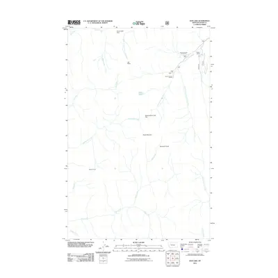 2011 Our Lake2011 Print · USGSTeton County's high country is captured here in the early twenty-first century, showcasing a landscape of mountain passes and remote water sources. Researchers can map the trails and peaks of the Sawtooth Range, locating landmarks like Beartop Lookout and Our Lake.
 - 2011 Map of Gates Park, 2011 Print
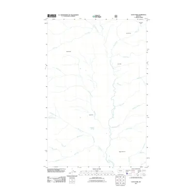 2011 Gates Park2011 Print · USGSThis Lewis and Clark County landscape, as mapped in 2011, centers on the high meadows and drainage basins of the North Fork Sun River. Researchers can trace the network of creek-fed openings like Gates Park, Lone Park, and the waters of Gates Lake.
 - 2011 Map of Porphyry Reef, 2011 Print
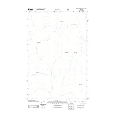 2011 Porphyry Reef2011 Print · USGSFlathead County at the start of the twenty-first century remains a wilderness defined by high summits and the headwaters of the Rockies. Researchers can trace remote geographic crossings at Teton Pass and Sun River Pass or locate high mountain meadows like Grizzly Park.
 - 2011 Map of Mount Wright, 2011 Print
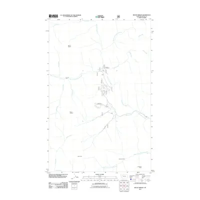 2011 Mount Wright2011 Print · USGSTeton County's high country is captured here during the early 21st century, showing a landscape defined by river forks and recreation. You can trace the drainage of Waldron Creek or locate remote landmarks like the Empty Jug Cabin and Teton Pass Winter Sports Area.
 - 2011 Map of Sawtooth Ridge, 2011 Print
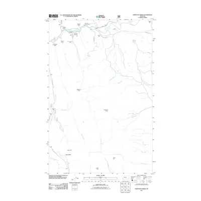 2011 Sawtooth Ridge2011 Print · USGSLewis and Clark County at the start of the 2100s shows a landscape of ranching and water engineering. Researchers can trace land use through family landmarks like Stoner Place and irrigation works like the Sun River Diversion Dam.
 - 2011 Map of Arsenic Mountain, 2011 Print
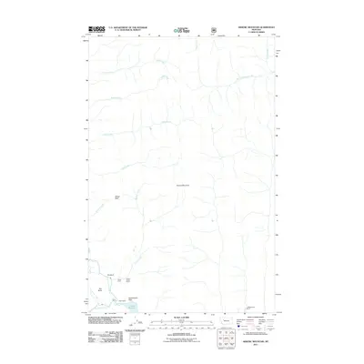 2011 Arsenic Mountain2011 Print · USGSLewis and Clark County is shown at a time when remote mountain ranching and wilderness recreation defined the landscape. Researchers can locate specific legacy properties and landmarks including K L Ranch, White Cabin, and the waters of Gibson Reservoir.
 - 2011 Map of Twin Lakes, 2011 Print
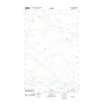 2011 Twin Lakes2011 Print · USGSTeton County ranchlands in the early twenty-first century are defined by large family holdings and vital water systems. Genealogists and local historians can trace legacy properties like Knowlton Ranch and Hughes Ranch alongside landmarks like Twin Lakes Dam.
 - 2011 Map of Dutton NE, 2011 Print
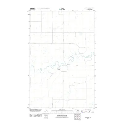 2011 Dutton NE2011 Print · USGSTeton County at the start of the 2010s shows a landscape of precision-grid ranch roads and river bends. Researchers can trace the winding Teton River to the Kerr Bridge crossing or locate family land near Hunt Coulee.
 - 2011 Map of Dutton NW, 2011 Print
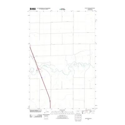 2011 Dutton NW2011 Print · USGSTeton County at the start of the 2010s shows a landscape of precision agriculture and river hydrology. Researchers can trace the winding course of the Teton River as it cuts through a grid of rural routes like 20th Rd NE and 12th Ln NE.
 - 2011 Map of Collins NW, 2011 Print
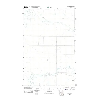 2011 Collins NW2011 Print · USGSThe Teton County plains are captured here in the early twenty-first century, showing a landscape defined by ranch roads and river bends. Trace the winding Teton River or locate family-named features like Kropp Coulee and Antelope Coulee.
 - 2011 Map of Dutton, 2011 Print
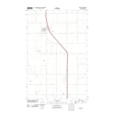 2011 Dutton2011 Print · USGSDutton and the surrounding Teton County prairie are captured here in the early twenty-first century as the region's agricultural traditions remain firmly in place. Researchers can trace the local community through the Dutton Cemetery, Dutton Post Office, and landmarks like Bosseler Ridge.
 - 2011 Map of Freezeout Lake, 2011 Print
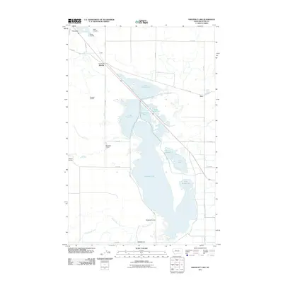 2011 Freezeout Lake2011 Print · USGSTeton County’s wetland and irrigation systems are shown in detail during the early twenty-first century. Researchers can trace the water management network from the Cascade Canal to Freezeout Lake, while locating rural landmarks like Bole and Priest Butte.
 - 2011 Map of Agawam South, 2011 Print
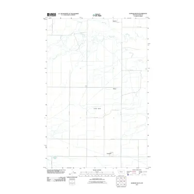 2011 Agawam South2011 Print · USGSThe high plains of Teton County come into focus during the early 2000s, centered on the small rural community of Farmington. Genealogists and researchers can trace local landmarks like Malone, Glendora Lake, and the expansive Burton Bench.
 - 2011 Map of Collins SE, 2011 Print
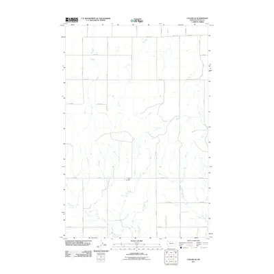 2011 Collins SE2011 Print · USGSTeton County at the start of the 2010s shows a vast agricultural grid defined by long, straight section-line roads. Researchers can pinpoint local landmarks like Beck Cemetery and trace the paths of Collins Rd and Rte 221 across the plains.
 - 2011 Map of Teton Buttes, 2011 Print
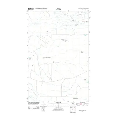 2011 Teton Buttes2011 Print · USGSTeton County ranching and water management are the focus of this recent survey of the Montana plains. Genealogists and local historians can trace legacy properties such as Sabo Ranch and Ruebe Ranch, or locate small-scale mining sites like the SE NE Section 10 Mine.
 - 2011 Map of Cleiv, 2011 Print
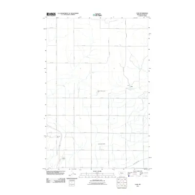 2011 Cleiv2011 Print · USGSTeton County's agricultural high plains are documented here just after the turn of the millennium. Local researchers can trace the vital irrigation systems of Greenfields Bench, locating the Manual Oakley Group Dam and the Fairfield Airport.
 - 2011 Map of Power, 2011 Print
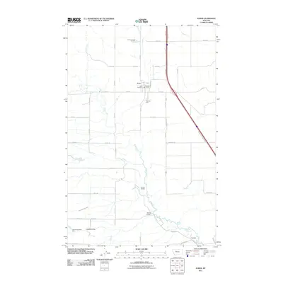 2011 Power2011 Print · USGSPower and the surrounding prairie are captured here in the early twenty-first century, showing a landscape defined by irrigation and rail. Genealogy and local history researchers can locate the PowerCommunity Cemetery, Power Post Office, and the small settlement of Gordon.
 - 2011 Map of Timber Coulee North, 2011 Print
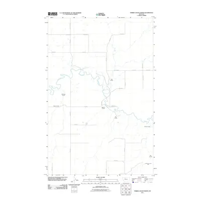 2011 Timber Coulee North2011 Print · USGSTeton County, Montana, is depicted in the early twenty-first century as a landscape defined by the winding Teton River and expansive ranch lands. Researchers can trace rural infrastructure along Faris School Rd or locate the Lumberjack Junior Dam.
Showing maps 1-25 of 198
Top cities of Teton County
Frequently asked questions
- What are the different types of historical maps available for Teton County?
- What is the oldest map of Teton County?
- Where can I purchase historical maps of Teton County for my home or office?
- Where can I download high-res historical maps of Teton County?
- Are there historical topographic maps available for Teton County?
- Is there historical aerial imagery available for Teton County?
- Where are historical maps of Teton County sourced from?