2010s Maps of New Mexico
Explore 6,198 historic maps of New Mexico from the 2010s. These maps offer a rare glimpse into what life looked like during the 2010s — showing old roads, neighborhoods, homes, and landmarks that have changed or disappeared over time.
Whether you're researching your family's past, planning a metal detecting trip, or studying how New Mexico's landscape evolved across the 2010s, these high-resolution maps are a powerful tool for exploring the history of this region.
- Focus on a specific era: All maps on this page are from the 2010s, giving you a focused view of this time period.
- See what’s changed: Compare century-old streets, trails, and buildings to today's modern landscape using overlays and satellite layers.
- Research with precision: Use these maps for genealogy, historical research, land use analysis, or educational projects.
- View, download, or print: Maps are fully viewable online in high resolution, and can be downloaded or printed for your own records.
Start exploring New Mexico's history through authentic maps from the 2010s. This is your window into the past.
New Mexico maps
(6,198)- 2010 Map of Furnish Canyon West, 2010 Print
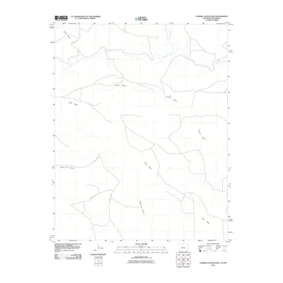 2010 Furnish Canyon West2010 Print · USGSHigh plains ranching country in southeastern Colorado is defined here by its winding canyons and mesa overlooks. Researchers can trace the path of West Carrizo Creek as it weaves past Black Mesa and into the depths of Furnish Canyon.
 - 2010 Map of Bondad Hill, 2010 Print
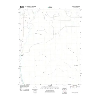 2010 Bondad Hill2010 Print · USGSSan Juan County at the turn of the decade shows a landscape shaped by river confluences and high desert mesas. Researchers can trace the irrigation history of Twin Rock Ditch or explore rural homestead access via Yellow Brick Rd and Black Hawk Trl.
 - 2010 Map of Ignacio, 2010 Print
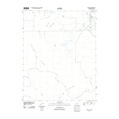 2010 Ignacio2010 Print · USGSThe town of Ignacio and the surrounding Southern Ute reservation lands are captured here at the start of the 2010s. Genealogists and historians can locate the Ouray Memorial Cemetery and trace the paths of the Morrison Consolidated Ditch and the Los Pinos River.
 - 2010 Map of Tiffany, 2010 Print
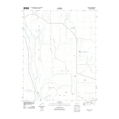 2010 Tiffany2010 Print · USGSThe Colorado-New Mexico borderlands come into focus in this recent survey of Tiffany and La Boca. Researchers can trace old family burial sites at the Allison Tiffany Cemetery and navigate the irrigation networks of the Pine River Canal and Los Pinos River.
 - 2010 Map of Haystack Butte, 2010 Print
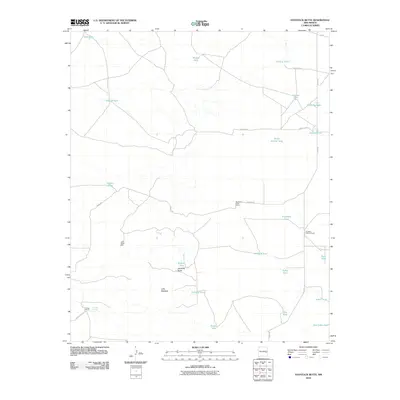 2010 Haystack Butte2010 Print · USGSChaves County ranching lands in the early 2000s are defined by isolated homesteads and essential water catchments. Genealogists and historians can trace the footprints of the South Van Eaton Ranch and Cooper Ranch near landmarks like Haystack Butte.
 - 2010 Map of Connor Well, 2010 Print
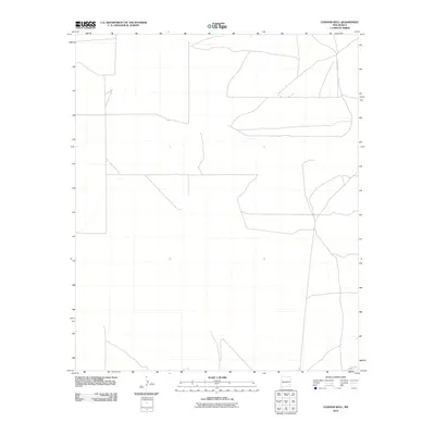 2010 Connor Well2010 Print · USGSChaves County ranchlands are documented here in the early 2000s, showing a remote landscape of livestock operations and desert outposts. Family historians can trace the footprints of the Wade Ranch, Malstrom Ranch, and the eponymous Connor Well.
 - 2010 Map of Huerfano Hill, 2010 Print
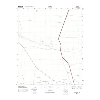 2010 Huerfano Hill2010 Print · USGSSierra County's arid high-country terrain is captured here in the early twenty-first century, showcasing the essential water and road networks of the ranching landscape. Researchers can trace the paths of Alamosa Creek or locate local landmarks like Huerfano Hill and the Cuchillo Community Allotment Reservoir.
 - 2010 Map of Separ NE, 2010 Print
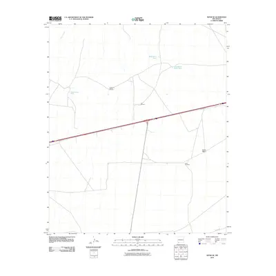 2010 Separ NE2010 Print · USGSGrant County ranching and water management are the focus of this 2010 study of the high desert. Researchers can trace land use at Moore Homestead or locate critical watering holes like Government Tank and the Continental Divide Tank.
 - 2010 Map of Onava, 2010 Print
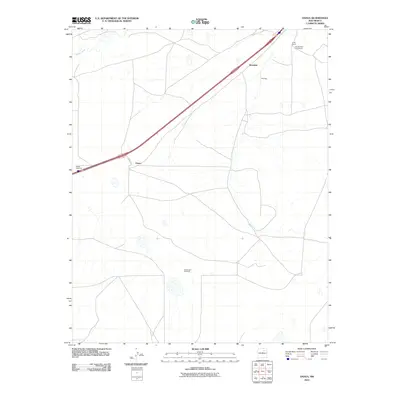 2010 Onava2010 Print · USGSSan Miguel County ranch lands are captured here at the start of the new millennium, showing a landscape defined by cattle operations and wide-open plains. Genealogists and local historians can locate named properties like Kroenigs and the Holt Brothers Circle Ranch.
 - 2010 Map of Skute Stone Arroyo, 2010 Print
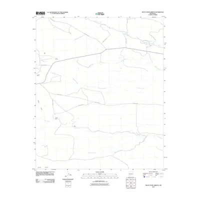 2010 Skute Stone Arroyo2010 Print · USGSSierra County's arid ranchlands and old mining outposts are documented here in the early twenty-first century. Genealogists and local historians can trace family-named sites like Coalson Ranch and Clark Ranch or locate the site of Golddust Camp.
 - 2010 Map of Sibley Hole, 2010 Print
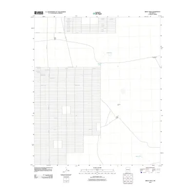 2010 Sibley Hole2010 Print · USGSNew Mexico's high desert reveals its ranching and mining infrastructure in this early 21st-century survey of Luna County. Researchers can locate remote landmarks such as White House Ranch, the Wet King Mine, and water sources like Sibley Hole.
 - 2010 Map of Malpais Hill, 2010 Print
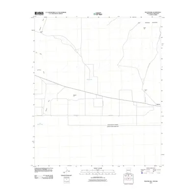 2010 Malpais Hill2010 Print · USGSThe high desert of southern New Mexico meets the Mexican border in the early twenty-first century. Researchers can trace land use through isolated sites like Dogtown Ranch, Edwards Ranch, and the geological heights of the Tres Hermanas Mountains.
 - 2010 Map of Monument South, 2010 Print
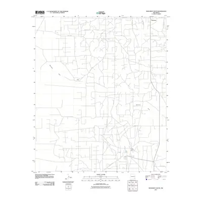 2010 Monument South2010 Print · USGSMonument and the surrounding Lea County plains are captured here in the early twenty-first century as an active hub of ranching and industry. Researchers can trace the layout of the Hobbs Chemical Plant, Record Ranch, and the paths of Tuffy Cooper Rd.
 - 2010 Map of Tower Hill South, 2010 Print
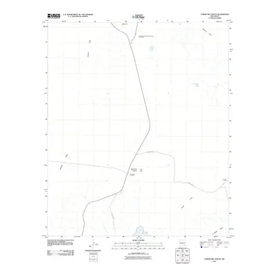 2010 Tower Hill South2010 Print · USGSEddy County mining and ranching operations are documented here in the early twenty-first century. Researchers can trace the layout of the Mississippi Chemical Corporation Potash Mine and old travel routes like the Cimarron Trl.
 - 2010 Map of East Lake, 2010 Print
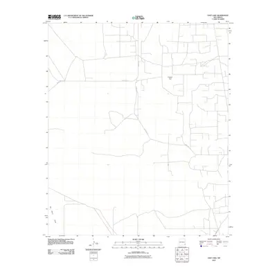 2010 East Lake2010 Print · USGSSoutheastern New Mexico's energy landscape is captured here during the early twenty-first century, showing the intersection of industrial work and desert terrain. Researchers can trace the infrastructure of the Monument Jal Oil Field and the natural geography of the San Simon Swale.
 - 2010 Map of Culberson Ranch, 2010 Print
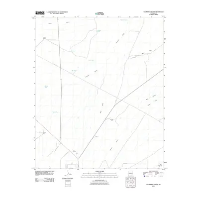 2010 Culberson Ranch2010 Print · USGSHidalgo County ranch lands are shown in detail during the early twenty-first century, highlighting the remote infrastructure of the New Mexico desert. Researchers can locate specific family-named sites and water sources like Culberson Ranch, Myers Windmill, and Still Tank.
 - 2010 Map of Applegate Mountain, 2010 Print
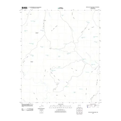 2010 Applegate Mountain2010 Print · USGSGrant County ranching country is mapped here in the early twenty-first century, showing a landscape defined by vital water tanks and rugged canyons. Trace the family names on landmarks like Willis Dickerson Tank or explore the route of Bald Knoll Rd past Sycamore Camp.
 - 2010 Map of Bell Lake, 2010 Print
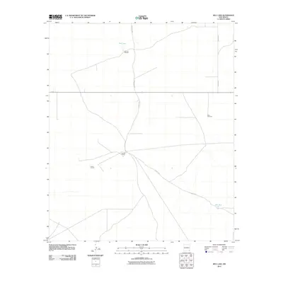 2010 Bell Lake2010 Print · USGSLea County ranching country is documented here during the early twenty-first century, showing the remote network of windmills and desert outposts. Researchers can trace land use at the Double X Ranch or locate water features like Bell Lake and the Slick Windmills.
 - 2010 Map of Monument SW, 2010 Print
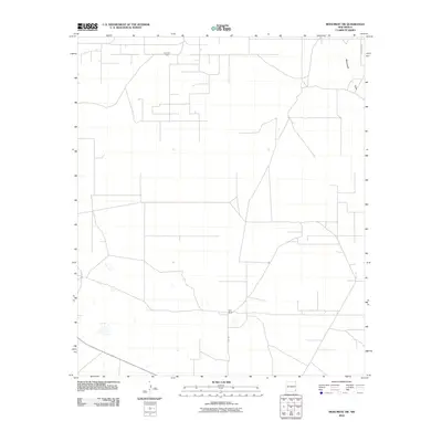 2010 Monument SW2010 Print · USGSSoutheast New Mexico's oil and ranching lands appear in detail just after the first decade of the millennium. Researchers can trace the industrial infrastructure of the Pearl Oil Field or locate the remote Sims Ranch and the path of Monument Draw.
 - 2010 Map of Beacon Hill, 2010 Print
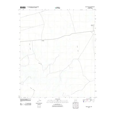 2010 Beacon Hill2010 Print · USGSHidalgo County in the southwestern New Mexico borderlands appears here during a period of modern ranching and rural infrastructure. Genealogists and desert researchers can trace the locations of Antelope and Windmill or follow the paths of Pipeline Rd and Animas Valley.
 - 2010 Map of Puertecito Gap, 2010 Print
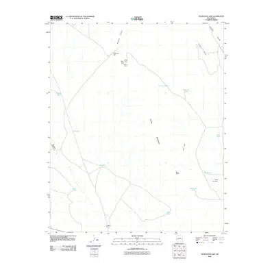 2010 Puertecito Gap2010 Print · USGSSocorro County ranching and mining history come to life in this survey of the high-desert landscape during the early twenty-first century. Genealogists and historians can trace the bounds of Weston Ranch and locate the historic Weston Mine or Magnum Claims.
 - 2010 Map of Animas Peak, 2010 Print
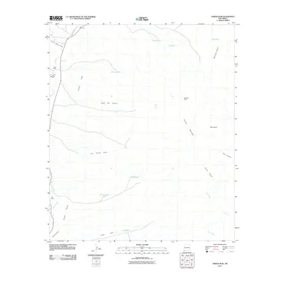 2010 Animas Peak2010 Print · USGSThe southern Animas Mountains and valley floor are captured here during the first decade of the 2000s. Researchers can trace the water infrastructure and ranch boundaries of this arid region, locating landmarks like Gray Ranch, Animas Peak, and Black Bill Spring.
 - 2010 Map of Indian Bluff, 2010 Print
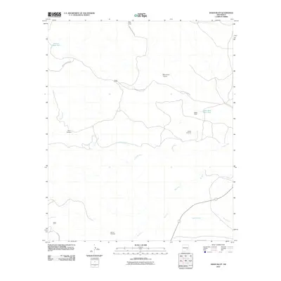 2010 Indian Bluff2010 Print · USGSChaves County ranching lands are captured here in the early twenty-first century, showing the remote canyon systems of south-central New Mexico. Researchers can locate specific high-desert outposts like McGee Ranch and Twin Butte Camp or trace the course of Rio Felix.
 - 2010 Map of Lovington SE, 2010 Print
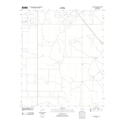 2010 Lovington SE2010 Print · USGSLea County's high plains are shown in detail during the early twenty-first century, capturing a landscape where oil production and ranching coexist. Researchers can trace land use patterns and local landmarks like Turner Ranch, West Lovington Oil Field, and Adobe Well.
 - 2010 Map of Hat Top Mountain, 2010 Print
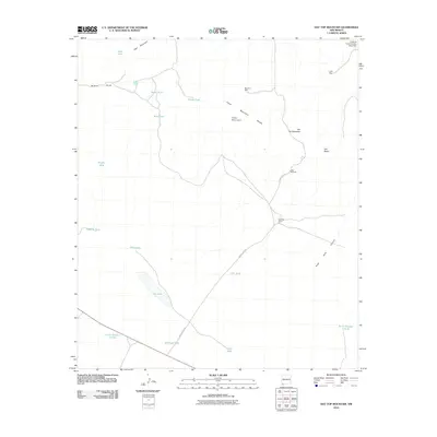 2010 Hat Top Mountain2010 Print · USGSGrant County ranching and mining country is revealed in this early twenty-first-century survey of the high desert. Researchers can trace land use through cattle tanks like Black Tank, the site of Faulkner Ranch, and the remote Lucky Mine.
Showing maps 1-25 of 6,198
Top cities of New Mexico
- Albuquerque historical maps
- Las Cruces historical maps
- Rio Rancho historical maps
- Santa Fe historical maps
- Roswell historical maps
- Farmington historical maps
See more
Top counties of New Mexico
- Bernalillo County historical maps
- Doña Ana County historical maps
- Santa Fe County historical maps
- Sandoval County historical maps
- San Juan County historical maps
- McKinley County historical maps
See more
Frequently asked questions
- What are the different types of historical maps available for New Mexico?
- What is the oldest map of New Mexico?
- Where can I purchase historical maps of New Mexico for my home or office?
- Where can I download high-res historical maps of New Mexico?
- Are there historical topographic maps available for New Mexico?
- Is there historical aerial imagery available for New Mexico?
- Where are historical maps of New Mexico sourced from?