1970s Maps of New Mexico
Explore 461 historic maps of New Mexico from the 1970s. These maps offer a rare glimpse into what life looked like during the 1970s — showing old roads, neighborhoods, homes, and landmarks that have changed or disappeared over time.
Whether you're researching your family's past, planning a metal detecting trip, or studying how New Mexico's landscape evolved across the 1970s, these high-resolution maps are a powerful tool for exploring the history of this region.
- Focus on a specific era: All maps on this page are from the 1970s, giving you a focused view of this time period.
- See what’s changed: Compare century-old streets, trails, and buildings to today's modern landscape using overlays and satellite layers.
- Research with precision: Use these maps for genealogy, historical research, land use analysis, or educational projects.
- View, download, or print: Maps are fully viewable online in high resolution, and can be downloaded or printed for your own records.
Start exploring New Mexico's history through authentic maps from the 1970s. This is your window into the past.
New Mexico maps
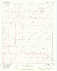
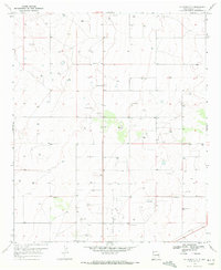
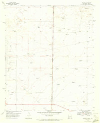
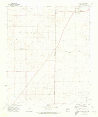
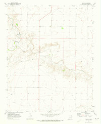
(461)- 1970 Map of Prairieview, 1972 Print
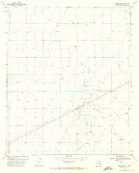 1970 Prairieview1972 Print · USGSLea County, New Mexico, is captured here in the early 1970s as an active hub of oil production and ranching. Genealogists and historians can locate family outposts like Fort Ranch and Pope Ranch while tracing the Denton Oil Field infrastructure.
 - 1970 Map of Prairieview NE, 1972 Print
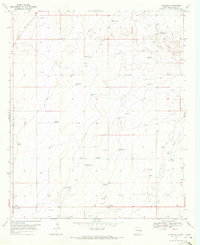
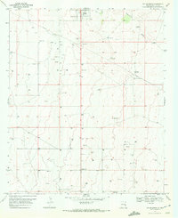
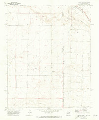
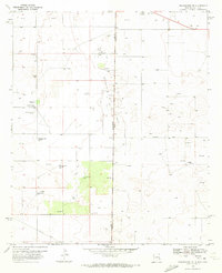 1970 Prairieview NE1972 Print · USGSThe High Plains of Lea County during the early seventies reveal a landscape shaped by ranching and the oil industry. Genealogists and historians can trace local family names through Murphys Chapel Cem and numerous landmarks like Floyd Windmill or the North Townsend Windmill.2 unique versions available
 - 1970 Map of Bronco NE, 1972 Print
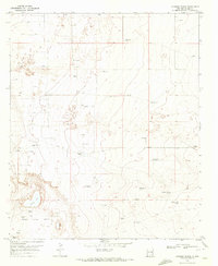
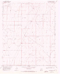
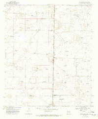 1970 Bronco NE1972 Print · USGSThe high plains borderland between New Mexico and Texas was a hive of energy production and ranching at the start of the seventies. Researchers can trace the development of the Buckshot Oil Field and locate family landmarks like Standefer Ranch or the Davis Windmill.
 - 1970 Map of Prairieview NW, 1972 Print
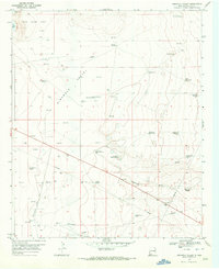
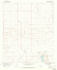
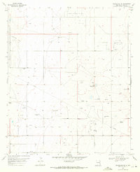 1970 Prairieview NW1972 Print · USGSLea County's high plains are captured here in the early 1970s, during a peak period of oil and gas development. Researchers can trace family ranching sites and local burials like King Cem alongside industrial markers like the Gladiola South Oil Field and Magnus Windmill.
 - 1970 Map of Walking Cane Ranch, 1972 Print
 1970 Walking Cane Ranch1972 Print · USGSLea County ranching and energy production intersect in the early seventies, capturing the isolated desert landscape of the Llano Estacado. Researchers can trace the water infrastructure and industry of the era via Walking Cane Ranch and Lambert Windmill.2 unique versions available
 - 1970 Map of Gladiola, 1972 Print
 1970 Gladiola1972 Print · USGSLea County ranching and petroleum production intersect in the 1970s as the high plains are mapped for industrial growth. Researchers can trace historic family water sources and oil infrastructure, including the Two Section Presley Windmill and the Gladiola Oil Field.
 - 1970 Map of Johnson Ranch, 1972 Print
 1970 Johnson Ranch1972 Print · USGSLea County ranching and energy exploration are captured here during the 1970s. Trace old homesteading sites and vital water sources like Johnson Ranch, the X-4 Corral, and the Four Lakes Area.2 unique versions available
 - 1970 Map of Simanola Valley, 1972 Print
 1970 Simanola Valley1972 Print · USGSLea County ranching and oil production intersect here during the early 1970s. Genealogists and researchers can trace local landmarks like Jones Ranch and an extensive network of historic water stations including East Horse Windmill and the Hill Pasture Top Windmill.
 - 1970 Map of Hillburn City, 1972 Print
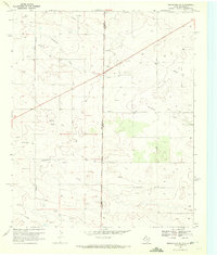
 1970 Hillburn City1972 Print · USGSLea County in the early seventies shows a landscape where the cattle ranching of the past met the growing energy industry. Researchers can trace family landmarks and industrial sites like the Cox Cemetery, the Zip Landing Area, and the Caudill Oil Field.3 unique versions available
 - 1970 Map of Tatum South, 1972 Print
 1970 Tatum South1972 Print · USGSLea County ranching and energy infrastructure meet in the 1970s, showcasing the high plains landscape around the town of Tatum. Genealogists and historians can trace family-named water sources like Keenum Windmill or visit the mid-century Drive-in Theater.2 unique versions available
 - 1970 Map of Alston Ranch, 1972 Print
 1970 Alston Ranch1972 Print · USGSLea County ranching and petroleum interests converge in the early 1970s along the Llano Estacado. Researchers can trace family-named landmarks and water infrastructure like the Alston Ranch, Peveler Place, and the uniquely named Old Dipping Vat Windmill.2 unique versions available
 - 1970 Map of Ranger Lake, 1972 Print
 1970 Ranger Lake1972 Print · USGSLea County ranching and oil interests intersect in the early seventies, centered on the life-giving waters of Ranger Lake. Genealogists and historians can trace family-named landmarks like Mixon Windmill and Royal alongside numerous scattered Oil Wells.2 unique versions available
 - 1970 Map of Bronco, 1972 Print
 1970 Bronco1972 Print · USGSThe high plains along the New Mexico and Texas border come alive in the early 1970s, showing a landscape defined by ranching and energy. Genealogists and historians can trace family-named landmarks like Dillberry Windmill, a rural School, and the Gladiola Oil Field.2 unique versions available
 - 1970 Map of Prairieview SE, 1972 Print
 1970 Prairieview SE1972 Print · USGSThe high plains of the Texas and New Mexico border come into focus in the early seventies, detailing a landscape of rural industry and agriculture. Genealogists and historians can trace local landmarks like Antioch Ch, the Cotton Gin, and family-named routes such as Fillingim Road.
 - 1970 Map of Lingo, 1972 Print
 1970 Lingo1972 Print · USGSThe High Plains at the New Mexico and Texas border come alive in the early seventies, showing a landscape defined by ranching and resource extraction. Trace the footprint of small settlements like Lingo and Griffith alongside a Landing Field and a local Gravel pit.
 - 1970 Map of Tatum North, 1972 Print
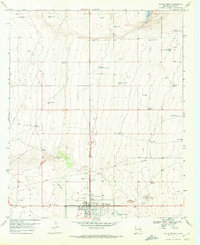 1970 Tatum North1972 Print · USGSThe ranching and oil landscape of eastern New Mexico comes into focus in this early 1970s study of the area north of Tatum. Researchers can trace old family ranching sites like the D Bar Ranch and locate community landmarks including Mt Zion Ch and the Rodeo Ground.
 - 1970 Map of Bledsoe, 1973 Print
 1970 Bledsoe1973 Print · USGSBledsoe was a vital railhead at the edge of the Texas Panhandle during the expansion of the Permian Basin's energy reaches. Genealogists and industrial historians can trace the Atchison Topeka and Santa Fe line and the early development of the Buckshot Oil Field.
 - 1970 Map of Redondo Peak, 1973 Print
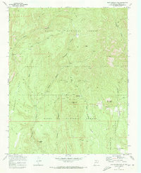
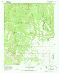
 1970 Redondo Peak1973 Print · USGSHigh in the Jemez Mountains during the 1970s, this area shows the intersection of private land grants and national forest lands. Researchers can trace historic ranch boundaries like Baca Location No 1 alongside landmarks like Headquarters Ranch and the Cerro Pelado Lookout.4 unique versions available
 - 1970 Map of Seven Lakes NW, 1973 Print
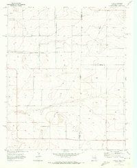
 1970 Seven Lakes NW1973 Print · USGSHigh desert rangeland in McKinley County is captured here in the early seventies, showing a landscape of resource exploration and ancient history. Researchers can trace ancestral sites at Indian Ruins or locate mid-century infrastructure like scattered Drill Holes and seasonal drainages including Fajada Wash.
 - 1970 Map of Standing Rock NW, 1973 Print
 1970 Standing Rock NW1973 Print · USGSMcKinley County, New Mexico, is captured in the early 1970s, showcasing the high-desert terrain within the Navajo Indian Reservation. Researchers can trace the courses of Standing Rock Wash and find the site of a lonely Well.
 - 1970 Map of Bear Springs Peak, 1973 Print
 1970 Bear Springs Peak1973 Print · USGSSandoval County in the early seventies reveals a high-altitude landscape of timber and tribal lands. Genealogists and historians can trace the remote Eliza Seligman Camp and the Bear Springs Guard Station among the peaks of the Santa Fe National Forest.2 unique versions available
 - 1970 Map of Milk Lake, 1973 Print
 1970 Milk Lake1973 Print · USGSMcKinley County ranching and water resources are documented here during the early seventies. Genealogists and researchers can trace local landmarks like I K Ranch, the winding Kim-me-ni-oli Wash, and water sites such as Milk Lake.2 unique versions available
 - 1970 Map of Stead, 1973 Print
 1970 Stead1973 Print · USGSUnion County rangeland meets the Texas border in the early 1970s, showing a landscape of high plains and deep creek draws. Genealogists and local historians can locate rural outposts like Stead and Sparlin situated along the winding Tramperos Creek.
 - 1970 Map of Texline South, 1973 Print
 1970 Texline South1973 Print · USGSThe high plains of the New Mexico and Texas border come alive in this early 1970s survey of the railroad town of Texline. Genealogists and researchers can trace rural infrastructure along the Fort Worth and Denver rail line, Perico Creek, and Carrizo Creek.
 - 1970 Map of Loma Creston, 1973 Print
 1970 Loma Creston1973 Print · USGSThe high desert of Sandoval County in the early seventies reveals a complex landscape of tribal land grants and federal forests. Trace historic boundaries and terrain features like Santa Ana Mesa, Bodega Butte, and the waters of Bear Springs.2 unique versions available
Showing maps 1-25 of 461
Top cities of New Mexico
- Albuquerque historical maps
- Las Cruces historical maps
- Rio Rancho historical maps
- Santa Fe historical maps
- Roswell historical maps
- Farmington historical maps
See more
Top counties of New Mexico
- Bernalillo County historical maps
- Doña Ana County historical maps
- Santa Fe County historical maps
- Sandoval County historical maps
- San Juan County historical maps
- McKinley County historical maps
See more
Frequently asked questions
- What are the different types of historical maps available for New Mexico?
- What is the oldest map of New Mexico?
- Where can I purchase historical maps of New Mexico for my home or office?
- Where can I download high-res historical maps of New Mexico?
- Are there historical topographic maps available for New Mexico?
- Is there historical aerial imagery available for New Mexico?
- Where are historical maps of New Mexico sourced from?