2010s Maps of North Carolina
Explore 3,814 historic maps of North Carolina from the 2010s. These maps offer a rare glimpse into what life looked like during the 2010s — showing old roads, neighborhoods, homes, and landmarks that have changed or disappeared over time.
Whether you're researching your family's past, planning a metal detecting trip, or studying how North Carolina's landscape evolved across the 2010s, these high-resolution maps are a powerful tool for exploring the history of this region.
- Focus on a specific era: All maps on this page are from the 2010s, giving you a focused view of this time period.
- See what’s changed: Compare century-old streets, trails, and buildings to today's modern landscape using overlays and satellite layers.
- Research with precision: Use these maps for genealogy, historical research, land use analysis, or educational projects.
- View, download, or print: Maps are fully viewable online in high resolution, and can be downloaded or printed for your own records.
Start exploring North Carolina's history through authentic maps from the 2010s. This is your window into the past.
North Carolina maps
(3,814)- 2010 Map of Claudville, 2010 Print
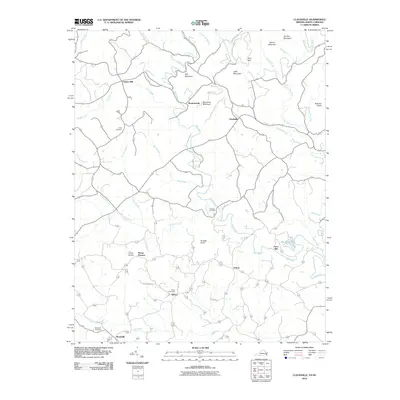 2010 Claudville2010 Print · USGSThe Virginia and North Carolina borderlands come into focus in 2010, showing a landscape defined by the winding Dan River and rural crossroads. Genealogists can trace family roots through numerous burial sites like Hatcher Cemetery and Albion Cemetery, or locate historical industrial sites such as Joyce Mill.
 - 2010 Map of Nelson, 2010 Print
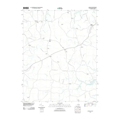 2010 Nelson2010 Print · USGSThe Virginia-North Carolina borderlands near Nelson come to life in this detailed digital survey from the early 2000s. Researchers can trace ancestral roots through numerous family burial sites like Puryear Cemetery or locate old industrial landmarks such as Heights Mill and Willards Mill.
 - 2010 Map of Spencer, 2010 Print
 2010 Spencer2010 Print · USGSTracing the borderlands of North Carolina and Virginia in the modern era, this map highlights the river-bound communities of the Piedmont. Genealogists and historians can locate family burial sites at Harris Cemetery or trace the area around Sheppards Mill and Amostown.
 - 2010 Map of Stuart SE, 2010 Print
 2010 Stuart SE2010 Print · USGSThe Virginia and North Carolina borderlands come into focus in 2010, showing a landscape of river-powered industry and mountain settlements. Genealogists can trace family names at Beasley Cemetery or locate landmarks like Jessup Mill and Harts Store.
 - 2010 Map of Nettleridge, 2010 Print
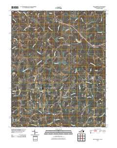 2010 Nettleridge2010 Print · USGSThe Virginia and North Carolina borderlands come into focus in 2010, showing the rural communities along the South Mayo River. Genealogists and historians can trace family locations near Nettle Ridge Cemetery or the historic Gilbert Mill.
 - 2010 Map of Virgilina, 2010 Print
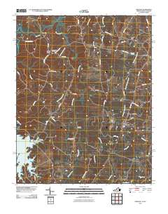 2010 Virgilina2010 Print · USGSVirgilina and the surrounding borderlands of Halifax County are captured here at the start of the 2010s. Local historians can trace family roots through several burial sites including Shady Grove Cemetery and Rogers Cemetery, or locate the rural crossroads of Christie and Hyco.
 - 2010 Map of Mouth of Wilson, 2010 Print
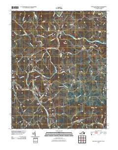 2010 Mouth of Wilson2010 Print · USGSThe North Carolina and Virginia borderlands come alive in this 2010 survey of the New River’s forks. Trace local history through family burial sites like Gold Hill Cemetery and river crossings at Weavers Ford and Kings Creek Ford.
 - 2010 Map of Gates, 2010 Print
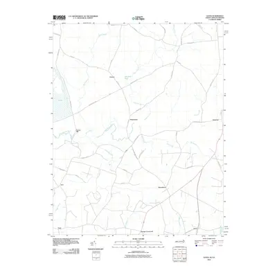 2010 Gates2010 Print · USGSThe North Carolina-Virginia borderlands appear here in the early 2000s, characterized by rural settlements and sprawling swamplands. Researchers can trace the layout of community hubs like Reynoldson, Pittmantown, and Cleopus along the winding banks of Somerton Creek.
 - 2010 Map of Riverdale, 2010 Print
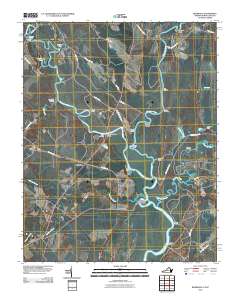 2010 Riverdale2010 Print · USGSThe Virginia and North Carolina borderlands come alive in this map of the river-heavy terrain around the Chowan and Nottoway rivers. Genealogists and historians can trace numerous riverfront landmarks and small settlements like Riddicksville, Cobbs Wharf, and Wyanoke.
 - 2010 Map of Wagram, 2010 Print
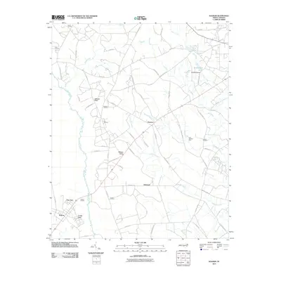 2010 Wagram2010 Print · USGSCoastal plain settlements and expansive swamp networks characterize this Hoke County region in the early twenty-first century. Researchers can trace family history through numerous landmarks including McMillan Cemetery, Purcell Cemetery, and the community at Wagram.
 - 2010 Map of Lilesville, 2010 Print
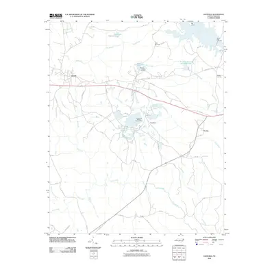 2010 Lilesville2010 Print · USGSAnson County at the start of the 2010s shows a landscape deeply shaped by the Pee Dee River and local industry. Researchers can trace the development of rural communities like Lilesville and Cairo, or locate industrial landmarks such as the Blewett Falls Dam and B V Hedrick Sand and Gravel Lake.
 - 2010 Map of Silver Hill, 2010 Print
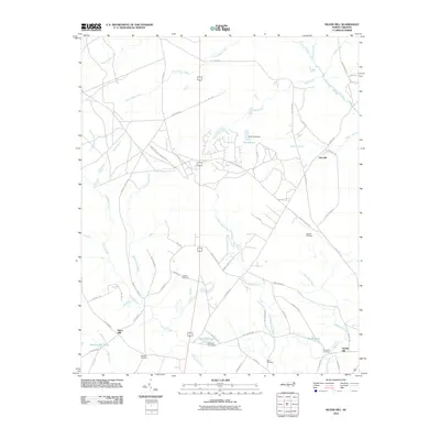 2010 Silver Hill2010 Print · USGSCoastal plain agriculture and family homesteads define this area of North Carolina during the early twenty-first century. Genealogists can locate several family burial grounds including Wrights Cemetery and McNeill Cemetery, or trace the path of Old Wire Rd.
 - 2010 Map of Red Springs, 2010 Print
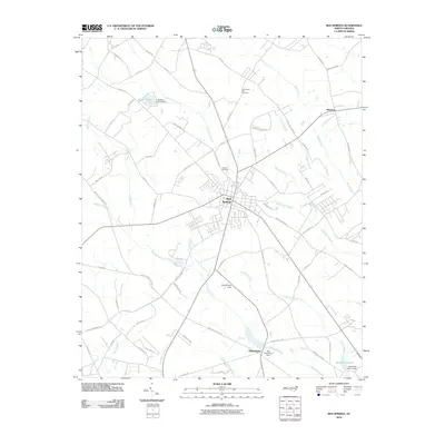 2010 Red Springs2010 Print · USGSRobeson County at the start of the 2010s shows a landscape woven with traditional wetlands and growing rural communities. Researchers can trace ancestral sites and local landmarks like Alloway Cemetery, the waters of Little Raft Swamp, and the historic Confederate Field.
 - 2010 Map of Wakulla, 2010 Print
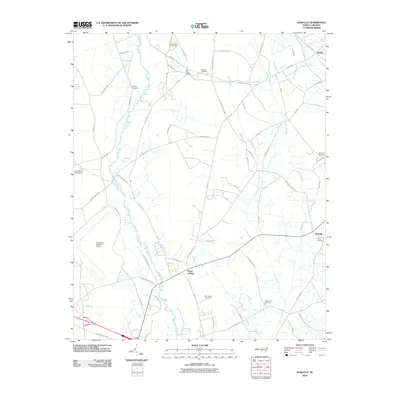 2010 Wakulla2010 Print · USGSRobeson County at the start of the 2010s reveals a rural landscape defined by its deep swamp waters and family history. Researchers can trace ancestral roots through numerous local burial grounds like McPhatter Cemetery and Smith Cemetery or locate the historic site of Floral College.
 - 2010 Map of Laurinburg, 2010 Print
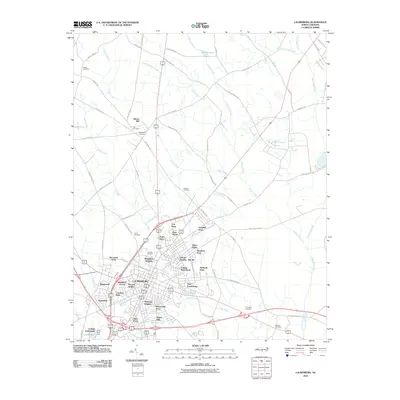 2010 Laurinburg2010 Print · USGSLaurinburg and the surrounding Scotland County countryside are shown here at the start of the decade. Genealogists and local researchers can trace dozens of neighborhoods and family burial sites including Hillside Cemetery, Gibson Mill, and McBryde Farm.
 - 2010 Map of Hamlet, 2010 Print
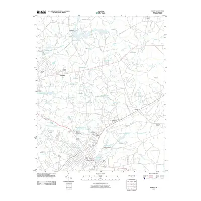 2010 Hamlet2010 Print · USGSHamlet and the industrial corridor of Richmond County are shown in detail at the start of the decade. Genealogists and local historians can trace family-named sites like Gibsons Millpond, Hopewell Cemetery, and the historic rail lines of the CSX RR.
 - 2010 Map of Fairmont, 2010 Print
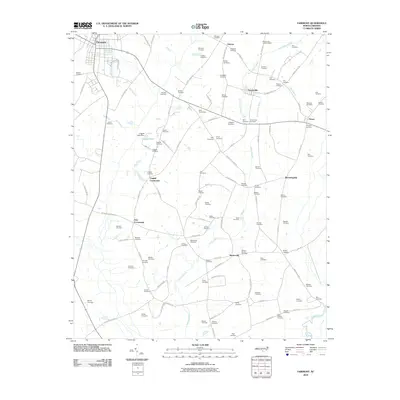 2010 Fairmont2010 Print · USGSRobeson County at the start of the 2010s reveals a rural landscape defined by historic crossroads and extensive swamp networks. Genealogists can trace hundreds of family names through sites like Bullock Cemetery and Byrd Cemeteries near Proctorville.
 - 2010 Map of Marston, 2010 Print
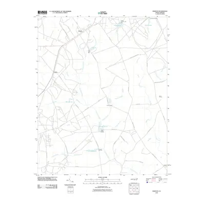 2010 Marston2010 Print · USGSNorth Carolina's Sandhills region near Marston and Cognac is shown here in the early twenty-first century. Researchers can trace family sites at the Watson Cemetery and explore a landscape of managed waters like Gum Swamp Lake and McLeods Lake.
 - 2010 Map of Pembroke, 2010 Print
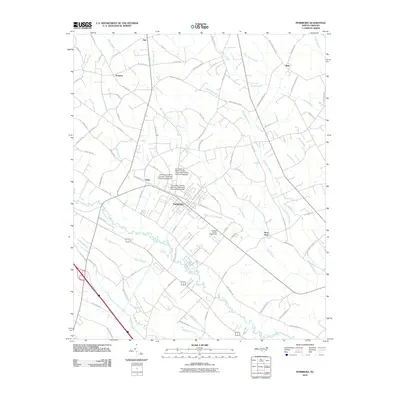 2010 Pembroke2010 Print · USGSPembroke and its surrounding Robeson County wetlands are documented here during a period of steady growth for the local university campus. Researchers can trace the layout of Lumbee Hall and locate rural communities like Prospect and Moss Neck.
 - 2010 Map of Rockingham, 2010 Print
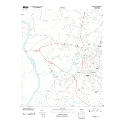 2010 Rockingham2010 Print · USGSRockingham and the industrial corridor of Richmond County are shown here in the first decade of the millennium. Researchers can trace local development across neighborhoods like West Rockingham and Cordova or find ancestral sites at Northan Cemetery.
 - 2010 Map of Parkton, 2010 Print
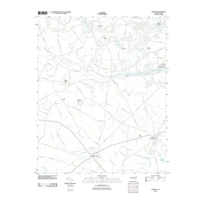 2010 Parkton2010 Print · USGSThe crossroads of Lumber Bridge and Parkton anchor this 2010 survey of North Carolina's wetland-rich coastal plain. Researchers can trace family history through Wood Cemetery and McGougan Cemetery or locate landmarks like the Parkton Lookout Tower.
 - 2010 Map of Maxton, 2010 Print
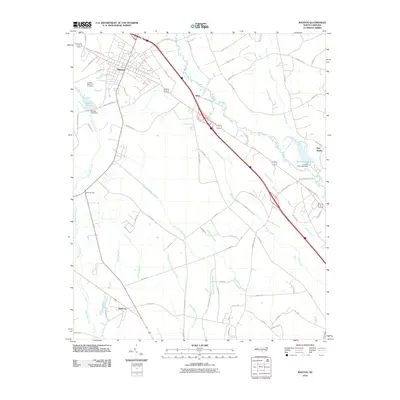 2010 Maxton2010 Print · USGSCoastal plain settlements and expansive wetlands define this North Carolina region in the early twenty-first century. Researchers can locate the McLeod Memorial Cemetery and trace the paths of Shoe Heel Creek and the Lumber River.
 - 2010 Map of McDonald, 2010 Print
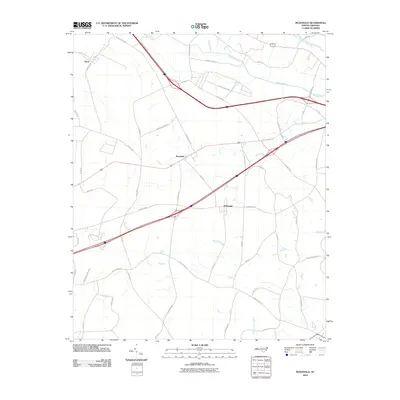 2010 McDonald2010 Print · USGSRobeson County is shown here in the first decade of the millennium, characterized by a complex network of wetlands and rural communities. Genealogists and local historians can trace family-named routes and local landmarks like Addison Tram Rd, McDonald, and Benson Chapel Rd.
 - 2010 Map of Northwest Lumberton, 2010 Print
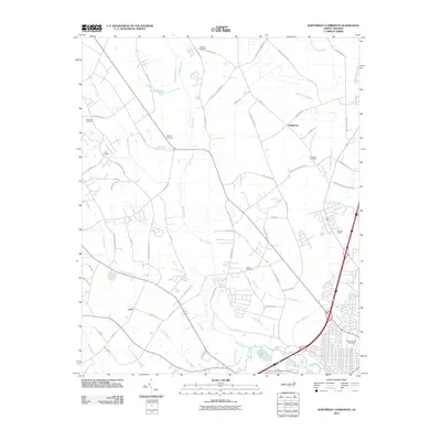 2010 Northwest Lumberton2010 Print · USGSRobeson County at the end of the first decade of the 2000s shows a landscape of persistent rural communities and expansive swamp systems. Genealogists can trace family landmarks like Boone Cemetery, Lowry Cemetery, and the settlement of Saddletree.
 - 2010 Map of Mooresville, 2010 Print
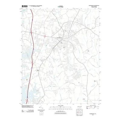 2010 Mooresville2010 Print · USGSIredell County at the close of the decade shows a region of significant growth and suburban transition. Researchers can trace local development near Lake Norman or locate historical burial grounds like Willow Valley Cemetery and Green Acres Cemetery.
Showing maps 1-25 of 3,814
Top cities of North Carolina
- Charlotte historical maps
- Raleigh historical maps
- Greensboro historical maps
- Durham historical maps
- Winston-Salem historical maps
- Fayetteville historical maps
See more
Top counties of North Carolina
- Mecklenburg County historical maps
- Wake County historical maps
- Guilford County historical maps
- Forsyth County historical maps
- Cumberland County historical maps
- Durham County historical maps
See more
Frequently asked questions
- What are the different types of historical maps available for North Carolina?
- What is the oldest map of North Carolina?
- Where can I purchase historical maps of North Carolina for my home or office?
- Where can I download high-res historical maps of North Carolina?
- Are there historical topographic maps available for North Carolina?
- Is there historical aerial imagery available for North Carolina?
- Where are historical maps of North Carolina sourced from?