2020s Maps of North Carolina
Explore 1,006 historic maps of North Carolina from the 2020s. These maps offer a rare glimpse into what life looked like during the 2020s — showing old roads, neighborhoods, homes, and landmarks that have changed or disappeared over time.
Whether you're researching your family's past, planning a metal detecting trip, or studying how North Carolina's landscape evolved across the 2020s, these high-resolution maps are a powerful tool for exploring the history of this region.
- Focus on a specific era: All maps on this page are from the 2020s, giving you a focused view of this time period.
- See what’s changed: Compare century-old streets, trails, and buildings to today's modern landscape using overlays and satellite layers.
- Research with precision: Use these maps for genealogy, historical research, land use analysis, or educational projects.
- View, download, or print: Maps are fully viewable online in high resolution, and can be downloaded or printed for your own records.
Start exploring North Carolina's history through authentic maps from the 2020s. This is your window into the past.
North Carolina maps
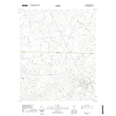
(1,006)- 2020 Map of Standingstone Mountain, 2020 Print
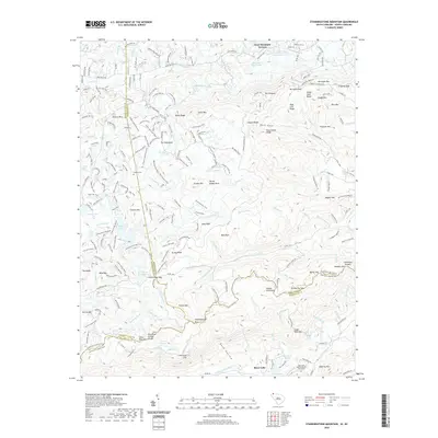 2020 Standingstone Mountain2020 Print · USGSCovers North Carolina, including Jeter Mountain Terrace, Greenville County, and other nearby areas
 - 2020 Map of Fingerville West, 2020 Print
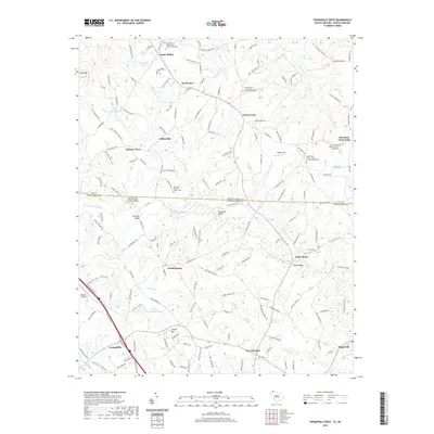 2020 Fingerville West2020 Print · USGSCovers North Carolina, including Campobello, Green Creek, and other nearby areas
 - 2020 Map of Table Rock, 2020 Print
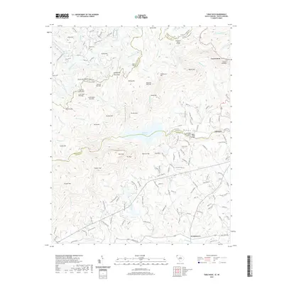 2020 Table Rock2020 Print · USGSCovers North Carolina, including Lakemont, Liberia, and other nearby areas
 - 2020 Map of Landrum, 2020 Print
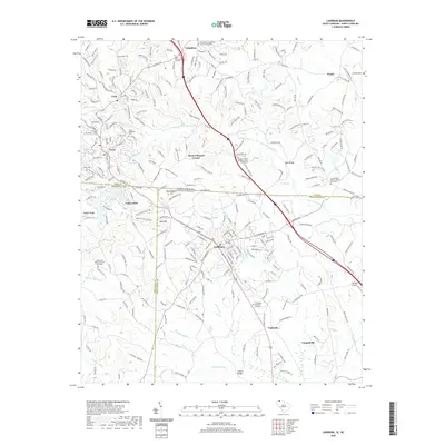 2020 Landrum2020 Print · USGSCovers North Carolina, including Landrum, Tryon, and other nearby areas
 - 2020 Map of Fort Mill, 2020 Print
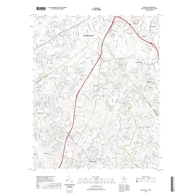 2020 Fort Mill2020 Print · USGSCovers North Carolina, including Charlotte, Fort Mill, and other nearby areas
 - 2020 Map of Chesnee, 2020 Print
 2020 Chesnee2020 Print · USGSCovers North Carolina, including Chesnee, State Line, and other nearby areas
 - 2020 Map of Fingerville East, 2020 Print
 2020 Fingerville East2020 Print · USGSCovers North Carolina, including Cooley Springs, Sandy Springs, and other nearby areas
 - 2020 Map of Blacksburg North, 2020 Print
 2020 Blacksburg North2020 Print · USGSCovers North Carolina, including Shelby, Blacksburg, and other nearby areas
 - 2020 Map of Lake Wylie, 2020 Print
 2020 Lake Wylie2020 Print · USGSCovers North Carolina, including Charlotte, Rock Hill, and other nearby areas
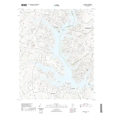
 - 2020 Map of Lake View, 2020 Print
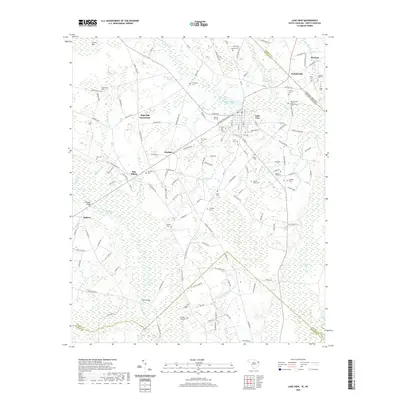 2020 Lake View2020 Print · USGSCovers North Carolina, including Lake View, Marietta, and other nearby areas
 - 2020 Map of Duford, 2020 Print
 2020 Duford2020 Print · USGSCovers North Carolina, including Floyds Crossroads, Duford, and other nearby areas
 - 2020 Map of Dillon East, 2020 Print
 2020 Dillon East2020 Print · USGSCovers North Carolina, including Dillon, Hamer, and other nearby areas
 - 2020 Map of Minturn, 2020 Print
 2020 Minturn2020 Print · USGSCovers North Carolina, including Minturn, Sinclair Crossroads, and other nearby areas
 - 2020 Map of Mount Croghan, 2020 Print
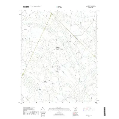
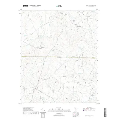 2020 Mount Croghan2020 Print · USGSCovers North Carolina, including Ruby, Mount Croghan, and other nearby areas
 - 2020 Map of Tradesville, 2020 Print
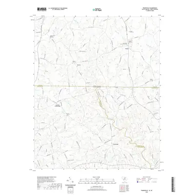 2020 Tradesville2020 Print · USGSCovers North Carolina, including Stewart Crossroads, Trinity, and other nearby areas
 - 2020 Map of Catawba NE, 2020 Print
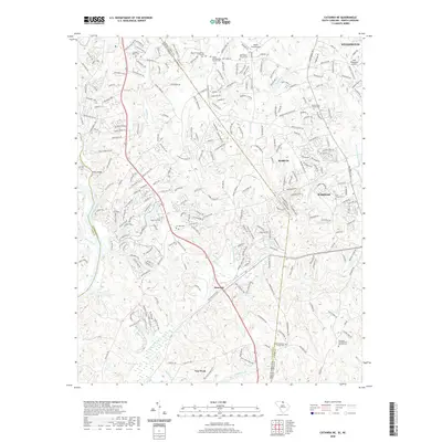 2020 Catawba NE2020 Print · USGSCovers North Carolina, including Waxhaw, Weddington, and other nearby areas
 - 2020 Map of McColl, 2020 Print
 2020 McColl2020 Print · USGSCovers North Carolina, including Laurinburg, McColl, and other nearby areas
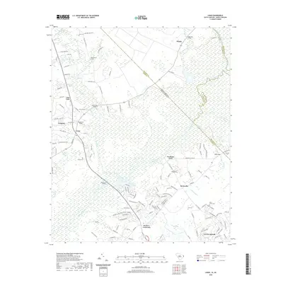
 - 2020 Map of Unity, 2020 Print
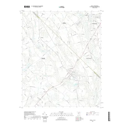
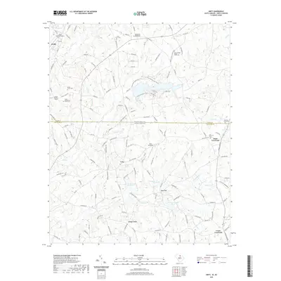 2020 Unity2020 Print · USGSCovers North Carolina, including New Cut, Jackson, and other nearby areas
 - 2020 Map of Hornsboro, 2020 Print
 2020 Hornsboro2020 Print · USGSCovers North Carolina, including Pageland, Maynards, and other nearby areas
 - 2020 Map of Van Wyck, 2020 Print
 2020 Van Wyck2020 Print · USGSCovers North Carolina, including Lancaster, Shiloh, and other nearby areas
 - 2020 Map of Pageland, 2020 Print
 2020 Pageland2020 Print · USGSCovers North Carolina, including Pageland, High Point, and other nearby areas
 - 2020 Map of Little River, 2020 Print
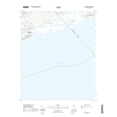 2020 Little River2020 Print · USGSCovers North Carolina, including North Myrtle Beach, Sunset Beach, and other nearby areas
 - 2020 Map of Longs, 2020 Print
 2020 Longs2020 Print · USGSCovers North Carolina, including Little River, Worthams Ferry, and other nearby areas
 - 2020 Map of Macedonia, 2020 Print
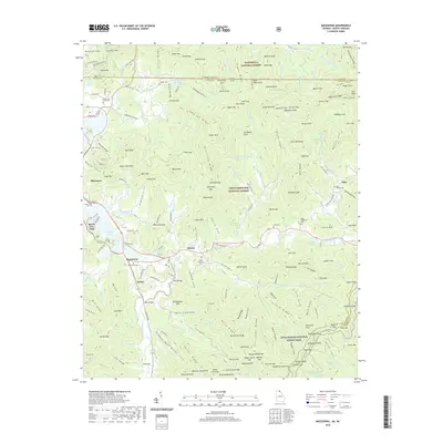 2020 Macedonia2020 Print · USGSCovers North Carolina, including Hiawassee, Beech Cove Vista, and other nearby areas
 - 2020 Map of Dillard, 2020 Print
 2020 Dillard2020 Print · USGSCovers North Carolina, including Clayton, Mountain City, and other nearby areas
Showing maps 1-25 of 1,006
Top cities of North Carolina
- Charlotte historical maps
- Raleigh historical maps
- Greensboro historical maps
- Durham historical maps
- Winston-Salem historical maps
- Fayetteville historical maps
See more
Top counties of North Carolina
- Mecklenburg County historical maps
- Wake County historical maps
- Guilford County historical maps
- Forsyth County historical maps
- Cumberland County historical maps
- Durham County historical maps
See more
Frequently asked questions
- What are the different types of historical maps available for North Carolina?
- What is the oldest map of North Carolina?
- Where can I purchase historical maps of North Carolina for my home or office?
- Where can I download high-res historical maps of North Carolina?
- Are there historical topographic maps available for North Carolina?
- Is there historical aerial imagery available for North Carolina?
- Where are historical maps of North Carolina sourced from?