2020s Maps of Oregon
Explore 3,358 historic maps of Oregon from the 2020s. These maps offer a rare glimpse into what life looked like during the 2020s — showing old roads, neighborhoods, homes, and landmarks that have changed or disappeared over time.
Whether you're researching your family's past, planning a metal detecting trip, or studying how Oregon's landscape evolved across the 2020s, these high-resolution maps are a powerful tool for exploring the history of this region.
- Focus on a specific era: All maps on this page are from the 2020s, giving you a focused view of this time period.
- See what’s changed: Compare century-old streets, trails, and buildings to today's modern landscape using overlays and satellite layers.
- Research with precision: Use these maps for genealogy, historical research, land use analysis, or educational projects.
- View, download, or print: Maps are fully viewable online in high resolution, and can be downloaded or printed for your own records.
Start exploring Oregon's history through authentic maps from the 2020s. This is your window into the past.
Oregon maps
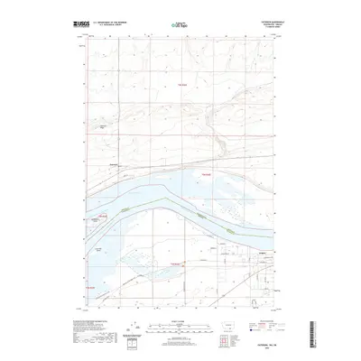
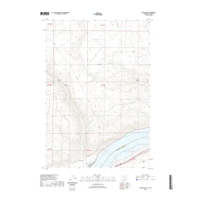
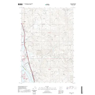
(3,358)- 2020 Map of Cape Disappointment, 2020 Print
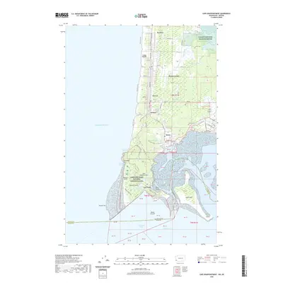 2020 Cape Disappointment2020 Print · USGSCovers Oregon, including Long Beach, Ilwaco, and other nearby areas
 - 2020 Map of Sundale, 2020 Print
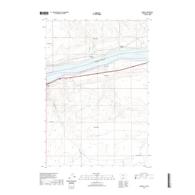 2020 Sundale2020 Print · USGSCovers Oregon, including Sundale, Klickitat County, and other nearby areas
 - 2020 Map of Buroker, 2020 Print
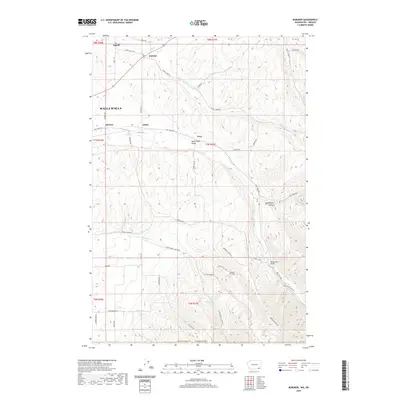 2020 Buroker2020 Print · USGSCovers Oregon, including Walla Walla, Harbert, and other nearby areas
 - 2020 Map of Touchet, 2020 Print
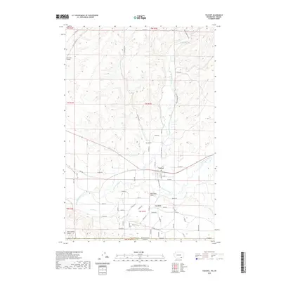 2020 Touchet2020 Print · USGSCovers Oregon, including Gardena, Touchet, and other nearby areas
 - 2020 Map of Paterson, 2020 Print
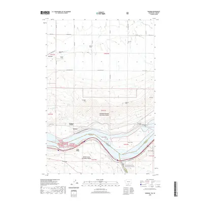
 2020 Paterson2020 Print · USGSCovers Oregon, including Irrigon, Paterson, and other nearby areas
 - 2020 Map of Wallula, 2020 Print
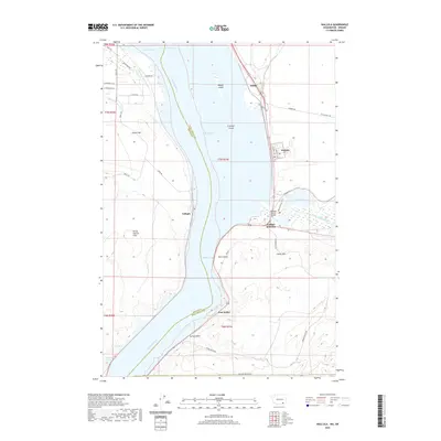 2020 Wallula2020 Print · USGSCovers Oregon, including Wallula, Yellepit, and other nearby areas
 - 2020 Map of Kooskooskie, 2020 Print
 2020 Kooskooskie2020 Print · USGSCovers Oregon, including Kooskooskie, Umatilla County, and other nearby areas
 - 2020 Map of Golgotha Butte, 2020 Print
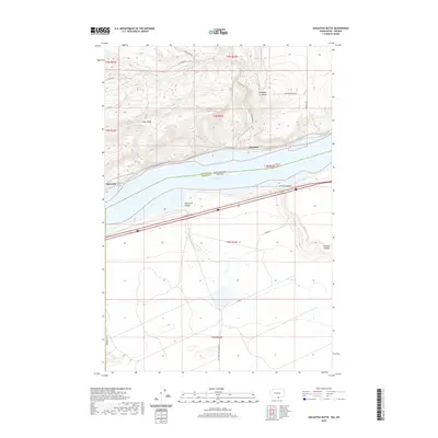 2020 Golgotha Butte2020 Print · USGSCovers Oregon, including Klickitat County, Gilliam County, and other nearby areas
 - 2020 Map of Wood Gulch, 2020 Print
 2020 Wood Gulch2020 Print · USGSCovers Oregon, including Klickitat County, Gilliam County, and other nearby areas
 - 2020 Map of Zangar Junction, 2020 Print
 2020 Zangar Junction2020 Print · USGSCovers Oregon, including Zangar Junction, Reese, and other nearby areas
 - 2020 Map of College Place, 2020 Print
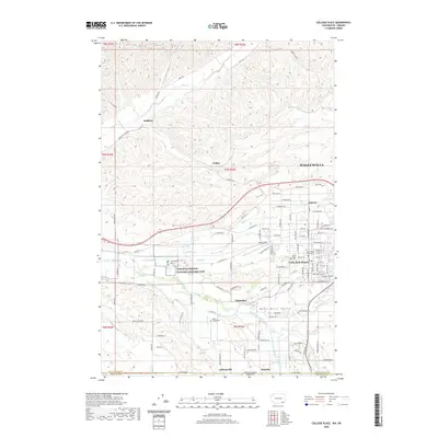 2020 College Place2020 Print · USGSCovers Oregon, including Walla Walla, College Place, and other nearby areas
 - 2020 Map of Walla Walla, 2020 Print
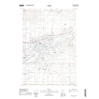 2020 Walla Walla2020 Print · USGSCovers Oregon, including Walla Walla, College Place, and other nearby areas
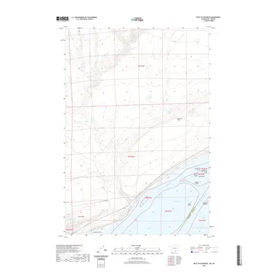
 - 2020 Map of West of Paterson, 2020 Print
 2020 West of Paterson2020 Print · USGSCovers Oregon, including Benton County, Morrow County, and other nearby areas
 - 2020 Map of Crow Butte, 2020 Print
 2020 Crow Butte2020 Print · USGSCovers Oregon, including Benton County, Klickitat County, and other nearby areas
 - 2020 Map of White Salmon, 2020 Print
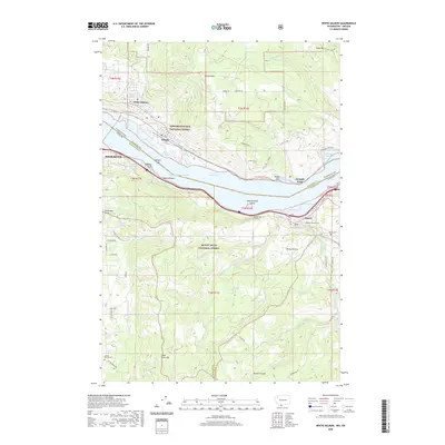 2020 White Salmon2020 Print · USGSCovers Oregon, including Hood River, White Salmon, and other nearby areas
 - 2020 Map of Lowden, 2020 Print
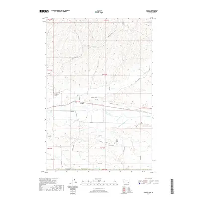 2020 Lowden2020 Print · USGSCovers Oregon, including Lowden, Umatilla County, and other nearby areas
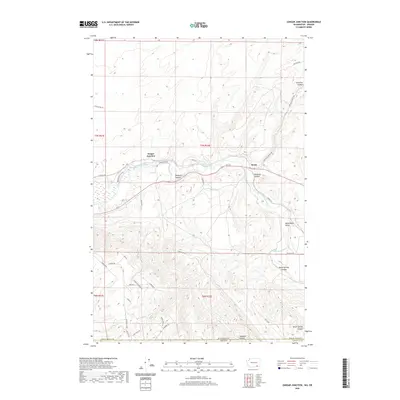
 - 2020 Map of Carson, 2020 Print
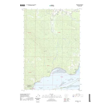
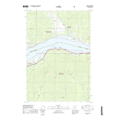 2020 Carson2020 Print · USGSCovers Oregon, including Carson, Stevenson, and other nearby areas
 - 2020 Map of Stacker Butte, 2020 Print
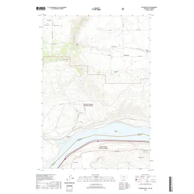 2020 Stacker Butte2020 Print · USGSCovers Oregon, including Avery, Wasco County, and other nearby areas
 - 2020 Map of Washougal, 2020 Print
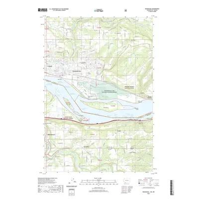 2020 Washougal2020 Print · USGSCovers Oregon, including Camas, Springdale, and other nearby areas
 - 2020 Map of Vancouver, 2020 Print
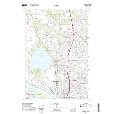 2020 Vancouver2020 Print · USGSCovers Oregon, including Portland, Vancouver, and other nearby areas
 - 2020 Map of Kelso, 2020 Print
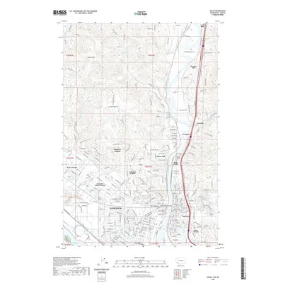 2020 Kelso2020 Print · USGSCovers Oregon, including Longview, Kelso, and other nearby areas
 - 2020 Map of Kalama, 2020 Print
 2020 Kalama2020 Print · USGSCovers Oregon, including Kelso, Kalama, and other nearby areas
 - 2020 Map of Skamokawa, 2020 Print
 2020 Skamokawa2020 Print · USGSCovers Oregon, including Skamokawa, Clatsop County, and other nearby areas
 - 2020 Map of Wishram, 2020 Print
 2020 Wishram2020 Print · USGSCovers Oregon, including Wishram Heights, Celilo Village, and other nearby areas
 - 2020 Map of Knappton, 2020 Print
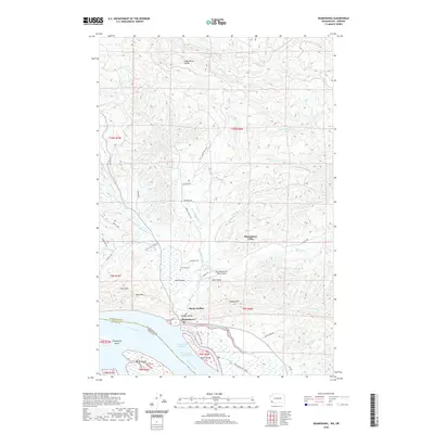
 2020 Knappton2020 Print · USGSCovers Oregon, including Naselle, Knappton, and other nearby areas
Showing maps 1-25 of 3,358
Top cities of Oregon
- Portland historical maps
- Eugene historical maps
- Salem historical maps
- Gresham historical maps
- Bend historical maps
- Hillsboro historical maps
See more
Top counties of Oregon
- Multnomah County historical maps
- Washington County historical maps
- Clackamas County historical maps
- Lane County historical maps
- Marion County historical maps
- Jackson County historical maps
See more
Frequently asked questions
- What are the different types of historical maps available for Oregon?
- What is the oldest map of Oregon?
- Where can I purchase historical maps of Oregon for my home or office?
- Where can I download high-res historical maps of Oregon?
- Are there historical topographic maps available for Oregon?
- Is there historical aerial imagery available for Oregon?
- Where are historical maps of Oregon sourced from?