2000s (21st Century) Maps of Oregon
Explore 9,731 historic maps of Oregon from the 2000s (21st Century). These maps offer a rare glimpse into what life looked like during the 2000s — showing old roads, neighborhoods, homes, and landmarks that have changed or disappeared over time.
Whether you're researching your family's past, planning a metal detecting trip, or studying how Oregon's landscape evolved across the 2000s, these high-resolution maps are a powerful tool for exploring the history of this region.
- Focus on a specific era: All maps on this page are from the 2000s, giving you a focused view of this time period.
- See what’s changed: Compare century-old streets, trails, and buildings to today's modern landscape using overlays and satellite layers.
- Research with precision: Use these maps for genealogy, historical research, land use analysis, or educational projects.
- View, download, or print: Maps are fully viewable online in high resolution, and can be downloaded or printed for your own records.
Start exploring Oregon's history through authentic maps from the 2000s. This is your window into the past.
Oregon maps
(9,731)- 2001 Map of Deadman Point, 2004 Print
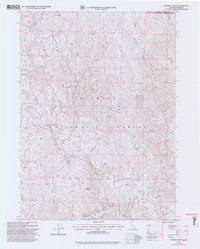 2001 Deadman Point2004 Print · USGSThe Siskiyou mountain borderlands at the turn of the millennium reveal a rugged landscape of ridges and remote mining claims. Genealogists and historians can trace the paths of Grayback Road to the Ruby Mine, Classic H Mine, and localized prospects near Deadman Point.2 unique versions available
 - 2001 Map of Siskiyou Pass, 2004 Print
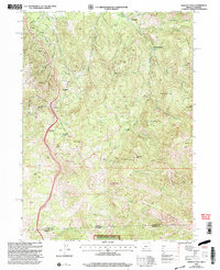 2001 Siskiyou Pass2004 Print · USGSThe Oregon and California borderlands meet at the high divide of the Siskiyou Mountains in this early 2000s survey. You can trace the Pacific Crest National Scenic Trail as it passes Siskiyou Summit and the historic Dollarhide location.
 - 2001 Map of Mule Hill, 2004 Print
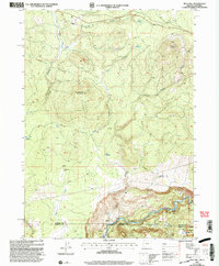 2001 Mule Hill2004 Print · USGSThe high timber and river country of the Oregon-California border comes into focus at the turn of the millennium. Genealogists and historians can trace the foundations of former outposts at Pokegama (Site) and find family history at the Way Cem near the Klamath River.
 - 2001 Map of Chicken Hills, 2004 Print
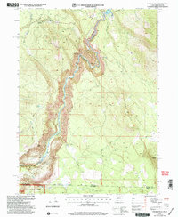 2001 Chicken Hills2004 Print · USGSThe Oregon-California borderlands along the Klamath River are shown here just after the turn of the millennium. Researchers can trace industrial infrastructure like the John C Boyle Powerplant and historical sites such as Topsy (Site).
 - 2004 Map of Ferguson Mountain
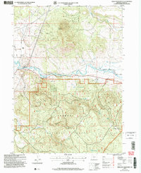 2004 Ferguson Mountain2004 Print · USGSKlamath County timber and ranching country comes into focus in the early 2000s as the Sprague River winds toward Beatty Gap. Researchers can trace the water history of the Fremont National Forest through features like Elder Ditch and Eagle Spring.
 - 2004 Map of Foster Butte, 2007 Print
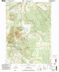 2004 Foster Butte2007 Print · USGSThe Fremont National Forest in the early 2000s reveals a high-altitude landscape shaped by water and timber. Researchers can trace historic range features like McCall Dipping Vat Spring or explore landmarks like Foster Butte and Buckaroo Lake.
 - 2004 Map of Coleman Point, 2007 Print
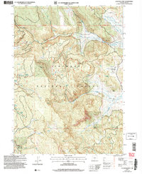 2004 Coleman Point2007 Print · USGSLake County high country is shown here in the early 2000s, where national forest land meets remote ranching outposts. Researchers can trace historic land use and water sources through Anderson Ranch, the Morgan Prospect, and landmarks like Coleman Point.
 - 2004 Map of Coffeepot Creek, 2007 Print
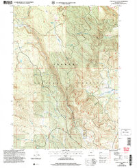 2004 Coffeepot Creek2007 Print · USGSLake County high country comes into focus in the early 2000s, showing a landscape defined by forest management and rugged drainages. Researchers can locate remote outposts like Scissors Cabin or trace the path of the Hanan Trail and Dead Horse Rim Trail.
 - 2004 Map of Bridge Creek Draw, 2007 Print
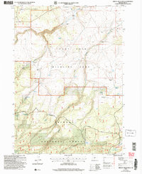 2004 Bridge Creek Draw2007 Print · USGSLake County ranching and conservation efforts are captured here in the early 2000s, showing a landscape defined by isolated homesteads and public forest lands. Genealogists and local historians can locate specific family-named landmarks like Pitcher Ranch, Brewer Ranch, and the McBroom Spring.
 - 2004 Map of Shoestring Butte, 2007 Print
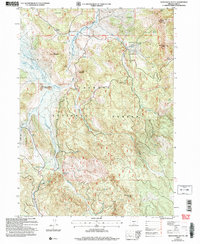 2004 Shoestring Butte2007 Print · USGSLake County's high forest country is captured here in the early 2000s, showing the complex watershed and fire-watch infrastructure of the day. Trace the path of the Chewaucan River or locate remote landmarks like the Shoestring Butte Lookout and Thomas Creek Work Center.
 - 2004 Map of Thompson Reservoir, 2007 Print
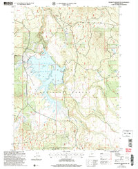 2004 Thompson Reservoir2007 Print · USGSLake County high country comes into focus in the early 2000s, centered on the waters of the Thompson Reservoir. Outdoor enthusiasts and historians can trace the remote trails and forest roads leading to Tool Box Spring, family-named landmarks like McCall Cr, and the industrial Cinder Pits.
 - 2004 Map of Oatman Flat, 2007 Print
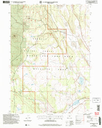 2004 Oatman Flat2007 Print · USGSLake County, Oregon, at the start of the 21st century reveals a landscape defined by volcanic buttes and isolated homesteads. Genealogists and historians can trace family-named sites like Deadmond Place and Stratton Place or locate remote camps such as Freeman Dry Camp.
 - 2004 Map of Bly, 2007 Print
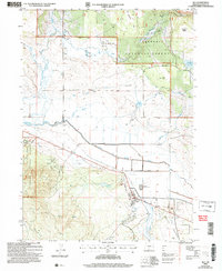 2004 Bly2007 Print · USGSKlamath County timber and ranching lands come into focus in the early 2000s near the junction of the Sprague River forks. Researchers can trace the heritage of the wood industry at the Ivory Pine Mill (Site) and find family landmarks like Hyde Reservoir and Garner (Site).
 - 2004 Map of Horsefly Mountain, 2007 Print
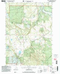 2004 Horsefly Mountain2007 Print · USGSHigh-altitude meadows and volcanic ridges define this portion of the Fremont National Forest during the early 2000s. Researchers can trace the water network of Skedaddle Spring and McKendree Reservoir or locate the site of Gerber Ranch.
 - 2004 Map of Crooked Creek Valley, 2007 Print
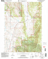 2004 Crooked Creek Valley2007 Print · USGSRanching life and timber management define this corner of Lake County at the turn of the millennium. Genealogists and historians can trace family-named sites like Kittleson Place and Gunkel Ranch along the Outback Scenic Byway.
 - 2004 Map of Pole Butte, 2007 Print
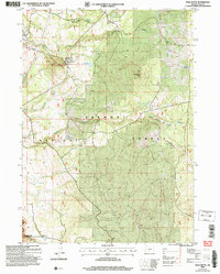 2004 Pole Butte2007 Print · USGSLake County high country within the Fremont National Forest is documented here at the turn of the millennium. Researchers can trace forest management landmarks like the Puddle Spring Guard Station or locate remote water sources such as Emigrant Lake and Picture Tree Springs.
 - 2004 Map of Cougar Peak, 2007 Print
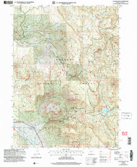 2004 Cougar Peak2007 Print · USGSThe Fremont National Forest is revealed in detail during the early 2000s, showing a landscape defined by timber, water, and high ridges. Researchers can trace the ranching history at Drews Valley Ranch or locate backcountry landmarks like Razor Back Ridge and Cottonwood Meadow Lake.
 - 2004 Map of Harvey Creek, 2007 Print
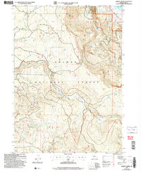 2004 Harvey Creek2007 Print · USGSLake County, Oregon, remains a landscape of high-elevation forest and river canyons at the start of the millennium. Researchers can trace the paths of the Fremont National Recreation Trail, locate the Snow Cabin, and identify the Prospect site.
 - 2004 Map of Lakeview, 2007 Print
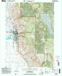 2004 Lakeview2007 Print · USGSLakeview sits at the edge of the high desert and timbered mountains during the early 2000s. Researchers can trace the local infrastructure from the IOOF Cem and Hay Sch to the nearby Warner Canyon Ski Area.
 - 2004 Map of Cuprum, 2007 Print
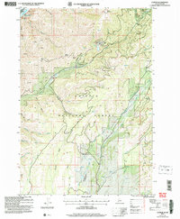 2004 Cuprum2007 Print · USGSThe high forest lands above the Snake River come into focus in this early 2000s study of Adams County. Researchers can locate the mining history of the Copper Cliff Mine, the settlement at Cuprum, and the remote Seven Devils Ranch Landing Strip.
 - 2004 Map of Clover Flat, 2007 Print
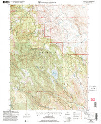 2004 Clover Flat2007 Print · USGSLake County, Oregon, is captured here in the early 2000s, showing a landscape defined by federal forest management and ranching. Genealogists and historians can locate the Counts Ranch and trace water rights at O'Leary Reservoir or Buck Spring.
 - 2004 Map of Shake Butte, 2007 Print
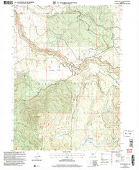 2004 Shake Butte2007 Print · USGSThe Fremont National Forest in the early 2000s reveals a managed wilderness where the Sycan River meets historic travel routes. Researchers can trace the Emigrant Crossing (Site), locate the Currier Guard Station, and study the drainage of Kingry Marsh.
 - 2004 Map of Quartz Valley, 2007 Print
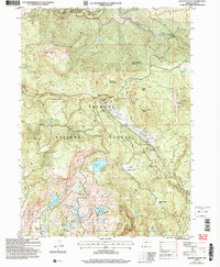 2004 Quartz Valley2007 Print · USGSHigh-altitude Oregon forest and water management define this area in the early 2000s. Researchers can trace the footprint of mountain industry at Quartz Mountain or locate sites like Angel Camp (Site) and Creed Field.
 - 2004 Map of Ponina Butte, 2007 Print
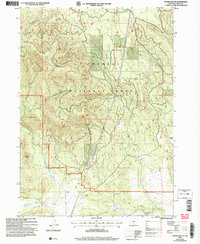 2004 Ponina Butte2007 Print · USGSThe Fremont National Forest in the early 2000s shows a landscape of volcanic buttes and vital water sources. Researchers can trace high-country landmarks like Ponina Butte, the remote Foster Field, and numerous family-named springs including Petland Spring.
 - 2004 Map of Fremont Point, 2007 Print
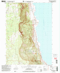 2004 Fremont Point2007 Print · USGSThe high-desert escarpments of Lake County are captured here in the early 2000s as the Fremont National Recreation Trail skirts the edge of Winter Ridge. Trace the topography from the Fremont Point Fire Lookout Tower down to the Ana River and the shores of Summer Lake.
Showing maps 1-25 of 9,731
Top cities of Oregon
- Portland historical maps
- Eugene historical maps
- Salem historical maps
- Gresham historical maps
- Bend historical maps
- Hillsboro historical maps
See more
Top counties of Oregon
- Multnomah County historical maps
- Washington County historical maps
- Clackamas County historical maps
- Lane County historical maps
- Marion County historical maps
- Jackson County historical maps
See more
Frequently asked questions
- What are the different types of historical maps available for Oregon?
- What is the oldest map of Oregon?
- Where can I purchase historical maps of Oregon for my home or office?
- Where can I download high-res historical maps of Oregon?
- Are there historical topographic maps available for Oregon?
- Is there historical aerial imagery available for Oregon?
- Where are historical maps of Oregon sourced from?