2020s Maps of Harney County, Oregon
Explore 451 historic maps of Harney County from the 2020s. These maps offer a rare glimpse into what life looked like during the 2020s — showing old roads, neighborhoods, homes, and landmarks that have changed or disappeared over time.
Whether you're researching your family's past, planning a metal detecting trip, or studying how Harney County's landscape evolved across the 2020s, these high-resolution maps are a powerful tool for exploring the history of this region.
- Focus on a specific era: All maps on this page are from the 2020s, giving you a focused view of this time period.
- See what’s changed: Compare century-old streets, trails, and buildings to today's modern landscape using overlays and satellite layers.
- Research with precision: Use these maps for genealogy, historical research, land use analysis, or educational projects.
- View, download, or print: Maps are fully viewable online in high resolution, and can be downloaded or printed for your own records.
Start exploring Harney County's history through authentic maps from the 2020s. This is your window into the past.
Harney County, OR maps
(451)- 2020 Map of Whitehorse Ranch, 2020 Print
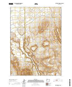 2020 Whitehorse Ranch2020 Print · USGSRemote ranching and high-desert water management define this corner of Southeast Oregon in the twenty-first century. Researchers can trace the rugged road network and seasonal drainages surrounding Whitehorse Ranch, Bog Hole Reservoir, and Whitehorse Butte.
 - 2020 Map of Borax Lake, 2020 Print
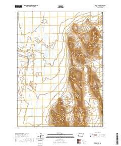 2020 Borax Lake2020 Print · USGSHarney County's high desert hydrology is documented in this recent survey of the Alvord Basin. Researchers can trace the unique thermal features of Borax Hot Springs and the seasonal waters of Alvord Lake and Salt Springs.
 - 2020 Map of V Lake, 2020 Print
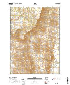 2020 V Lake2020 Print · USGSHarney County's high-desert terrain is captured here in the early twenty-first century, showing the remote drainages of the Great Basin. Genealogists and historians can trace family-named landmarks like Smith Flat, the isolated Bingo Reservoir, and the paths of Home Creek and Miranda Creek.
 - 2020 Map of Tule Springs, 2020 Print
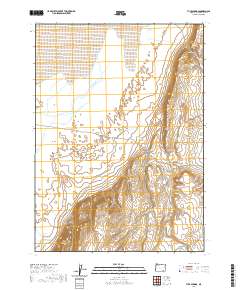 2020 Tule Springs2020 Print · USGSHarney County's high desert reaches are captured here in the modern era, showing the transition from basin floor to upland rim. Researchers can locate critical water sources like Sailor Jack Spring and trace the geologic scale of the Tule Springs Rims and Howluk Butte.
 - 2020 Map of Colony Ranch, 2020 Print
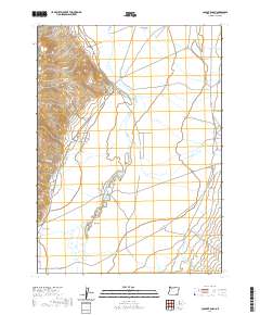 2020 Colony Ranch2020 Print · USGSHarney County ranching country is captured here in the late 2010s, showcasing the high-desert transition between the Pueblo Mountains and Pueblo Valley. Trace local landmarks like the Colony Ranch and the water paths of Pueblo Slough and Mapes Flat.
 - 2020 Map of Fields, 2020 Print
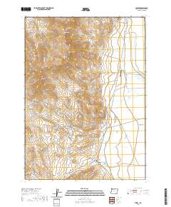 2020 Fields2020 Print · USGSFields and the southeastern foothills of Steens Mtn appear here in a recent survey of this remote high-desert crossroads. Researchers can trace the junction of the Fields-Denio Rd, locate El Rancho Airport, and find hidden water sources like Pedro Spring and O'Keeffe Spring.
 - 2020 Map of Alvord Hot Springs, 2020 Print
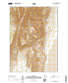 2020 Alvord Hot Springs2020 Print · USGSSteens Mountain towers over the desert floor in this 2020 survey of Harney County. Researchers can trace the geothermal waters at Alvord Hot Springs, follow the drainage of Wildhorse Cr, and locate remote points like Belzar Spring.
 - 2020 Map of Tombstone Canyon, 2020 Print
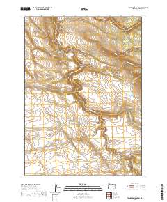 2020 Tombstone Canyon2020 Print · USGSSoutheastern Oregon’s high-desert canyons and drainage basins are captured in detail during this modern survey. Researchers and geographers can trace the winding Donner und Blitzen River and locate vital water sources like Tombstone Spring and the Fred Kiddles Reservoir.
 - 2020 Map of Fields Basin, 2020 Print
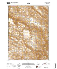 2020 Fields Basin2020 Print · USGSThe high desert of Harney County is captured here in its modern state, showing the dramatic rise of Catlow Rim and the Pueblo Mountains. Local historians can trace water rights and grazing land via Eleven Horse Reservoir, Pearl-Wise Springs, and Fields Basin.
 - 2020 Map of Mickey Springs, 2020 Print
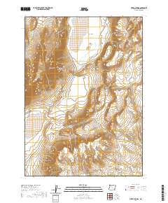 2020 Mickey Springs2020 Print · USGSHarney County's high desert landscape is recorded here in the modern era, showing the critical water sources that sustain this arid region. Genealogists and desert travelers can trace the path of Mickey Alvord Wells Rd past Mickey Butte and Crippled Horse Spring.
 - 2020 Map of Johnny Creek SW, 2020 Print
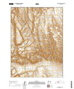 2020 Johnny Creek SW2020 Print · USGSSoutheast Oregon’s high desert plateau is shown here in the 2020s, dominated by the uplift of the Sheepshead Mountains. Researchers can trace remote ranching infrastructure including Steel Post Reservoir, Table Mtn, and the winding Three Forks Reservoir Rd.
 - 2020 Map of Van Horn Basin, 2020 Print
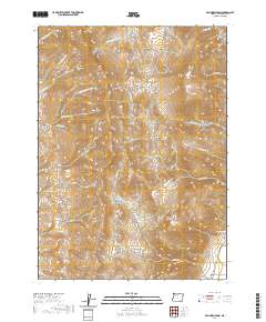 2020 Van Horn Basin2020 Print · USGSHarney County's high desert peaks and basins are detailed in this recent survey of the Oregon-Nevada borderlands. Local history researchers can trace the roads near Denio Cem and locate landmarks like Propeller Meadows and Van Horn Basin.
 - 2020 Map of Tule Springs NE, 2020 Print
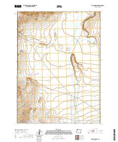 2020 Tule Springs NE2020 Print · USGSHarney County's high desert landscape is documented here in the early twenty-first century, showing the remote and open character of eastern Oregon. Genealogists and historians can trace the seasonal flow of Willow Cr and the precise grid of T35S R35E.
 - 2020 Map of Red Lookout Butte, 2020 Print
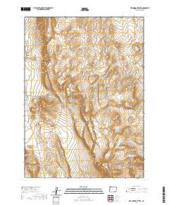 2020 Red Lookout Butte2020 Print · USGSHigh desert volcanic terrain and vital water sources define this Harney County landscape during the early twenty-first century. Researchers can trace the drainage patterns and catchments surrounding Buckskin Mtn Lookout Butte, Red Lookout Butte, and Buckskin Spring.
 - 2020 Map of Comegys Lake, 2020 Print
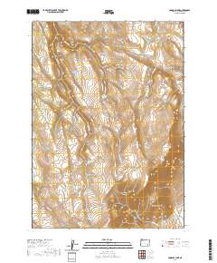 2020 Comegys Lake2020 Print · USGSHigh desert plateaus and the slopes of Steens Mtn characterize this portion of Harney County as it appeared in recent years. Researchers can trace vital water sources and remote landmarks like Ross Dollahide Springs, Dollar Lake, and Puhi-Pane Na-De Flat.
 - 2020 Map of Pole Canyon, 2020 Print
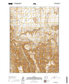 2020 Pole Canyon2020 Print · USGSHarney County's high desert landscape and the Trout Creek Mountains are recorded here in 2020. Researchers can trace the essential water sources of the region, from the Stony Spring Reservoir and Lonely Reservoir to natural landmarks like Flagstaff Butte.
 - 2020 Map of Robbers Roost, 2020 Print
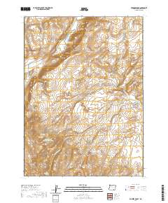 2020 Robbers Roost2020 Print · USGSHarney County's high-desert landscape is captured here in the contemporary era, showing a region defined by its water management and ranching legacy. Researchers can trace remote water sources like Roux Spring, Oreana Reservoir, and the namesake Robbers Roost.
 - 2020 Map of Coffin Butte, 2020 Print
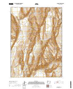 2020 Coffin Butte2020 Print · USGSHarney County's high-desert terrain is captured in this recent survey, showcasing a landscape of isolated peaks and vast basins. Local history and geography enthusiasts can trace the route of Table Mountain Well Rd past Sulphur Springs and across the wide White Sage Flat.
 - 2020 Map of The V, 2020 Print
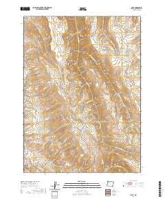 2020 The V2020 Print · USGSHarney County's high-desert peaks and canyons are documented here in the early twenty-first century. Researchers can trace remote water sources and cattle-country landmarks like Marking Corral Canyon, Catlow Peak, and the Kings River.
 - 2020 Map of Juniper Lake, 2020 Print
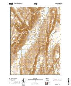 2020 Juniper Lake2020 Print · USGSHarney County's high desert landscape is captured here in the 2020s, showing a region defined by remote basins and mountain slopes. Researchers can locate vital water sources like Neal Spring and Pollock Reservoir along the Fields-Denio Rd.
 - 2020 Map of Irish Lake, 2020 Print
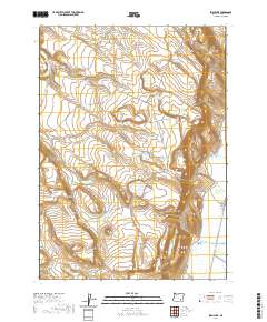 2020 Irish Lake2020 Print · USGSHigh desert water management and remote grazing lands in Harney County are documented in this recent survey. Local historians can trace the essential network of stock water sources, from John Cabin Spring to the Company Trough and Bailey Waterhole.
 - 2020 Map of Garrison Lake, 2020 Print
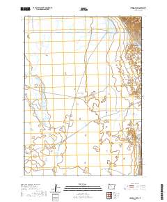 2020 Garrison Lake2020 Print · USGSHarney County's high desert water systems are documented in this 2020 study of the basin south of the Steens. Researchers can trace ranching infrastructure across the Catlow Valley, including Stockwater Ditch and Threemile Reservoir.
 - 2020 Map of Ankle Creek, 2020 Print
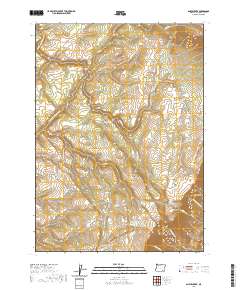 2020 Ankle Creek2020 Print · USGSSteens Mountain and the surrounding high-elevation country of Harney County are captured here in the early twenty-first century. Local historians and researchers can trace the drainages of the Donner und Blitzen River and locate features like Penland Meadow and Joe Huff Spring.
 - 2020 Map of Guano Reservoir, 2020 Print
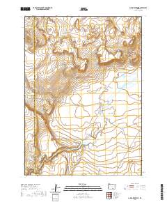 2020 Guano Reservoir2020 Print · USGSHarney County's high-desert basin remains a landscape of seasonal water and volcanic terrain in the early twenty-first century. Researchers can trace the drainage of Guano Slough into the Guano Reservoir or locate the boundary of Catlow Valley near Black Canyon.
 - 2020 Map of Keg Springs Valley West, 2020 Print
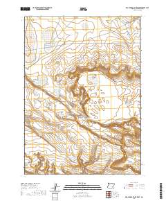 2020 Keg Springs Valley West2020 Print · USGSHarney County's high desert reaches are documented here in the modern era, showing a landscape defined by vital water catchments. Researchers can trace land management history through features like the Foster Lake CCC Rd, Keg Springs Valley, and Rocky Butte.
Showing maps 1-25 of 451
Top cities of Harney County
Frequently asked questions
- What are the different types of historical maps available for Harney County?
- What is the oldest map of Harney County?
- Where can I purchase historical maps of Harney County for my home or office?
- Where can I download high-res historical maps of Harney County?
- Are there historical topographic maps available for Harney County?
- Is there historical aerial imagery available for Harney County?
- Where are historical maps of Harney County sourced from?