2020s Maps of Iron County, Utah
Explore 163 historic maps of Iron County from the 2020s. These maps offer a rare glimpse into what life looked like during the 2020s — showing old roads, neighborhoods, homes, and landmarks that have changed or disappeared over time.
Whether you're researching your family's past, planning a metal detecting trip, or studying how Iron County's landscape evolved across the 2020s, these high-resolution maps are a powerful tool for exploring the history of this region.
- Focus on a specific era: All maps on this page are from the 2020s, giving you a focused view of this time period.
- See what’s changed: Compare century-old streets, trails, and buildings to today's modern landscape using overlays and satellite layers.
- Research with precision: Use these maps for genealogy, historical research, land use analysis, or educational projects.
- View, download, or print: Maps are fully viewable online in high resolution, and can be downloaded or printed for your own records.
Start exploring Iron County's history through authentic maps from the 2020s. This is your window into the past.
Iron County, UT maps
(163)- 2020 Map of Pine Park, 2020 Print
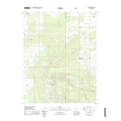 2020 Pine Park2020 Print · USGSThe Utah-Nevada borderlands are captured here in the early twenty-first century, showcasing the remote volcanic terrain of the Dixie National Forest. Trace backcountry routes like Beaver Dam Rd and locate vital water sources such as Pine Park Spring and Schroeder Lake.
 - 2020 Map of Enoch NW, 2020 Print
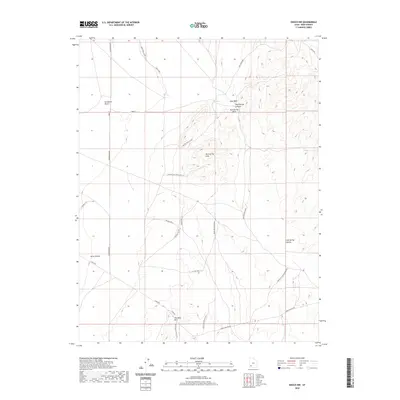 2020 Enoch NW2020 Print · USGSIron County in the early twenty-first century is defined by the high desert plains and rugged ridges of the Basin and Range. Researchers can trace the legacy of land use through remote desert tracks and landmarks like Mud Spring Hills, Lund Hwy, and the Escalante Desert.
 - 2020 Map of Kolob Reservoir, 2020 Print
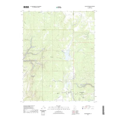 2020 Kolob Reservoir2020 Print · USGSWashington County high country appears in great detail during this modern survey, revealing the intersection of protected wilderness and ranching history. Researchers can locate the Kolob Mountain Cem or trace the canyons of the Virgin Wild and Scenic River near Lava Point.
 - 2020 Map of Enoch, 2020 Print
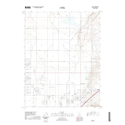 2020 Enoch2020 Print · USGSIron County's eastern valley comes into focus in this recent survey, where the expanding community of Enoch meets the Hurricane Cliffs. Researchers can locate legacy sites like Fort Johnson and Enoch Cem alongside the dramatic Hurricane Fault.
 - 2020 Map of Page Ranch, 2020 Print
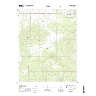 2020 Page Ranch2020 Print · USGSIron and Washington counties meet in this 2020 landscape, documenting the legacy of regional mining and ranching. Genealogists and local historians can locate early sites like Old Irontown and The Dairy or trace routes through the Harmony Mountains via the Summit Trail.
 - 2020 Map of Bannion Spring, 2020 Print
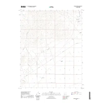 2020 Bannion Spring2020 Print · USGSIron County, Utah, is seen here in the recent past, where remote water sources and rugged canyons meet the desert floor. Researchers can trace the path of the Tillie Spring Pipe Line or locate family-named landmarks like Marys Hollow and Negro Liza Wash.
 - 2020 Map of Antelope Peak, 2020 Print
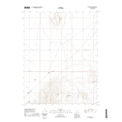 2020 Antelope Peak2020 Print · USGSIron County, Utah, is shown in the modern era as a landscape of isolated peaks and vast desert basins. Researchers can trace landforms and water sources like Antelope Peak, Table Butte, and the springs at Antelope Springs.
 - 2020 Map of Hebron, 2020 Print
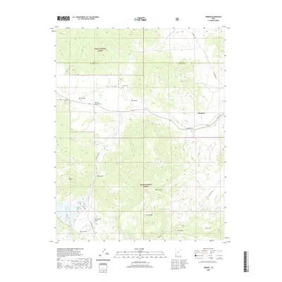 2020 Hebron2020 Print · USGSNear the Nevada border in the early twenty-first century, this area of Washington County shows the intersection of livestock ranching and forest lands. Genealogists and historians can locate the Hebron Cem and trace the paths through the Dixie National Forest and Honeycomb Rocks.
 - 2020 Map of Cedar Mountain, 2020 Print
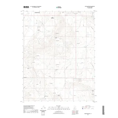 2020 Cedar Mountain2020 Print · USGSIron County’s high plateau country is captured here during the early twenty-first century, showing the interface between the cliffs and the mountains. Trace modern access roads and topographic landmarks like The Pyramids, Lee Point, and the residential area of Cedar Highlands.
 - 2020 Map of Kanarraville, 2020 Print
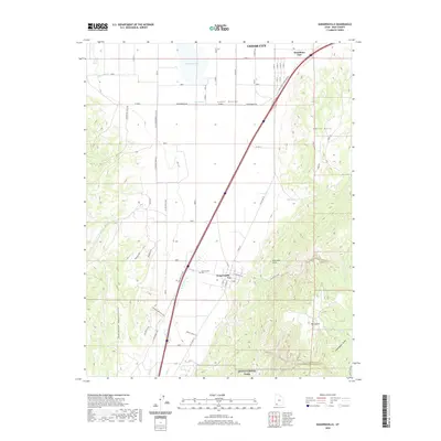 2020 Kanarraville2020 Print · USGSIron County settlement at the edge of the plateau is documented here just after the turn of the millennium. Genealogists and historians can trace the landscape around Kanarraville, including the Kanarraville Cem, Hamiltons Fort, and the towering Hurricane Cliffs.
 - 2020 Map of Heist, 2020 Print
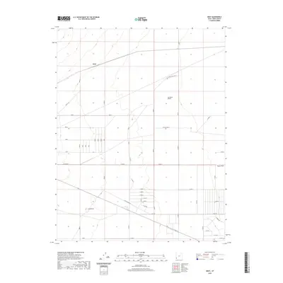 2020 Heist2020 Print · USGSIron County’s desert landscape is captured here in the early twenty-first century, showing the grid-based development of the Escalante Desert. Researchers can trace the layout of the Heist area through local routes like W Old Modena Rd and Antelope Rd.
 - 2020 Map of Newcastle, 2020 Print
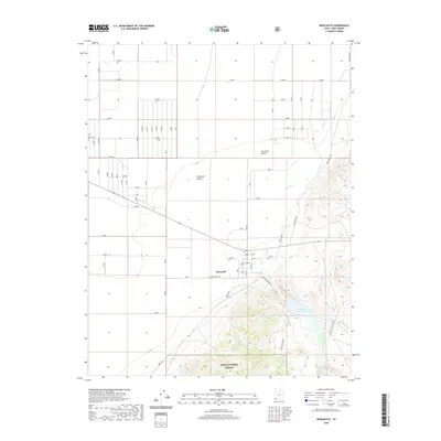 2020 Newcastle2020 Print · USGSNewcastle and the eastern margins of the Escalante Valley are shown here in the early twenty-first century. Researchers can trace the local water systems and rural infrastructure including the Newcastle Reservoir, Newcastle Cem, and Pinto Cr.
 - 2020 Map of Cedar City NW, 2020 Print
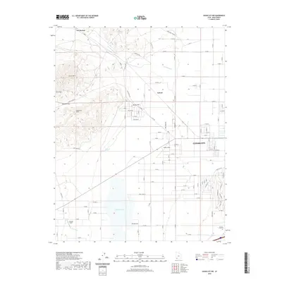 2020 Cedar City NW2020 Print · USGSIron County’s high desert landscape and the western expansion of Cedar City are captured here in the contemporary era. Researchers can trace land use from the Hamilton Family Cem to the waters of Quichapa Lake.
 - 2020 Map of Beryl, 2020 Print
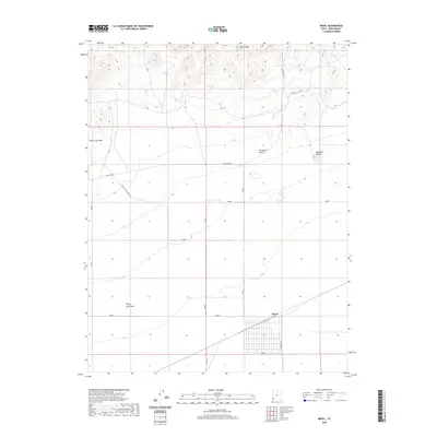 2020 Beryl2020 Print · USGSIron County’s desert interior is captured here in the twenty-first century as the settlement of Beryl meets the rugged Escalante Desert. Researchers can trace the intersection of mountain terrain and desert floor near North Peaks and Websters Knolls.
 - 2020 Map of Mount Escalante, 2020 Print
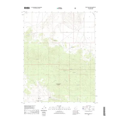 2020 Mount Escalante2020 Print · USGSIron County's high desert peaks and deep draws are captured in this recent survey of the Utah backcountry. Researchers can trace the paths of the S Devils Gap Cutoff and Old Modena Rd near the slopes of Mt Escalante.
 - 2020 Map of The Three Peaks, 2020 Print
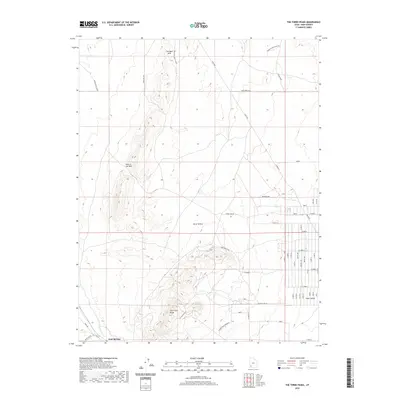 2020 The Three Peaks2020 Print · USGSIron County’s desert interior is documented here in the early twenty-first century, showing the intersection of ranching and mining land. Researchers can trace the water path of Iron Springs Cr or locate The Mines and Shearing Pen on the flats.
 - 2020 Map of Modena, 2020 Print
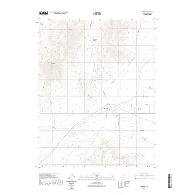 2020 Modena2020 Print · USGSThe high-desert outpost of Modena in Iron County is shown here in the early twenty-first century. Researchers can trace local lineage at the Modena Cem and locate land features like Mt Elenore, Desert Spring, and the vast Escalante Desert.
 - 2020 Map of Clark Farm, 2020 Print
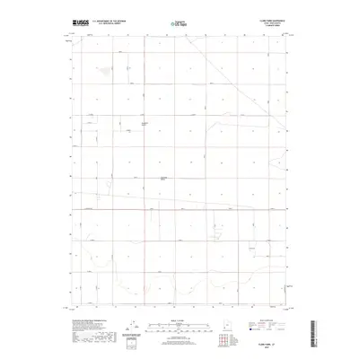 2020 Clark Farm2020 Print · USGSIron County's desert agricultural landscape is shown in detail at the start of the 2020s, highlighting the grid of the valley floor. Researchers can trace rural property boundaries and access points near Clark Farm and along Sand Spring Rd and E Antelope Rd.
 - 2020 Map of Silver Peak, 2020 Print
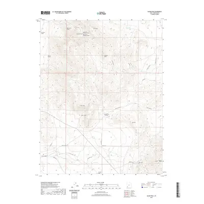 2020 Silver Peak2020 Print · USGSIron County’s mining and ranching heritage is preserved in this modern survey of the high desert. Researchers can trace historic access routes and resource-rich landmarks like Chloride Canyon, Iron Mtn, and the high point of Silver Peak.
 - 2020 Map of Enoch NE, 2020 Print
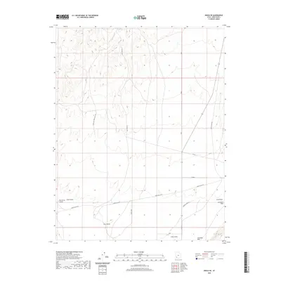 2020 Enoch NE2020 Print · USGSIron County ranching country is shown here in the early twenty-first century, spanning the basin and its surrounding uplands. Researchers can trace land-use patterns and water sources like Lost Spring along routes such as Esplin Loop and Gap Rd.
 - 2020 Map of Avon NW, 2020 Print
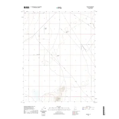 2020 Avon NW2020 Print · USGSIron County's high desert landscape is documented here in the early twenty-first century, showing a mix of remote transit routes and aviation. Researchers can trace the path of the Lund Hwy or locate the Sun Valley Estates Airport and Table Butte.
 - 2020 Map of Enterprise, 2020 Print
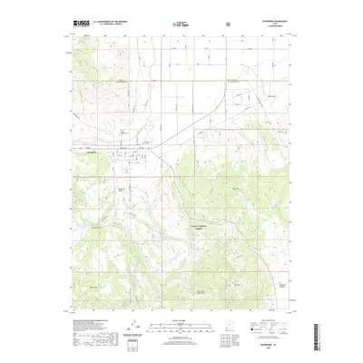 2020 Enterprise2020 Print · USGSEnterprise and the Escalante Valley are documented here in the early twenty-first century, showing a landscape defined by ranching and high-desert terrain. Genealogists and local historians can locate Winsor Memorial Cem, the Gary and Joyce Holt Reservoir, and the winding Shinbone Trail.
 - 2020 Map of Kolob Arch, 2020 Print
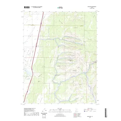 2020 Kolob Arch2020 Print · USGSWashington County at the start of the 2020s shows a landscape defined by protected wilderness and historical travel corridors. Hikers and historians can trace the Kolob Arch Trail past Shuntavi Butte or follow the route of Old Hwy 91 along the Hurricane Cliffs.
 - 2020 Map of Cedar City, 2020 Print
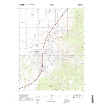 2020 Cedar City2020 Print · USGSIron County's hub at the edge of the plateau comes into sharp focus during the early twenty-first century. Researchers can trace the modern expansion of Cedar City alongside landmarks like Southern Utah University and the Iron County Court House.
 - 2020 Map of Yale Crossing, 2020 Print
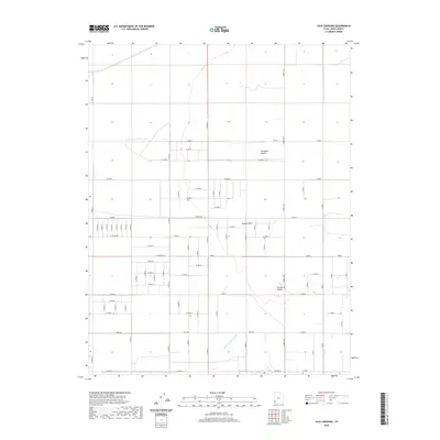 2020 Yale Crossing2020 Print · USGSIron County's desert floor is captured here in the 2020s, showing the precise intersection of water engineering and rural planning. Researchers can trace the path of the Escalante Mine Canal and the drainage of Hogans Wash alongside the region's expansive road grid.
Showing maps 1-25 of 163
Top cities of Iron County
- Cedar City historical maps
- Enoch historical maps
- Parowan historical maps
- Paragonah historical maps
- Newcastle historical maps
- Kanarraville historical maps
See more
Frequently asked questions
- What are the different types of historical maps available for Iron County?
- What is the oldest map of Iron County?
- Where can I purchase historical maps of Iron County for my home or office?
- Where can I download high-res historical maps of Iron County?
- Are there historical topographic maps available for Iron County?
- Is there historical aerial imagery available for Iron County?
- Where are historical maps of Iron County sourced from?