2010s Maps of Iron County, Utah
Explore 252 historic maps of Iron County from the 2010s. These maps offer a rare glimpse into what life looked like during the 2010s — showing old roads, neighborhoods, homes, and landmarks that have changed or disappeared over time.
Whether you're researching your family's past, planning a metal detecting trip, or studying how Iron County's landscape evolved across the 2010s, these high-resolution maps are a powerful tool for exploring the history of this region.
- Focus on a specific era: All maps on this page are from the 2010s, giving you a focused view of this time period.
- See what’s changed: Compare century-old streets, trails, and buildings to today's modern landscape using overlays and satellite layers.
- Research with precision: Use these maps for genealogy, historical research, land use analysis, or educational projects.
- View, download, or print: Maps are fully viewable online in high resolution, and can be downloaded or printed for your own records.
Start exploring Iron County's history through authentic maps from the 2010s. This is your window into the past.
Iron County, UT maps
(252)- 2010 Map of Pinto Spring, 2010 Print
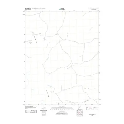 2010 Pinto Spring2010 Print · USGSIron County mining and desert hydrology are captured here in the early twenty-first century as the landscape remains sparsely settled. Researchers can locate remote industrial sites like the Holtbluebell Mine and vital water sources such as Pinto Spring or Merrils Camp Spring.
 - 2010 Map of The Tetons, 2010 Print
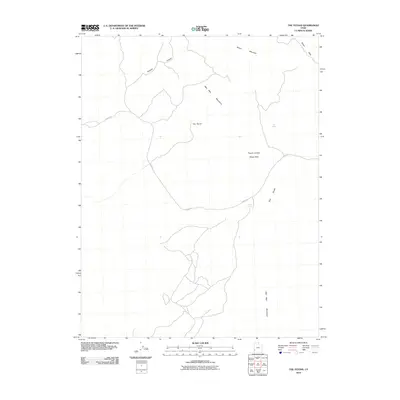 2010 The Tetons2010 Print · USGSIron County's high-desert rangeland is captured here in the early twenty-first century, showing a landscape defined by isolated water sources and research areas. Trace the network of desert tracks along Jockey Rd to find Jockey Spring and the Pinyon Juniper Study Area.
 - 2010 Map of Burns Knoll, 2010 Print
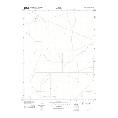 2010 Burns Knoll2010 Print · USGSThe Escalante Desert in the early twenty-first century reveals a landscape shaped by water management and isolated landmarks. You can trace the rural infrastructure around Burns Knoll Reservoir and follow desert routes like Jockey Rd and Beryl Milford Rd.
 - 2010 Map of Cogswell Point, 2010 Print
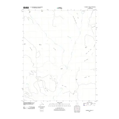 2010 Cogswell Point2010 Print · USGSThe high plateaus and deep canyons of southern Utah are captured here at the start of the 2010s. Researchers can trace the development of mountain roads near Virgin Flats and locate landmarks like Hogs Heaven and Miners Peak.
 - 2010 Map of Blue Mountain, 2010 Print
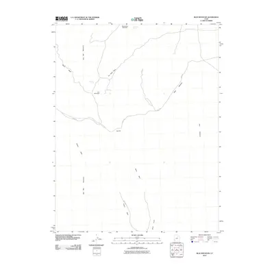 2010 Blue Mountain2010 Print · USGSIron County, Utah, is shown in the early twenty-first century as a land of rugged high-desert peaks and critical water sources. Researchers can trace the paths of Fisher Wash Rd and Jockey Rd near landmarks like Iron Mountain and Iron Mine Spring.
 - 2010 Map of Atchison Creek, 2010 Print
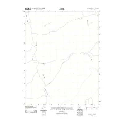 2010 Atchison Creek2010 Print · USGSIron County ranching and high desert hydrology are documented here in the first decade of the 21st century. Researchers can trace the layout of the O'Grain Ranch and follow the routes of Hamblin Valley Rd near the Indian Peak Range.
 - 2010 Map of Mountain Spring Peak, 2010 Print
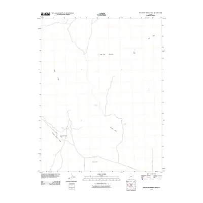 2010 Mountain Spring Peak2010 Print · USGSIron County in the early 2000s remains a landscape of high-desert navigation and isolated water sources. Researchers can trace historic desert tracks like Pine Valley Rd and locate vital points such as Mountain Spring and Jensen Spring.
 - 2010 Map of Baboon Peak, 2010 Print
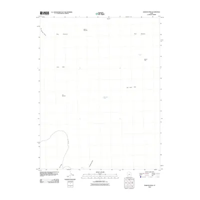 2010 Baboon Peak2010 Print · USGSIron County’s high-desert terrain is documented here in the early twenty-first century, highlighting the critical water sources of the Great Basin. Local history researchers can trace the routes between Baboon Peak and Marshall Pond, or locate the specific placement of Lost Spring and Horse Valley.
 - 2010 Map of Latimer, 2010 Print
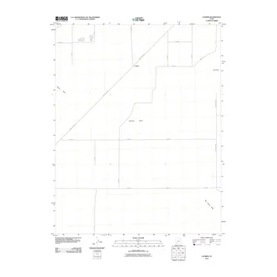 2010 Latimer2010 Print · USGSThe Escalante Desert of southwest Utah was undergoing modern road expansion at the time of this 2010 survey. Genealogists and local historians can trace rural routes like Beryl Milford Rd and landmarks including Blue Knoll and Latimer.
 - 2010 Map of Steamboat Mountain, 2010 Print
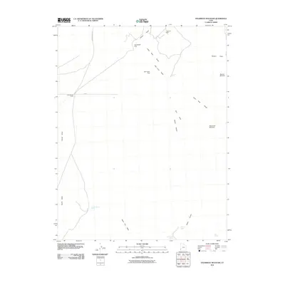 2010 Steamboat Mountain2010 Print · USGSIron County’s high-desert peaks and mining tracks are captured here as they appeared in 2010. Researchers can trace historical routes like Arrowhead Mine Rd and locate remote landmarks such as the Skougard Mine and Spanish George Spring.
 - 2010 Map of Ninemile Knoll, 2010 Print
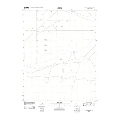 2010 Ninemile Knoll2010 Print · USGSIron County in the early twenty-first century reveals a high desert landscape shaped by its sparse water sources and essential rural roads. Trace the locations of isolated landmarks like Ninemile Knoll, The Sink, and the seasonal waters of Sand Pond.
 - 2010 Map of Bible Spring, 2010 Print
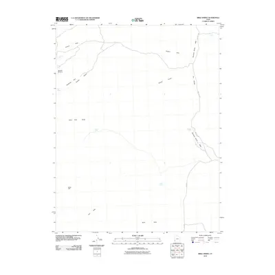 2010 Bible Spring2010 Print · USGSIn the high desert of Iron County during the early twenty-first century, this landscape is a network of vital water sources and steep canyons. Researchers can trace the routes through the Indian Peak Range to find Bible Spring, Typhoid Spring, and the prominent White Cliff.
 - 2010 Map of Badger Peak, 2010 Print
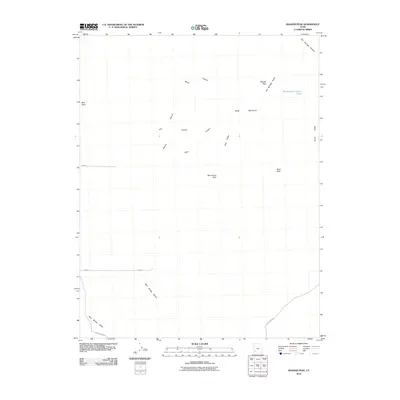 2010 Badger Peak2010 Print · USGSIron County’s high-desert peaks and canyons are shown here in the first decade of the millennium. Modern-day researchers can trace the seasonal water drainage of Mud Spring Wash and locate high-altitude landmarks like Badger Peak and Mule Peak.
 - 2010 Map of Lund, 2010 Print
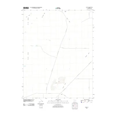 2010 Lund2010 Print · USGSIron County, Utah, was still defined by its remote desert settlements and scattered water sources at the start of the 2010s. Trace the rural landscape around Lund to find historic points like Rosenberg Spring, Lund Flats, and Broze Knoll.
 - 2010 Map of Summit, 2010 Print
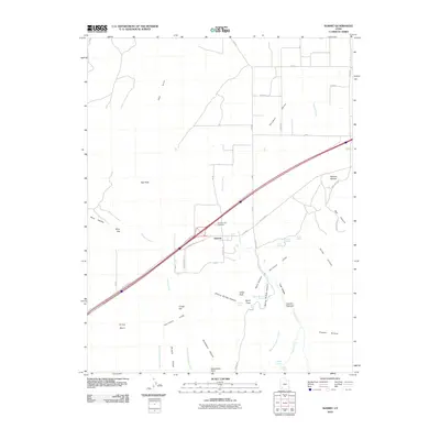 2010 Summit2010 Print · USGSThe settlement of Summit and the Parowan Valley are shown during the early 21st century at the edge of the rising Hurricane Cliffs. Genealogists and local historians can locate the Summit City Cemetery and trace the paths of Summit Creek and Braffits Creek through the surrounding peaks.
 - 2010 Map of Steamboat Mountain SW, 2010 Print
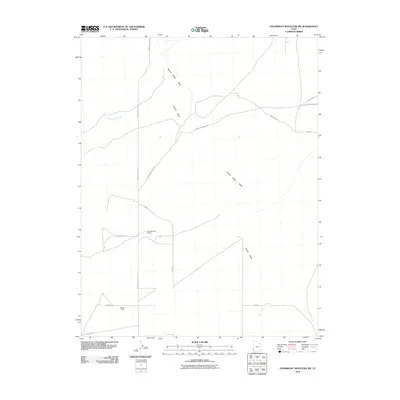 2010 Steamboat Mountain SW2010 Print · USGSIron County ranching and mining roads crisscross the high desert terrain of the Great Basin in this 2010 survey. Researchers can trace the layout of Chaney Ranch or follow the paths of Arrowhead Mine Rd and the seasonal Hamlin Valley Wash.
 - 2010 Map of Observation Knoll, 2010 Print
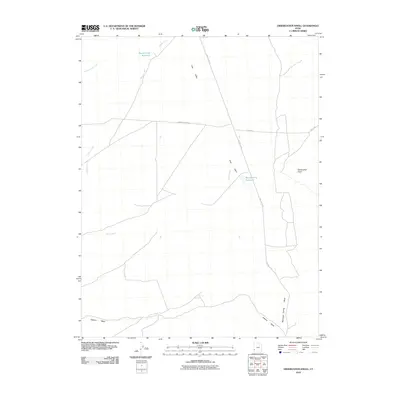 2010 Observation Knoll2010 Print · USGSIron County's high-desert ranching landscape is surveyed here in the early 2000s, showing a world of remote valley roads and essential water storage. Researchers can trace the drainage of Pinto Creek and locate landmarks like Observation Knoll and Sheep Creek Reservoir.
 - 2010 Map of Minersville Reservoir, 2010 Print
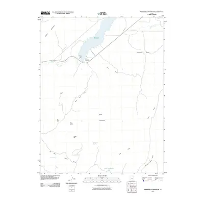 2010 Minersville Reservoir2010 Print · USGSIron County, Utah, at the beginning of the twenty-first century shows a landscape shaped by water engineering and mineral exploration. Researchers can trace the layout of the Aberdare Canal and locate mining sites like Goules Mine and the Blue Ribbon Mine.
 - 2010 Map of Burnt Peak, 2010 Print
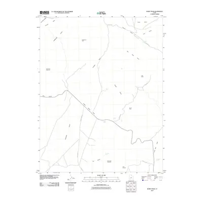 2010 Burnt Peak2010 Print · USGSIron County’s high desert is captured here in the early twenty-first century, showcasing the dramatic rise of the Hurricane Cliffs. Trace the movement of water and history through labels like Freemont Rd, Middle Spring Wash, and Buckskin Valley.
 - 2010 Map of Dry Willow Peak, 2010 Print
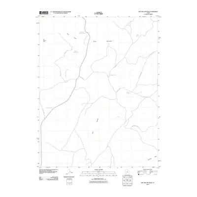 2010 Dry Willow Peak2010 Print · USGSThe Black Mountains of Iron County are documented here in the early twenty-first century, showing a terrain defined by desert water management. Researchers can locate remote high-country features like Dry Willow Peak, Tebbs Pond, and the depths of Penny Hollow.
 - 2010 Map of Buckhorn Flat, 2010 Print
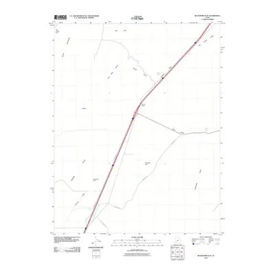 2010 Buckhorn Flat2010 Print · USGSIron County, Utah, is shown in the early twenty-first century as a landscape of dramatic cliffs and essential desert springs. Genealogists and local historians can trace the geography of the Parowan Valley through landmarks like Buckhorn Spring, CCC Pond, and the Hurricane Cliffs.
 - 2010 Map of Jack Henry Knoll, 2010 Print
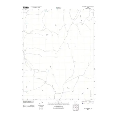 2010 Jack Henry Knoll2010 Print · USGSIron County's high-desert terrain is captured here in the early twenty-first century, showing a network of remote springs and mountain peaks. Researchers can locate vital water sources like Jack Henry Seep and trace geographic landmarks from Chipman Peak to the Red Hills.
 - 2010 Map of Greenville Bench, 2010 Print
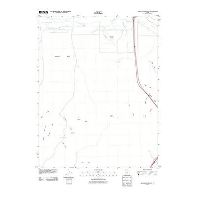 2010 Greenville Bench2010 Print · USGSBeaver County’s high desert landscape and agricultural heritage are visible in this 2010 study of the basin and range transition. Trace the complex irrigation network from the Aberdare Canal to Jims Reservoir and find local landmarks like Beaver Municipal Airport.
 - 2011 Map of Paragonah, 2011 Print
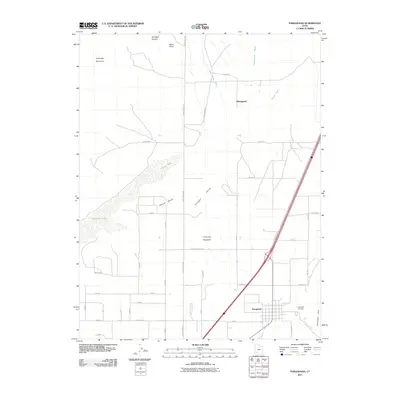 2011 Paragonah2011 Print · USGSParagonah and the surrounding valley are shown here in the early twenty-first century, positioned between the high peaks and the lake basin. Researchers can trace the town’s grid near Paragonah Cemetery, the seasonal flow of Red Creek, and landmarks like Black Knoll.
 - 2011 Map of Minersville, 2011 Print
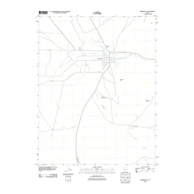 2011 Minersville2011 Print · USGSMinersville and its surrounding irrigation landscape are documented in this early twenty-first century survey of Beaver County. Researchers can trace local water management through the Minersville Canal or locate family roots at the Minersville Cemetery.
Showing maps 1-25 of 252
Top cities of Iron County
- Cedar City historical maps
- Enoch historical maps
- Parowan historical maps
- Paragonah historical maps
- Newcastle historical maps
- Kanarraville historical maps
See more
Frequently asked questions
- What are the different types of historical maps available for Iron County?
- What is the oldest map of Iron County?
- Where can I purchase historical maps of Iron County for my home or office?
- Where can I download high-res historical maps of Iron County?
- Are there historical topographic maps available for Iron County?
- Is there historical aerial imagery available for Iron County?
- Where are historical maps of Iron County sourced from?