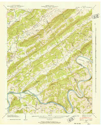
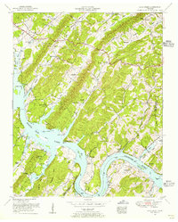
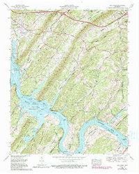
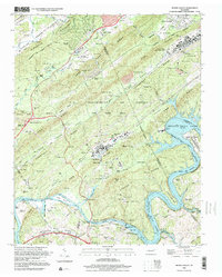
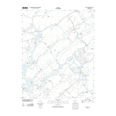
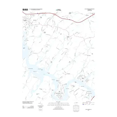
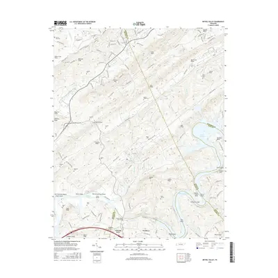
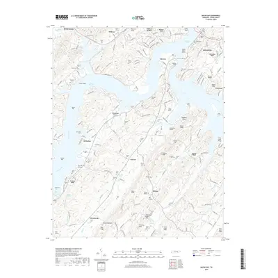
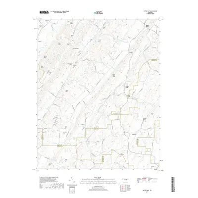
1953 Map of Bethel Valley
USGS Topo · Published 1961About this map
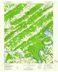
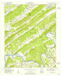
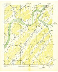
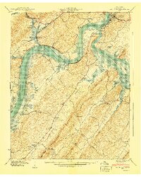
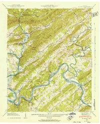
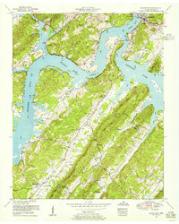
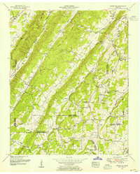
The U S Atomic Energy Commission (Oak Ridge Area) dominates the landscape of this 1950s survey, illustrating a critical era of federal land use and restricted development in East Tennessee. While the northern edge shows the expansion of Oak Ridge with its Gamble Valley School and Oak Valley Church, much of the quadrangle is defined by the security-controlled ridges and valleys of the atomic energy reservation. This snapshot in time captures a landscape in transition, specifically noting the Melton Hill Dam under construction along the Clinch River. This project was destined to create Melton Hill Lake, and the blue shading on the map indicates the large swathes of riverbank and bottomland along Gallaher Bend and Grubb Islands slated for submergence. Scattered family cemeteries like Gallaher Cemetery and New Zion Cemetery remain as markers of the rural communities that existed before the federal government acquired the territory.
Find a feature on this map
70 named features on this map. Tap any name to fly to it.
Don’t see what you’re looking for? This feature index may not catch every label — zoom into the map to look around manually.
Map Details
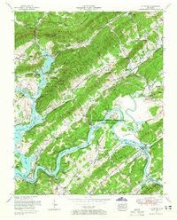
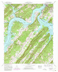
Editions of this 1953 Bethel Valley Map
2 editions found
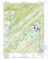
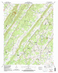
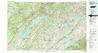
Historical Maps of Oak Ridge Through Time
48 maps found

1935 Bethel Valley
Roane County, TN

1935 Elverton
Roane County, TN
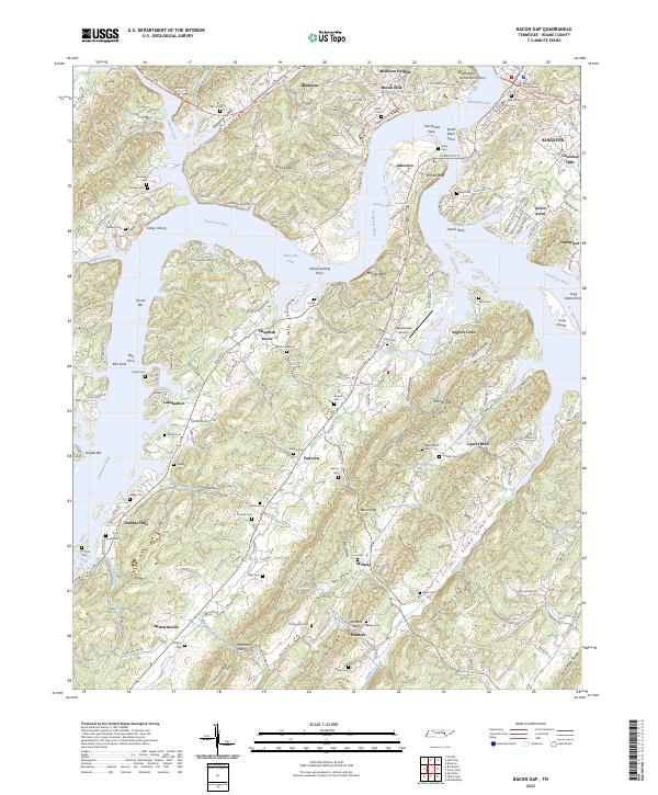
1936 Bacon Gap
Roane County, TN

1936 Cave Creek
Roane County, TN

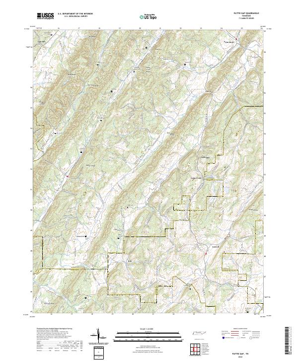
1936 Pattie Gap
Roane County, TN
1940 Bacon Gap
Roane County, TN

1940 Cave Creek
Roane County, TN

1940 Pattie Gap
Roane County, TN
1941 Bethel Valley
Roane County, TN
1941 Elverton
Roane County, TN
1952 Bacon Gap
Roane County, TN
1952 Pattie Gap
Roane County, TN
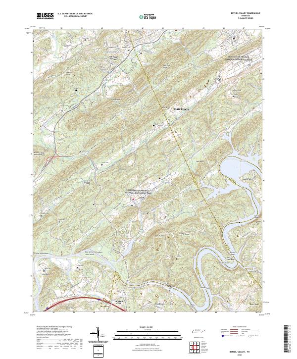
1953 Bethel Valley
Roane County, TN
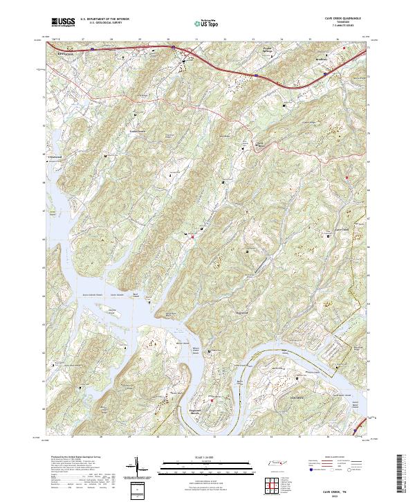
1953 Cave Creek
Roane County, TN
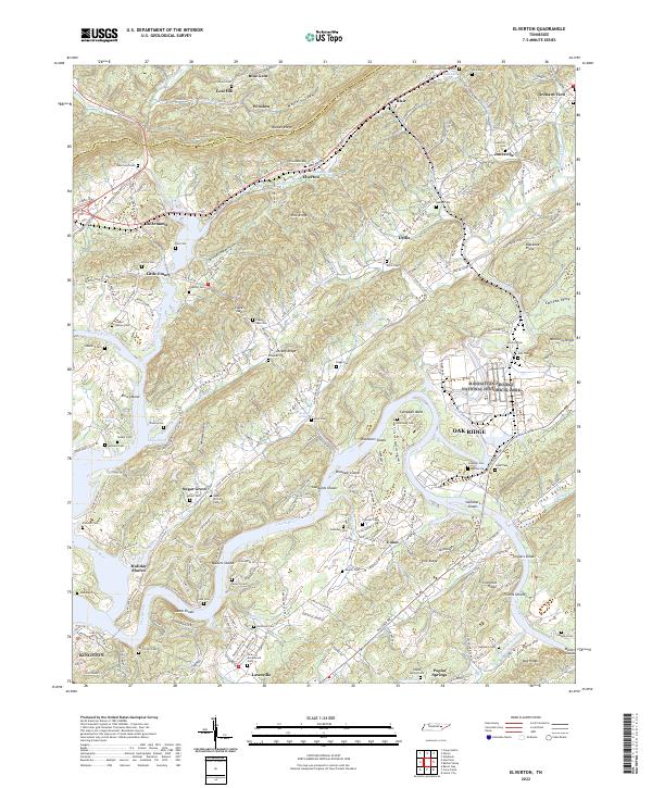
1953 Elverton
Roane County, TN
1968 Bacon Gap
Roane County, TN
1968 Bethel Valley
Roane County, TN
1968 Cave Creek
Roane County, TN
1968 Elverton
Roane County, TN
1973 Pattie Gap
Roane County, TN
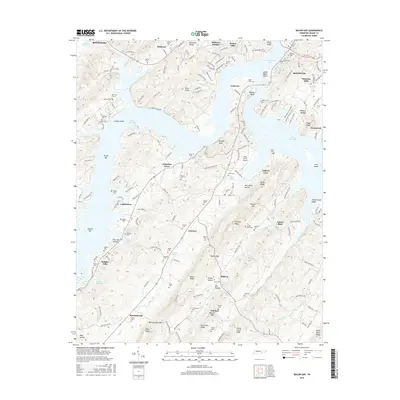
1981 Watts Bar Lake
Roane County, TN

1989 Bethel Valley
Roane County, TN
1998 Bethel Valley
Roane County, TN
2010 Bacon Gap
Roane County, TN
2010 Bethel Valley
Roane County, TN
2010 Cave Creek
Roane County, TN
2010 Elverton
Roane County, TN
2010 Pattie Gap
Roane County, TN
2013 Bacon Gap
Roane County, TN
2013 Bethel Valley
Roane County, TN
2013 Cave Creek
Roane County, TN
2013 Elverton
Roane County, TN
2013 Pattie Gap
Roane County, TN
2016 Bacon Gap
Roane County, TN
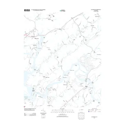
2016 Bethel Valley
Roane County, TN
2016 Cave Creek
Roane County, TN
2016 Elverton
Roane County, TN
2016 Pattie Gap
Roane County, TN
2019 Bacon Gap
Roane County, TN
2019 Bethel Valley
Roane County, TN
2019 Cave Creek
Roane County, TN
2019 Elverton
Roane County, TN
2019 Pattie Gap
Roane County, TN
2022 Bethel Valley
Roane County, TN
2022 Cave Creek
Roane County, TN
2022 Elverton
Roane County, TN
2022 Pattie Gap
Roane County, TN
2023 Bacon Gap
Roane County, TN