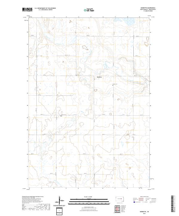
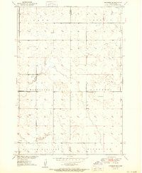
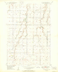
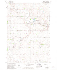
2021 Map of Burdette
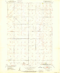
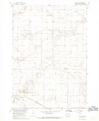
USGS Topo · Published 2021This historical map portrays the area of Burdette in 2021, primarily covering Hand County. Featuring a scale of 1:24000, this map provides a highly detailed snapshot of the terrain, roads, buildings, counties, and historical landmarks in the Burdette region at the time. Published in 2021, it is the sole known edition of this map.
Map Details
Editions of this 2021 Burdette Map
This is the sole edition of this map. No revisions or reprints were ever made.
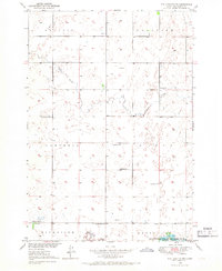
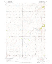
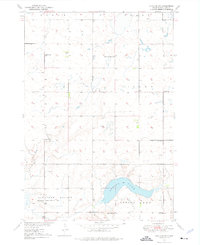
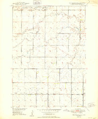
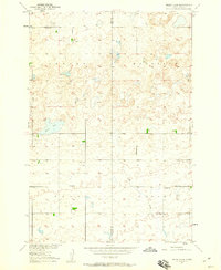
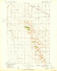
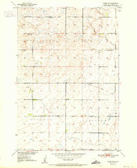
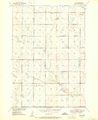
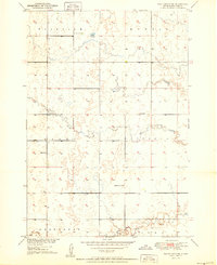
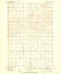
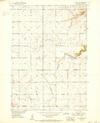
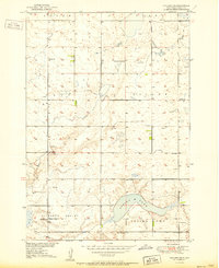
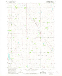
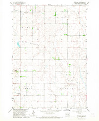
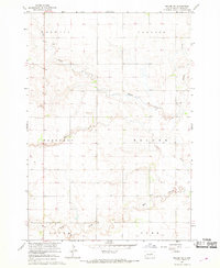
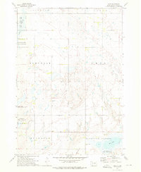
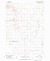
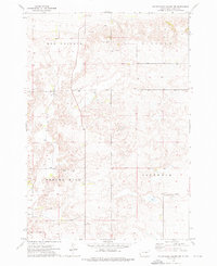
Historical Maps of Hand County Through Time
46 maps found
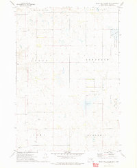
1949 Ree Heights NW
Hand County, SD
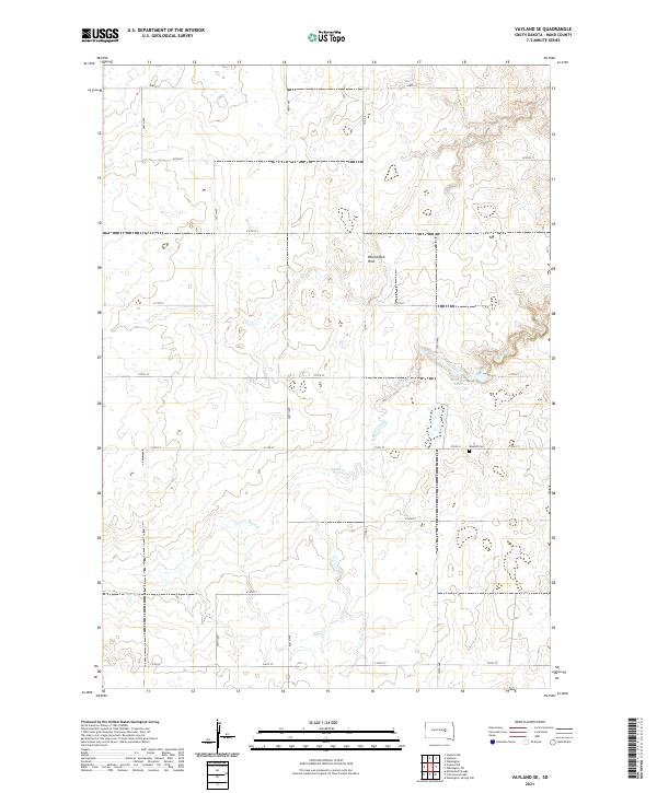
1949 Vayland SE
Hand County, SD
1949 Vayland SW
Hand County, SD
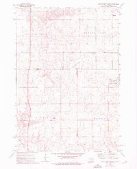
1950 Highmore NE
Hand County, SD
1950 Ree Heights SE
Hand County, SD
1950 Rezac Lake
Hand County, SD
1950 Vayland
Hand County, SD
1950 Vayland NW
Hand County, SD
1951 Orient SW
Hand County, SD
1951 Polo
Hand County, SD
1951 Ree Heights NE
Hand County, SD
1951 Ree Heights NW
Hand County, SD
1951 Rezac Lake
Hand County, SD
1951 Vayland SE
Hand County, SD
1951 Vayland SW
Hand County, SD
1966 Burdette
Hand County, SD
1966 Rockham SE
Hand County, SD
1966 Rockham SW
Hand County, SD
1967 Miller NW
Hand County, SD
1967 Miller SE
Hand County, SD
1973 Ames
Hand County, SD
1973 Miller Dale Colony
Hand County, SD
1973 Miller Dale Colony NW
Hand County, SD
1973 Miller Dale Colony SW
Hand County, SD
1973 Mittelstedt Slough
Hand County, SD
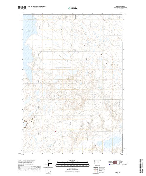
2021 Ames
Hand County, SD
2021 Burdette
Hand County, SD
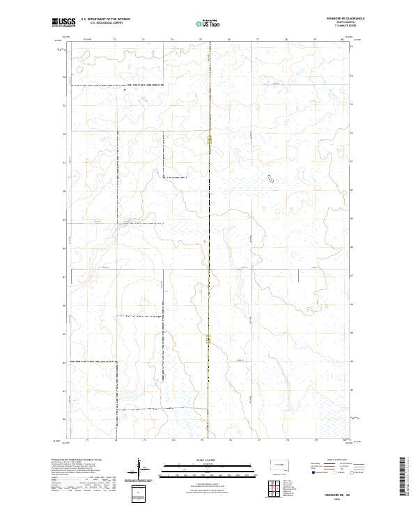
2021 Highmore NE
Hand County, SD
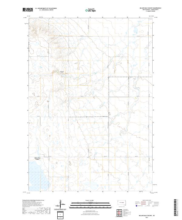
2021 Miller Dale Colony
Hand County, SD
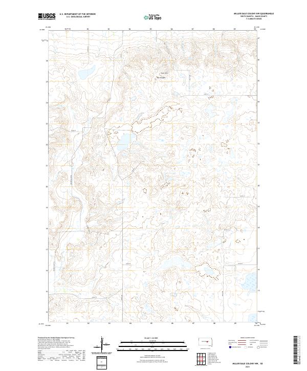
2021 Miller Dale Colony NW
Hand County, SD
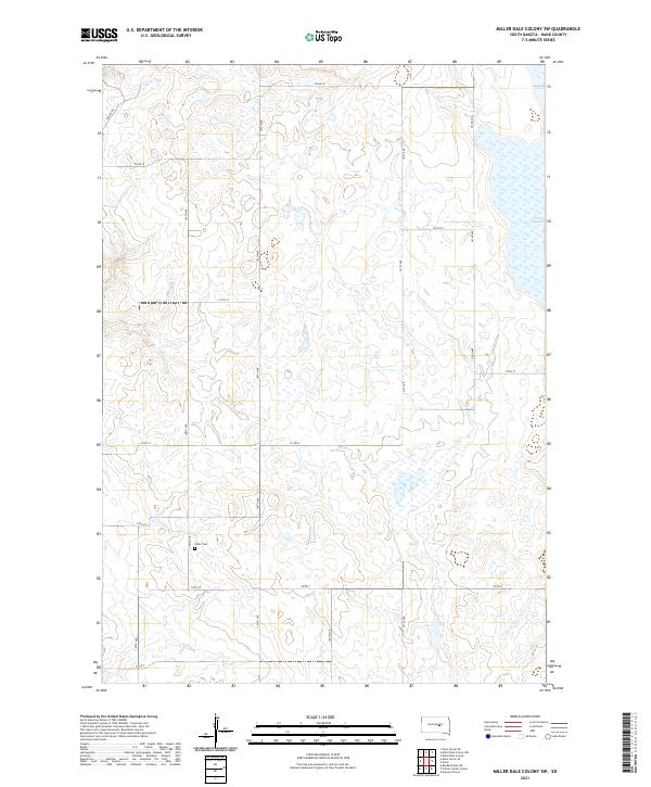
2021 Miller Dale Colony SW
Hand County, SD
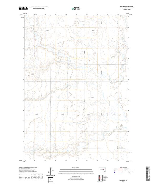
2021 Miller NW
Hand County, SD
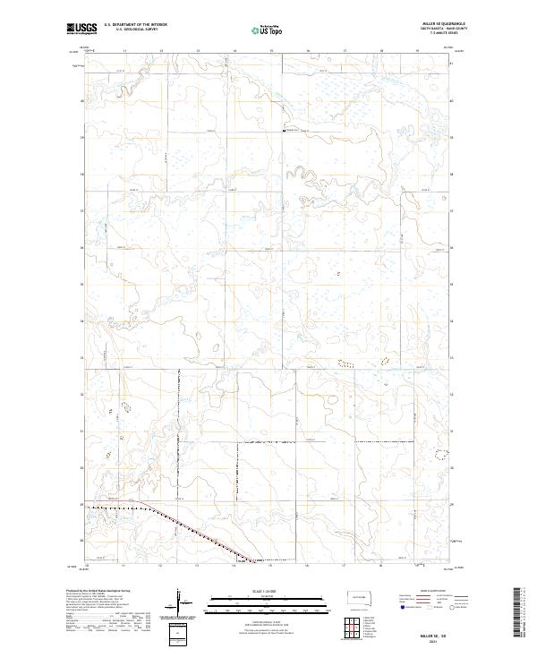
2021 Miller SE
Hand County, SD
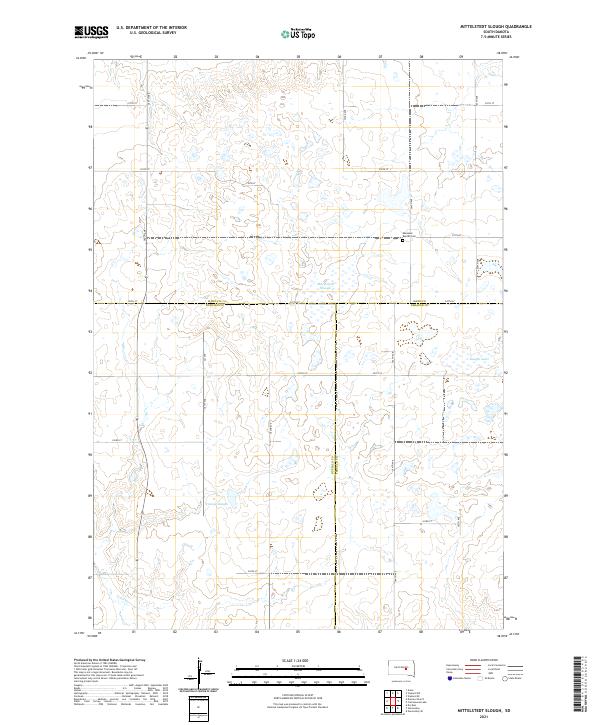
2021 Mittelstedt Slough
Hand County, SD
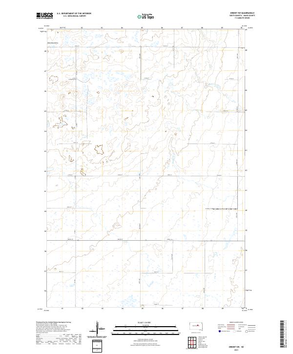
2021 Orient SW
Hand County, SD
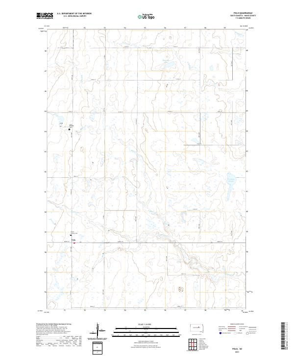
2021 Polo
Hand County, SD
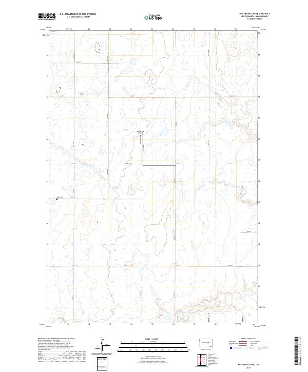
2021 Ree Heights NE
Hand County, SD
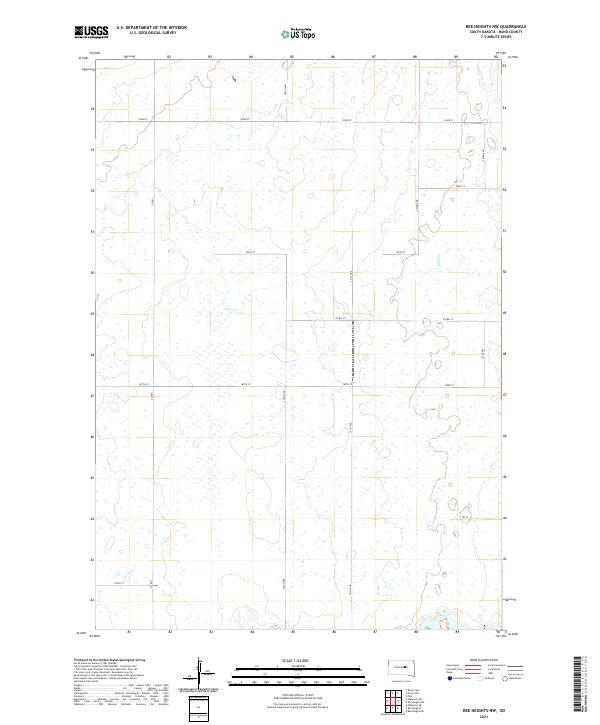
2021 Ree Heights NW
Hand County, SD
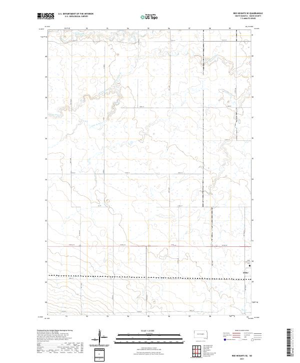
2021 Ree Heights SE
Hand County, SD
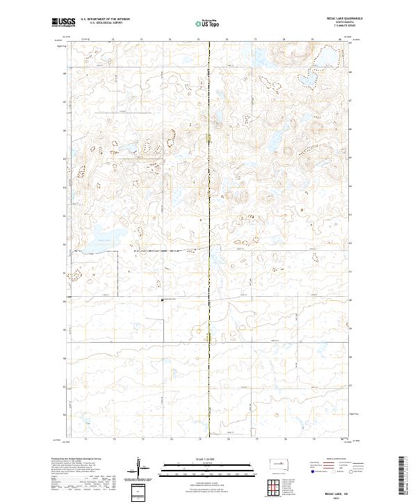
2021 Rezac Lake
Hand County, SD
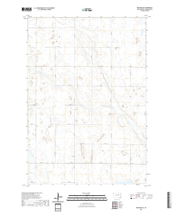
2021 Rockham SE
Hand County, SD
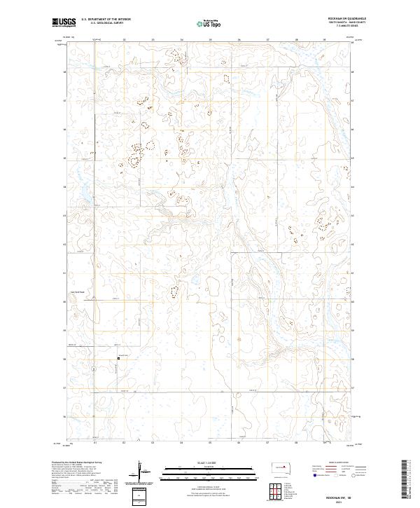
2021 Rockham SW
Hand County, SD
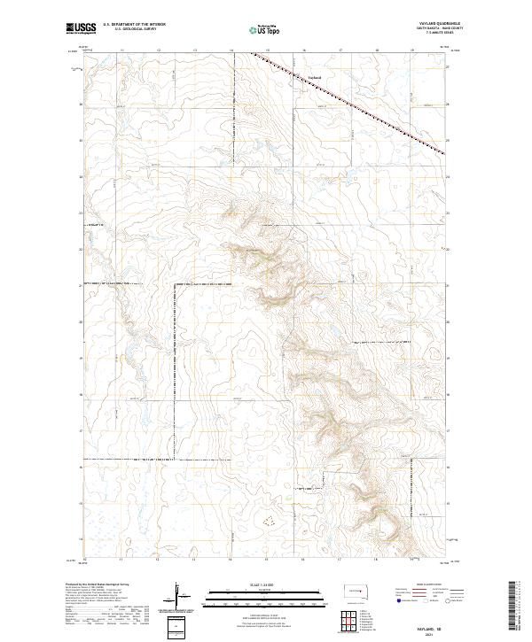
2021 Vayland
Hand County, SD
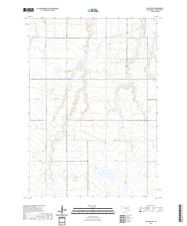
2021 Vayland NW
Hand County, SD
2021 Vayland SE
Hand County, SD
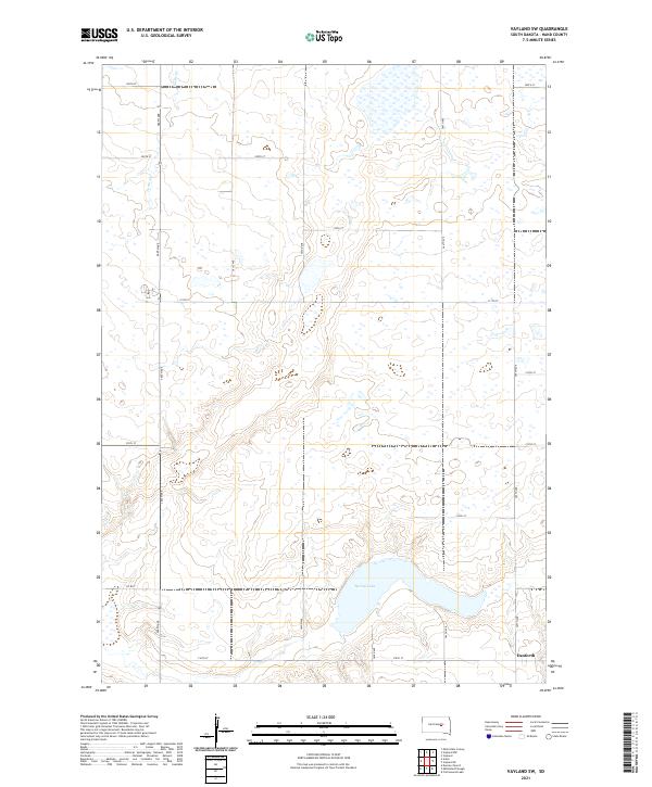
2021 Vayland SW
Hand County, SD