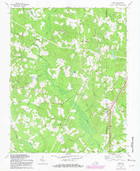
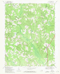
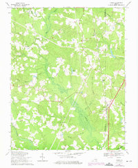
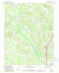
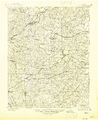
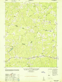
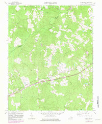
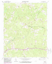
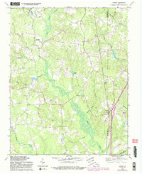
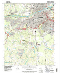
1969 Map of Carson
USGS Topo · Published 1981About this map
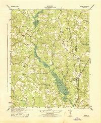
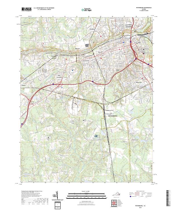
Carson sits at the intersection of local history and transportation in Dinwiddie County, positioned along the Seaboard Coast Line railroad near the border with Prince George and Sussex counties. The landscape is defined by the intricate drainage systems of Rowanty Creek and its many tributaries, including Arthur Run and Hatcher Run. This 1969 survey, updated in the early 1980s, reveals a rural community deeply rooted in its local institutions. Numerous country churches and their associated grounds, such as Tabernacle Ch and the Confederate Cem, are scattered throughout the territory. The presence of the Carson Sch and the settlement at Reams suggest a pattern of small, established rural hubs connected by historic routes like Halifax Road and Stage Road. Genealogists will find particular value in the detailed placement of family and community cemeteries like Rowanty Ch Cem and Shiloh Ch Cem.
Find a feature on this map
39 named features on this map. Tap any name to fly to it.
Don’t see what you’re looking for? This feature index may not catch every label — zoom into the map to look around manually.
Map Details
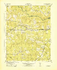
Editions of this 1969 Carson Map
5 editions found
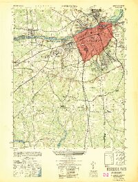
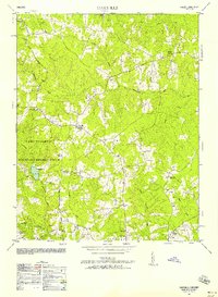
Historical Maps of Reams Through Time
36 maps found
1897 Amelia
Dinwiddie County, VA

1919 Mc Kenney
Dinwiddie County, VA

1921 Mc Kenney
Dinwiddie County, VA

1943 Church Road
Dinwiddie County, VA

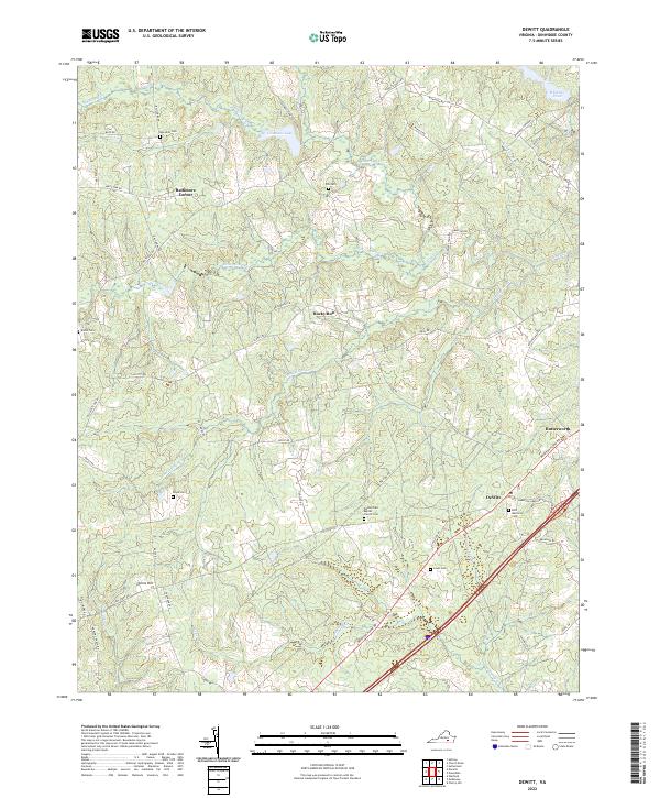
1943 De Witt
Dinwiddie County, VA

1943 Mc Kenney
Dinwiddie County, VA

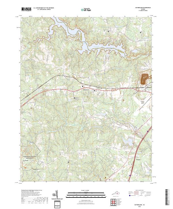
1943 Sutherland
Dinwiddie County, VA
1944 Church Road
Dinwiddie County, VA
1944 DeWitt
Dinwiddie County, VA
1944 Petersburg
Dinwiddie County, VA
1944 Reams
Dinwiddie County, VA
1944 Sutherland
Dinwiddie County, VA
1949 Petersburg
Dinwiddie County, VA
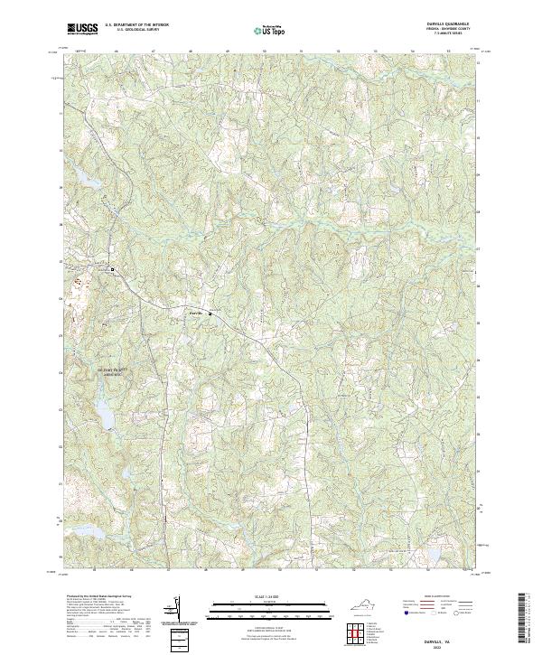
1950 Darvills
Dinwiddie County, VA
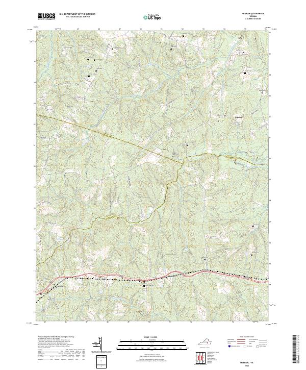
1950 Hebron
Dinwiddie County, VA
1952 Petersburg
Dinwiddie County, VA
1952 Reams
Dinwiddie County, VA
1963 Cherry Hill
Dinwiddie County, VA
1963 Church Road
Dinwiddie County, VA

1963 De Witt
Dinwiddie County, VA
1963 Mc Kenney
Dinwiddie County, VA
1963 Sutherland
Dinwiddie County, VA
1964 Darvills
Dinwiddie County, VA
1964 Hebron
Dinwiddie County, VA
1969 Carson
Dinwiddie County, VA
1969 Petersburg
Dinwiddie County, VA
1974 Petersburg
Dinwiddie County, VA
1994 Petersburg
Dinwiddie County, VA
2022 Carson
Dinwiddie County, VA
2022 Cherry Hill
Dinwiddie County, VA
2022 Church Road
Dinwiddie County, VA
2022 Darvills
Dinwiddie County, VA
2022 DeWitt
Dinwiddie County, VA
2022 Hebron
Dinwiddie County, VA
2022 Sutherland
Dinwiddie County, VA
2023 Petersburg
Dinwiddie County, VA