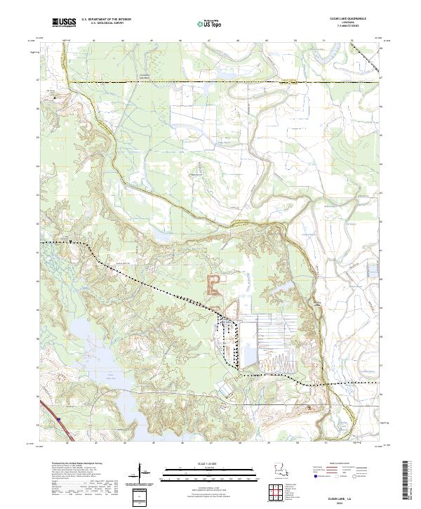
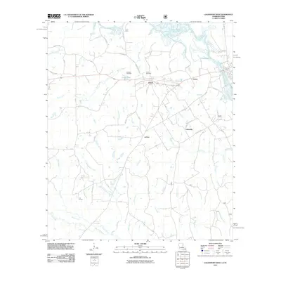
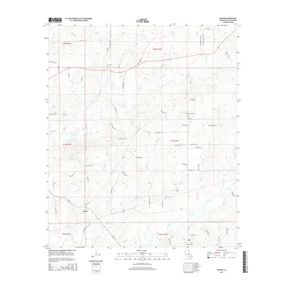
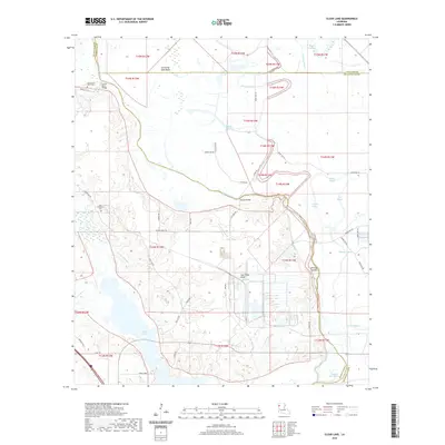
2024 Map of Clear Lake
USGS Topo · Published 2024About this map
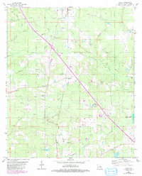
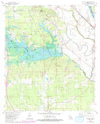
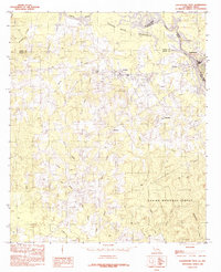
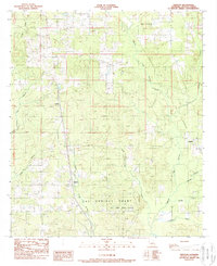
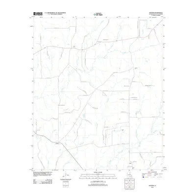
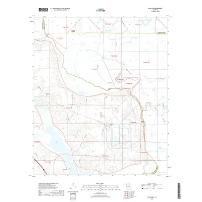
Bayou Pierre and the complex drainage of the Cannisnia Lake Basin define this landscape where Caddo, De Soto, and Red River Parishes meet. The terrain is a network of interconnected waterways, featuring Crook All Bayou, Boggy Bayou, and the expansive Red River National Wildlife Refuge. This modern topographic study reveals how contemporary conservation efforts overlay a traditional landscape of family-named roads and remote burial grounds. Genealogists can locate Old Gravel Point Cem and New Friendship Cem, while the inclusion of landmarks like Hog Thief Point and Bill Gay Island suggests a history of river-bound isolation and distinct landforms. The intricate hydrology of Clear Lake One and its surrounding wetlands illustrates the persistent influence of the Red River's historical floodplains on modern land use and parish boundaries.
Find a feature on this map
53 named features on this map. Tap any name to fly to it.
Don’t see what you’re looking for? This feature index may not catch every label — zoom into the map to look around manually.
Map Details
Editions of this 2024 Clear Lake Map
This is the sole edition of this map. No revisions or reprints were ever made.
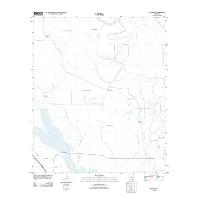
Historical Maps of Caddo Parish Through Time
72 maps found

1938 Chemard Lake
De Soto Parish, LA

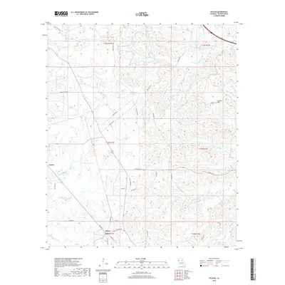
1941 Pelican
De Soto Parish, LA
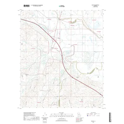
1972 Keatchie
De Soto Parish, LA
1980 Bayou Pierre Lake
De Soto Parish, LA
1980 Clear Lake
De Soto Parish, LA
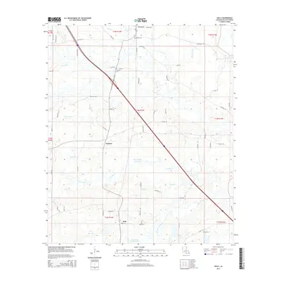
1980 Holly
De Soto Parish, LA
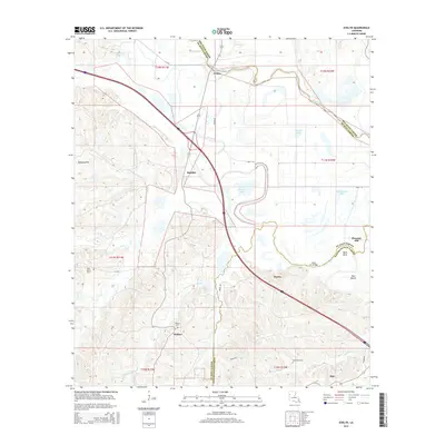
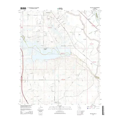
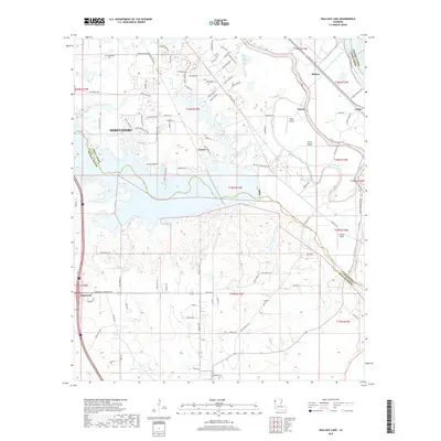
1980 Wallace Lake
De Soto Parish, LA
1984 Hunter
De Soto Parish, LA
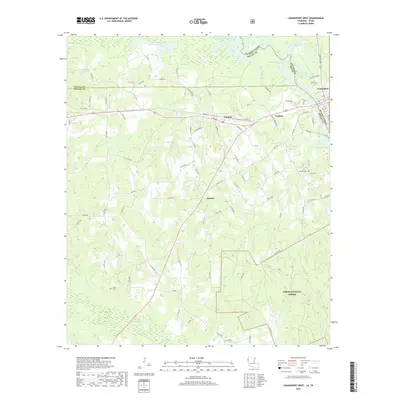
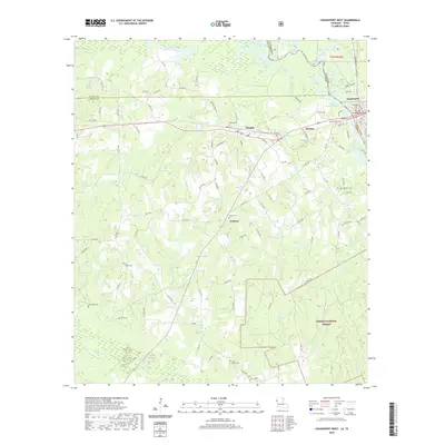
1984 Logansport East
De Soto Parish, LA
1984 Logansport West
De Soto Parish, LA
1985 Shreveport South
De Soto Parish, LA
1989 Evelyn
De Soto Parish, LA
1989 Pelican
De Soto Parish, LA
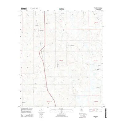
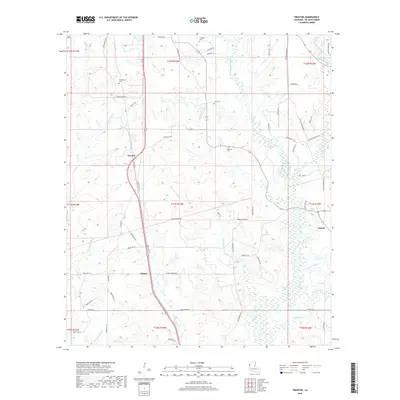
1989 Trenton
De Soto Parish, LA
1995 Trenton
De Soto Parish, LA
2003 Logansport East
De Soto Parish, LA
2003 Logansport West
De Soto Parish, LA

2010 Logansport East
De Soto Parish, LA
2010 Logansport West
De Soto Parish, LA

2012 Bayou Pierre Lake
De Soto Parish, LA
2012 Clear Lake
De Soto Parish, LA
2012 Evelyn
De Soto Parish, LA
2012 Holly
De Soto Parish, LA
2012 Hunter
De Soto Parish, LA
2012 Keatchie
De Soto Parish, LA
2012 Pelican
De Soto Parish, LA
2012 Trenton
De Soto Parish, LA
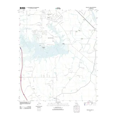
2012 Wallace Lake
De Soto Parish, LA

2015 Bayou Pierre Lake
De Soto Parish, LA
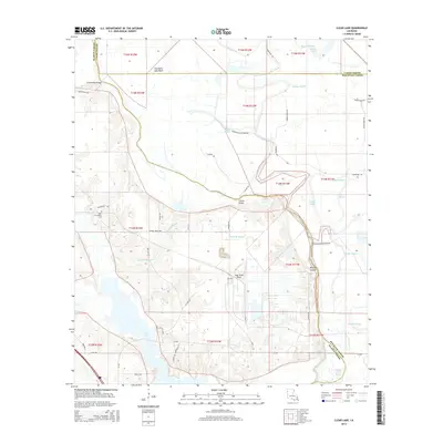
2015 Clear Lake
De Soto Parish, LA
2015 Evelyn
De Soto Parish, LA
2015 Holly
De Soto Parish, LA
2015 Hunter
De Soto Parish, LA
2015 Keatchie
De Soto Parish, LA

2015 Logansport East
De Soto Parish, LA
2015 Logansport West
De Soto Parish, LA
2015 Pelican
De Soto Parish, LA
2015 Trenton
De Soto Parish, LA
2015 Wallace Lake
De Soto Parish, LA

2018 Bayou Pierre Lake
De Soto Parish, LA
2018 Clear Lake
De Soto Parish, LA
2018 Evelyn
De Soto Parish, LA
2018 Holly
De Soto Parish, LA
2018 Hunter
De Soto Parish, LA
2018 Keatchie
De Soto Parish, LA
2018 Logansport East
De Soto Parish, LA
2018 Logansport West
De Soto Parish, LA
2018 Pelican
De Soto Parish, LA
2018 Trenton
De Soto Parish, LA
2018 Wallace Lake
De Soto Parish, LA

2020 Bayou Pierre Lake
De Soto Parish, LA
2020 Clear Lake
De Soto Parish, LA

2020 Evelyn
De Soto Parish, LA
2020 Holly
De Soto Parish, LA
2020 Hunter
De Soto Parish, LA
2020 Keatchie
De Soto Parish, LA

2020 Logansport East
De Soto Parish, LA
2020 Logansport West
De Soto Parish, LA
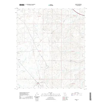
2020 Pelican
De Soto Parish, LA
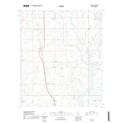
2020 Trenton
De Soto Parish, LA
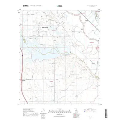
2020 Wallace Lake
De Soto Parish, LA
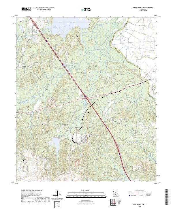
2024 Bayou Pierre Lake
De Soto Parish, LA
2024 Clear Lake
De Soto Parish, LA
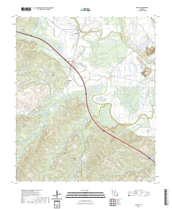
2024 Evelyn
De Soto Parish, LA
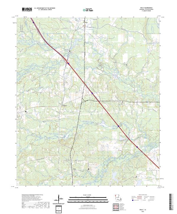
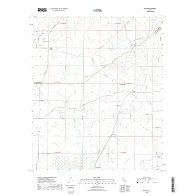
2024 Holly
De Soto Parish, LA
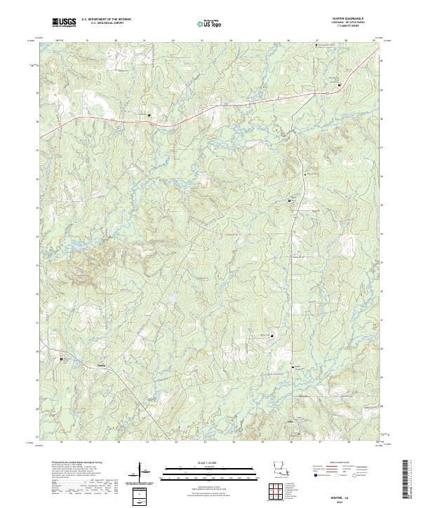
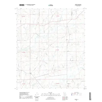
2024 Hunter
De Soto Parish, LA
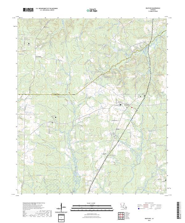
2024 Keatchie
De Soto Parish, LA
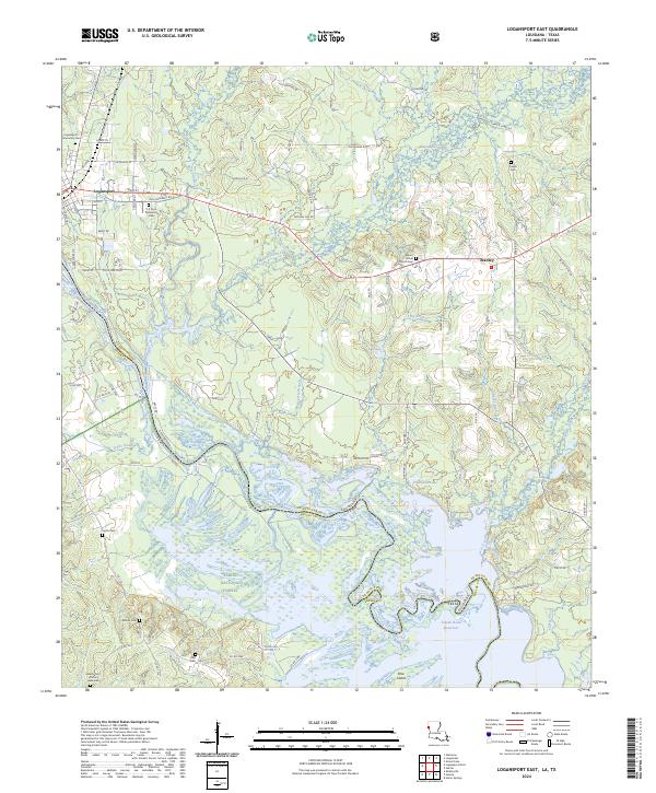
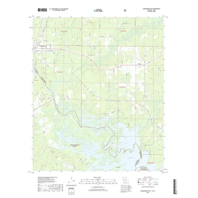
2024 Logansport East
De Soto Parish, LA
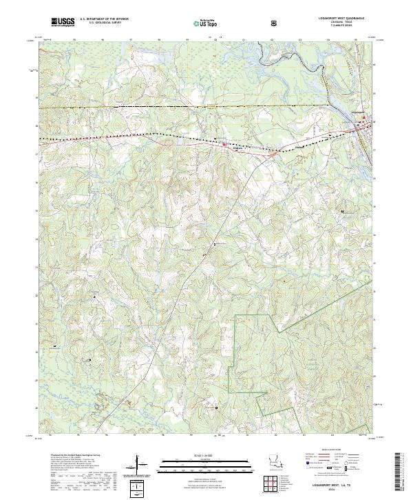
2024 Logansport West
De Soto Parish, LA
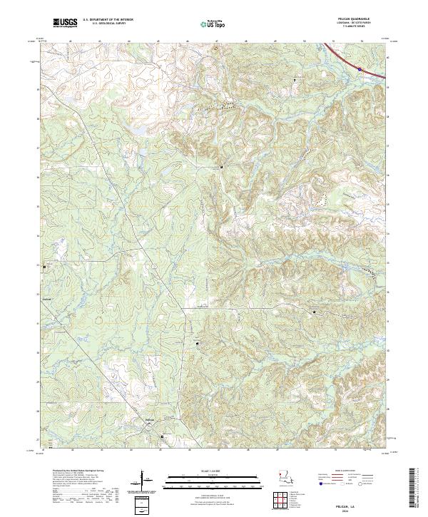
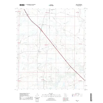
2024 Pelican
De Soto Parish, LA
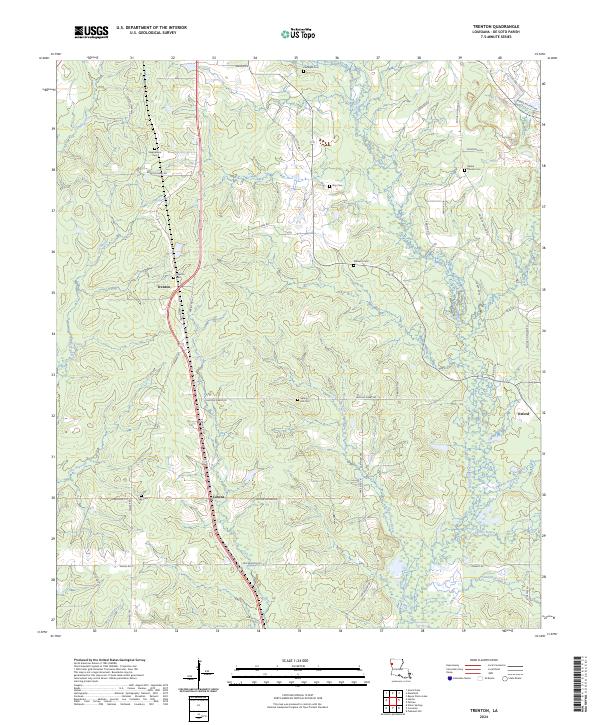
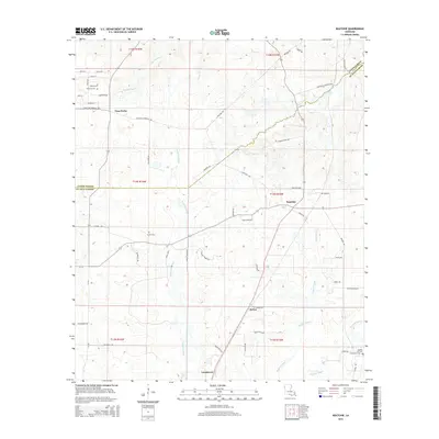
2024 Trenton
De Soto Parish, LA
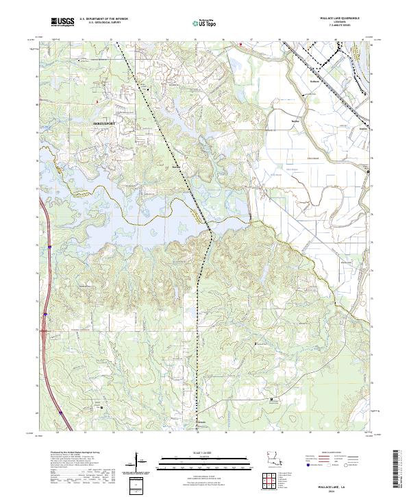
2024 Wallace Lake
De Soto Parish, LA