
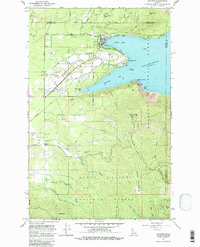
2024 Map of Coeur D'Alene
USGS Topo · Published 2024About this map
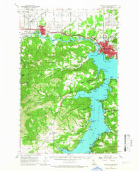
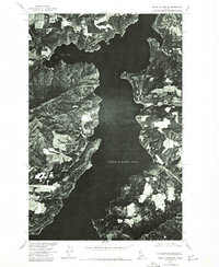
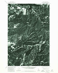
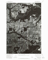
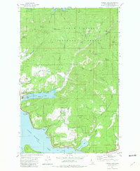
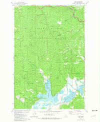
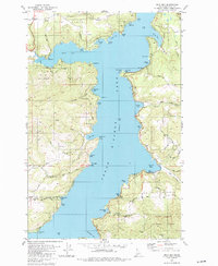
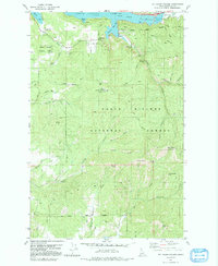
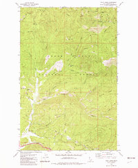
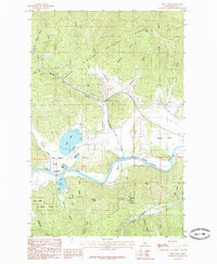
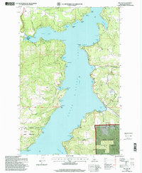
Coeur d'Alene sits at the headwaters of the Spokane River in this detailed modern record of Kootenai County's urban and natural landscape. The map illustrates a high density of civic and religious institutions, including the Kootenai County Courthouse, North Idaho College, and several historical burial grounds such as Forest Cem and Saint Thomas Cem. The transition from the developed grid of the city to the waters of Coeur d'Alene Lake is marked by distinctive geographical features like Tubbs Hill and Sanders Beach. To the west, the industrial and residential corridors of Post Falls and Huetter follow the river, while the broad Rathdrum Prairie extends to the north. This survey documents the complex interface between the growing city and its natural topography, from the shoreline of Cougar Bay to the rising elevations of Best Hill and Blackwell Hill.
Find a feature on this map
74 named features on this map. Tap any name to fly to it.
Don’t see what you’re looking for? This feature index may not catch every label — zoom into the map to look around manually.
Map Details
Editions of this 2024 Coeur D'Alene Map
This is the sole edition of this map. No revisions or reprints were ever made.
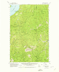
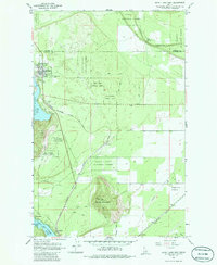
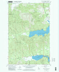
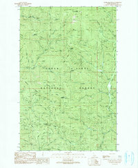
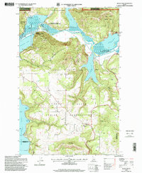
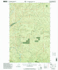
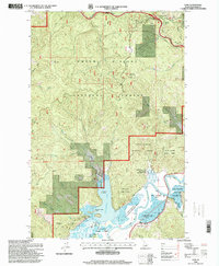
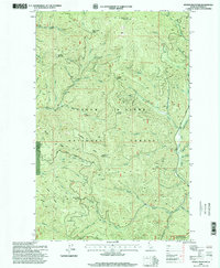
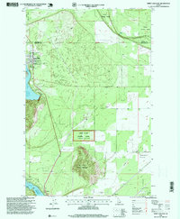
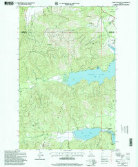
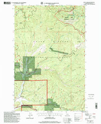
Historical Maps of Dalton Gardens Through Time
63 maps found
1950 Rochat Peak
Kootenai County, ID

1952 Rochat Peak
Kootenai County, ID
1957 Coeur D'Alene
Kootenai County, ID
1957 Kingston
Kootenai County, ID
1957 Lane
Kootenai County, ID

1961 Bayview
Kootenai County, ID
1961 Lakeview
Kootenai County, ID
1961 Spirit Lake East
Kootenai County, ID
1961 Spirit Lake West
Kootenai County, ID
1967 Bayview
Kootenai County, ID

1975 Coeur D'Alene NW
Kootenai County, ID
1975 Coeur D'Alene SE
Kootenai County, ID

1975 Lane NW
Kootenai County, ID
1975 Lane SW
Kootenai County, ID

1975 Plummer NE
Kootenai County, ID
1975 Plummer NW
Kootenai County, ID

1980 Setters
Kootenai County, ID

1981 Black Lake
Kootenai County, ID

1981 Coeur D'Alene
Kootenai County, ID
1981 Fernan Lake
Kootenai County, ID
1981 Lane
Kootenai County, ID

1981 Medimont
Kootenai County, ID
1981 Mica Bay
Kootenai County, ID
1981 Mount Coeur D'Alene
Kootenai County, ID
1982 Wolf Lodge
Kootenai County, ID
1985 Rose Lake
Kootenai County, ID
1985 Skitwish Peak
Kootenai County, ID
1987 Coeur D'Alene
Kootenai County, ID
1990 Cataract Peak
Kootenai County, ID
1990 Spades Mountain
Kootenai County, ID

1996 Bayview
Kootenai County, ID
1996 Black Lake
Kootenai County, ID
1996 Cataract Peak
Kootenai County, ID

1996 Coeur D'Alene
Kootenai County, ID

1996 Fernan Lake
Kootenai County, ID
1996 Lane
Kootenai County, ID

1996 Medimont
Kootenai County, ID
1996 Mica Bay
Kootenai County, ID

1996 Mount Coeur D'Alene
Kootenai County, ID
1996 Rochat Peak
Kootenai County, ID
1996 Rose Lake
Kootenai County, ID
1996 Skitwish Peak
Kootenai County, ID
1996 Spades Mountain
Kootenai County, ID
1996 Spirit Lake East
Kootenai County, ID
1996 Spirit Lake West
Kootenai County, ID
1996 Wolf Lodge
Kootenai County, ID
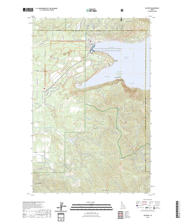
2024 Bayview
Kootenai County, ID
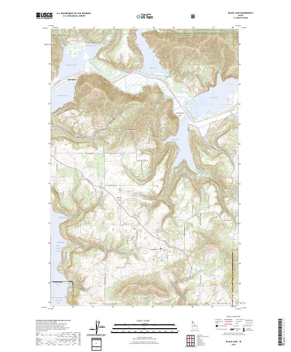
2024 Black Lake
Kootenai County, ID
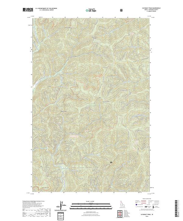
2024 Cataract Peak
Kootenai County, ID
2024 Coeur D'Alene
Kootenai County, ID
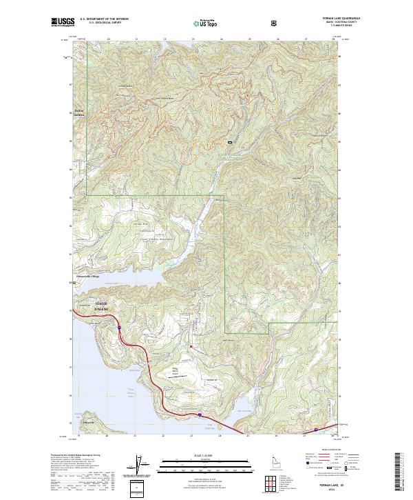
2024 Fernan Lake
Kootenai County, ID
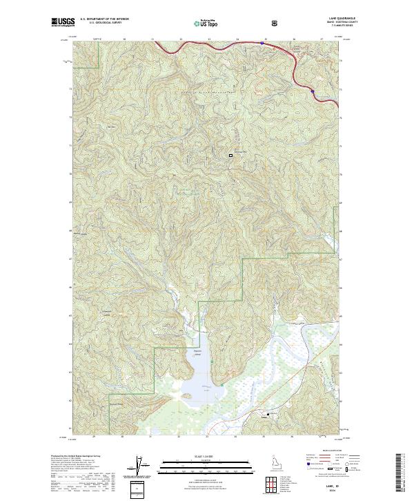
2024 Lane
Kootenai County, ID
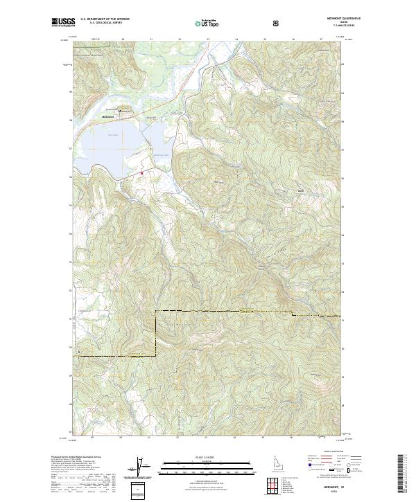
2024 Medimont
Kootenai County, ID
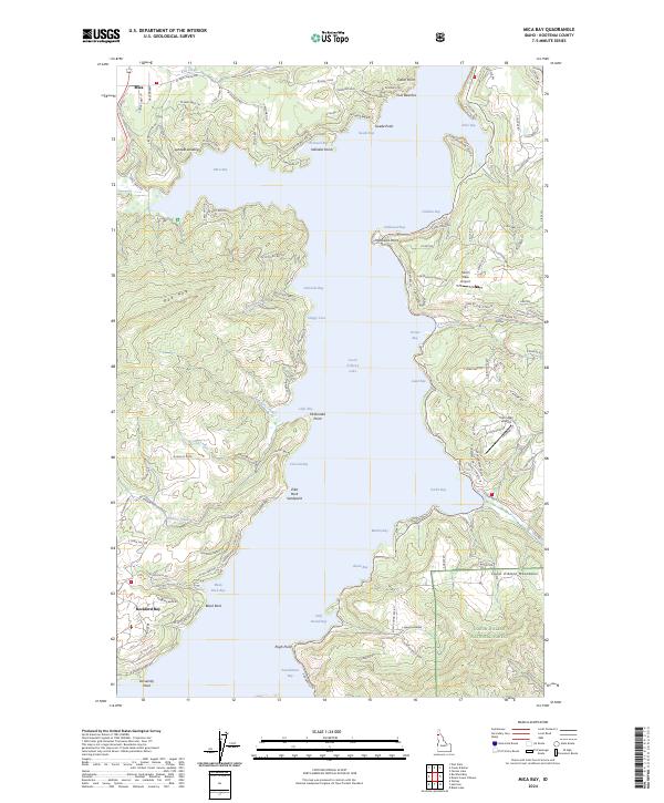
2024 Mica Bay
Kootenai County, ID
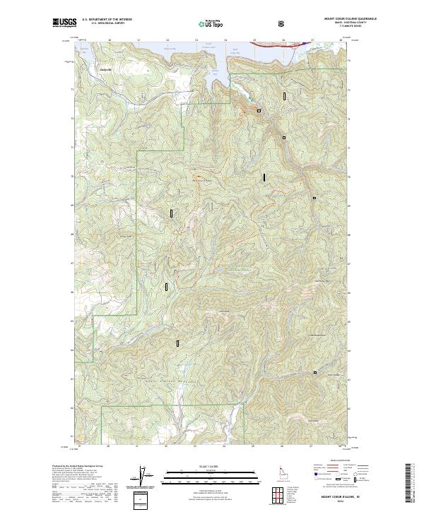
2024 Mount Coeur D'Alene
Kootenai County, ID
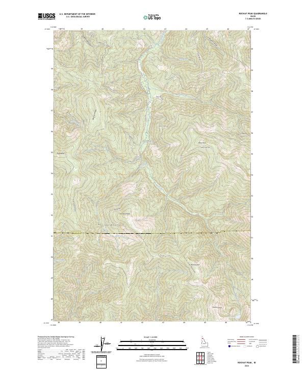
2024 Rochat Peak
Kootenai County, ID
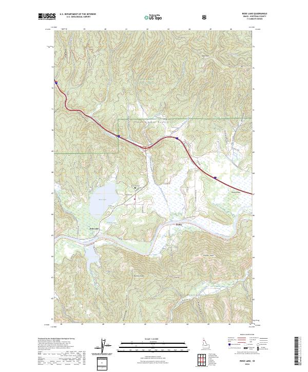
2024 Rose Lake
Kootenai County, ID
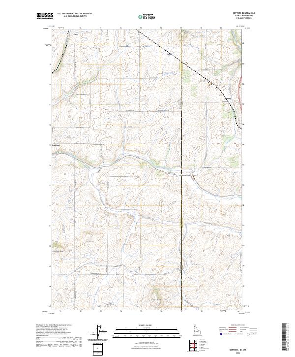
2024 Setters
Kootenai County, ID
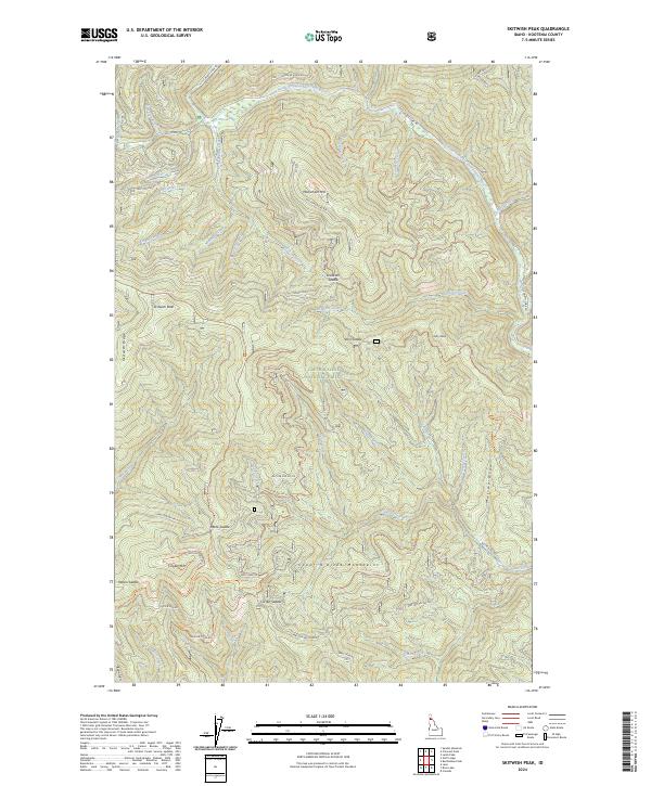
2024 Skitwish Peak
Kootenai County, ID
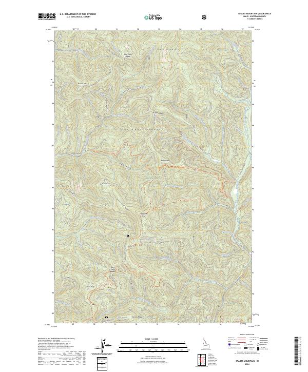
2024 Spades Mountain
Kootenai County, ID
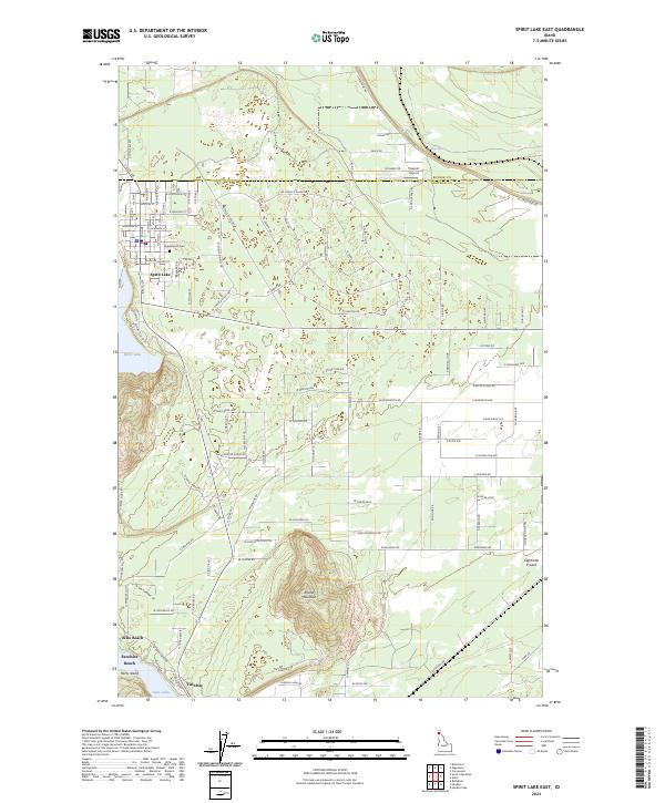
2024 Spirit Lake East
Kootenai County, ID
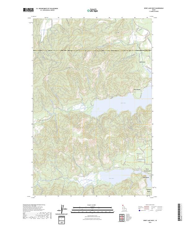
2024 Spirit Lake West
Kootenai County, ID
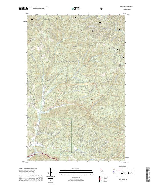
2024 Wolf Lodge
Kootenai County, ID