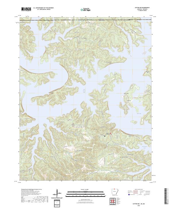
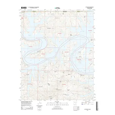
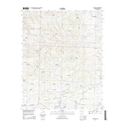
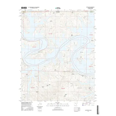
2024 Map of Cotter NW
USGS Topo · Published 2024About this map
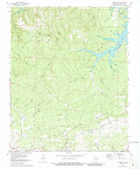
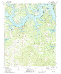
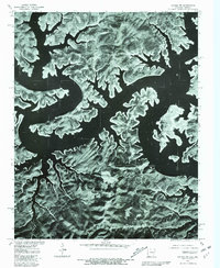
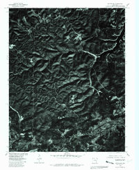
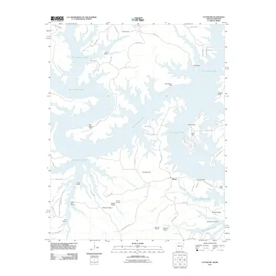
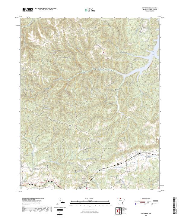
Bull Shoals Lake dominates this northern Arkansas landscape, its winding shoreline and intricate bays like Barnes Bay and Ozark Isle shaping the local geography. The rugged Ozark Plateau terrain is defined by a dense network of hollows and bluffs, including Cane Bottom Bluff and Tie Chute Bluff, which descend toward the water. South of the lake, the community of Midway serves as a central hub, situated near the Old Midway Cem and the specialized Pine Mountain Airpark.
Find a feature on this map
98 named features on this map. Tap any name to fly to it.
Don’t see what you’re looking for? This feature index may not catch every label — zoom into the map to look around manually.
Map Details
Editions of this 2024 Cotter NW Map
This is the sole edition of this map. No revisions or reprints were ever made.
Historical Maps of Midway Through Time
33 maps found
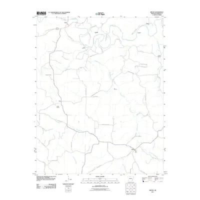
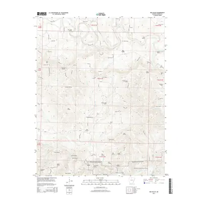
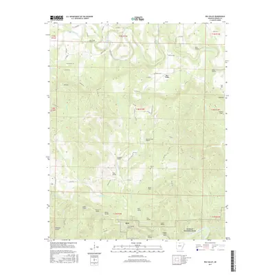
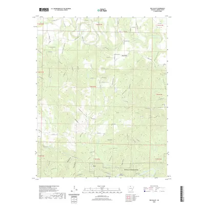
1966 Rea Valley
Marion County, AR
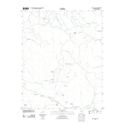
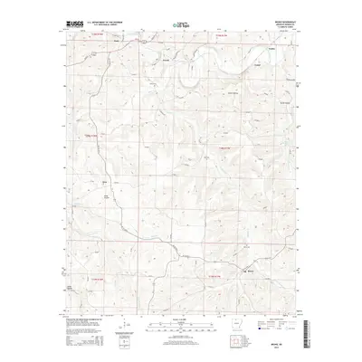
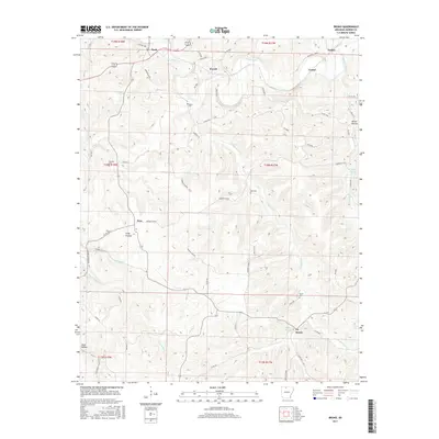
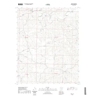
1967 Bruno
Marion County, AR
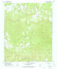
1972 Cotter NW
Marion County, AR
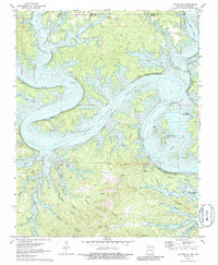
1972 Cotter SW
Marion County, AR
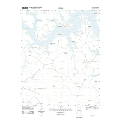
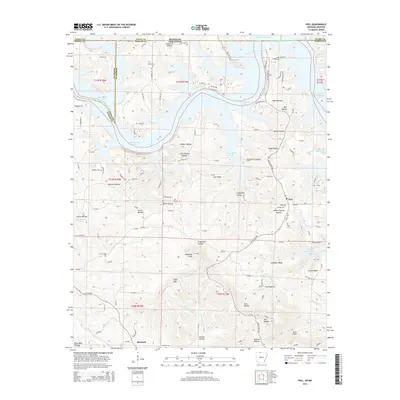
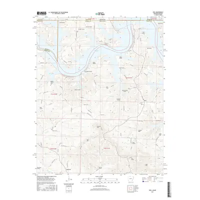
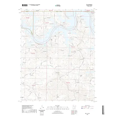
1972 Peel
Marion County, AR
1979 Cotter NW
Marion County, AR
1979 Cotter SW
Marion County, AR

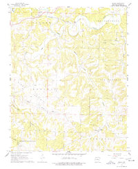
1985 Bull Shoals Lake
Marion County, AR
2011 Bruno
Marion County, AR
2011 Cotter NW
Marion County, AR
2011 Cotter SW
Marion County, AR
2011 Peel
Marion County, AR
2011 Rea Valley
Marion County, AR
2014 Bruno
Marion County, AR
2014 Cotter NW
Marion County, AR
2014 Cotter SW
Marion County, AR
2014 Peel
Marion County, AR
2014 Rea Valley
Marion County, AR
2017 Bruno
Marion County, AR
2017 Cotter NW
Marion County, AR
2017 Cotter SW
Marion County, AR
2017 Peel
Marion County, AR
2017 Rea Valley
Marion County, AR
2020 Bruno
Marion County, AR
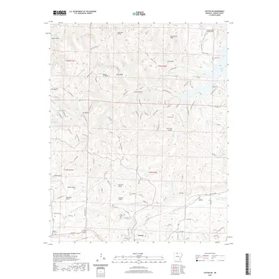
2020 Cotter NW
Marion County, AR
2020 Cotter SW
Marion County, AR
2020 Peel
Marion County, AR
2020 Rea Valley
Marion County, AR
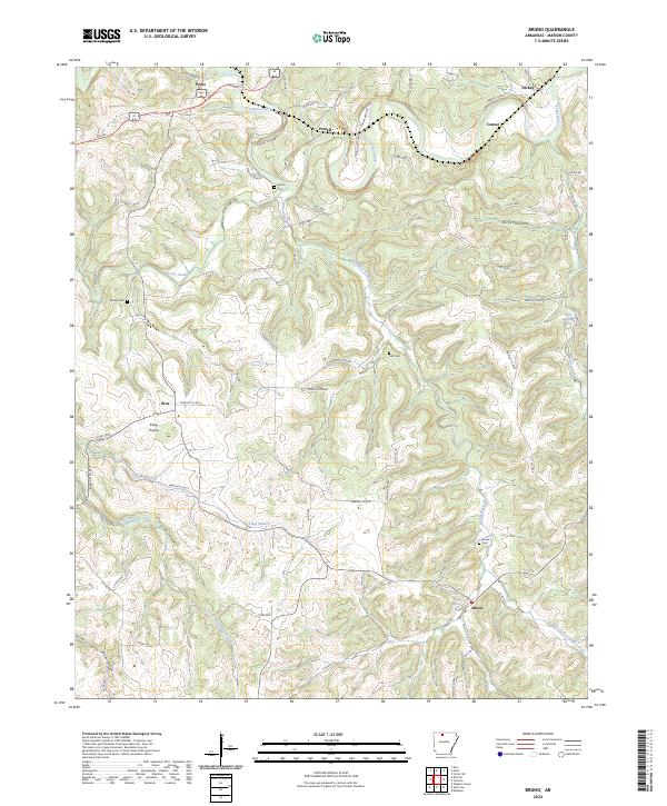
2024 Bruno
Marion County, AR
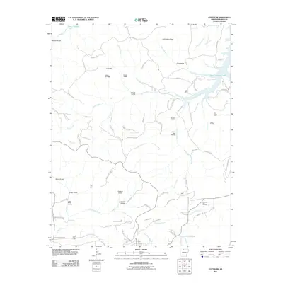
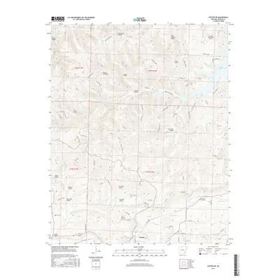
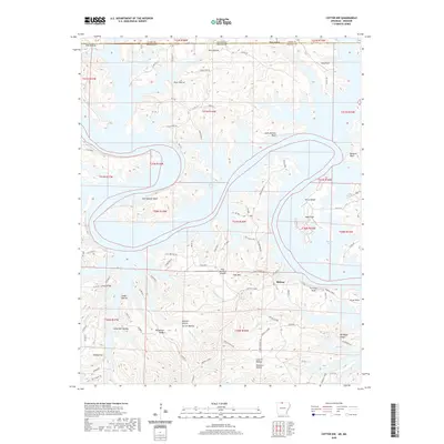
2024 Cotter NW
Marion County, AR
2024 Cotter SW
Marion County, AR
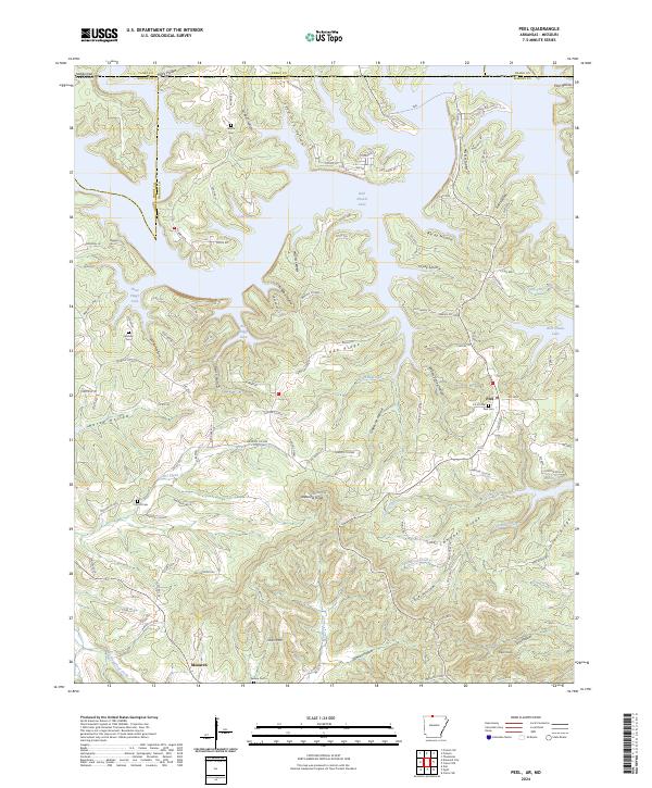
2024 Peel
Marion County, AR
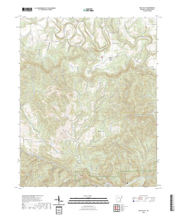
2024 Rea Valley
Marion County, AR