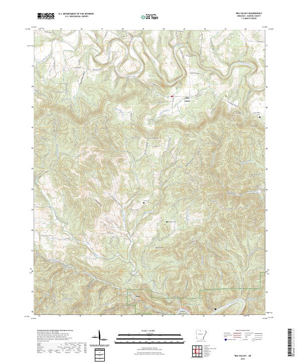
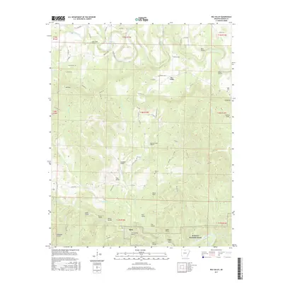
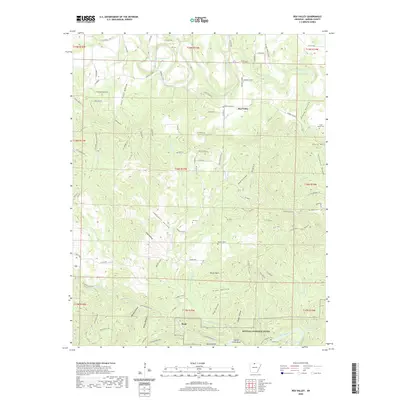
2024 Map of Rea Valley
USGS Topo · Published 2024About this map
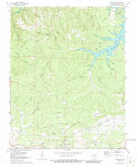
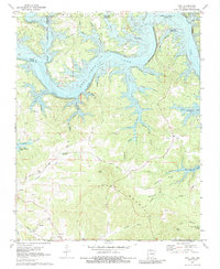
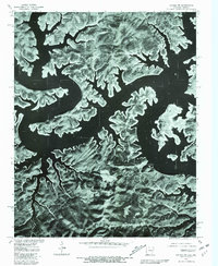
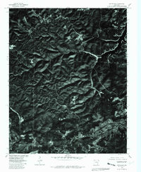
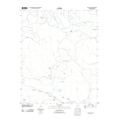
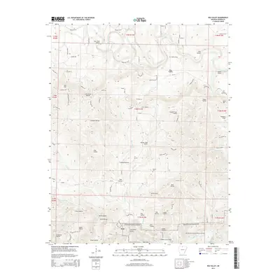
Rea Valley and the southern settlement of Rush anchor this Marion County landscape, defined by a complex network of ridges and hollows that drop toward the Buffalo River. The topography is marked by significant local landmarks such as Hall Mtn, Hand Mtn, and the distinctive Poison Point. These elevations are separated by deep drainages like Elbow Hollow and Campbell Hollow, illustrating the deeply dissected nature of the Ozark plateau in this region.
Find a feature on this map
96 named features on this map. Tap any name to fly to it.
Don’t see what you’re looking for? This feature index may not catch every label — zoom into the map to look around manually.
Map Details
Editions of this 2024 Rea Valley Map
This is the sole edition of this map. No revisions or reprints were ever made.
Historical Maps of Rea Valley Through Time
33 maps found
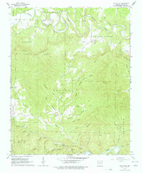
1966 Rea Valley
Marion County, AR
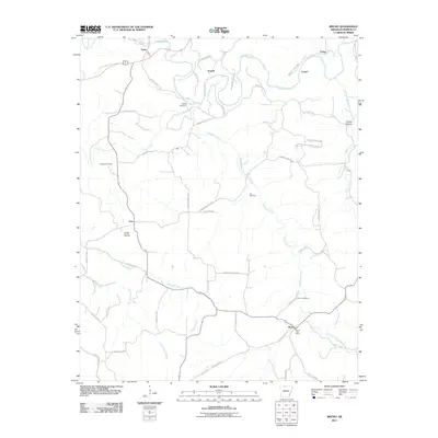
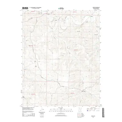
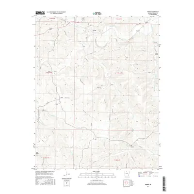
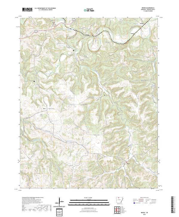
1967 Bruno
Marion County, AR
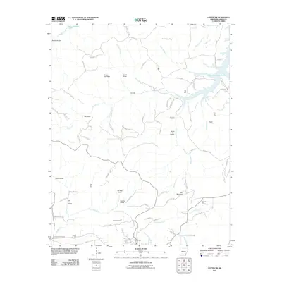
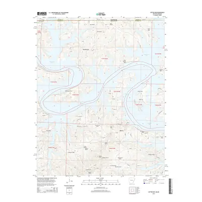
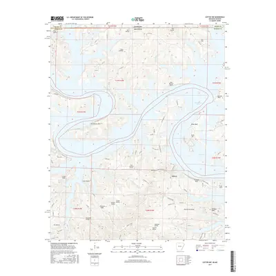
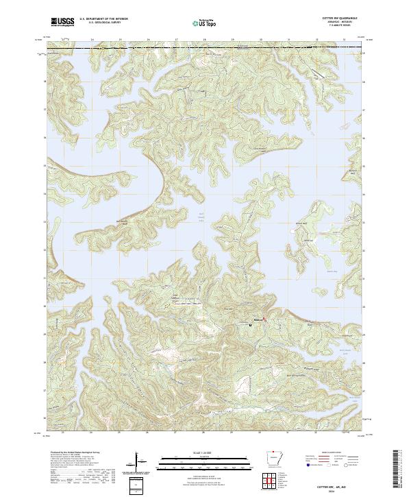
1972 Cotter NW
Marion County, AR
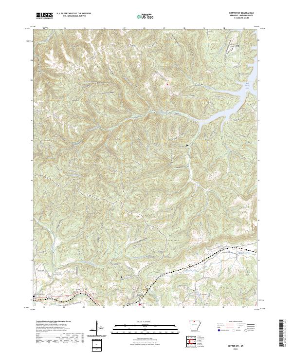
1972 Cotter SW
Marion County, AR
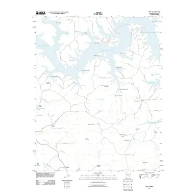
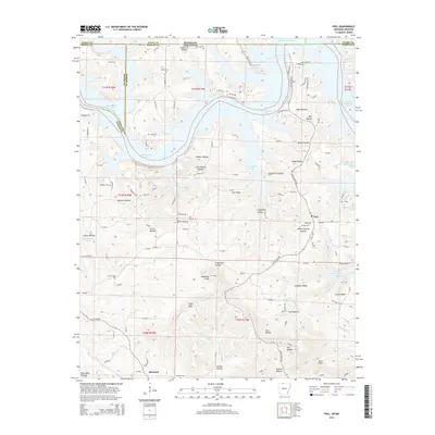
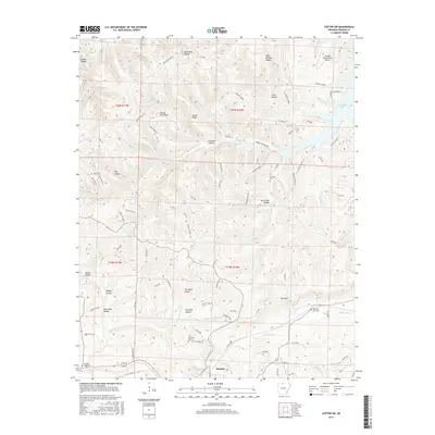
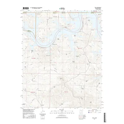
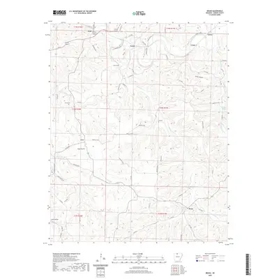
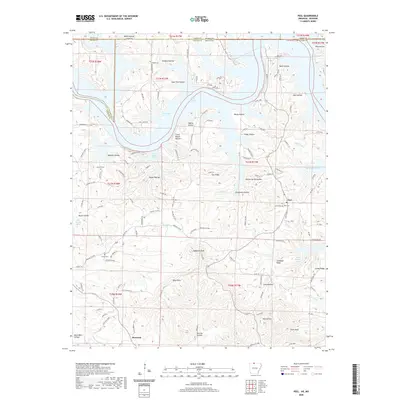
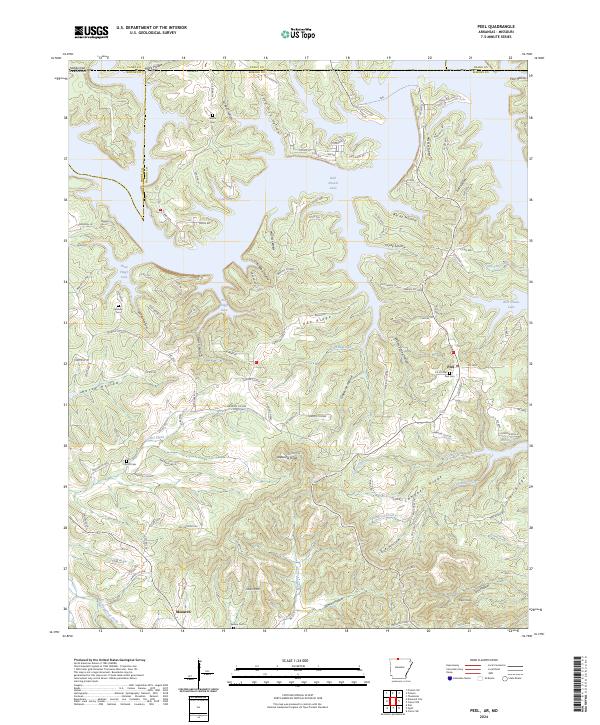
1972 Peel
Marion County, AR
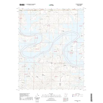
1979 Cotter NW
Marion County, AR
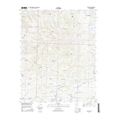
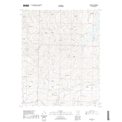
1979 Cotter SW
Marion County, AR

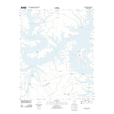
1985 Bull Shoals Lake
Marion County, AR
2011 Bruno
Marion County, AR
2011 Cotter NW
Marion County, AR
2011 Cotter SW
Marion County, AR
2011 Peel
Marion County, AR
2011 Rea Valley
Marion County, AR
2014 Bruno
Marion County, AR
2014 Cotter NW
Marion County, AR
2014 Cotter SW
Marion County, AR
2014 Peel
Marion County, AR
2014 Rea Valley
Marion County, AR
2017 Bruno
Marion County, AR
2017 Cotter NW
Marion County, AR
2017 Cotter SW
Marion County, AR
2017 Peel
Marion County, AR
2017 Rea Valley
Marion County, AR
2020 Bruno
Marion County, AR
2020 Cotter NW
Marion County, AR
2020 Cotter SW
Marion County, AR
2020 Peel
Marion County, AR
2020 Rea Valley
Marion County, AR
2024 Bruno
Marion County, AR
2024 Cotter NW
Marion County, AR
2024 Cotter SW
Marion County, AR
2024 Peel
Marion County, AR
2024 Rea Valley
Marion County, AR