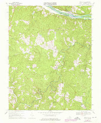
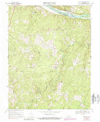
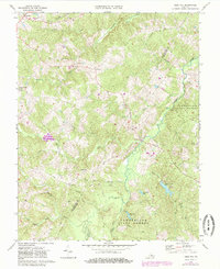
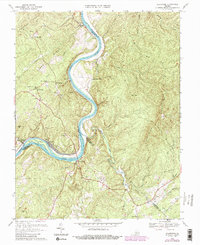
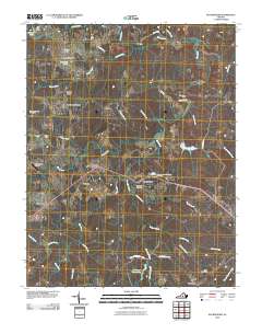
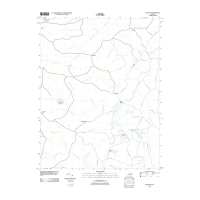
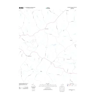
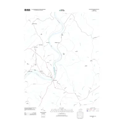
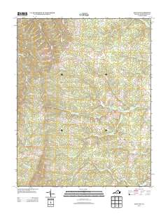
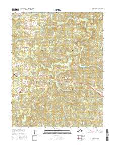
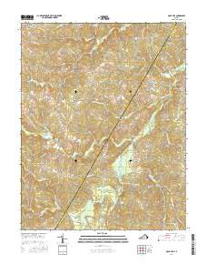
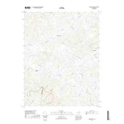
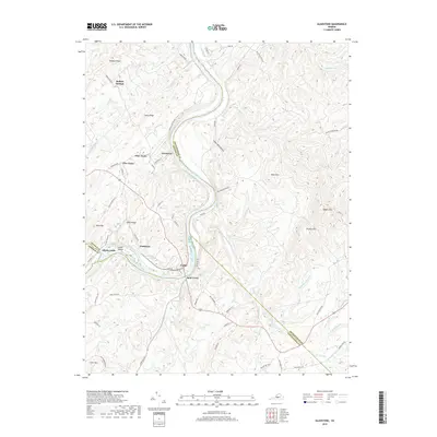
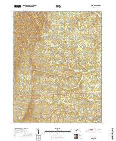
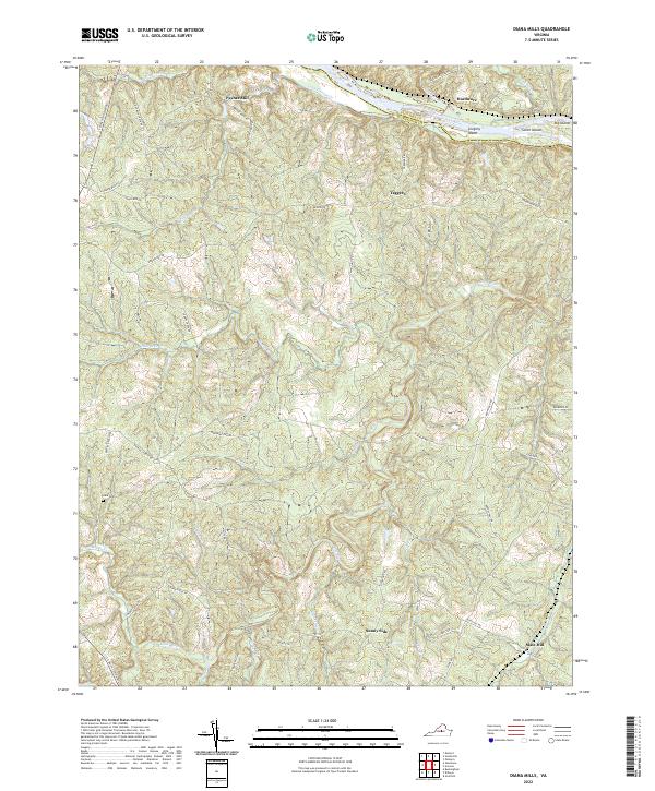
1967 Map of Diana Mills
USGS Topo · Published 1976About this map
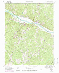
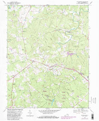
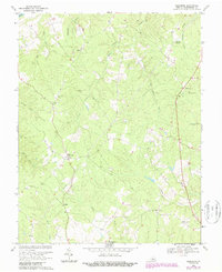
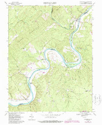
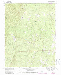
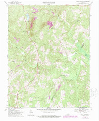
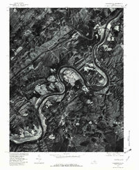
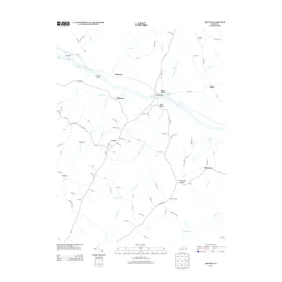
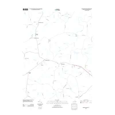
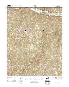
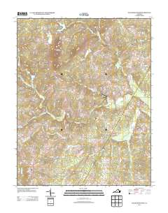
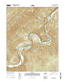
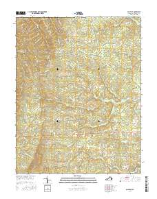
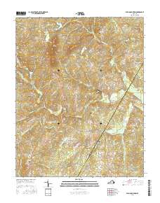
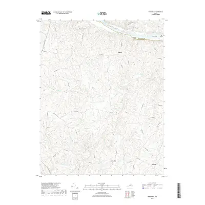
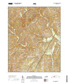
The Slate River meanders through the heart of Buckingham County, joining a network of waterways that defined the 1960s rural landscape near Diana Mills. This interior Virginia region is marked by small crossroads settlements such as Well Water, Melita, and Sunny Side, which served the surrounding timber and agricultural lands. Along the northern edge, the James River corridor provides a sharp contrast with the Chesapeake and Ohio railroad line following the bank past Seven Islands and Big Island. Local community life is anchored by numerous country churches, including Mt Tabor Ch, Union Branch Ch, and Spreading Oak Ch. Significant riparian habitat is preserved within the Hardware River State Wildlife Management Area, where the Rockfish River and Hardware settlement meet the larger river system.
Find a feature on this map
30 named features on this map. Tap any name to fly to it.
Don’t see what you’re looking for? This feature index may not catch every label — zoom into the map to look around manually.
Map Details
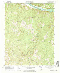
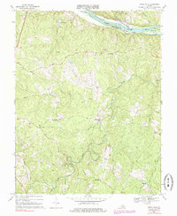
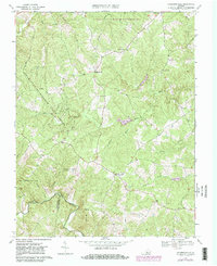
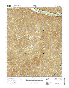
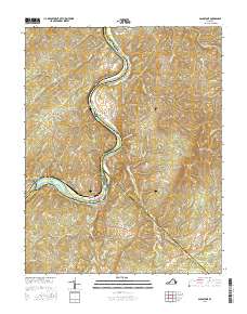
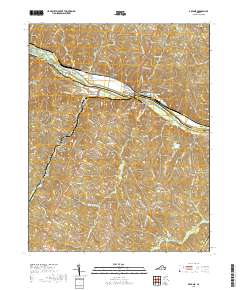
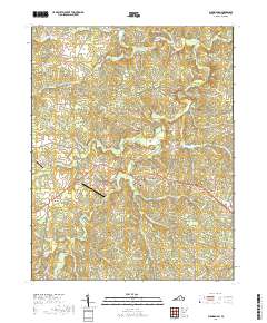
Editions of this 1967 Diana Mills Map
4 editions found
Historical Maps of Slate Hill Through Time
62 maps found

1961 Buckingham
Buckingham County, VA
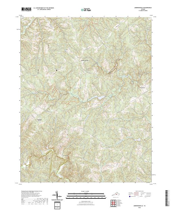
1967 Andersonville
Buckingham County, VA
1967 Diana Mills
Buckingham County, VA
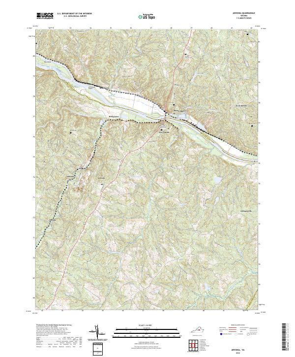
1968 Arvonia
Buckingham County, VA
1968 Buckingham
Buckingham County, VA
1968 Glenmore
Buckingham County, VA
1968 Gold Hill
Buckingham County, VA
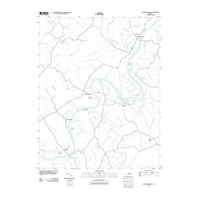
1968 Howardsville
Buckingham County, VA
1968 Saint Joy
Buckingham County, VA
1968 Willis Mountain
Buckingham County, VA
1969 Gladstone
Buckingham County, VA
1979 Howardsville
Buckingham County, VA
2010 Andersonville
Buckingham County, VA
2010 Arvonia
Buckingham County, VA
2010 Buckingham
Buckingham County, VA
2010 Diana Mills
Buckingham County, VA
2010 Gladstone
Buckingham County, VA
2010 Glenmore
Buckingham County, VA
2010 Gold Hill
Buckingham County, VA
2010 Howardsville
Buckingham County, VA
2010 Saint Joy
Buckingham County, VA
2010 Willis Mountain
Buckingham County, VA
2013 Andersonville
Buckingham County, VA
2013 Arvonia
Buckingham County, VA
2013 Buckingham
Buckingham County, VA
2013 Diana Mills
Buckingham County, VA
2013 Gladstone
Buckingham County, VA
2013 Glenmore
Buckingham County, VA
2013 Gold Hill
Buckingham County, VA
2013 Howardsville
Buckingham County, VA
2013 Saint Joy
Buckingham County, VA
2013 Willis Mountain
Buckingham County, VA
2016 Andersonville
Buckingham County, VA
2016 Arvonia
Buckingham County, VA
2016 Buckingham
Buckingham County, VA
2016 Diana Mills
Buckingham County, VA
2016 Gladstone
Buckingham County, VA
2016 Glenmore
Buckingham County, VA
2016 Gold Hill
Buckingham County, VA
2016 Howardsville
Buckingham County, VA
2016 Saint Joy
Buckingham County, VA
2016 Willis Mountain
Buckingham County, VA
2019 Andersonville
Buckingham County, VA
2019 Arvonia
Buckingham County, VA
2019 Buckingham
Buckingham County, VA
2019 Diana Mills
Buckingham County, VA
2019 Gladstone
Buckingham County, VA
2019 Glenmore
Buckingham County, VA
2019 Gold Hill
Buckingham County, VA
2019 Howardsville
Buckingham County, VA
2019 Saint Joy
Buckingham County, VA
2019 Willis Mountain
Buckingham County, VA
2022 Andersonville
Buckingham County, VA
2022 Arvonia
Buckingham County, VA
2022 Buckingham
Buckingham County, VA
2022 Diana Mills
Buckingham County, VA

2022 Gladstone
Buckingham County, VA
2022 Glenmore
Buckingham County, VA
2022 Gold Hill
Buckingham County, VA
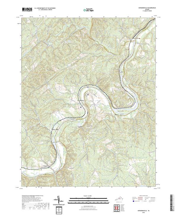
2022 Howardsville
Buckingham County, VA
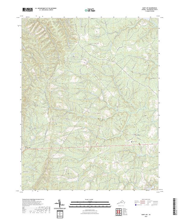
2022 Saint Joy
Buckingham County, VA
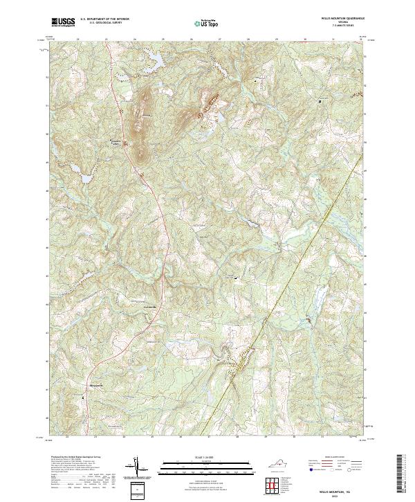
2022 Willis Mountain
Buckingham County, VA