
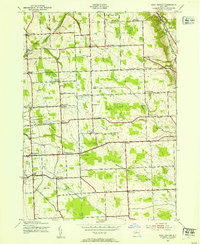
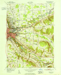
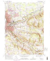
2023 Map of Dryden
USGS Topo · Published 2023About this map
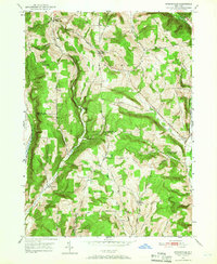
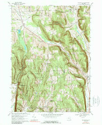
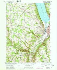
Dryden serves as the primary hub in this central New York landscape, situated where Virgil Creek flows toward the larger drainage basins. The geography here is defined by significant elevations, including Yellow Barn Hill and Hammond Hill, which separate the local valleys. To the south, the settlements of Slaterville Springs and West Slaterville line the corridor along Six Mile Creek, illustrating a classic pattern of village development following the water's edge.
Find a feature on this map
102 named features on this map. Tap any name to fly to it.
Don’t see what you’re looking for? This feature index may not catch every label — zoom into the map to look around manually.
Map Details
Editions of this 2023 Dryden Map
This is the sole edition of this map. No revisions or reprints were ever made.
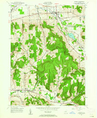
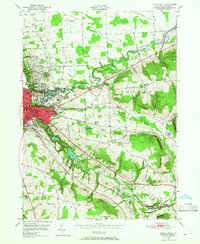
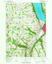
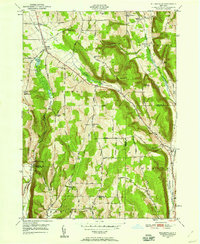
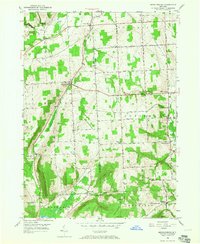
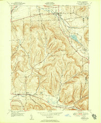
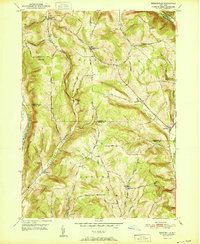
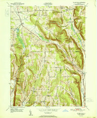
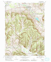
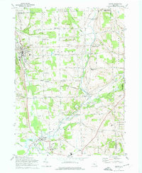
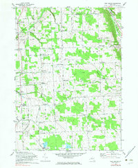
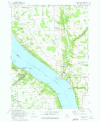
Historical Maps of Cortland County Through Time
35 maps found

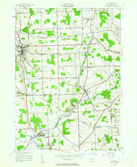
1900 Dryden
Tompkins County, NY
1942 Groton
Tompkins County, NY
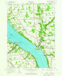
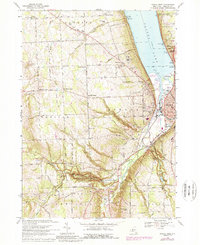
1942 Ludlowville
Tompkins County, NY
1943 Groton
Tompkins County, NY
1943 Ludlowville
Tompkins County, NY
1943 West Groton
Tompkins County, NY
1949 Dryden
Tompkins County, NY
1949 Ithaca East
Tompkins County, NY
1949 Ithaca West
Tompkins County, NY
1949 Speedsville
Tompkins County, NY
1949 Willseyville
Tompkins County, NY
1950 Mecklenburg
Tompkins County, NY
1951 Dryden
Tompkins County, NY
1951 Ithaca East
Tompkins County, NY
1951 Speedsville
Tompkins County, NY
1951 Willseyville
Tompkins County, NY
1969 Dryden
Tompkins County, NY
1969 Ithaca East
Tompkins County, NY
1969 Ithaca West
Tompkins County, NY
1969 Mecklenburg
Tompkins County, NY
1969 Speedsville
Tompkins County, NY
1969 Willseyville
Tompkins County, NY
1970 Groton
Tompkins County, NY
1970 West Groton
Tompkins County, NY
1971 Ludlowville
Tompkins County, NY
1978 Ithaca West
Tompkins County, NY
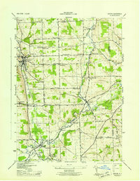
2023 Dryden
Tompkins County, NY

2023 Groton
Tompkins County, NY

2023 Ithaca East
Tompkins County, NY

2023 Ithaca West
Tompkins County, NY

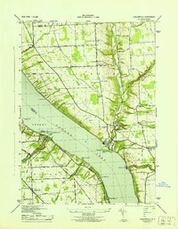
2023 Ludlowville
Tompkins County, NY

2023 Mecklenburg
Tompkins County, NY

2023 Speedsville
Tompkins County, NY

2023 West Groton
Tompkins County, NY

2023 Willseyville
Tompkins County, NY