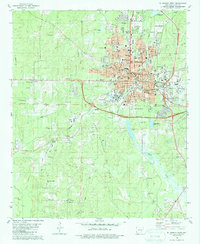
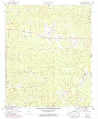
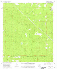
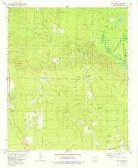
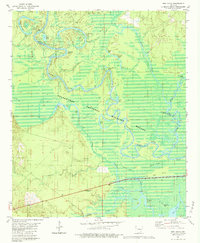
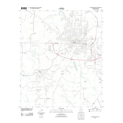
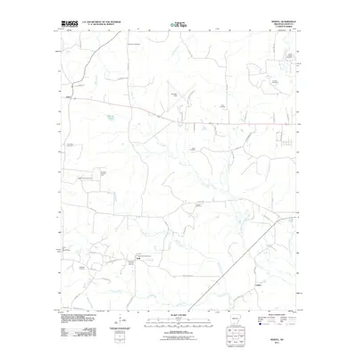
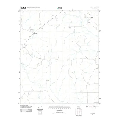
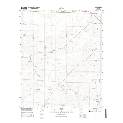
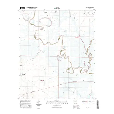
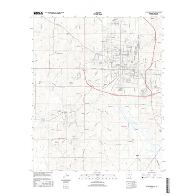
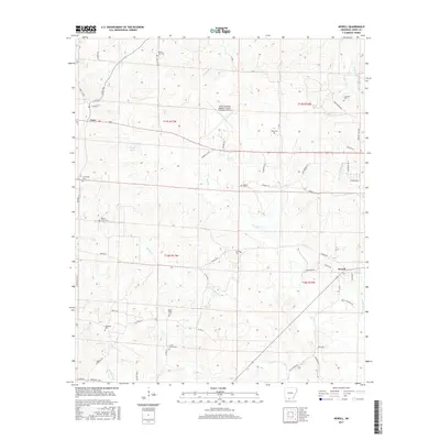
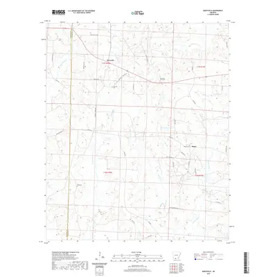
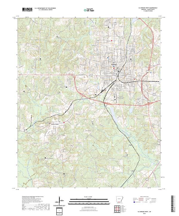
1981 Map of El Dorado West
USGS Topo · Published 1987About this map
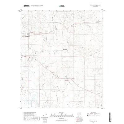
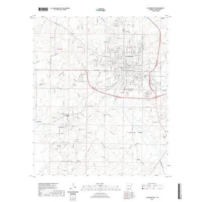
The South El Dorado Oil Field and Nick Springs Oil Field dominate the landscape of southern Union County in this early 1980s look at the region. The industrial character of the area is further defined by the Refinery, a large Tank Farm, and the Downtown Airport south of the city center. This period shows the city of El Dorado as a hub of education and community, featuring the Southern Arkansas Univ (El Dorado Branch) and several local schools like Hugh Goodwin Sch and Yocum Sch. The outskirts are dotted with small religious and burial sites including Barkers Chapel and the Old Parkers Chapel Cem. These small rural markers provide significant genealogical context, contrasting with the developed urban grid and the extensive infrastructure of the local oil industry.
Find a feature on this map
69 named features on this map. Tap any name to fly to it.
Don’t see what you’re looking for? This feature index may not catch every label — zoom into the map to look around manually.
Map Details
Editions of this 1981 El Dorado West Map
2 editions found
Historical Maps of El Dorado Through Time
60 maps found
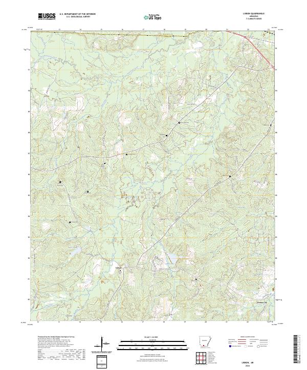
1962 Lisbon
Union County, AR
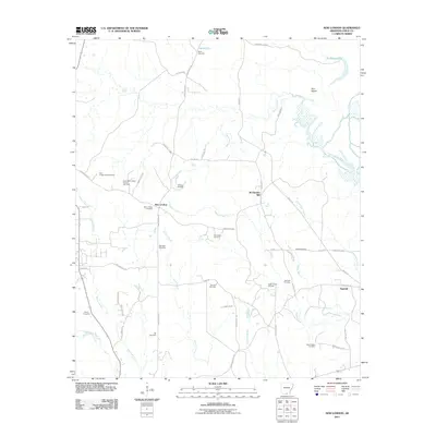
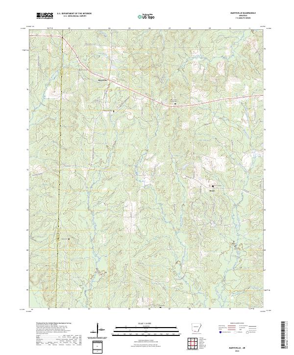
1971 Marysville
Union County, AR
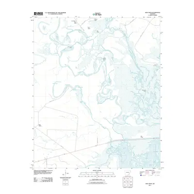
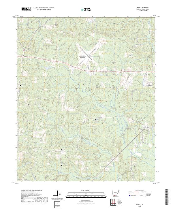
1971 Newell
Union County, AR
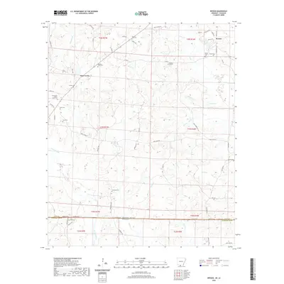
1971 Wesson SW
Union County, AR
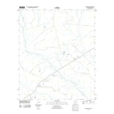
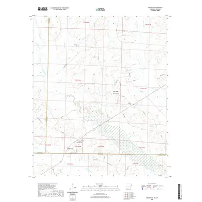
1971 Wesson
Union County, AR
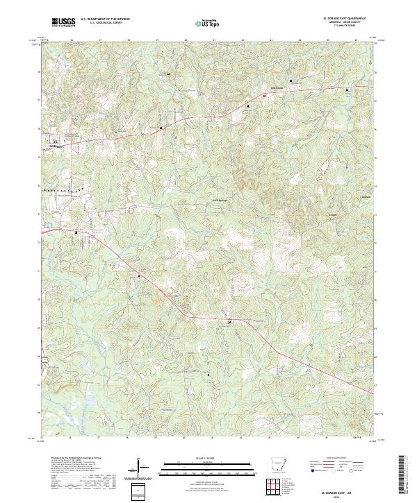
1981 El Dorado East
Union County, AR
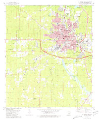
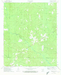
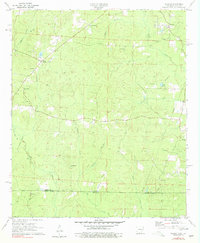
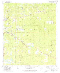
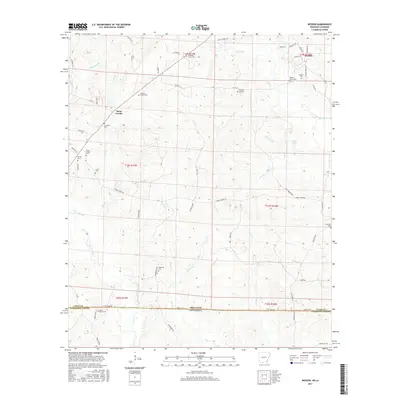
1981 El Dorado West
Union County, AR
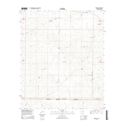
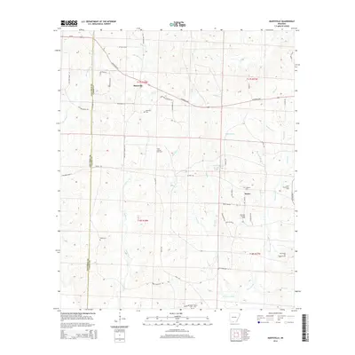
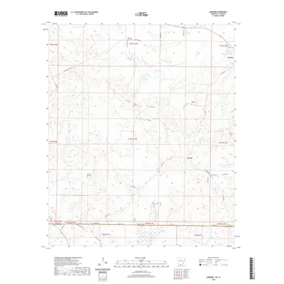
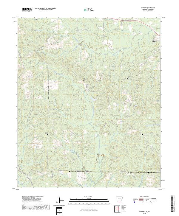
1981 Gardner
Union County, AR
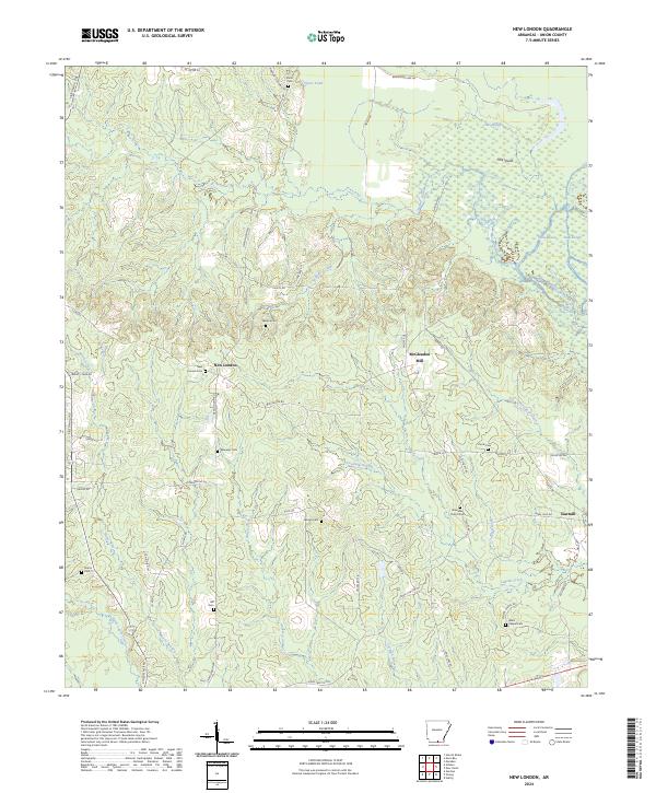
1981 New London
Union County, AR
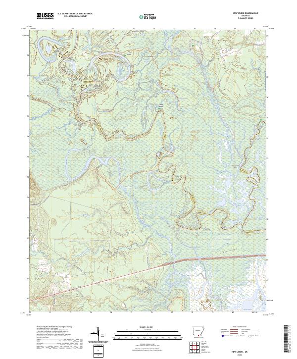
1981 New Union
Union County, AR
2011 El Dorado East
Union County, AR
2011 El Dorado West
Union County, AR
2011 Gardner
Union County, AR
2011 Lisbon
Union County, AR
2011 Marysville
Union County, AR
2011 Newell
Union County, AR
2011 New London
Union County, AR
2011 New Union
Union County, AR
2011 Wesson SW
Union County, AR
2011 Wesson
Union County, AR
2014 El Dorado East
Union County, AR
2014 El Dorado West
Union County, AR
2014 Gardner
Union County, AR
2014 Lisbon
Union County, AR
2014 Marysville
Union County, AR
2014 Newell
Union County, AR
2014 New London
Union County, AR
2014 New Union
Union County, AR
2014 Wesson SW
Union County, AR
2014 Wesson
Union County, AR
2017 El Dorado East
Union County, AR
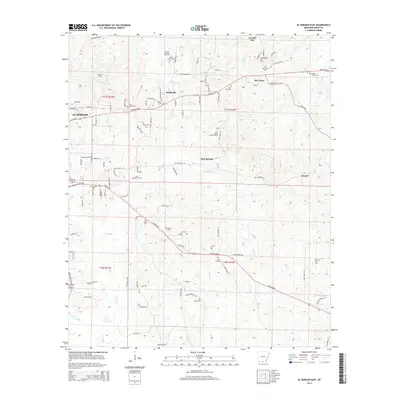
2017 El Dorado West
Union County, AR
2017 Gardner
Union County, AR
2017 Lisbon
Union County, AR
2017 Marysville
Union County, AR
2017 Newell
Union County, AR
2017 New London
Union County, AR
2017 New Union
Union County, AR
2017 Wesson SW
Union County, AR
2017 Wesson
Union County, AR
2020 El Dorado East
Union County, AR
2020 El Dorado West
Union County, AR
2020 Gardner
Union County, AR

2020 Lisbon
Union County, AR
2020 Marysville
Union County, AR
2020 Newell
Union County, AR
2020 New London
Union County, AR
2020 New Union
Union County, AR
2020 Wesson SW
Union County, AR
2020 Wesson
Union County, AR
2024 El Dorado East
Union County, AR
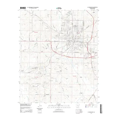
2024 El Dorado West
Union County, AR
2024 Gardner
Union County, AR
2024 Lisbon
Union County, AR
2024 Marysville
Union County, AR
2024 Newell
Union County, AR
2024 New London
Union County, AR
2024 New Union
Union County, AR
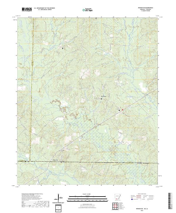
2024 Wesson SW
Union County, AR
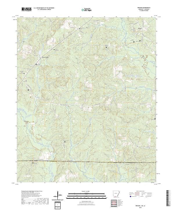
2024 Wesson
Union County, AR