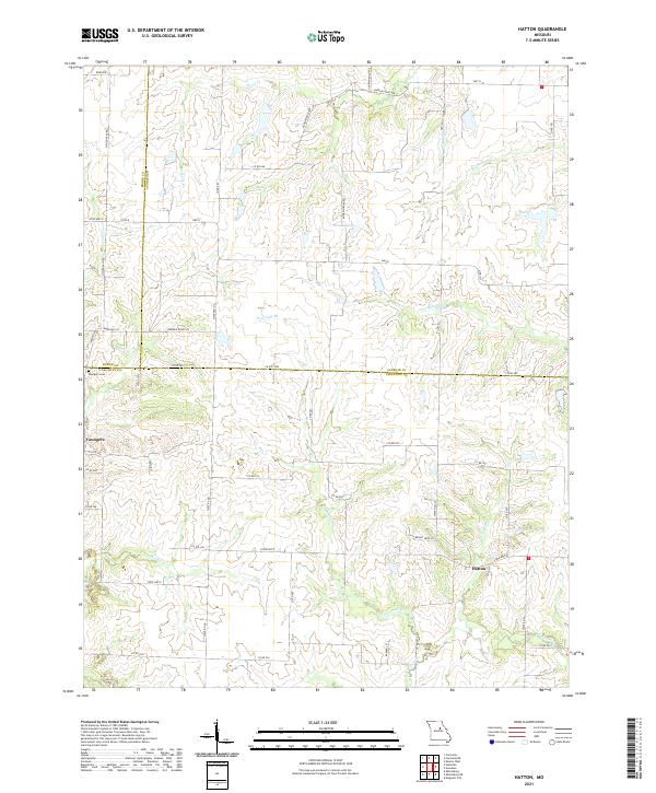
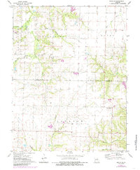
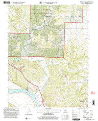
2021 Map of Hatton
USGS Topo · Published 2021About this map
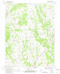
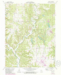
Hatton and Youngers anchor this rural landscape in central Missouri, where the intersections of Boone, Audrain, and Callaway counties meet. The terrain is defined by a dense network of tributaries including Fourmile Br, Davis Cr, and Cedar Cr, which carve through the land to feed the larger Auxvasse Cr. Local landmarks like Bruns Lake and the Youngers Cem provide specific points of interest for those researching the social and physical geography of the area.
Find a feature on this map
55 named features on this map. Tap any name to fly to it.
Don’t see what you’re looking for? This feature index may not catch every label — zoom into the map to look around manually.
Map Details
Editions of this 2021 Hatton Map
This is the sole edition of this map. No revisions or reprints were ever made.
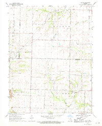
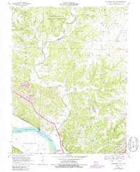
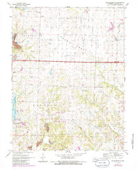
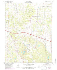
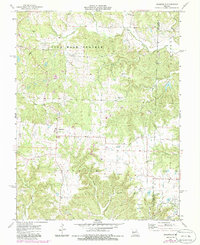
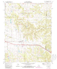
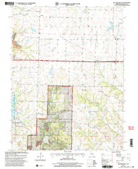
Historical Maps of Youngers Through Time
32 maps found

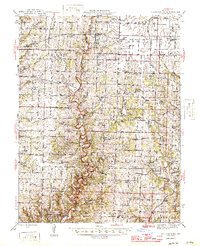
1944 Millersburg
Callaway County, MO
1946 Millersburg
Callaway County, MO
1962 Jefferson City NW
Callaway County, MO
1967 Osage City
Callaway County, MO
1969 Guthrie
Callaway County, MO
1969 Hatton
Callaway County, MO
1969 Jefferson City NW
Callaway County, MO
1969 Millersburg NE
Callaway County, MO
1972 Mexico SE
Callaway County, MO
1973 Calwood
Callaway County, MO
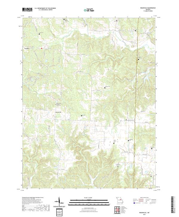
1973 Readsville
Callaway County, MO
1973 Williamsburg
Callaway County, MO
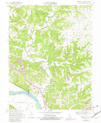
1975 Mokane East
Callaway County, MO
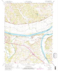
1975 Mokane West
Callaway County, MO
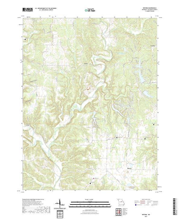
1975 Reform
Callaway County, MO
2000 Guthrie
Callaway County, MO
2000 Jefferson City NW
Callaway County, MO
2000 Millersburg NE
Callaway County, MO
2000 Mokane East
Callaway County, MO
2000 Mokane West
Callaway County, MO
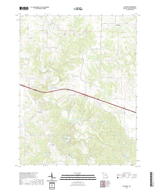
2021 Calwood
Callaway County, MO
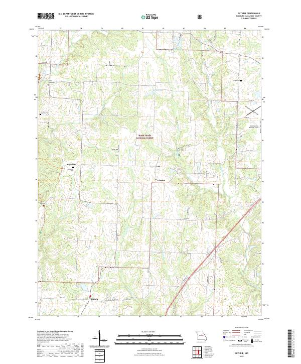
2021 Guthrie
Callaway County, MO
2021 Hatton
Callaway County, MO
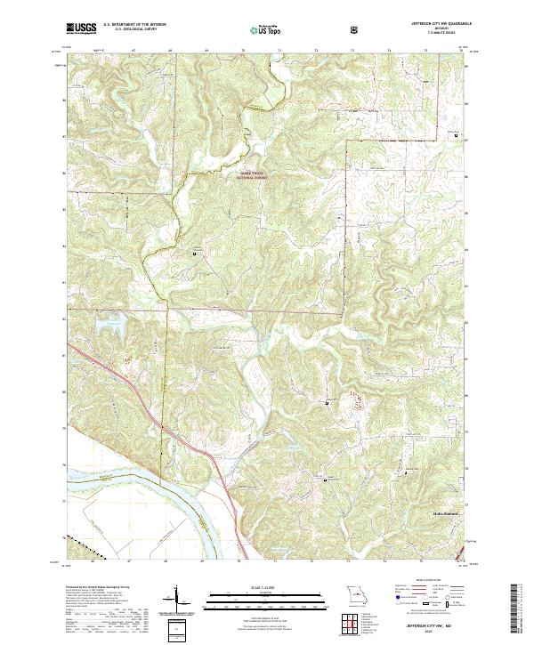
2021 Jefferson City NW
Callaway County, MO
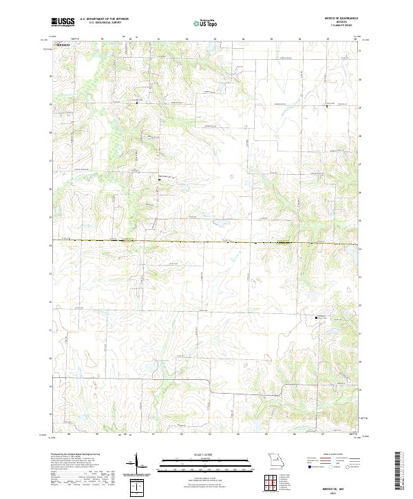
2021 Mexico SE
Callaway County, MO
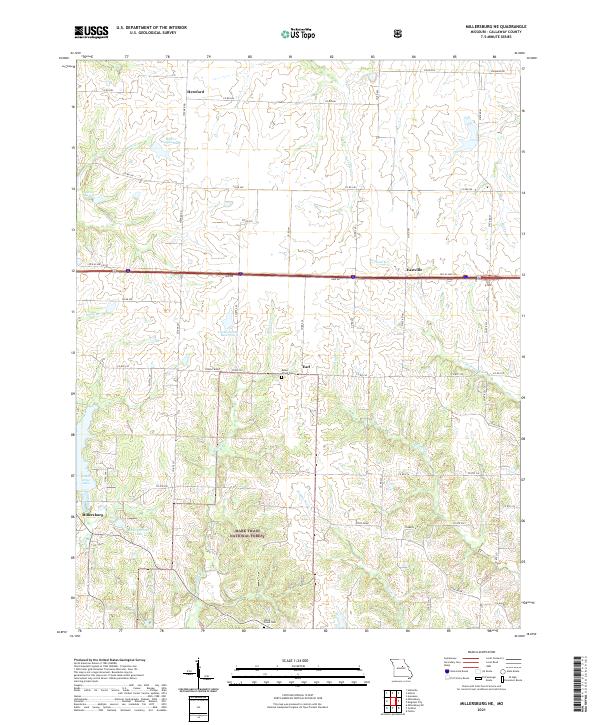
2021 Millersburg NE
Callaway County, MO
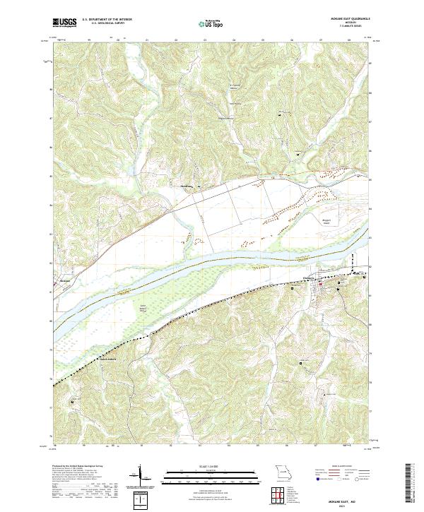
2021 Mokane East
Callaway County, MO
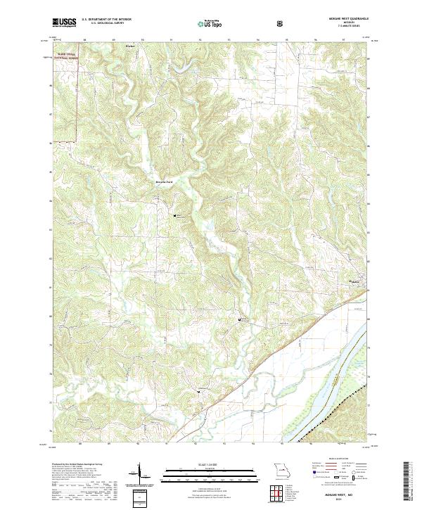
2021 Mokane West
Callaway County, MO
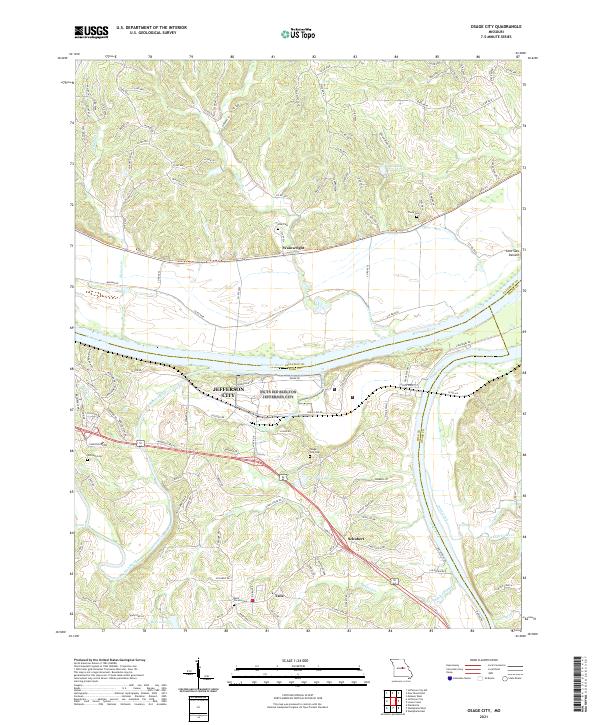
2021 Osage City
Callaway County, MO
2021 Readsville
Callaway County, MO
2021 Reform
Callaway County, MO
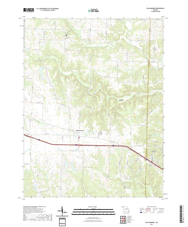
2021 Williamsburg
Callaway County, MO