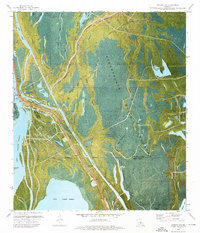
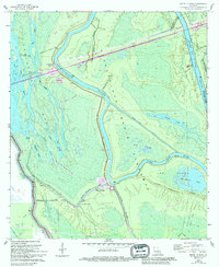
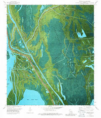
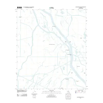
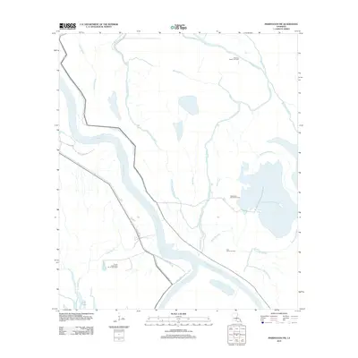
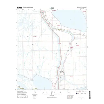
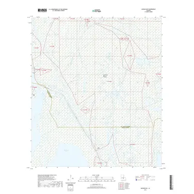
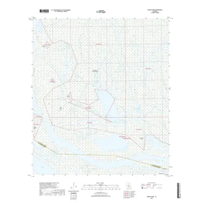
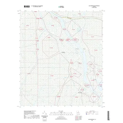
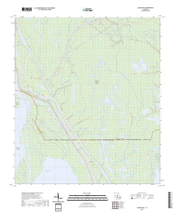
1973 Map of Jackass Bay
USGS Topo · Published 1976About this map
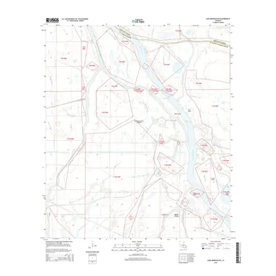
The Atchafalaya Basin Floodway dominates this landscape, showing a complex network of waterways where the waters of the Lake Fausse Pointe meet the dense bayou systems of St. Martin and Iberia Parishes. The 1970s orthophoto base reveals the industrial footprint of the Lake Chicot Oil and Gas Field and scattered Oil Wells integrated into the wetland environment. Human presence is evidenced by the Grand Bayou Mission and various infrastructure points like the West Fausse Pointe Protection Levee and several boat ramps.
Find a feature on this map
40 named features on this map. Tap any name to fly to it.
Don’t see what you’re looking for? This feature index may not catch every label — zoom into the map to look around manually.
Map Details
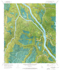
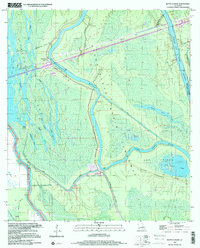
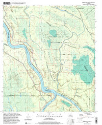
Editions of this 1973 Jackass Bay Map
3 editions found
Historical Maps of Iberia Parish Through Time
46 maps found
1939 St. Martinsville
St. Martin Parish, LA

1948 Foster
St. Martin Parish, LA
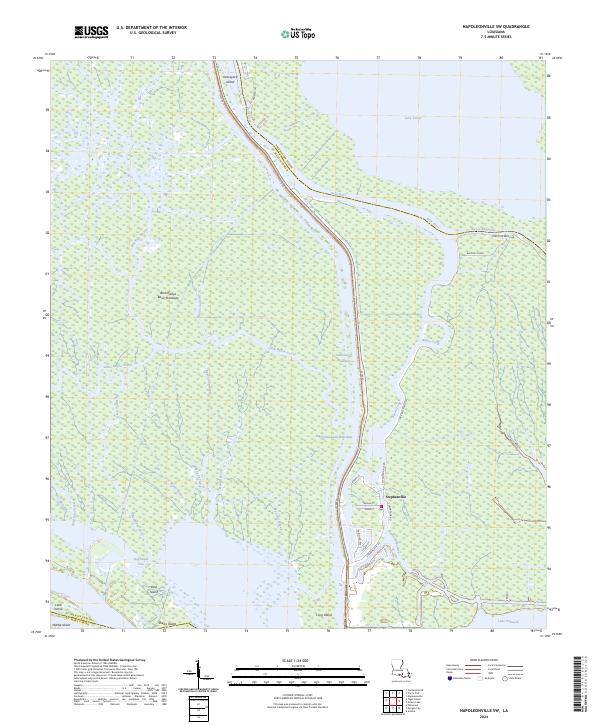
1966 Napoleonville SW
St. Martin Parish, LA
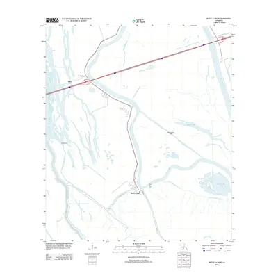
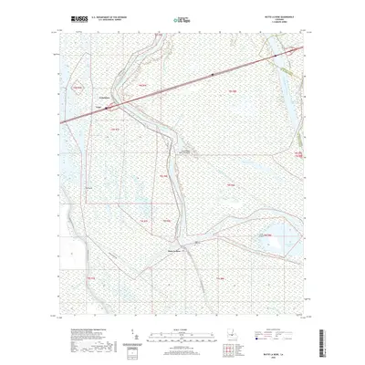
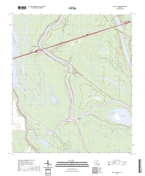
1968 Butte La Rose
St. Martin Parish, LA
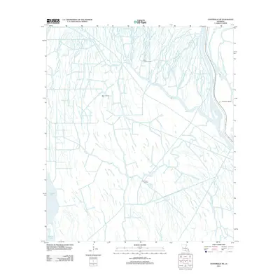
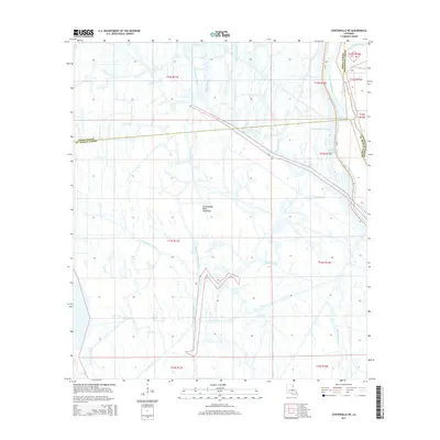
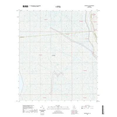
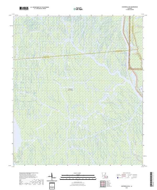
1969 Centerville NE
St. Martin Parish, LA
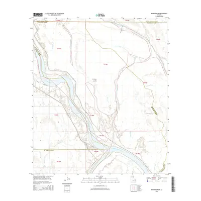
1969 Maringouin NW
St. Martin Parish, LA
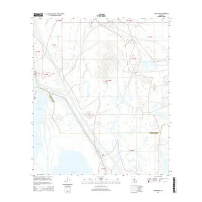
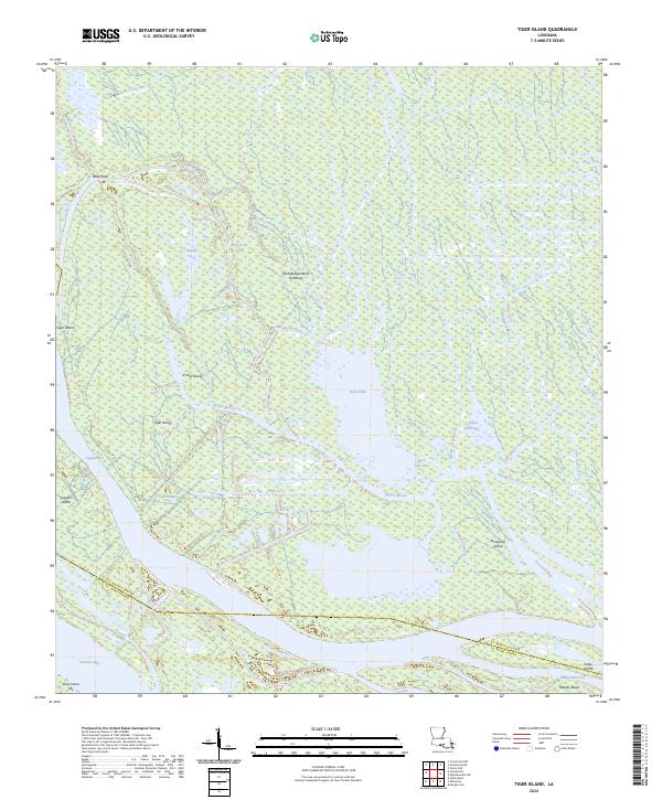
1969 Tiger Island
St. Martin Parish, LA
1973 Jackass Bay
St. Martin Parish, LA
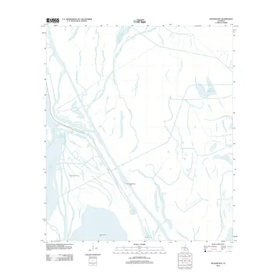
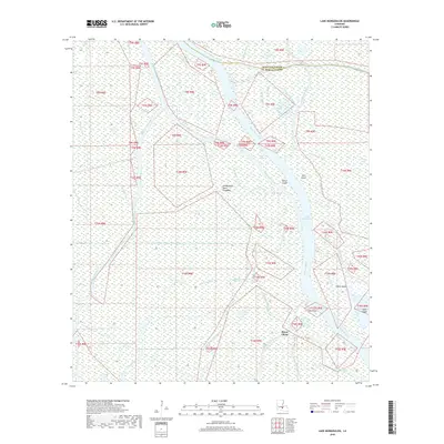
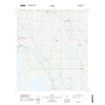
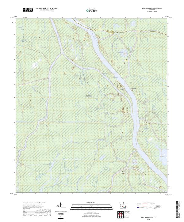
1973 Lake Mongoulois
St. Martin Parish, LA
1999 Butte La Rose
St. Martin Parish, LA
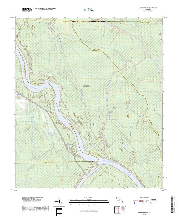
1999 Maringouin NW
St. Martin Parish, LA
2012 Butte La Rose
St. Martin Parish, LA
2012 Centerville NE
St. Martin Parish, LA
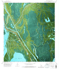
2012 Jackass Bay
St. Martin Parish, LA
2012 Lake Mongoulois
St. Martin Parish, LA
2012 Maringouin NW
St. Martin Parish, LA
2012 Napoleonville SW
St. Martin Parish, LA
2012 Tiger Island
St. Martin Parish, LA
2015 Butte La Rose
St. Martin Parish, LA
2015 Centerville NE
St. Martin Parish, LA
2015 Jackass Bay
St. Martin Parish, LA
2015 Lake Mongoulois
St. Martin Parish, LA
2015 Maringouin NW
St. Martin Parish, LA
2015 Napoleonville SW
St. Martin Parish, LA
2015 Tiger Island
St. Martin Parish, LA
2018 Butte La Rose
St. Martin Parish, LA
2018 Centerville NE
St. Martin Parish, LA
2018 Jackass Bay
St. Martin Parish, LA
2018 Lake Mongoulois
St. Martin Parish, LA
2018 Maringouin NW
St. Martin Parish, LA
2018 Napoleonville SW
St. Martin Parish, LA
2018 Tiger Island
St. Martin Parish, LA
2020 Butte La Rose
St. Martin Parish, LA
2020 Centerville NE
St. Martin Parish, LA
2020 Jackass Bay
St. Martin Parish, LA
2020 Lake Mongoulois
St. Martin Parish, LA
2020 Maringouin NW
St. Martin Parish, LA
2020 Napoleonville SW
St. Martin Parish, LA
2020 Tiger Island
St. Martin Parish, LA
2024 Butte La Rose
St. Martin Parish, LA
2024 Centerville NE
St. Martin Parish, LA
2024 Jackass Bay
St. Martin Parish, LA
2024 Lake Mongoulois
St. Martin Parish, LA
2024 Maringouin NW
St. Martin Parish, LA
2024 Napoleonville SW
St. Martin Parish, LA
2024 Tiger Island
St. Martin Parish, LA