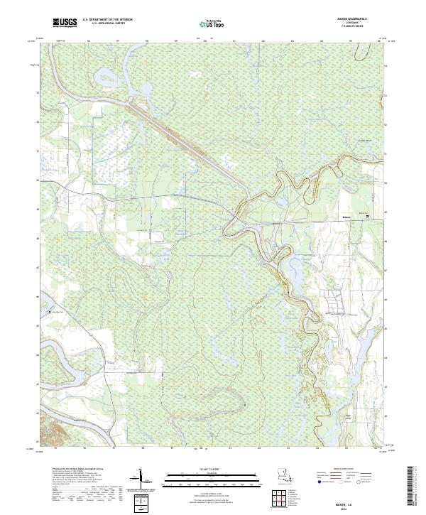
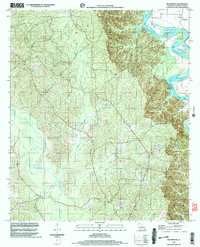
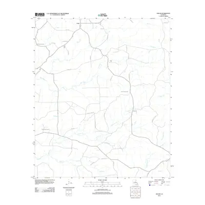
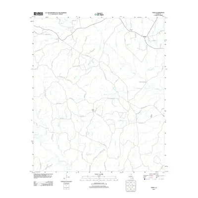
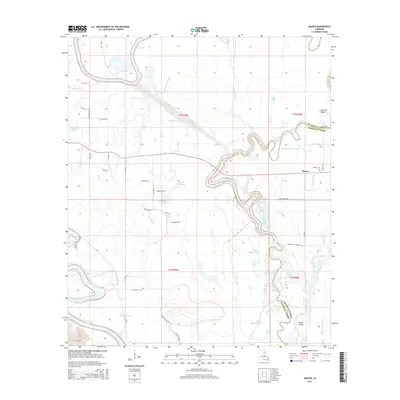
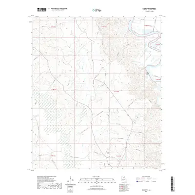
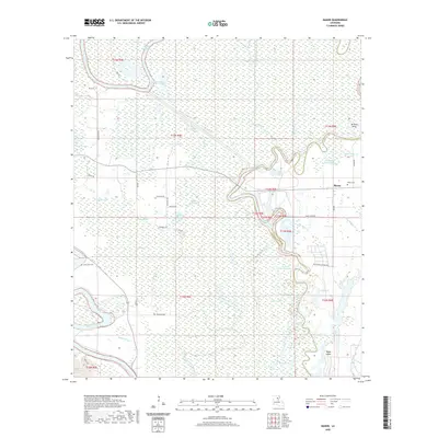
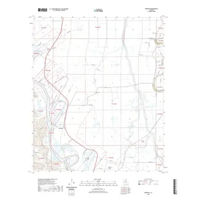
2024 Map of Mason
USGS Topo · Published 2024About this map
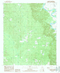
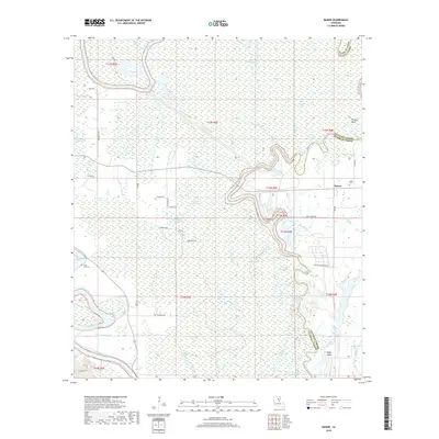
Mason and its surrounding wetlands occupy a landscape defined by the winding paths of the Boeuf River and Ouachita River. This alluvial plain is crisscrossed by an intricate network of waterways, including Bayou Lafourche and its various cutoffs, alongside numerous brakes and lagoons such as Bushy Lagoon and Thompson Brake. The boundary between Caldwell Parish and Franklin Parish snakes along the river's course, highlighting the geographic importance of these waters in defining local jurisdictions.
Find a feature on this map
57 named features on this map. Tap any name to fly to it.
Don’t see what you’re looking for? This feature index may not catch every label — zoom into the map to look around manually.
Map Details
Editions of this 2024 Mason Map
This is the sole edition of this map. No revisions or reprints were ever made.
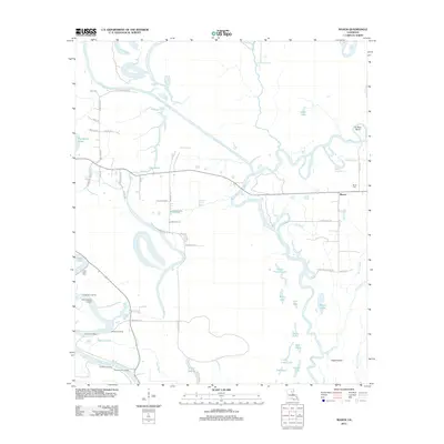
Historical Maps of Mason Through Time
44 maps found
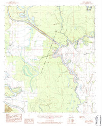
1983 Mason
Caldwell Parish, LA
1984 Holum
Caldwell Parish, LA
1984 Olla East
Caldwell Parish, LA
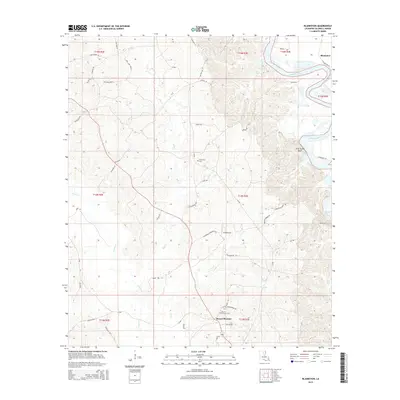
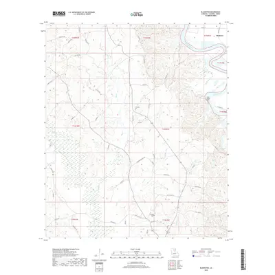
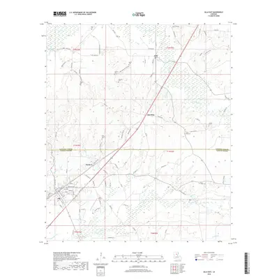
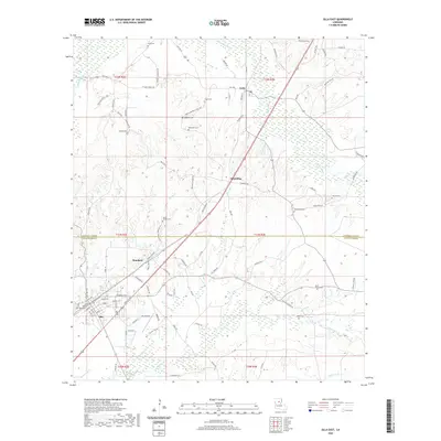
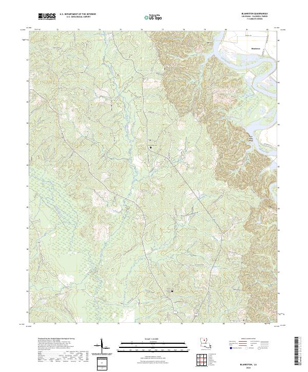
1989 Blankston
Caldwell Parish, LA
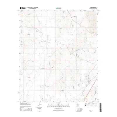
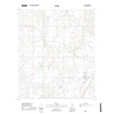
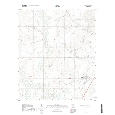
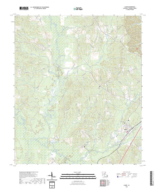
1989 Clark
Caldwell Parish, LA
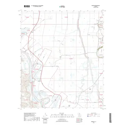
1989 Riverton
Caldwell Parish, LA
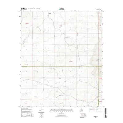
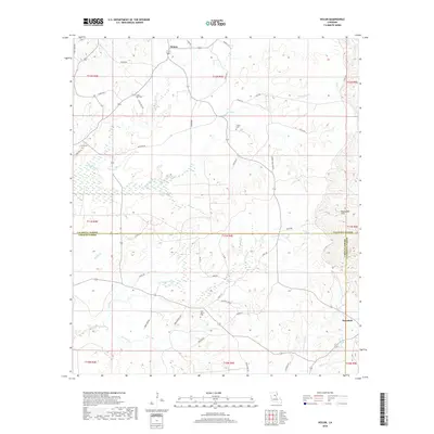
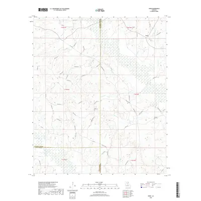
1989 Vixen
Caldwell Parish, LA
1998 Blankston
Caldwell Parish, LA
1998 Vixen
Caldwell Parish, LA
2012 Blankston
Caldwell Parish, LA
2012 Clark
Caldwell Parish, LA
2012 Holum
Caldwell Parish, LA
2012 Mason
Caldwell Parish, LA
2012 Olla East
Caldwell Parish, LA
2012 Riverton
Caldwell Parish, LA
2012 Vixen
Caldwell Parish, LA
2015 Blankston
Caldwell Parish, LA
2015 Clark
Caldwell Parish, LA
2015 Holum
Caldwell Parish, LA
2015 Mason
Caldwell Parish, LA
2015 Olla East
Caldwell Parish, LA
2015 Riverton
Caldwell Parish, LA
2015 Vixen
Caldwell Parish, LA
2018 Blankston
Caldwell Parish, LA
2018 Clark
Caldwell Parish, LA
2018 Holum
Caldwell Parish, LA
2018 Mason
Caldwell Parish, LA
2018 Olla East
Caldwell Parish, LA
2018 Riverton
Caldwell Parish, LA
2018 Vixen
Caldwell Parish, LA
2020 Blankston
Caldwell Parish, LA
2020 Clark
Caldwell Parish, LA
2020 Holum
Caldwell Parish, LA
2020 Mason
Caldwell Parish, LA
2020 Olla East
Caldwell Parish, LA
2020 Riverton
Caldwell Parish, LA
2020 Vixen
Caldwell Parish, LA
2024 Blankston
Caldwell Parish, LA
2024 Clark
Caldwell Parish, LA
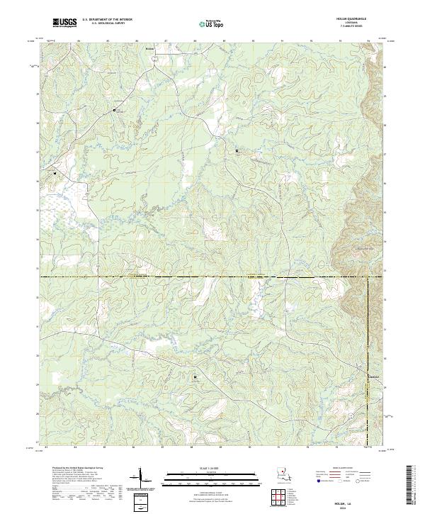
2024 Holum
Caldwell Parish, LA
2024 Mason
Caldwell Parish, LA
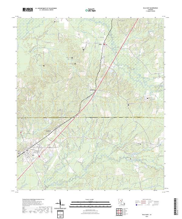
2024 Olla East
Caldwell Parish, LA
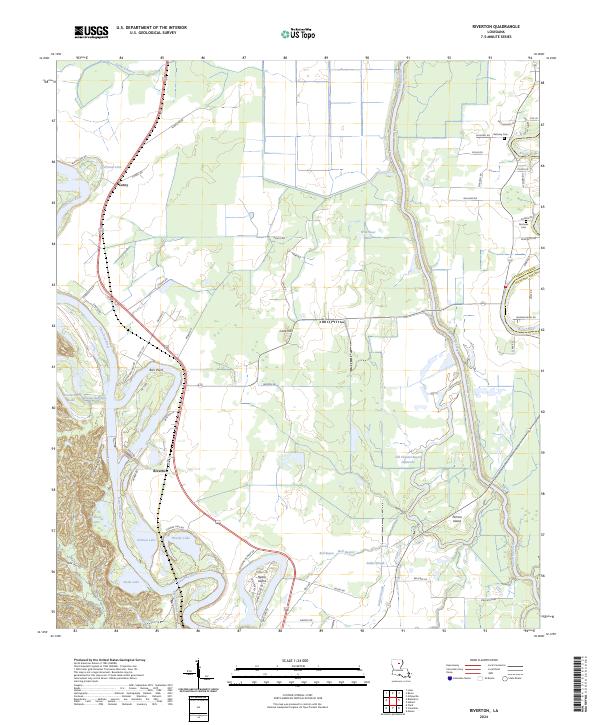
2024 Riverton
Caldwell Parish, LA
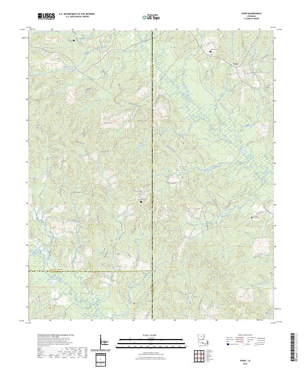
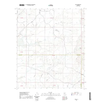
2024 Vixen
Caldwell Parish, LA