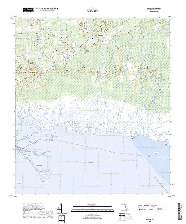
2025 Map of Sumner
USGS Topo · Published 2025This historical map portrays the area of Sumner in 2025, primarily covering Levy County. Featuring a scale of 1:24000, this map provides a highly detailed snapshot of the terrain, roads, buildings, counties, and historical landmarks in the Sumner region at the time. Published in 2025, it is the sole known edition of this map.
Map Details
Editions of this 2025 Sumner Map
This is the sole edition of this map. No revisions or reprints were ever made.
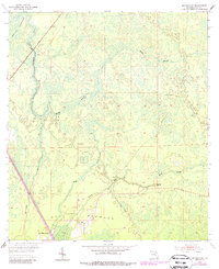
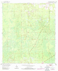
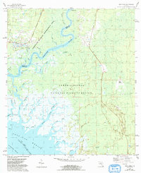
Historical Maps of Rosewood Through Time
32 maps found
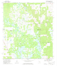
1954 Bronson SW
Levy County, FL
1954 Chiefland SW
Levy County, FL
1954 East Pass
Levy County, FL
1954 Manatee Springs
Levy County, FL
1954 Yankeetown SE
Levy County, FL
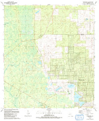
1955 Bronson NE
Levy County, FL
1955 Bronson SE
Levy County, FL
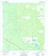
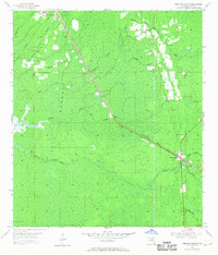
1955 Lebanon Station
Levy County, FL
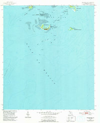
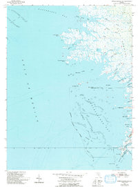
1955 Seahorse Key
Levy County, FL
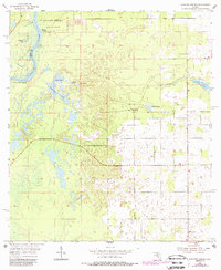
1955 Sumner
Levy County, FL
1955 Tidewater
Levy County, FL
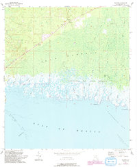
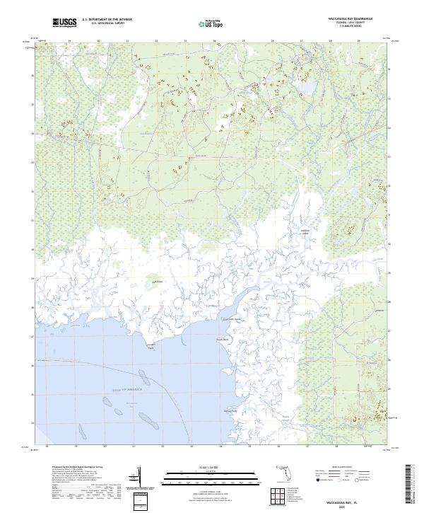
1955 Waccasassa Bay
Levy County, FL
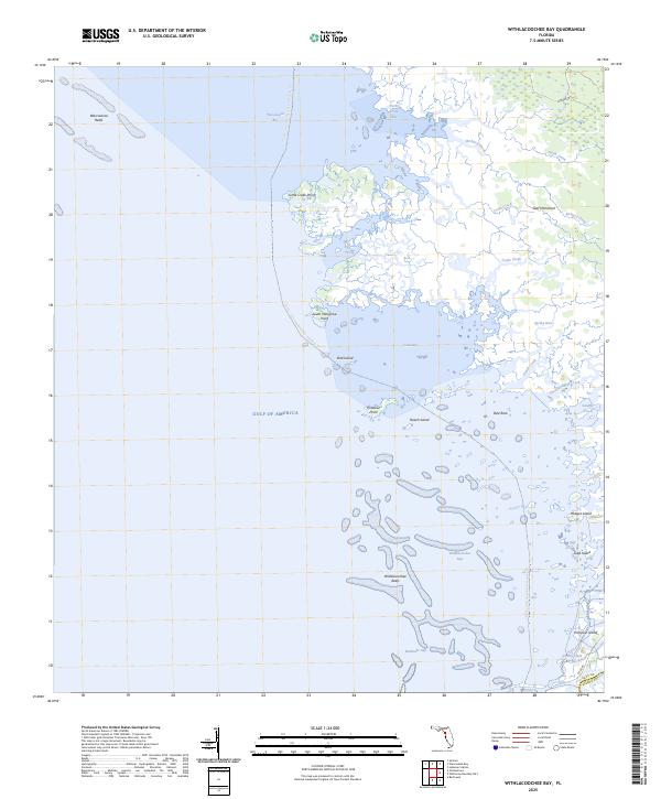
1955 Withlacoochee Bay
Levy County, FL
1957 Bronson SE
Levy County, FL
1968 Lebanon Station
Levy County, FL
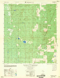
1968 Newberry SW
Levy County, FL
1991 Tidewater
Levy County, FL

1991 Yankeetown SE
Levy County, FL
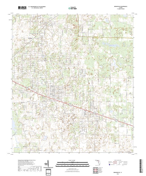
2024 Bronson NE
Levy County, FL
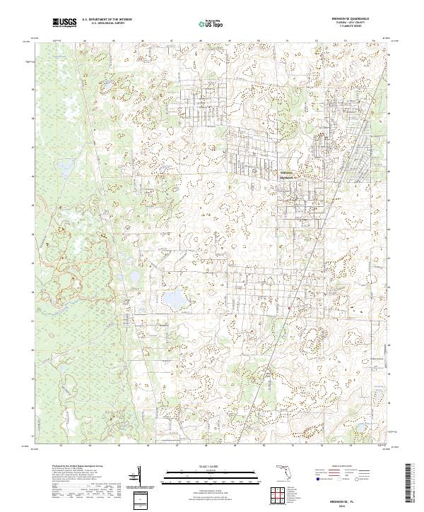
2024 Bronson SE
Levy County, FL
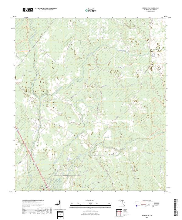
2024 Bronson SW
Levy County, FL
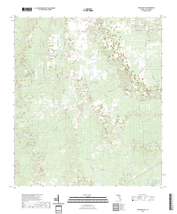
2024 Chiefland SW
Levy County, FL

2024 Lebanon Station
Levy County, FL
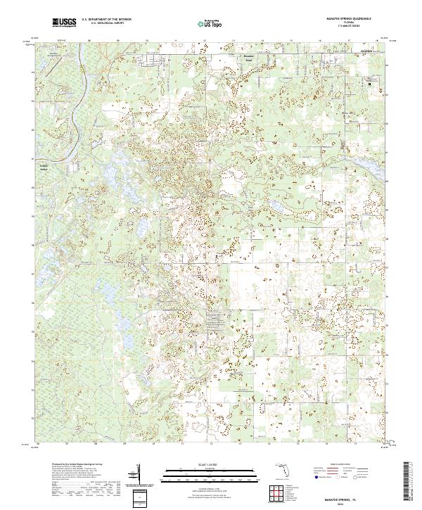
2024 Manatee Springs
Levy County, FL
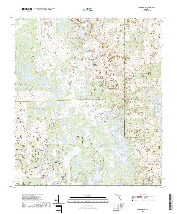
2024 Newberry SW
Levy County, FL
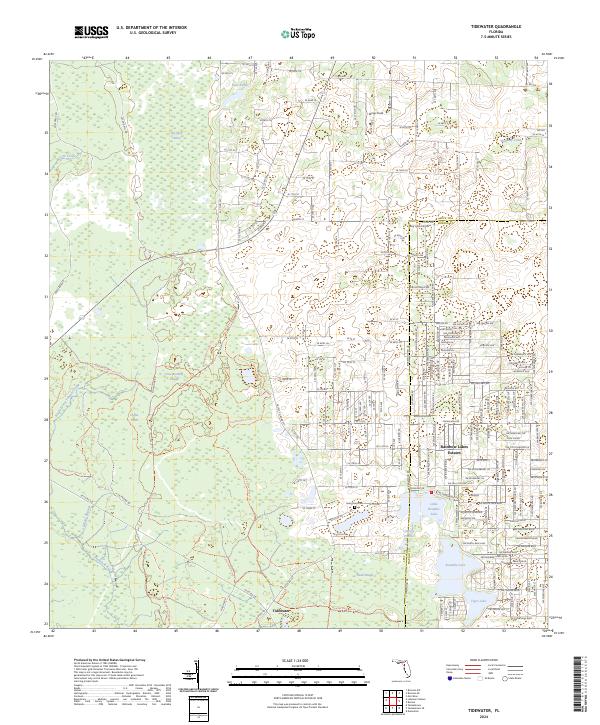
2024 Tidewater
Levy County, FL
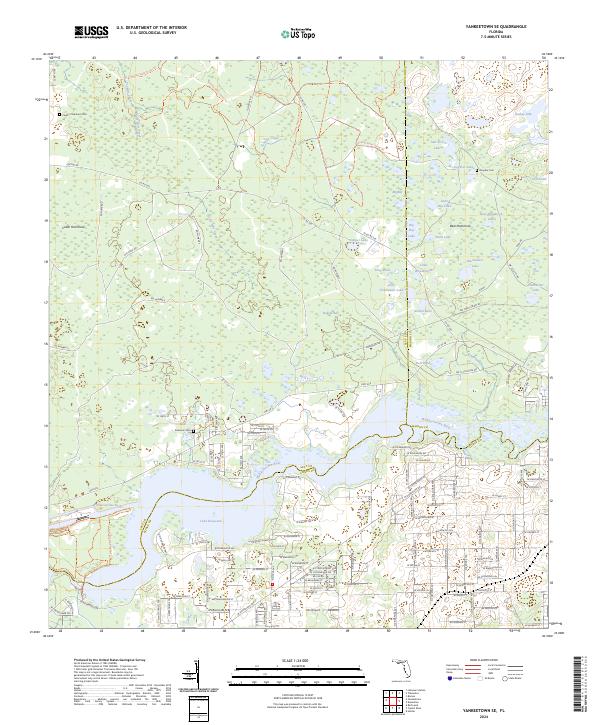
2024 Yankeetown SE
Levy County, FL
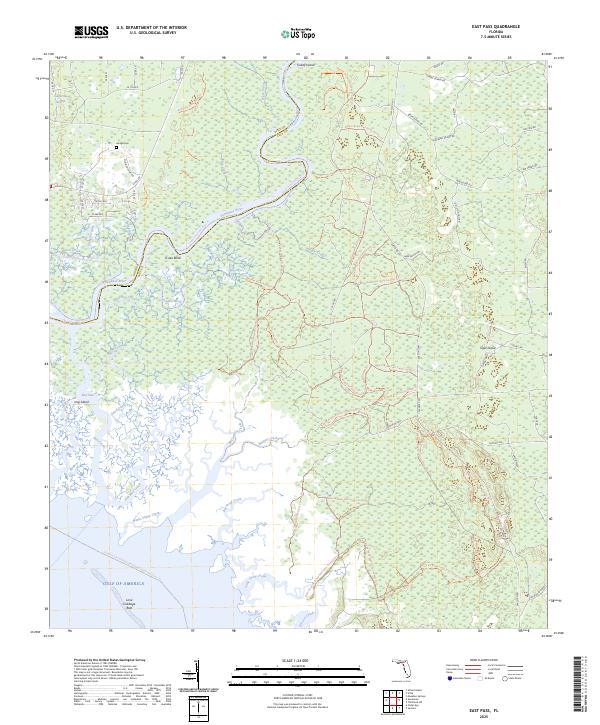
2025 East Pass
Levy County, FL
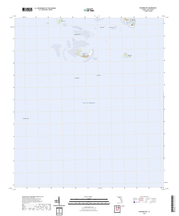
2025 Seahorse Key
Levy County, FL
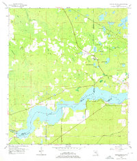
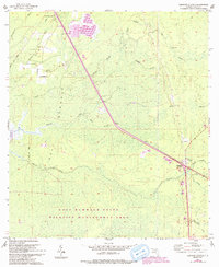
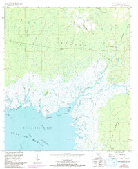
2025 Sumner
Levy County, FL
2025 Waccasassa Bay
Levy County, FL
2025 Withlacoochee Bay
Levy County, FL