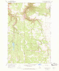
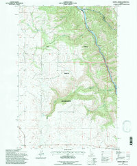
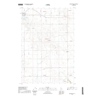
2024 Map of Westlake
USGS Topo · Published 2024About this map
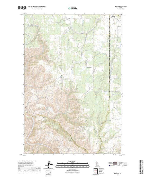
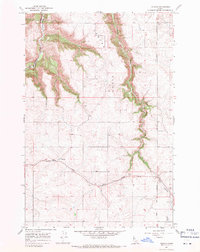
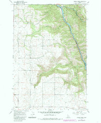
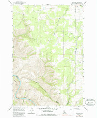
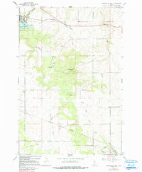
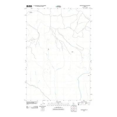
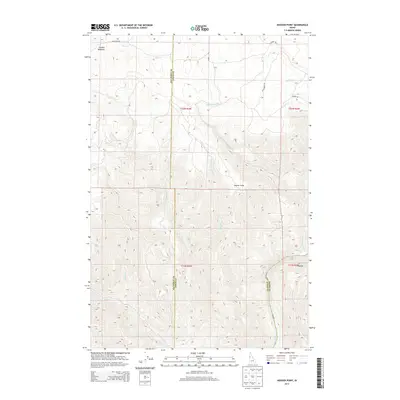
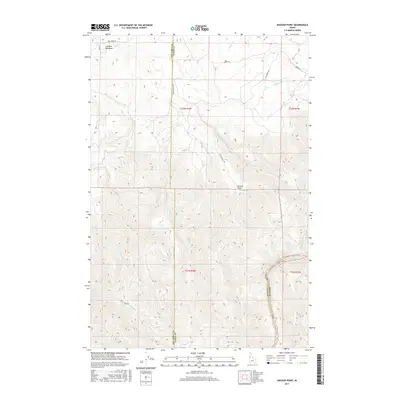
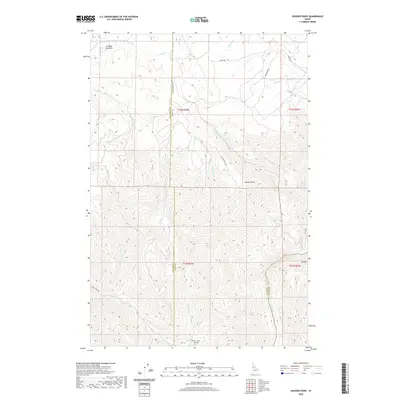
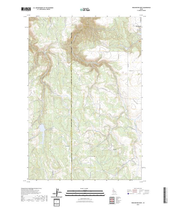
Westlake serves as a primary reference point in this corner of Idaho, where the upland plateaus begin their sharp descent into the deep drainages of the Salmon River. The transition from agricultural tablelands to steep canyon walls is marked by a complex network of local roads such as Haas Ranch Rd and Hussman Mill Rd, which navigate the high ground before the land drops away into Long Canyon. A notable trace of former infrastructure, the Old Railroad Grade winds across the northern section of the map near Willow Creek, offering a glimpse into the historic transportation corridors that once linked these isolated settlements. Along the river, the landscape becomes increasingly dramatic at Snow Hole Rapids and the Oxbow, where the waterway carves a serpentine path through the terrain. The map also records numerous seasonal drainages including Maloney Creek and Deep Creek, which define the rugged boundary between Lewis and Idaho counties.
Find a feature on this map
27 named features on this map. Tap any name to fly to it.
Don’t see what you’re looking for? This feature index may not catch every label — zoom into the map to look around manually.
Map Details
Editions of this 2024 Westlake Map
This is the sole edition of this map. No revisions or reprints were ever made.
Historical Maps of Idaho County Through Time
49 maps found
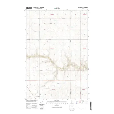
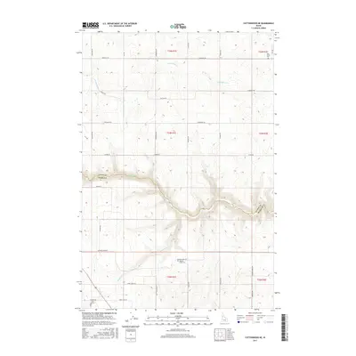
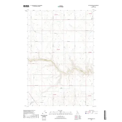
1967 Cottonwood NE
Lewis County, ID
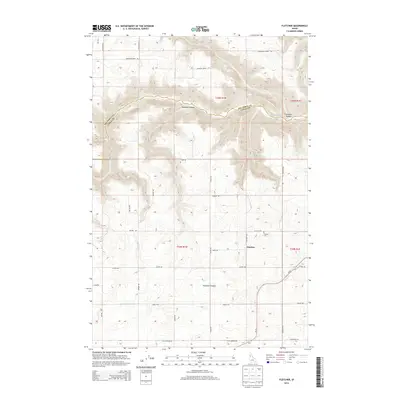
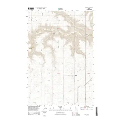
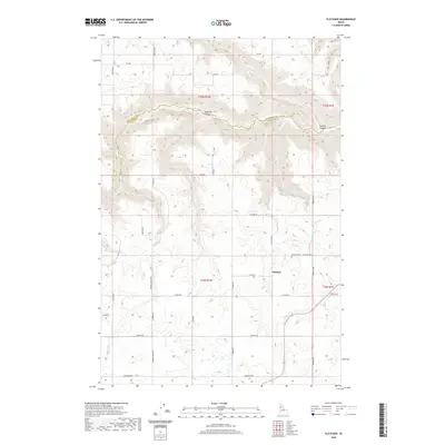
1967 Fletcher
Lewis County, ID
1967 Hoover Point
Lewis County, ID
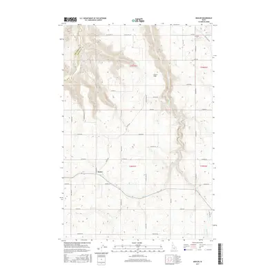
1967 Mohler
Lewis County, ID
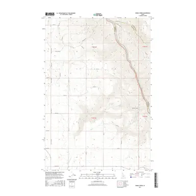
1967 Sixmile Creek
Lewis County, ID
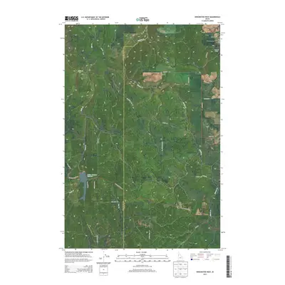
1967 Westlake
Lewis County, ID
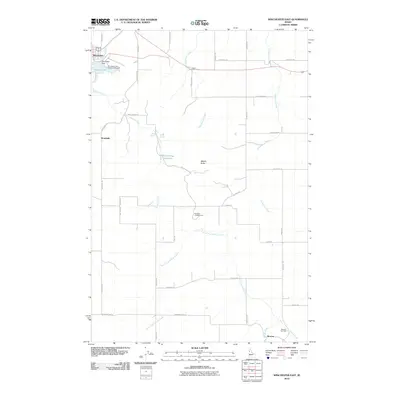
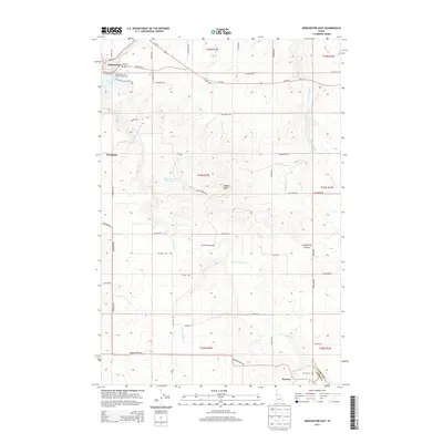
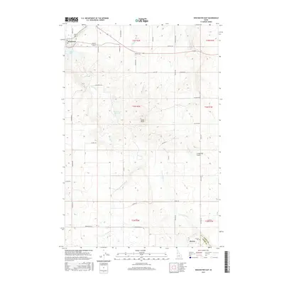
1967 Winchester East
Lewis County, ID
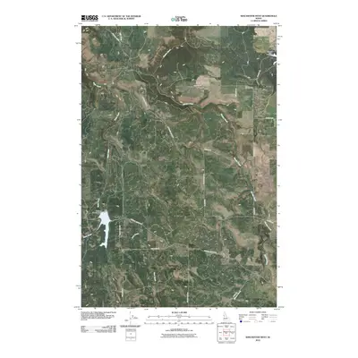
1968 Winchester West
Lewis County, ID
1994 Sixmile Creek
Lewis County, ID
2010 Cottonwood NE
Lewis County, ID
2010 Fletcher
Lewis County, ID
2010 Hoover Point
Lewis County, ID
2010 Mohler
Lewis County, ID
2010 Sixmile Creek
Lewis County, ID
2010 Westlake
Lewis County, ID
2010 Winchester East
Lewis County, ID
2010 Winchester West
Lewis County, ID
2013 Cottonwood NE
Lewis County, ID
2013 Fletcher
Lewis County, ID
2013 Hoover Point
Lewis County, ID
2013 Mohler
Lewis County, ID
2013 Sixmile Creek
Lewis County, ID
2013 Westlake
Lewis County, ID
2013 Winchester East
Lewis County, ID
2013 Winchester West
Lewis County, ID
2017 Cottonwood NE
Lewis County, ID
2017 Fletcher
Lewis County, ID
2017 Hoover Point
Lewis County, ID
2017 Mohler
Lewis County, ID
2017 Sixmile Creek
Lewis County, ID
2017 Westlake
Lewis County, ID
2017 Winchester East
Lewis County, ID
2017 Winchester West
Lewis County, ID
2020 Cottonwood NE
Lewis County, ID
2020 Fletcher
Lewis County, ID
2020 Hoover Point
Lewis County, ID
2020 Mohler
Lewis County, ID
2020 Sixmile Creek
Lewis County, ID
2020 Westlake
Lewis County, ID
2020 Winchester East
Lewis County, ID
2020 Winchester West
Lewis County, ID
2024 Cottonwood NE
Lewis County, ID
2024 Fletcher
Lewis County, ID
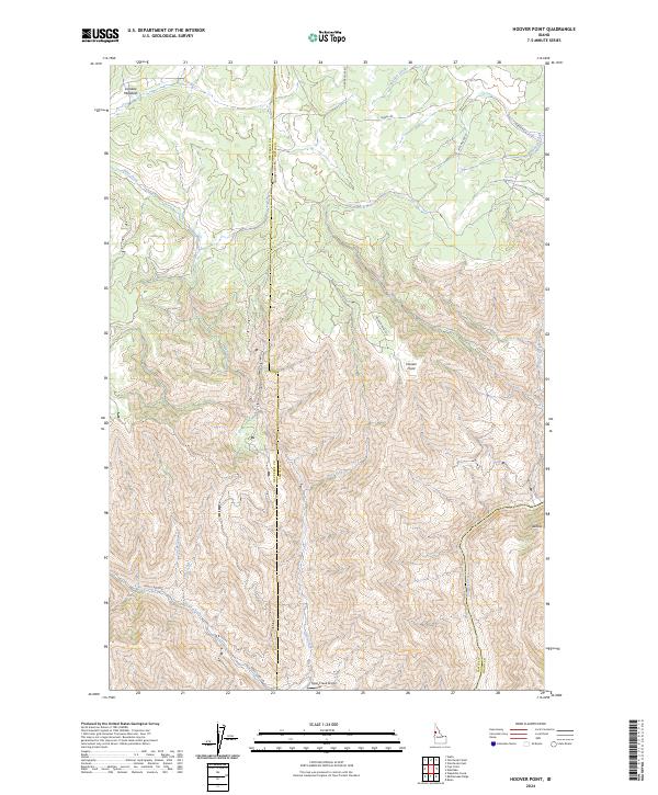
2024 Hoover Point
Lewis County, ID
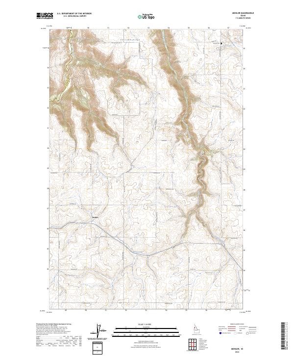
2024 Mohler
Lewis County, ID
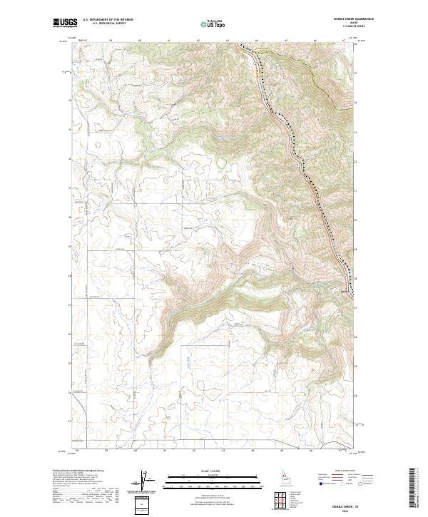
2024 Sixmile Creek
Lewis County, ID
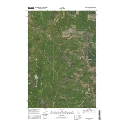
2024 Westlake
Lewis County, ID
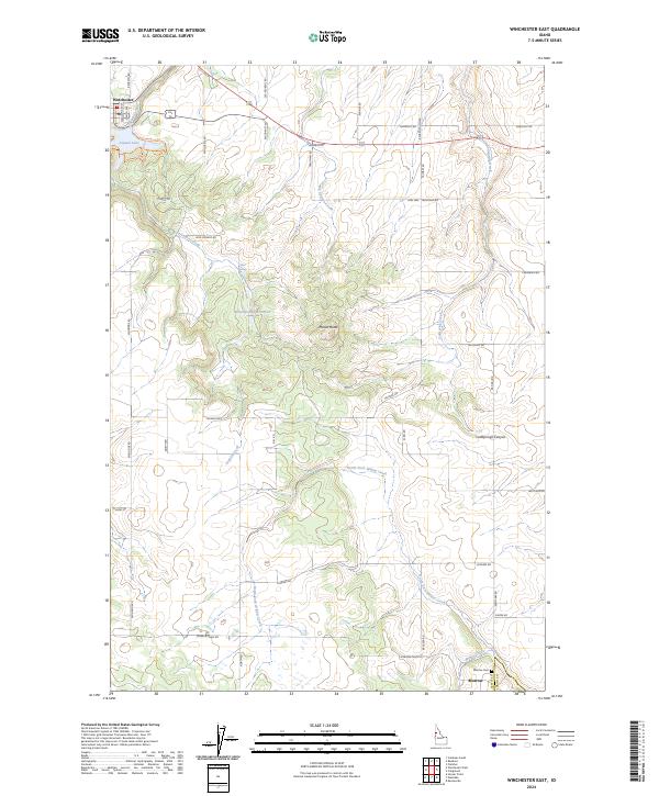
2024 Winchester East
Lewis County, ID
2024 Winchester West
Lewis County, ID